Plizio Visual Lab
Gacan Libaah
Weather…
Water temperature…
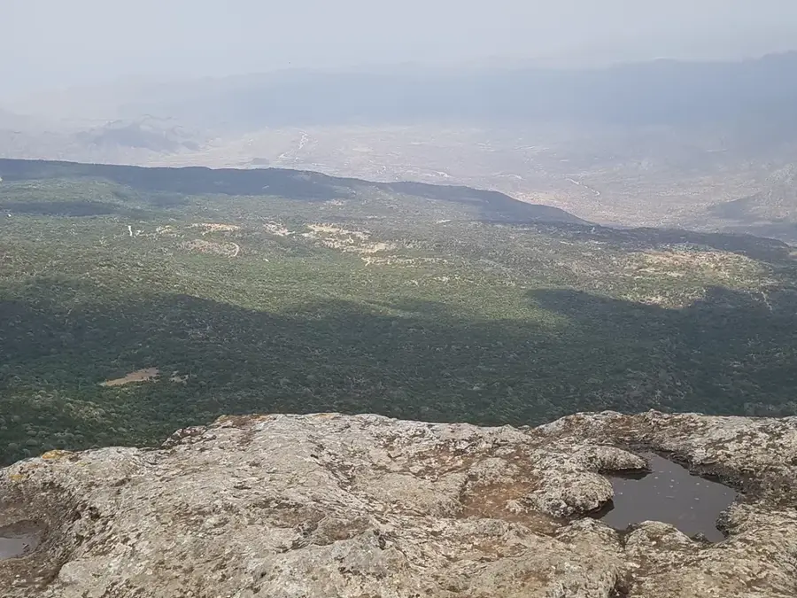
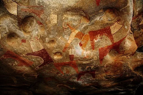
Gacan Libaah is a prominent limestone plateau located in the Golis Mountains of northern Somaliland, reaching an elevation of nearly 2,000 meters. This site is renowned for its high biodiversity and serves as a vital watershed for the surrounding drylands. The highland vegetation differs drastically from the coastal plains, comprising dense juniper forests and various endemic plant species. Historically, Gacan Libaah was a strategic retreat and observation point for British colonial troops and later for local resistance movements. The name means 'lion's hand' in the Somali language, which may refer to the distinctive shape of the rock formations or the historical presence of predators. Ecologically, the plateau is one of the few areas in the region that still possesses a continuous forest cover, though overgrazing and charcoal production pose a constant threat. The cool breeze and frequent fog at the summit provide a stark contrast to the heat of the Guban lowlands.
- Location: Somalia
- Top sights: Barqasan · Dhariyo · Mandheera
- Nearby: Sheikh (55 km)
Best time to visit & climate
The most pleasant time to visit is Jan, Feb, Dec.
| Jan | Feb | Mar | Apr | May | Jun | Jul | Aug | Sep | Oct | Nov | Dec | |
|---|---|---|---|---|---|---|---|---|---|---|---|---|
| Avg °C | 21 | 23 | 25 | 27 | 29 | 31 | 31 | 30 | 30 | 26 | 23 | 22 |
| Rain mm | 6 | 7 | 21 | 71 | 25 | 14 | 22 | 38 | 29 | 31 | 17 | 21 |
📋 Practical info
Geography
Facts
- The summit of the plateau is situated at about 1,800 to 2,000 meters elevation.
- African juniper (Juniperus procera) is the dominant tree species.
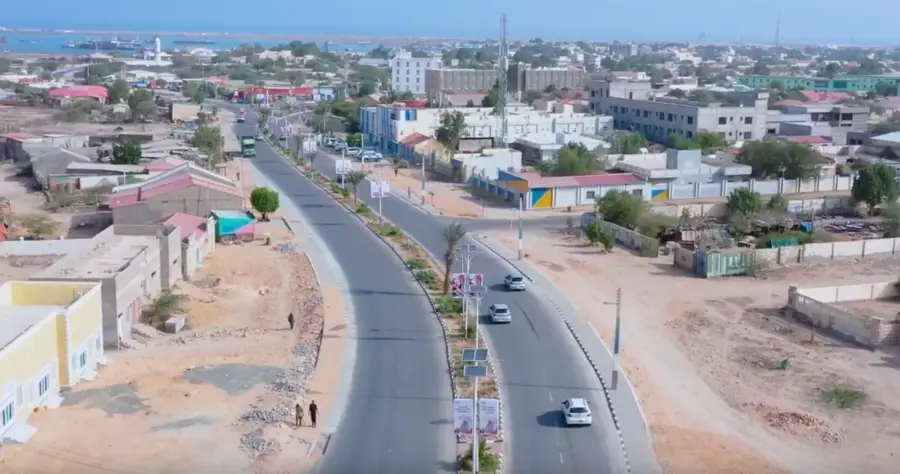
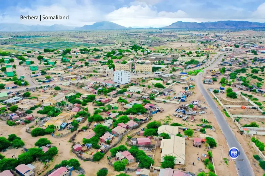
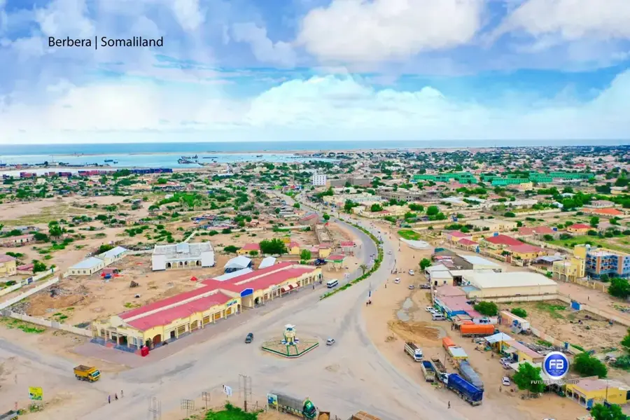
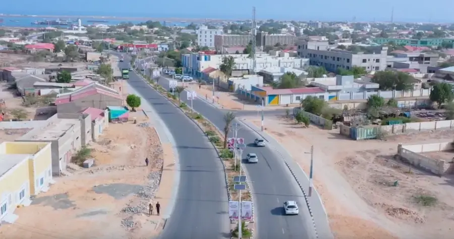
- The area is located about 60 kilometers south of the coastal city of Berbera.
- In 1952, the area was officially designated as a forest reserve.
- Due to its elevation, the temperature is often 10-15 degrees cooler than at the sea.
- The plateau is a critical habitat for the rare Beira antelope.
Explore nearby
Notable places around
Route planner — Car & Motorhome
Where do you start? We build the route here, with stops and country notes along the way.
© OpenStreetMap contributors · OpenRouteService
Sights in the town Gacan Libaah (3)
Sights nearby
Frequently asked questions
What is Gacan Libaah?
Can one camp there?
Is the hike difficult?
What about fauna?
Best time to travel?
Gacan Libaah: where is it located?
Gacan Libaah: what is there to see?
Gacan Libaah: when is the best time to visit?
Gacan Libaah: why is it worth visiting?

Nearby cities

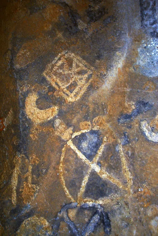
History & landmarks

Nature
More places