Plizio Visual Lab
Ayaha Plains

Weather…
Water temperature…
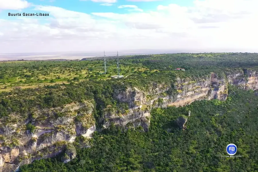
The Ayaha Plains extend across northwestern Somalia, south of the city of Hargeisa, forming a vital semi-arid landscape within the Somaliland plateau. These vast grasslands have for centuries been the backbone of the region's nomadic pastoral economy, providing essential grazing grounds for camels, sheep, and goats during the rainy seasons. Geographically, the plain is characterized by a gentle topography with scattered acacia trees and seasonal watercourses that swell briefly after heavy rains. Local culture is deeply rooted in the cycles of transhumance, with nomadic communities organizing their lives around the water and forage availability in the Ayaha Plains. Despite its arid appearance, the plain supports a specialized fauna, including various gazelle species and a variety of birds of prey. In recent decades, increasing settlement pressure and climate change have challenged the ecological balance of the plains, requiring enhanced efforts for sustainable land management and conservation.
- Location: Somalia
- Top sights: tls t miyi iyo magaalo eng shibiin · tls geele Arab · TAYO FACTORY0634422343 (ENG:shibin 4220248)
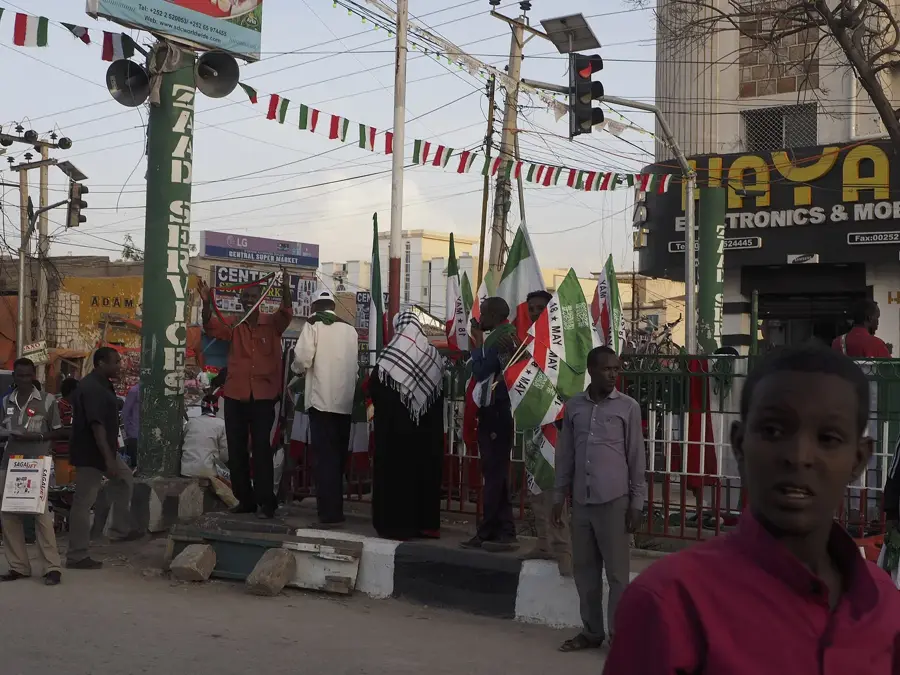
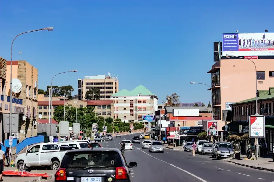
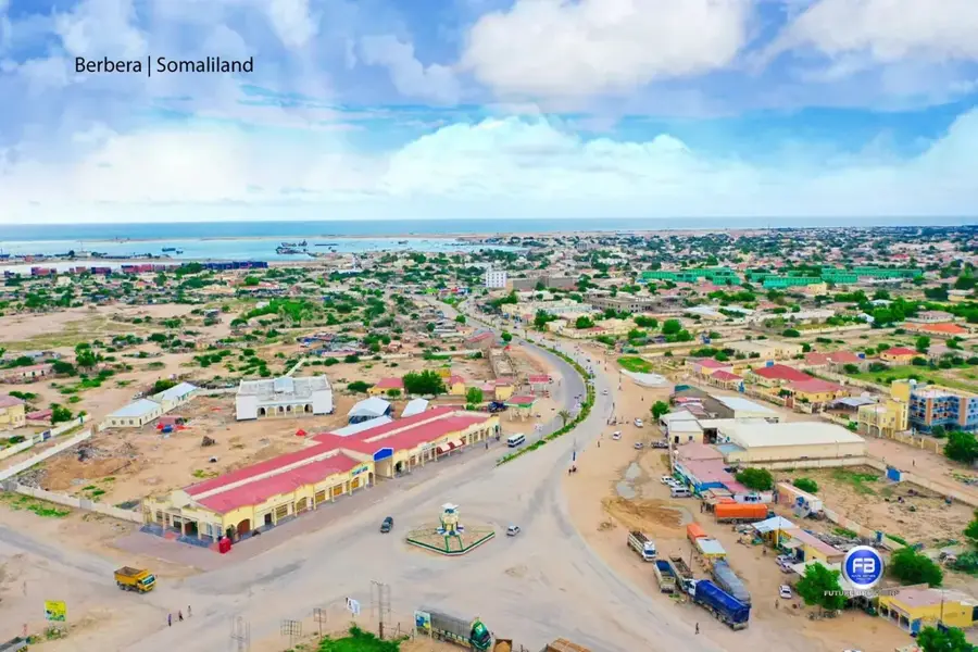
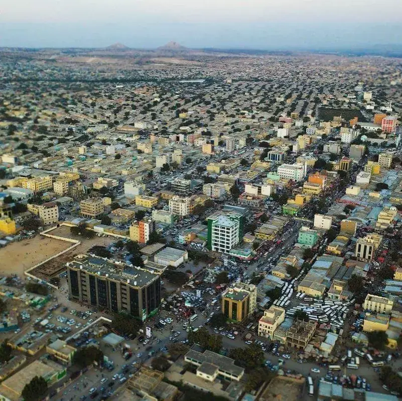
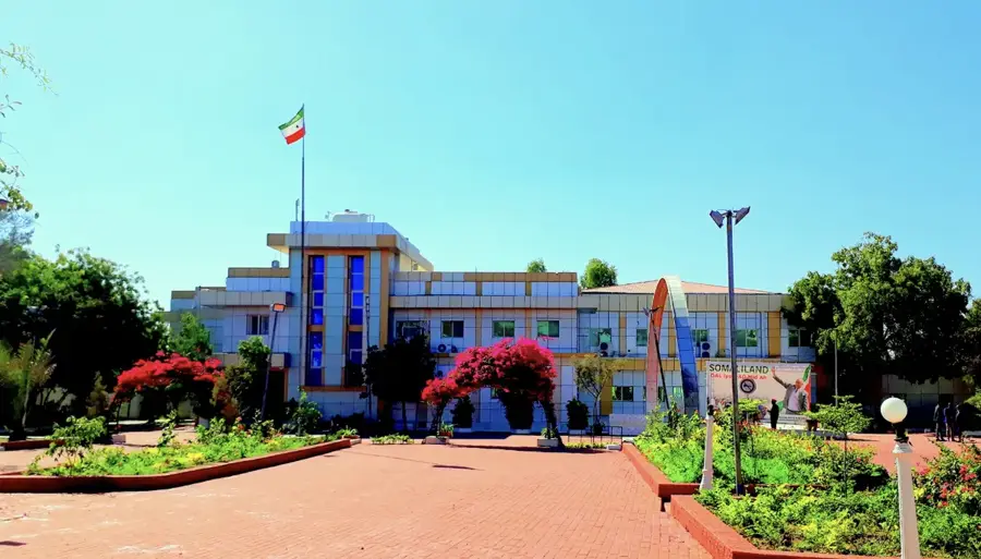
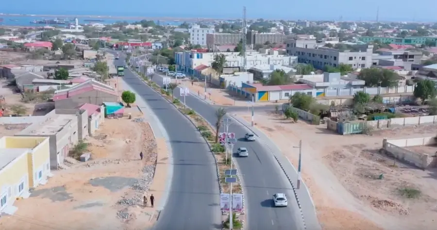
- Nearby: Hargeisa (16 km)
Best time to visit & climate
The most pleasant time to visit is Feb, Oct, Nov.
| Jan | Feb | Mar | Apr | May | Jun | Jul | Aug | Sep | Oct | Nov | Dec | |
|---|---|---|---|---|---|---|---|---|---|---|---|---|
| Avg °C | 18 | 20 | 22 | 23 | 24 | 24 | 23 | 23 | 23 | 22 | 20 | 18 |
| Rain mm | 4 | 6 | 24 | 81 | 41 | 28 | 36 | 58 | 56 | 32 | 18 | 14 |
📋 Practical info
Geography
Facts
- The Ayaha Plains are located approximately 30 to 50 kilometers south of Hargeisa.
- Average annual rainfall in the plains is typically less than 300 mm.
- The territory is primarily used by the Isaaq clan for pastoral grazing.
- The elevation of the plains averages around 1200 meters above sea level.
- Seasonal wadis crisscross the area, filling up during the Gu rainy season.
- The plains are famous for the breeding of high-quality Somali blackhead sheep.
Explore nearby
Notable places around
Route planner — Car & Motorhome
Where do you start? We build the route here, with stops and country notes along the way.
© OpenStreetMap contributors · OpenRouteService
Sights in the town Ayaha Plains (3)
Sights nearby
Frequently asked questions
Is the Ayaha plains suitable for hikes?
Do you need to take much water?
What animals live there?
Is the plain developed for tourists?
What is the soil structure like?
Ayaha Plains: where is it located?
Ayaha Plains: what is there to see?
Ayaha Plains: when is the best time to visit?
Ayaha Plains: why is it worth visiting?

Nearby cities

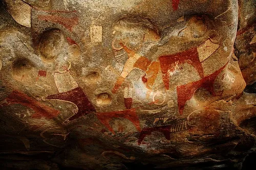
History & landmarks

Nature

More places