Plizio Visual Lab
Shabelle middle reach
Weather…
Water temperature…
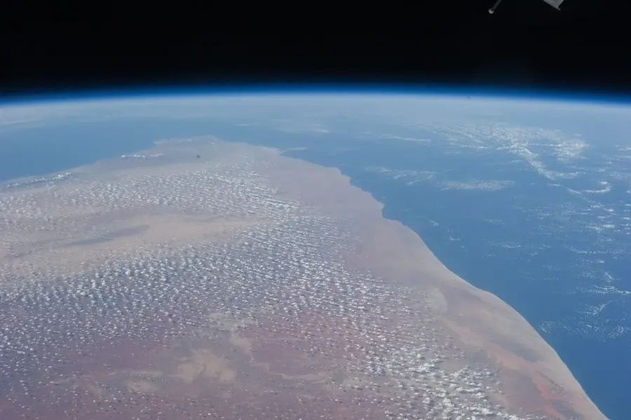
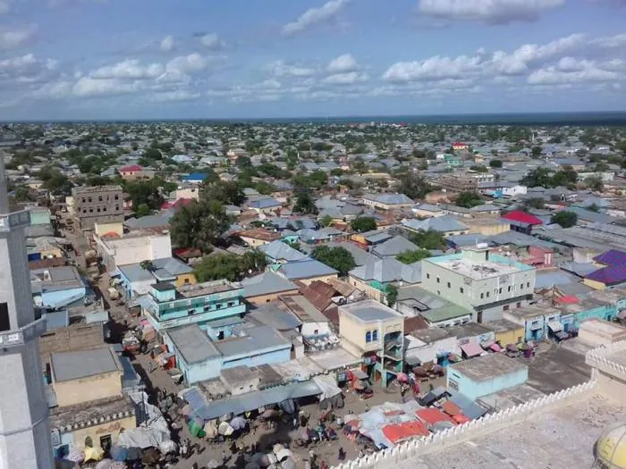
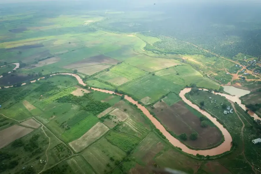
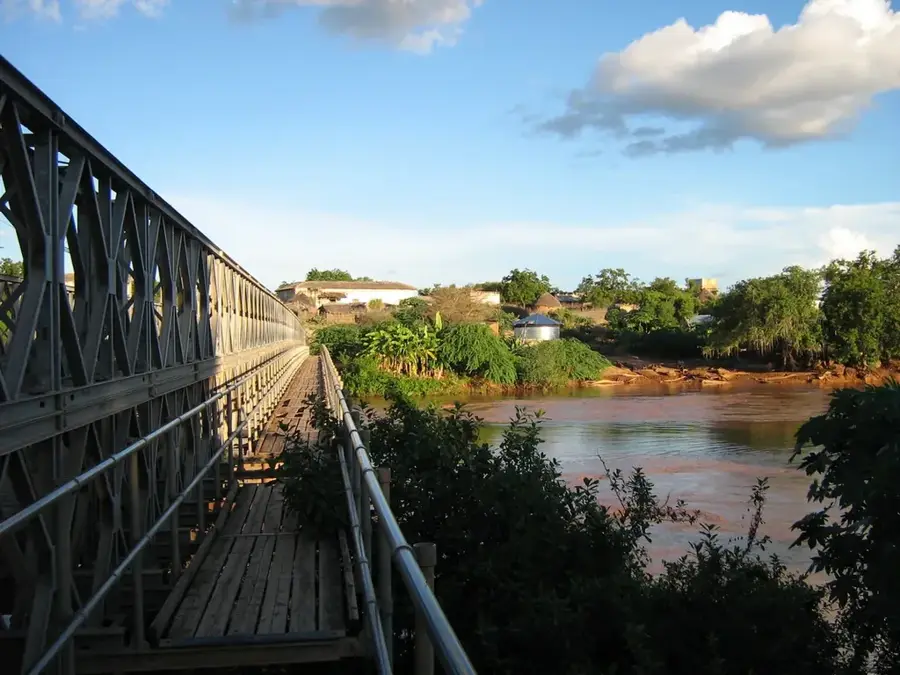
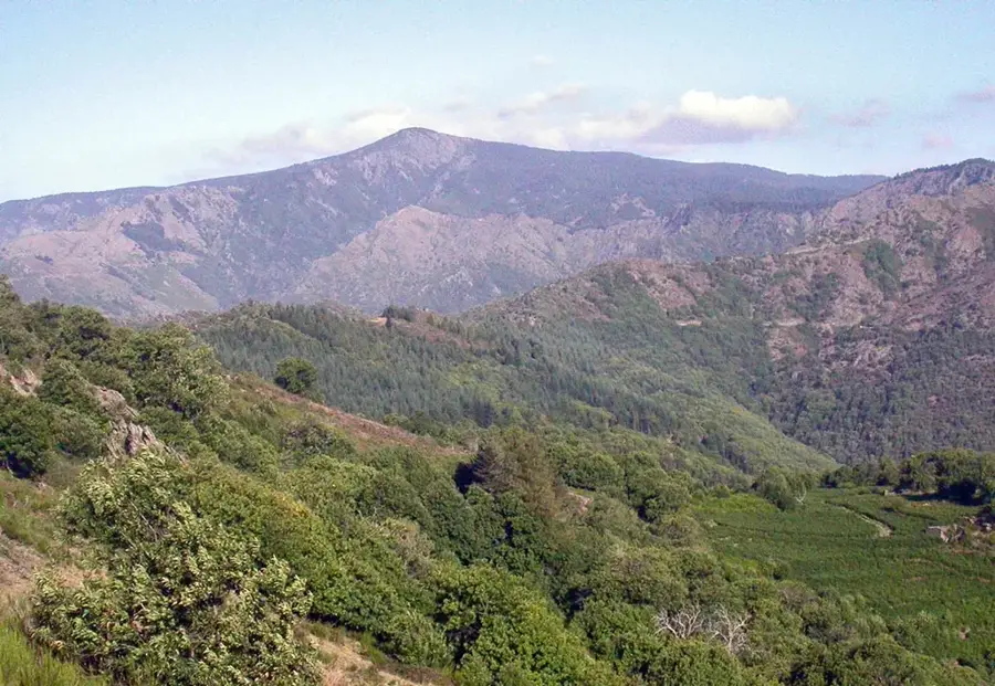
The middle reach of the Shabelle River stretches through the fertile plains of Shabelle Dhexe in south-central Somalia, centered near the city of Jowhar. This area constitutes the agricultural heartland of the country, as the river has created a broad alluvial plain good for intensive farming. During the Italian colonial period, the S.A.I.S. (Società Agricola Italo-Somala) was founded here, constructing an extensive system of canals and dams to enable the cultivation of cotton and sugarcane. Today, the region is known for producing bananas, maize, and rice, which are critical for national food security. The river itself is subject to strong seasonal fluctuations and frequently overflows during the rainy seasons, fertilizing the soil but also posing regular flood risks. The riparian vegetation is characterized by dense gallery forests that provide an essential habitat for various primates and waterbirds. The Shabelle middle reach is thus a prime example of the symbiosis between a natural river ecosystem and a human-managed cultural landscape.
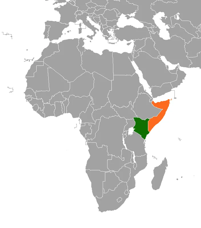
- Location: Somalia
- Nearby: Burhakaba (18 km)
Best time to visit & climate
The most pleasant time to visit is Jun–Aug.
| Jan | Feb | Mar | Apr | May | Jun | Jul | Aug | Sep | Oct | Nov | Dec | |
|---|---|---|---|---|---|---|---|---|---|---|---|---|
| Avg °C | 27 | 29 | 30 | 28 | 26 | 26 | 25 | 26 | 27 | 27 | 26 | 26 |
| Rain mm | 4 | 3 | 29 | 170 | 68 | 23 | 16 | 30 | 27 | 138 | 128 | 27 |
📋 Practical info
Geography
Facts
- Jowhar is located approximately 90 kilometers north of the capital Mogadishu.
- In the 1920s, the largest sugar refinery in East Africa was built here.
- The Shabelle River often fails to reach the sea, disappearing in marshes.
- The irrigation system includes over 100 kilometers of main canals.
- The region produces over 60% of the grain consumed in Somalia.
- Flooding occurs most frequently during the 'Gu' season (April-June).
Explore nearby
Notable places around
Route planner — Car & Motorhome
Where do you start? We build the route here, with stops and country notes along the way.
© OpenStreetMap contributors · OpenRouteService
Sights nearby
Frequently asked questions
When is the best time to visit Shabelle Mittellauf?
Is a 4x4 vehicle required to get there?
Are there sanitary facilities near the river?
How difficult are the hikes along the shore?
Can wild animals be observed in the region?
Shabelle middle reach: where is it located?
Shabelle middle reach: when is the best time to visit?
Shabelle middle reach: why is it worth visiting?

Nearby cities

History & landmarks
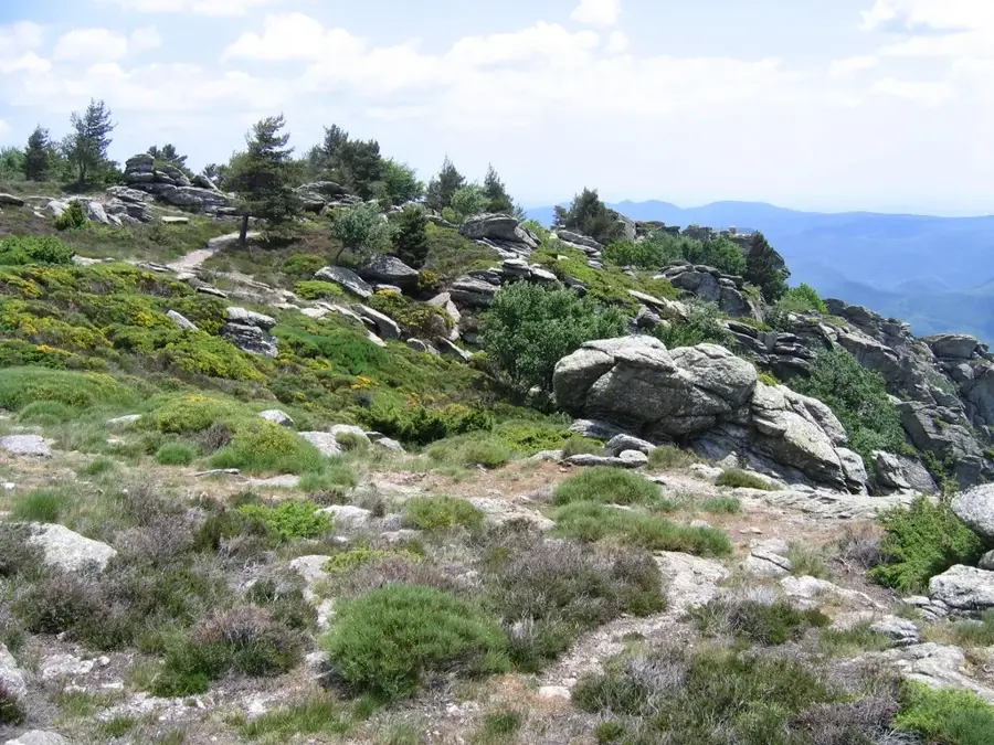
Nature
More places