Plizio Visual Lab
Wanlaweyn
ℹ️Practical info — Wanlaweyn
▾
🌤 Weather — 5 days
📍 Nearby
Sights nearby
💡 Tips
- Depart early in the morning to avoid the midday heat and the heavy truck traffic heading to Mogadishu.
- Visit the local livestock market mid-morning to experience the town's commercial heart.
- Take advantage of the town's role as a transit hub by stopping at one of the many teahouses along the main road.
- Always carry small denominations of cash, as digital payments are uncommon at small stalls.
- Be prepared for dust; wear appropriate clothing and keep a light scarf handy.
🍽 Food
Try this local specialty in the eateries near the market square, usually served with rice or Muufo bread.
A traditional Somali flatbread baked in a clay oven; first-rate for scooping up hearty stews.
Enjoy tea flavored with cardamom and cloves at the roadside kiosks near the transport hub.
🛍 Shopping · 🧘 Quiet spots
One of the region's most significant markets; watch the trading of camels and goats.
Buy fresh fruits and vegetables directly from farmers coming from the surrounding provinces.
A short walk toward the irrigated fields at the edge of town features a quiet, green escape.
Find a quiet spot in one of the shaded inner courtyards away from the dusty main road.
Water temperature…
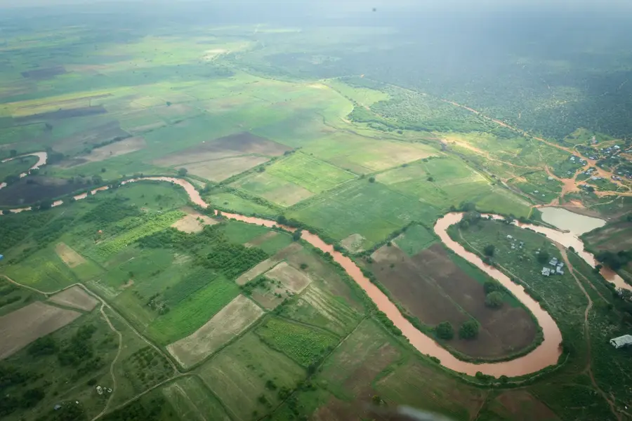
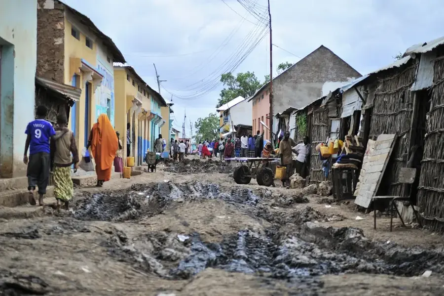
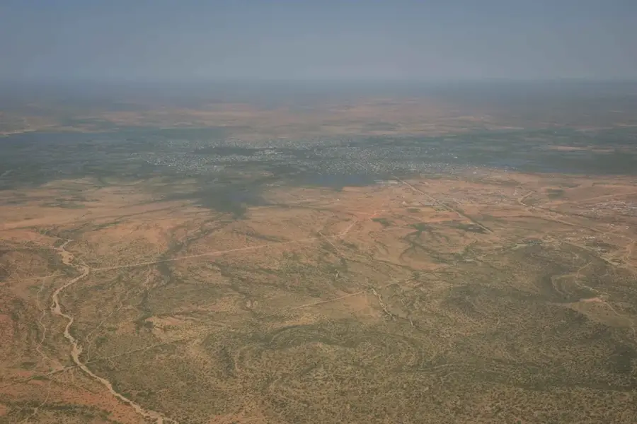
Wanlaweyn is a strategically located town in the Lower Shabelle region of Somalia, situated approximately 90 kilometers northwest of Mogadishu. It lies on the primary highway connecting the capital to Baidoa, making it a vital commercial hub for transit and trade. The town is widely known for its extensive livestock market, which serves as a major economic driver for the surrounding pastoral communities. Historically, Wanlaweyn has been a key administrative center within the Shabelle valley's agricultural belt. Near the town is the Baledogle airfield, originally established in the 1970s with Soviet assistance, which remains a critical military installation for regional security operations. The local economy relies on a combination of pastoralism and rain-fed agriculture, with farmers primarily cultivating sorghum and maize in the fertile plains that characterize the district's geography.
Explore on the map
How well do you know Somalia?
Find cities, landscapes and regions in 10 varied challenges on the interactive map.
Your journey, your memory
A postcard from Wanlaweyn
Turn your own photo into a personal postcard with a local stamp. Free and no sign-up required.
Create a postcard- Location: Somalia
- Nearby: Afgooye (59 km)
- Population: ~22.022 (2012)
Best time to visit & climate
The most pleasant time to visit is Jun–Aug.
| Jan | Feb | Mar | Apr | May | Jun | Jul | Aug | Sep | Oct | Nov | Dec | |
|---|---|---|---|---|---|---|---|---|---|---|---|---|
| Avg °C | 28 | 29 | 30 | 29 | 28 | 27 | 26 | 27 | 28 | 28 | 27 | 28 |
| Rain mm | 5 | 3 | 23 | 132 | 60 | 28 | 18 | 35 | 26 | 110 | 119 | 25 |
Geography
Facts
- Located approximately 90 km northwest of Mogadishu.
- Key transit point on the highway linking the capital to Baidoa.
- Host to one of the largest livestock markets in southern Somalia.
- The nearby Baledogle airbase was upgraded in 1975.
- Administratively falls under the Lower Shabelle region.
- Primary agricultural products include sorghum and maize.
Explore nearby
Notable places around

Route planner — Car & Motorhome
Where do you start? We build the route here, with stops and country notes along the way.
© OpenStreetMap contributors · OpenRouteService
Frequently asked questions
Where is Wanlaweyn located?
What characterizes the place?
Are there any attractions?
How to get there?
What should one know?
Wanlaweyn: where is it located?
Wanlaweyn: when is the best time to visit?
Wanlaweyn: why is it worth visiting?

Nearby cities
History & landmarks

More places