Plizio Visual Lab
Dadaab bushland
Weather…
Water temperature…
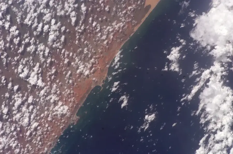
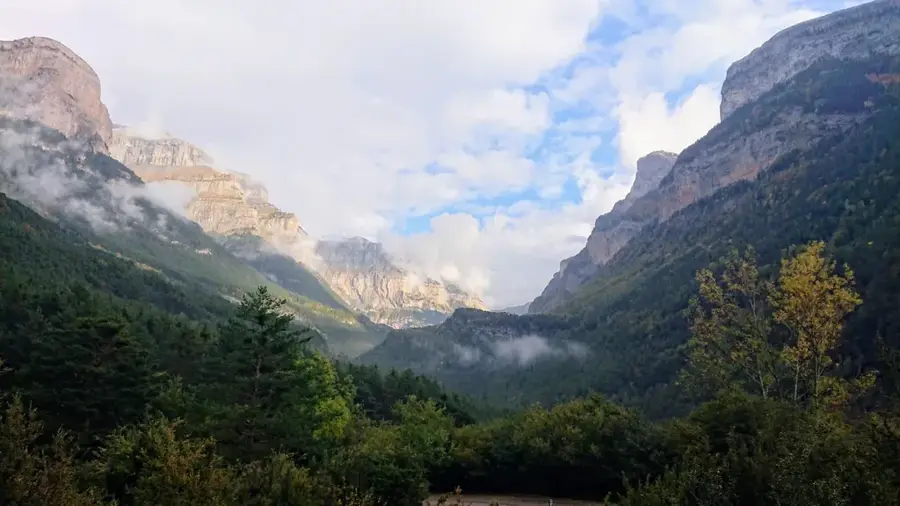
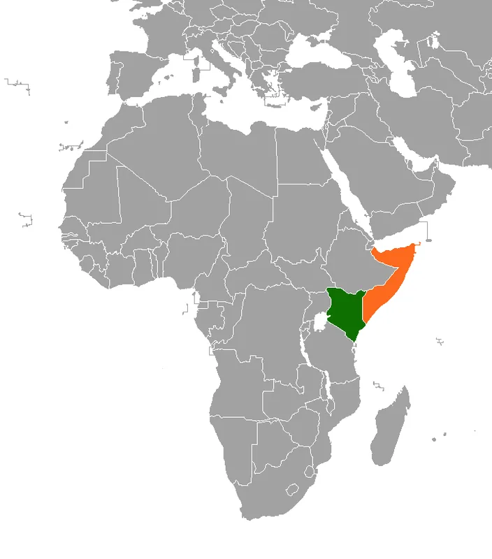
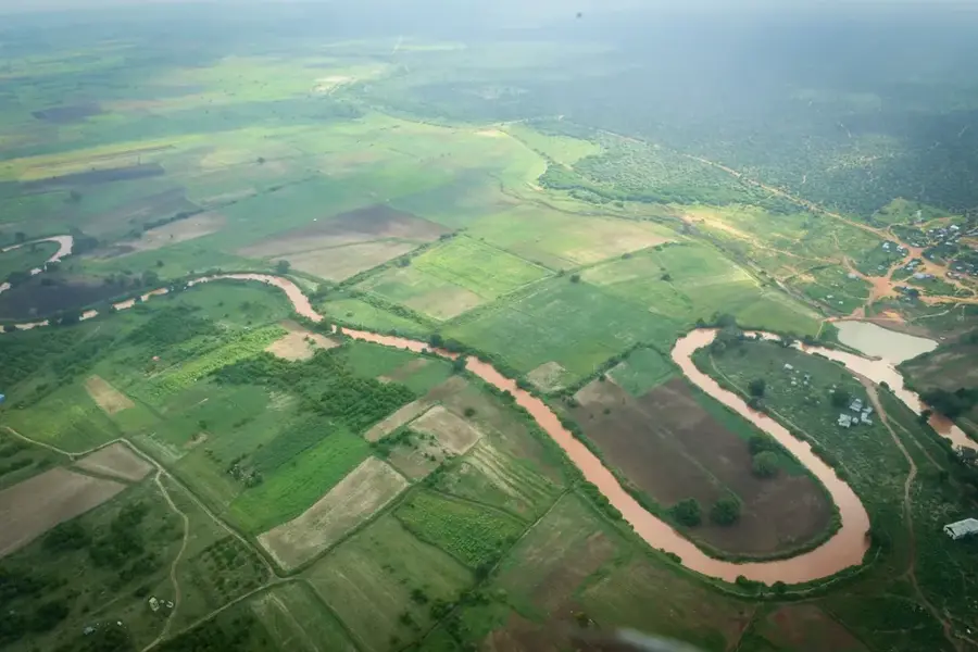
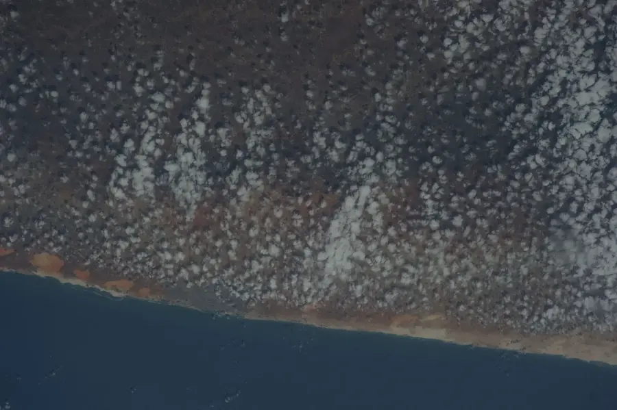
The Dadaab bushland extends along the border between Somalia and Kenya and is a classic example of the semi-arid ecosystem of the Horn of Africa. The landscape is characterized by vast plains with acacia and commiphora scrub, perfectly adapted to low rainfall and high evaporation. Ecologically, this area serves as an important corridor for wildlife, including giraffes, zebras, and various antelope species migrating between different grazing grounds. Historically and politically, the region has gained prominence due to the presence of large refugee camps, which have placed significant pressure on the area's natural resources. Local communities consist primarily of nomadic Somali pastoralists whose lifestyle is closely tied to the availability of water points and seasonal grasslands. Despite challenges from drought periods and human settlements, the bushland maintains a fascinating biological resilience. The climate is hot and dry, with sparse vegetation providing a vital source of livestock fodder and firewood.
- Location: Somalia
- Nearby: Kismayo (68 km)
Best time to visit & climate
The most pleasant time to visit is Jul–Sep.
| Jan | Feb | Mar | Apr | May | Jun | Jul | Aug | Sep | Oct | Nov | Dec | |
|---|---|---|---|---|---|---|---|---|---|---|---|---|
| Avg °C | 30 | 30 | 31 | 29 | 28 | 26 | 26 | 27 | 28 | 29 | 28 | 29 |
| Rain mm | 8 | 3 | 21 | 137 | 130 | 64 | 32 | 21 | 20 | 80 | 100 | 43 |
📋 Practical info
Geography
Facts
- Annual rainfall typically remains below 300 mm.
- Acacia tortilis is the most common tree species in the bushland.
- The area is part of the larger Somali-Masai xerophytic ecosystem.
- The soil consists predominantly of red sandy loams.
- The region is home to the rare Hirola antelope, which is critically endangered.
- Temperatures often rise above 35 degrees Celsius during the summer.
Explore nearby
Notable places around
Route planner — Car & Motorhome
Where do you start? We build the route here, with stops and country notes along the way.
© OpenStreetMap contributors · OpenRouteService
Sights nearby
Frequently asked questions
Can Dadaab Buschland be explored safely?
What clothing is best for the bushland?
Are there water sources for hikers?
Is the bushland suitable for families with children?
What animals can be seen in Dadaab bushland?
Dadaab bushland: where is it located?
Dadaab bushland: when is the best time to visit?
Dadaab bushland: why is it worth visiting?

Nearby cities


History & landmarks

Nature
More places