Plizio Visual Lab
Kambia
ℹ️Practical info — Kambia
▾
🌤 Weather — 5 days
📍 Nearby
Sights nearby
💡 Tips
- As a major border town with Guinea, currency exchange is everywhere, but always count your money carefully and know the current rate.
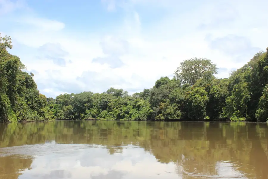
- The Kolenté River has a natural border; hiring a local canoe for a short ride is a peaceful way to see the area.
- The local border crossing can be chaotic; if you're traveling through, keep your documents organized and be prepared for delays.
- Motorbike taxis (okadas) are the easiest way to get around town, but ensure you agree on the price before hopping on.
🍽 Food
A flavorful West African classic, easily found in small restaurants near the main transport hubs.
A stew made with green leaves and palm oil, typically eaten with rice or fufu.
Being close to the river, look for local food stands grilling or frying the catch of the day.
🛍 Shopping · 🧘 Quiet spots
The market is full of interesting items brought over from Guinea, well-suited for finding unique household goods.
Buy fresh, locally produced palm oil and regional spices at the bustling daily market.
Find a spot slightly away from the main ferry crossings to enjoy the serene flow of the river.
Take a walk along the paths leading out of town to see the lush green farming areas in peace.
Water temperature…
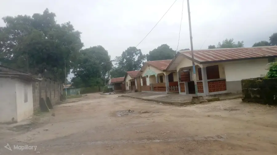
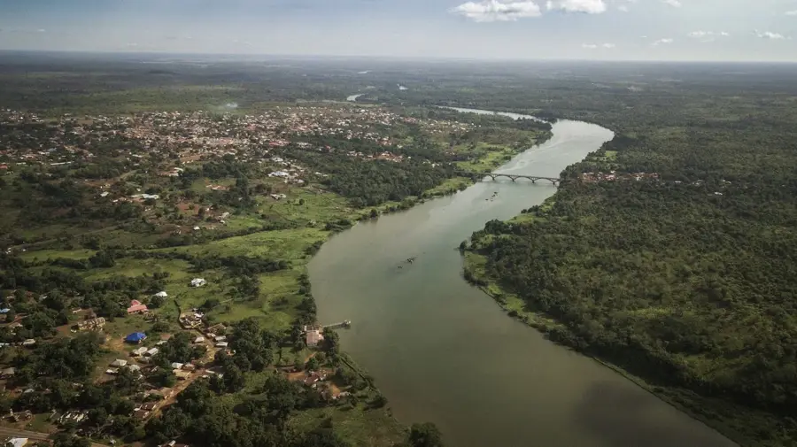
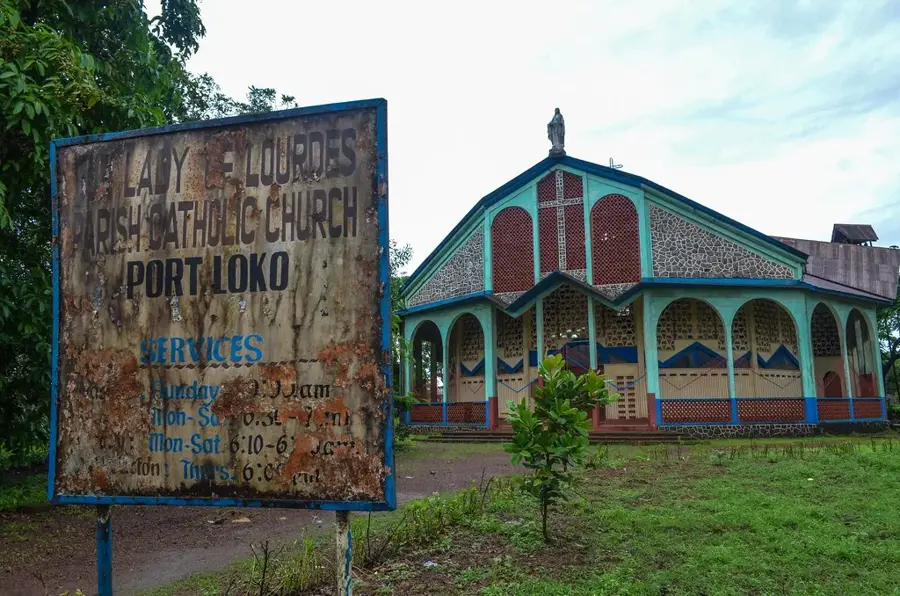
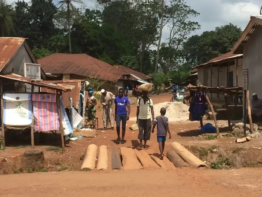
Kambia, often referred to as Kambia Town, is the headquarters of the eponymous district in Sierra Leone's Northern Province and lies on the Great Scarcies River near the border with Guinea. The town has for centuries served as the seat of Magbema chiefdom and a key node for cross-border trade among the Susu, Temne, Mandingo, and Fula. Even in pre-colonial times Kambia was a hub of caravan routes linking salt and dried fish from the mangroves with kola, iron, and livestock from the interior. During the British colonial period the town became a district commissioner's seat and a military border station. Today Kambia is an important commercial, administrative, and transport center, anchored by the main Sierra Leone-Guinea border crossing at Pamelap, which carries most of the traffic between Conakry and Freetown. The town has a government hospital, several secondary schools, a busy market, and numerous mosques, as Islam is the dominant religion of the area.
- Location: Sierra Leone
- Nearby: Rokupr (12 km)
- Population: ~11.520 (2021)
Best time to visit & climate
The most pleasant time to visit is Jan, Feb, Dec.
| Jan | Feb | Mar | Apr | May | Jun | Jul | Aug | Sep | Oct | Nov | Dec | |
|---|---|---|---|---|---|---|---|---|---|---|---|---|
| Avg °C | 27 | 28 | 29 | 29 | 28 | 27 | 26 | 25 | 26 | 26 | 27 | 26 |
| Rain mm | 0 | 3 | 2 | 23 | 124 | 378 | 705 | 808 | 410 | 178 | 65 | 3 |
Geography
Facts
- Administrative headquarters of the Kambia District.
- Located on the banks of the Great Scarcies (Kolenté) River.
- The most critical trade post on the Freetown-Conakry highway.
- A historical center for Islamic scholarship in West Africa.
- A primary hub for the production of rice and millet.
- Home to a diverse population of Temne, Susu, and Limba peoples.
Explore nearby
Notable places around
Route planner — Car & Motorhome
Where do you start? We build the route here, with stops and country notes along the way.
© OpenStreetMap contributors · OpenRouteService
Sights in the town Kambia (1)
Frequently asked questions
Why is Kambia important?
What is the charm of the city?
How is the security situation?
Are there attractions?
How is the weather there?
Kambia: where is it located?
Kambia: when is the best time to visit?
Kambia: why is it worth visiting?

Nearby cities


History & landmarks
Nature

More places