Plizio Visual Lab
Bolum Plateau

Weather…
Water temperature…
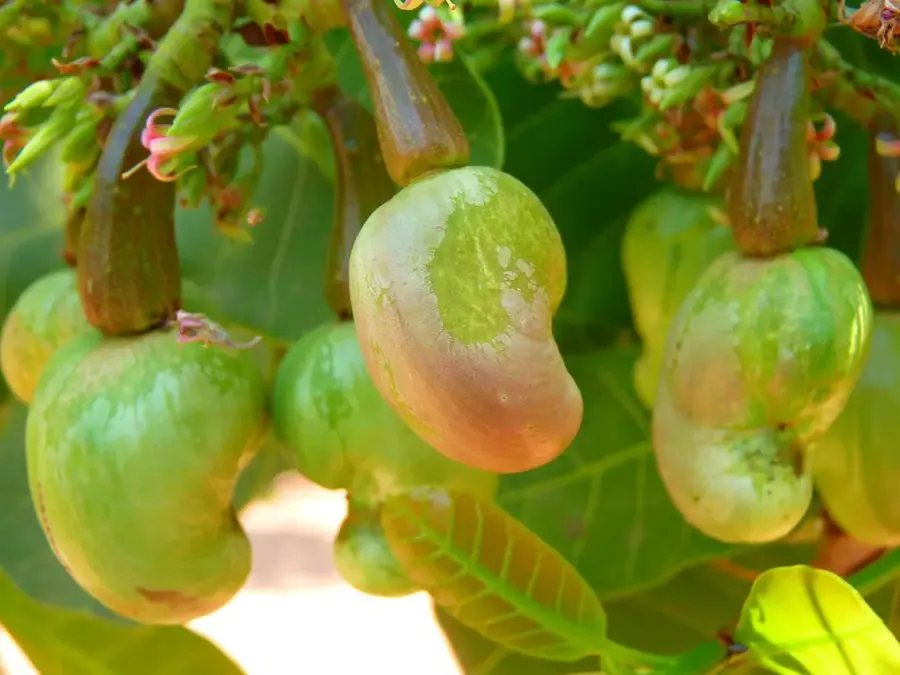
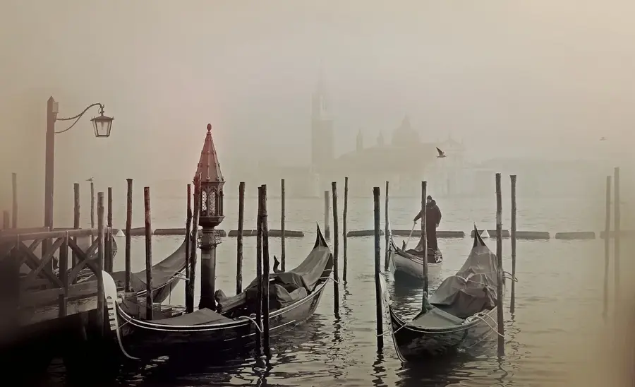
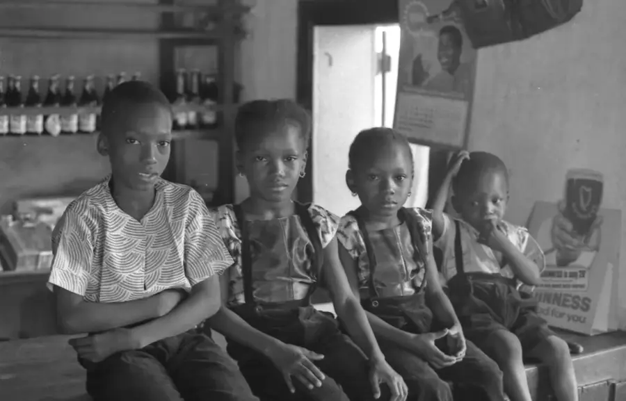
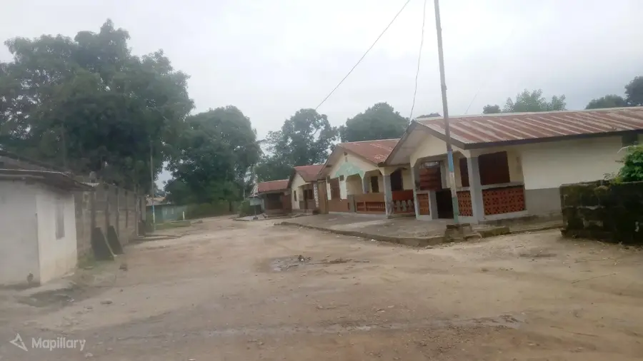
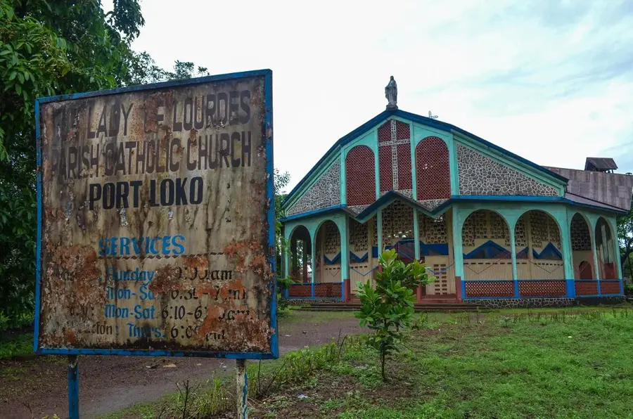
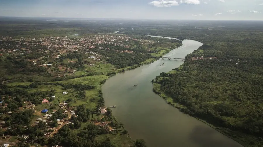
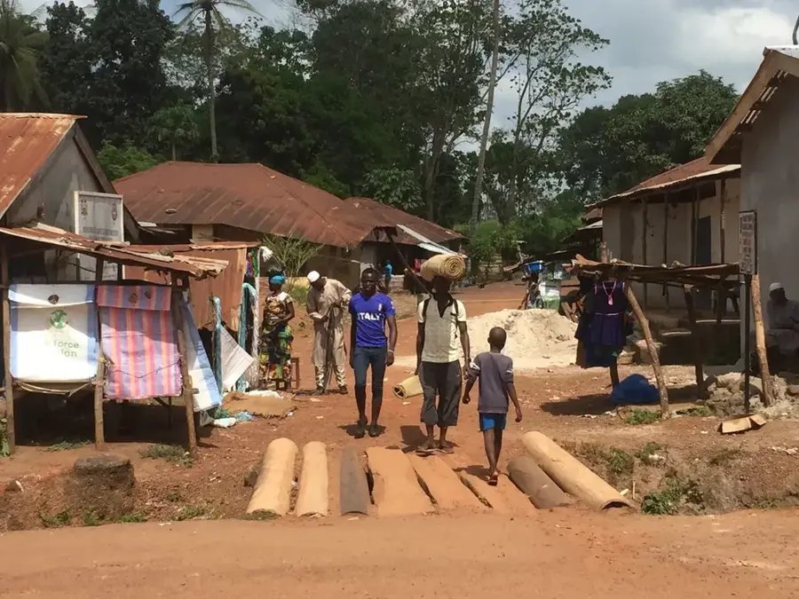
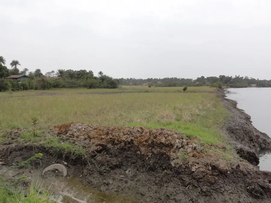
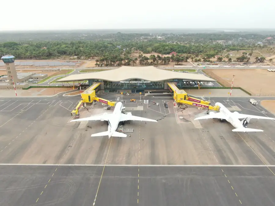
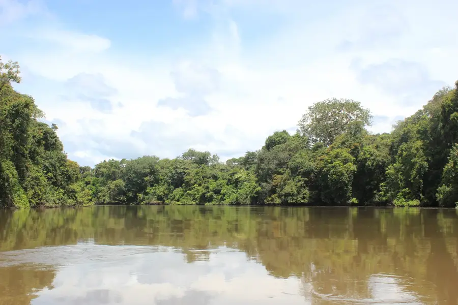
The Bolum Plateau (also known as the Bullom Plateau) stretches along the northwestern coast of Sierra Leone, situated directly across from the Freetown Peninsula. Unlike the mountainous inland regions, this plateau is a flat to gently undulating coastal terrace composed of Tertiary sediments. The region is of immense strategic importance, as it hosts the Lungi International Airport, the country's primary gateway. Geologically, the plateau is characterized by sandy soils and laterite formations, which are extensively used for cultivating coconut palms and rice. The plateau's coastline is defined by mangrove swamps and estuaries, which serve as vital ecosystems for marine biodiversity. Historically, the region was an early hub for trade and interaction between European mariners and the indigenous Bullom-Sherbro peoples.
- Location: Sierra Leone
- Nearby: Tasso Island (10 km)
Best time to visit & climate
The most pleasant time to visit is Jan, Feb, Dec.
| Jan | Feb | Mar | Apr | May | Jun | Jul | Aug | Sep | Oct | Nov | Dec | |
|---|---|---|---|---|---|---|---|---|---|---|---|---|
| Avg °C | 26 | 27 | 28 | 28 | 28 | 26 | 25 | 25 | 26 | 26 | 27 | 26 |
| Rain mm | 1 | 2 | 3 | 25 | 136 | 399 | 644 | 699 | 400 | 187 | 71 | 4 |
📋 Practical info
Geography
Facts
- The Bolum Plateau is located north of the Sierra Leone River estuary.
- Lungi International Airport is situated on this coastal plateau.
- Geologically, the area consists of Tertiary coastal sediments.
- The average elevation is only about 30 to 50 meters above sea level.
- The region is named after the indigenous Bullom ethnic group.
- Mangrove forests line the western fringes of the plateau.
Explore nearby
Notable places around
Route planner — Car & Motorhome
Where do you start? We build the route here, with stops and country notes along the way.
© OpenStreetMap contributors · OpenRouteService
Sights nearby
Frequently asked questions
Is the Bolum Plateau accessible?
What is special here?
Are there protected areas?
What is the best time?
Do you need drinking water?
Bolum Plateau: where is it located?
Bolum Plateau: when is the best time to visit?
Bolum Plateau: why is it worth visiting?

Nearby cities


History & landmarks
Nature

More places