Plizio Visual Lab
Magburaka
ℹ️Practical info — Magburaka
▾
🌤 Weather — 5 days
📍 Nearby
Sights nearby
💡 Tips
- Visit the historic Magburaka Boys' Secondary School grounds, a landmark of the town's educational heritage.
- The town is situated on the Rokel River; the bridge areas provide interesting photo opportunities.
- Magburaka is a central transport hub; use it as a base for reaching different parts of the country.
- Ask locals for guidance if you wish to hike or explore the surrounding hills.
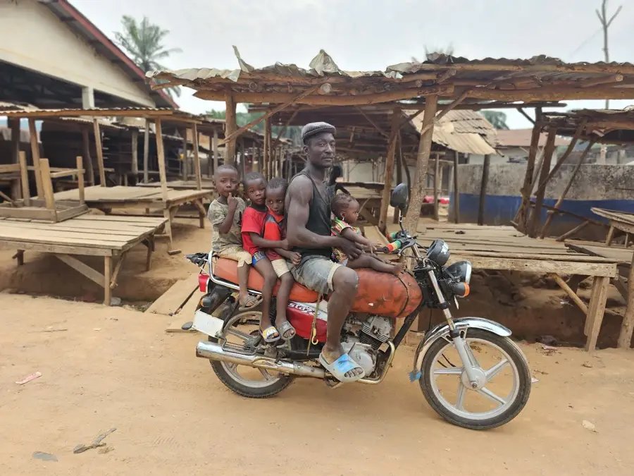
- The local culture is trade-centric; remember to negotiate politely in the markets.
🍽 Food
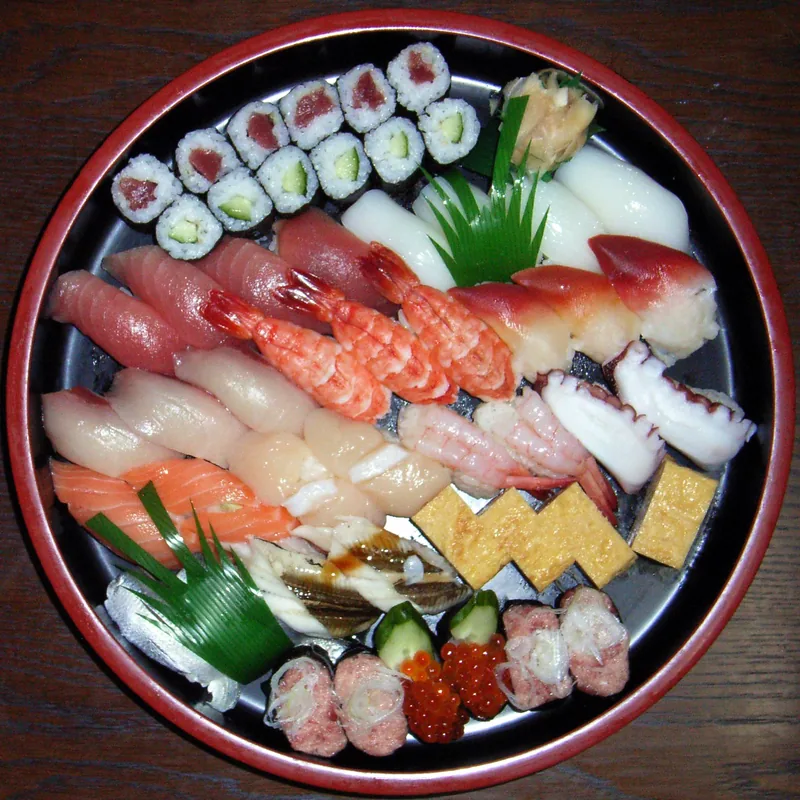
A traditional dish with a distinctive slightly bitter flavor, very popular in Magburaka.
A staple of the regional diet, commonly found at the central market.
A quick boiled or roasted snack, frequently sold near the transit hubs.
🛍 Shopping · 🧘 Quiet spots
A lively spot to buy local crafts and fresh agricultural produce.
As an educational hub, the town has many shops selling interesting local school supplies.
Find a shaded spot along the riverbank outside of the busy town center.
These paths lead into the greenery and offer an escape from the traffic noise.
Water temperature…
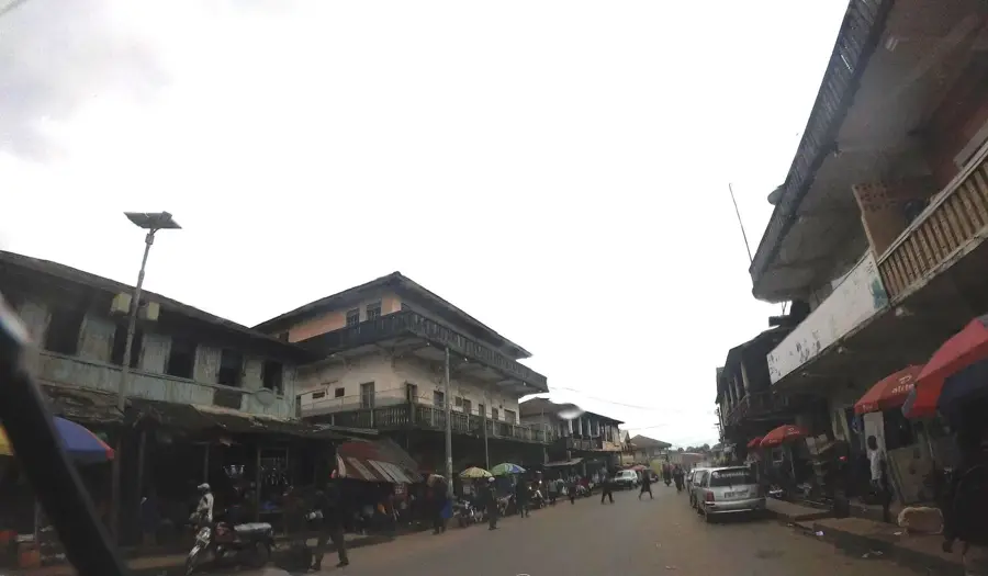
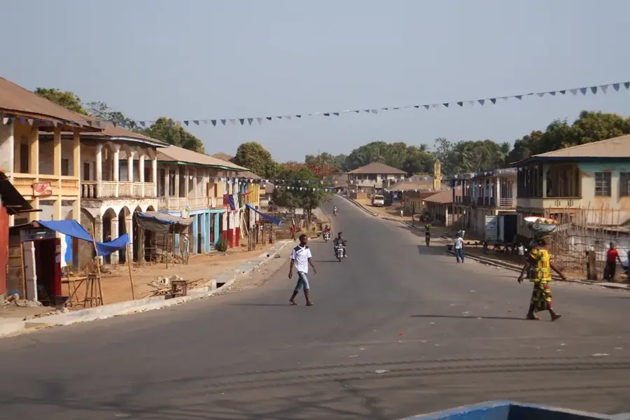
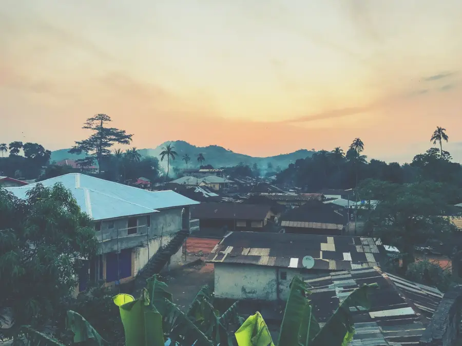
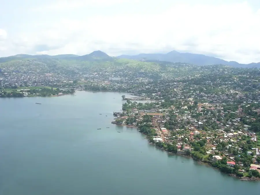
Magburaka is the headquarters of Tonkolili District in the Northern Province and lies on the bank of the Rokel River, about 200 kilometers east of Freetown. For decades the town was a key station on the historic Sierra Leone Railway, built from 1898 from Cline Town in Freetown to Pendembu in the east, with a branch line to Magburaka completed in 1914. This narrow-gauge railway brought palm oil, groundnuts, and tobacco from the interior to the port and made Magburaka a trading center for the Temne and Mandingo of the region. After the line was closed in 1974, the town lost part of its transport weight but kept its role as district headquarters, market town, and educational hub, hosting the Magburaka Government Secondary School and a campus of Eastern Polytechnic. Since the nearby Tonkolili iron-ore mine came online in the 2010s, Magburaka has again become an important logistics base for mining, with upgraded road connections to Makeni, Bumbuna, and Kabala.
- Location: Sierra Leone
- Nearby: Masingbi (14 km)
- Population: ~14.915 (2015)
Best time to visit & climate
The most pleasant time to visit is Jan, Feb, Dec.
| Jan | Feb | Mar | Apr | May | Jun | Jul | Aug | Sep | Oct | Nov | Dec | |
|---|---|---|---|---|---|---|---|---|---|---|---|---|
| Avg °C | 27 | 29 | 30 | 30 | 28 | 26 | 25 | 24 | 25 | 26 | 26 | 26 |
| Rain mm | 1 | 5 | 12 | 33 | 115 | 324 | 451 | 521 | 350 | 166 | 54 | 5 |
Geography
Facts
- Administrative capital of the Tonkolili District
- Located on the banks of the Rokel River, the country's longest
- Former terminal station of the Sierra Leone Government Railway
- Home to the prestigious Magburaka Government Secondary School for Boys
- Major market for agricultural products from central Sierra Leone
- Population of approximately 40,000 (2015 census)
Explore nearby
Notable places around
Route planner — Car & Motorhome
Where do you start? We build the route here, with stops and country notes along the way.
© OpenStreetMap contributors · OpenRouteService
Sights in the town Magburaka (1)
Frequently asked questions
What is the atmosphere like in Magburaka?
Are there accommodations for tourists?
When is the best time to visit?
Is the city easy to reach?
What is typical for the area?
Magburaka: where is it located?
Magburaka: when is the best time to visit?
Magburaka: why is it worth visiting?

Nearby cities
History & landmarks
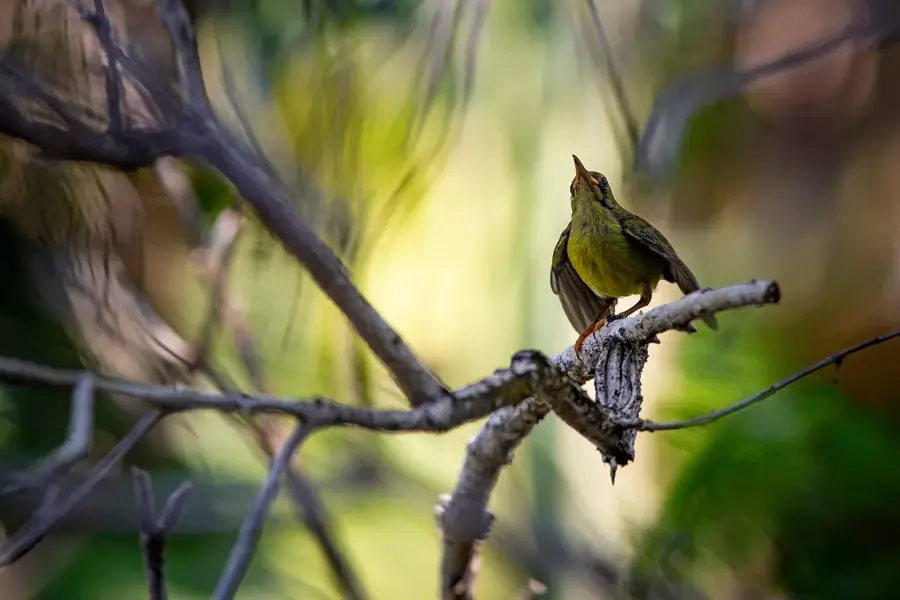
Nature
More places