Plizio Visual Lab
Tambacounda Forest

Weather…
Water temperature…
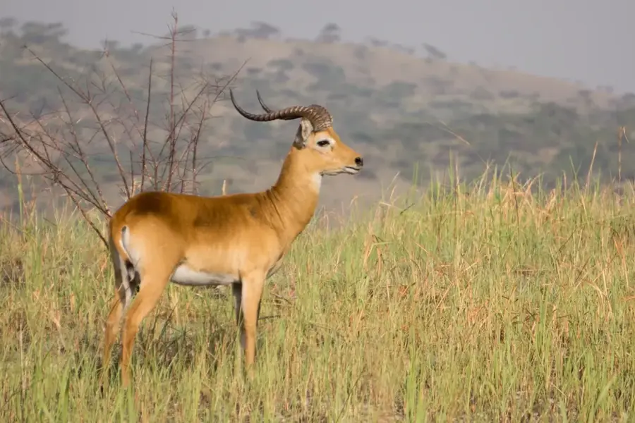
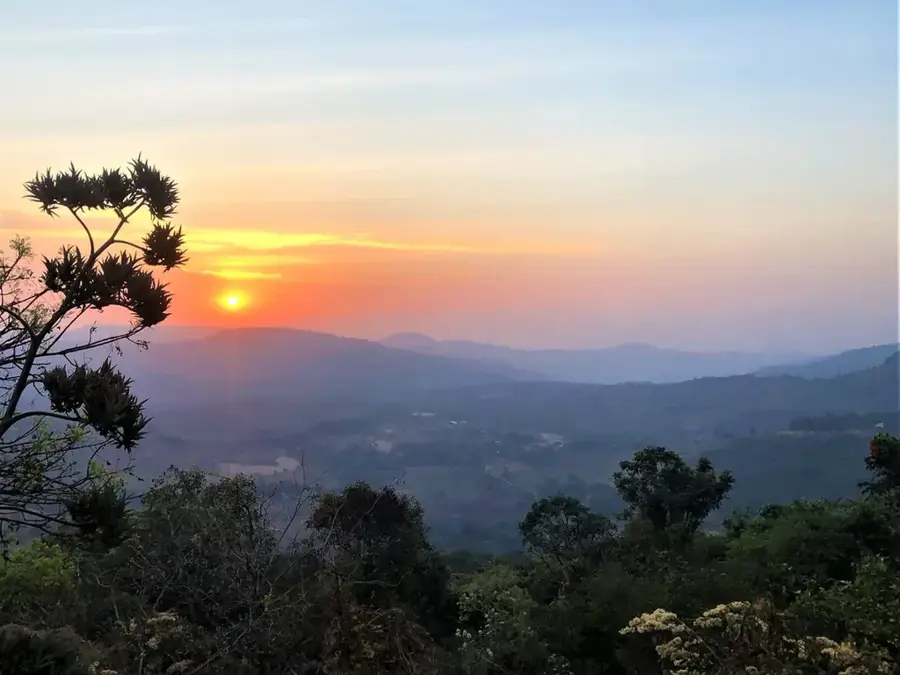
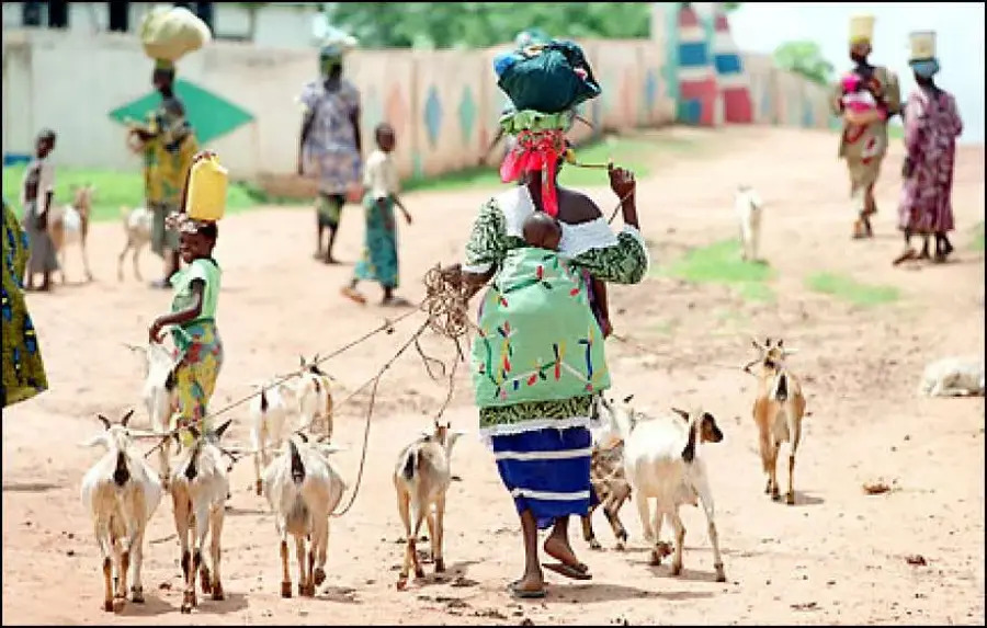
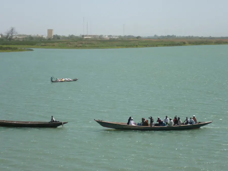
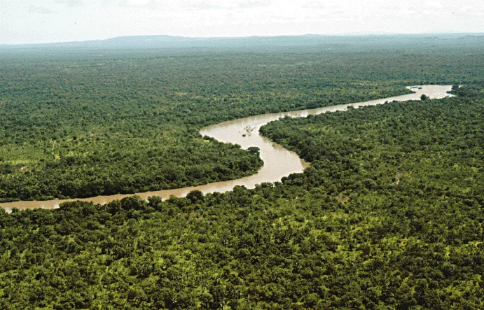
The Tambacounda Forest in eastern Senegal is one of the country's largest contiguous forested areas, belonging to the Sudano-Sahelian vegetation zone. The landscape is characterized by a mix of dry woodland and savanna, dominated by majestic baobabs and valuable tree species such as African rosewood (Pterocarpus erinaceus). This ecosystem is a critical sanctuary for large mammals, including antelopes, warthogs, and occasionally predators like hyenas. The forest plays a central role in regulating the local climate and serves as a natural shield against desertification in a region with extremely high summer temperatures. For local communities, the forest is an important source of non-timber forest products such as honey, medicinal plants, and wild fruits. Conservation initiatives aim to reduce pressure from charcoal production and uncontrolled bushfires to preserve biological diversity. The forest partially borders the Niokolo-Koba National Park, forming an essential ecological corridor for migrating wildlife.
Best time to visit & climate
The most pleasant time to visit is Jan, Nov, Dec.
| Jan | Feb | Mar | Apr | May | Jun | Jul | Aug | Sep | Oct | Nov | Dec | |
|---|---|---|---|---|---|---|---|---|---|---|---|---|
| Avg °C | 26 | 28 | 31 | 34 | 35 | 33 | 29 | 28 | 27 | 28 | 27 | 25 |
| Rain mm | 1 | 0 | 1 | 0 | 6 | 63 | 131 | 223 | 177 | 52 | 2 | 0 |
📋 Practical info
Geography
Facts
- Location: Tambacounda region, eastern Senegal.
- Vegetation type: Sudano-Sahelian dry forest.
- Iconic tree: African Baobab.
- Target species: Pterocarpus erinaceus (rosewood).
- Climate: Extremely high dry-season temperatures.
- Conservation: Corridor to Niokolo-Koba National Park.
Explore nearby
Notable places around
Route planner — Car & Motorhome
Where do you start? We build the route here, with stops and country notes along the way.
© OpenStreetMap contributors · OpenRouteService
Sights nearby
Frequently asked questions
Can you hike there?
Is the Tambacounda forest safe?
Best time to visit?
Is there infrastructure?
Do I need to bring water?
Tambacounda Forest: where is it located?
Tambacounda Forest: when is the best time to visit?
Tambacounda Forest: why is it worth visiting?

Nearby cities
Nature
More places