Plizio Visual Lab
Gambia River (Senegal section)
Weather…
Water temperature…
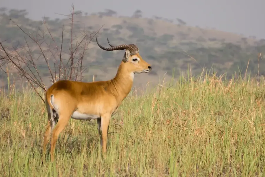
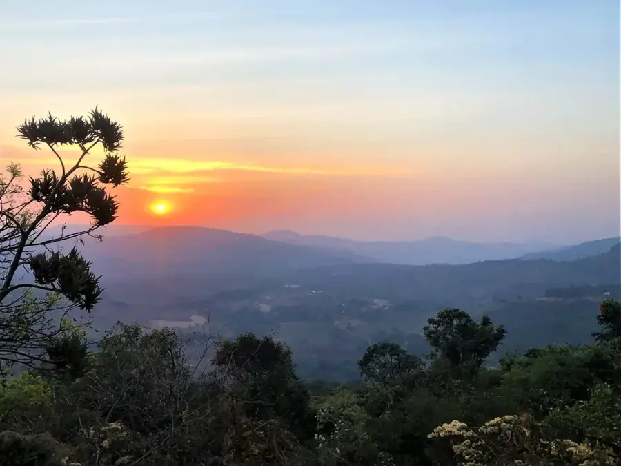
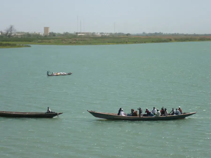
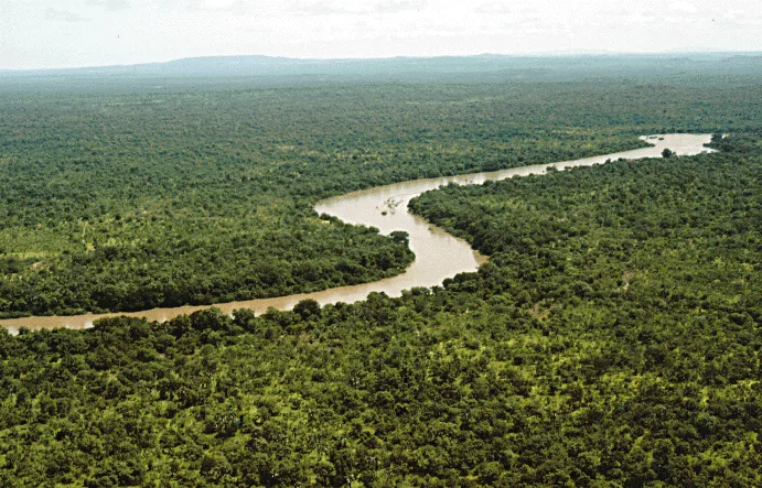
The Gambia River is one of the most significant waterways in West Africa, originating in the Fouta Djallon highlands of Guinea. Its Senegalese section passes through the southeastern part of the country, specifically through Niokolo-Koba National Park, where it serves as a central lifeline for wildlife. With a total length of approximately 1,120 kilometers, it flows westward and traverses the neighboring country of Gambia before emptying into the Atlantic Ocean. The river is renowned for its large hippopotamus colonies and crocodiles inhabiting its deeper sections. Its banks are lined with dense gallery forests and wetlands, hosting high levels of biodiversity. For the local population, the river has been a vital transport route and a source of fishing for centuries. Historically, the Gambia River played a strategic role in accessing the interior during the colonial era and was a major route for the trade of gold and ivory.
Best time to visit & climate
The most pleasant time to visit is Jan, Nov, Dec.
| Jan | Feb | Mar | Apr | May | Jun | Jul | Aug | Sep | Oct | Nov | Dec | |
|---|---|---|---|---|---|---|---|---|---|---|---|---|
| Avg °C | 25 | 28 | 31 | 34 | 34 | 32 | 28 | 27 | 27 | 28 | 26 | 25 |
| Rain mm | 0 | 0 | 1 | 1 | 11 | 92 | 170 | 268 | 212 | 64 | 3 | 0 |
📋 Practical info
Geography
Facts
- The total length of the river is approximately 1,120 kilometers.
- It originates in the Fouta Djallon highlands in Guinea.
- The river hosts one of the highest densities of hippos in Africa.
- It flows through the Niokolo-Koba National Park in Senegal.
- The mouth at the Atlantic can reach up to 10 kilometers in width.
- Historically, the river was a major route for the gold trade.
Explore nearby
Notable places around
Route planner — Car & Motorhome
Where do you start? We build the route here, with stops and country notes along the way.
© OpenStreetMap contributors · OpenRouteService
Sights nearby
Frequently asked questions
Is swimming allowed?
What activities are there?
Are there parking spaces?
When is the best time to visit?
Is insect repellent important?
Gambia River (Senegal section): where is it located?
Gambia River (Senegal section): when is the best time to visit?
Gambia River (Senegal section): why is it worth visiting?

Nearby cities
Nature
More places