Plizio Visual Lab
Koina
ℹ️Practical info — Koina
▾
🌤 Weather — 5 days
📍 Nearby
Sights nearby
💡 Tips
- As a remote village in the far east of the country, ensure you bring sufficient cash as ATMs are non-existent.
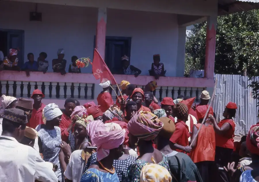
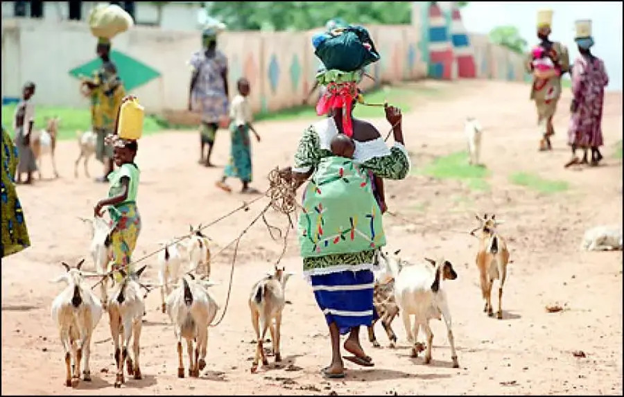
- The village is culturally rich with Sarahule traditions; always ask for permission before photographing people or their compounds.
- Travel here involves long drives on dirt roads; if available, consider boat travel along the Gambia River for a scenic alternative.
- Malaria is a risk in this riverine area; ensure you have mosquito repellent and sleep under an intact net.
🍽 Food
A savory peanut stew often served with rice, a Gambian classic prepared in local households.
Also known as Jollof rice, a flavorful one-pot dish you might find at local food stalls.
Locally caught fish from the Gambia River, usually grilled or smoked by the villagers.
🛍 Shopping · 🧘 Quiet spots
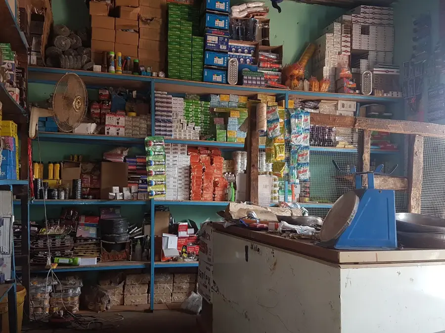
Small stalls where you can buy fresh vegetables, dried fish, and basic provisions.
You might occasionally find handmade pottery or textiles produced by the local Sarahule community.
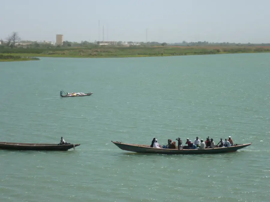
The riverbank has tranquil views and a peaceful chance to watch local fishermen in their wooden pirogues.
Walking around the traditional compounds in the early morning provides a very quiet and authentic experience.
Water temperature…
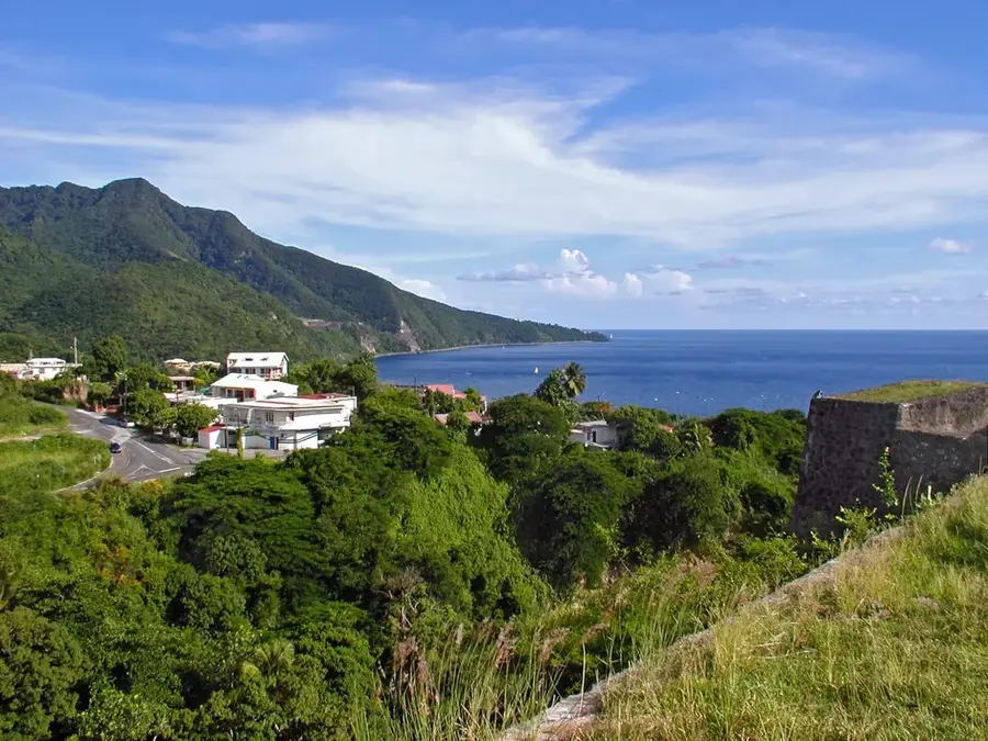
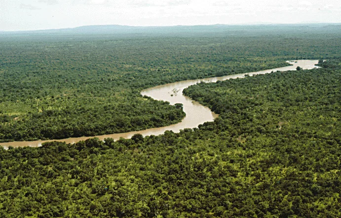
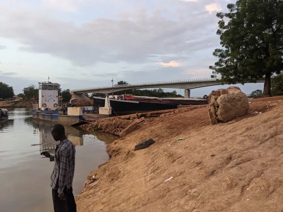
Koina is the easternmost point of The Gambia, located in the Kantora District of the Upper River Region. Due to its geographic location on the border with Senegal, the settlement functions as a vital gateway for the cross-border movement of people and goods. Koina sits on the banks of the Gambia River and marks the end of navigability for larger vessels arriving from the Atlantic coast. Life in Koina is heavily defined by agriculture and trade, with residents primarily cultivating groundnuts and cereal crops. The ethnic diversity, led by the Soninke people, contributes to a rich cultural atmosphere kept animated through traditional festivals and customs. As a border town, Koina is a melting pot of various influences and a strategic point for state institutions such as customs and border police. Its distance from the coastal urban centers has allowed Koina to preserve a highly authentic and traditional character, representing the frontier spirit of the nation.
- Location: Gambia
- Nearby: Garowol (16 km)
- Population: ~7.462 (2023)
Best time to visit & climate
The most pleasant time to visit is Jan, Nov, Dec.
| Jan | Feb | Mar | Apr | May | Jun | Jul | Aug | Sep | Oct | Nov | Dec | |
|---|---|---|---|---|---|---|---|---|---|---|---|---|
| Avg °C | 25 | 28 | 31 | 34 | 34 | 32 | 28 | 27 | 27 | 28 | 26 | 25 |
| Rain mm | 0 | 0 | 1 | 1 | 11 | 92 | 170 | 268 | 212 | 64 | 3 | 0 |
Geography
Facts
- Koina is the easternmost settlement in the Republic of The Gambia.
- The town serves as a major border crossing point into Senegal.
- It is located in the Kantora District, at the end of the north bank road.
- The Gambia River remains navigable for shallow boats up to this point.
- The population primarily belongs to the Sarahule ethnic group.
- The town is a regional center for the trade of agricultural commodities.
Explore nearby
Notable places around
Route planner — Car & Motorhome
Where do you start? We build the route here, with stops and country notes along the way.
© OpenStreetMap contributors · OpenRouteService
Frequently asked questions
What is special about Koina?
How long does the journey from Banjul to Koina take?
Is there a border crossing in Koina?
What language is spoken in Koina?
Is there accommodation for tourists?
Koina: where is it located?
Koina: when is the best time to visit?
Koina: why is it worth visiting?

Nearby cities
Nature
More places