Plizio Visual Lab
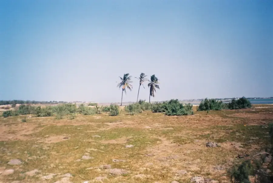
Senegal River
Weather…
Water temperature…
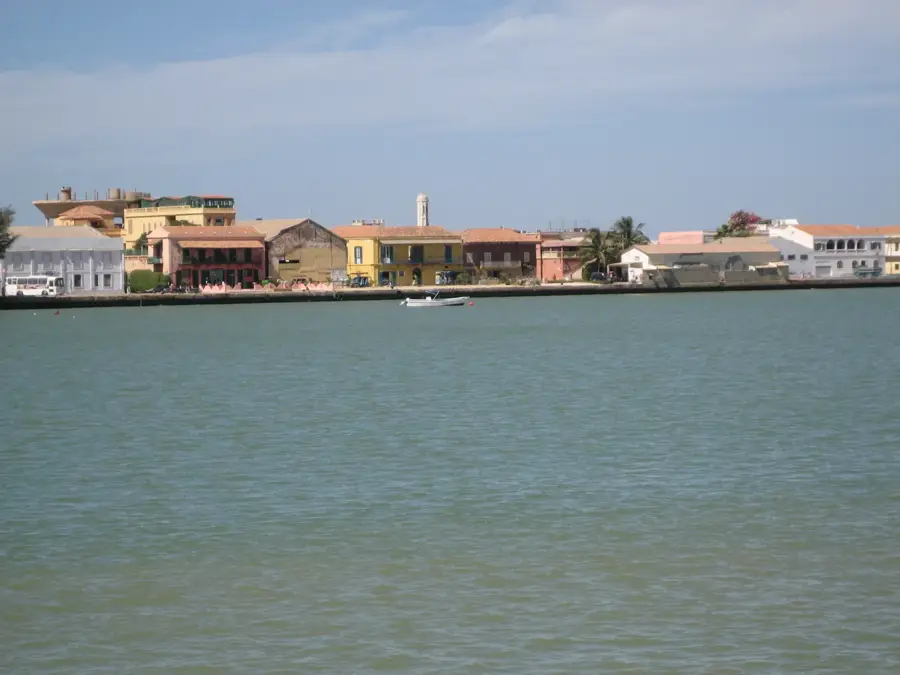
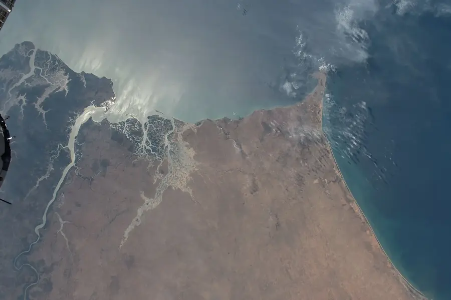
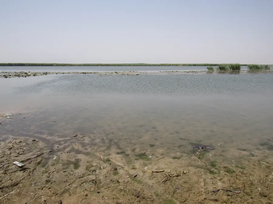
The Senegal River, with a length of approximately 1,790 kilometers, is one of West Africa's most significant waterways, forming the natural border between Senegal and Mauritania. It originates in the Fouta-Djallon highlands of Guinea and flows through Mali before emptying into the Atlantic near Saint-Louis. The river is vital for agriculture, especially rice and sugarcane cultivation, as well as for energy production through the Manantali Dam. The river delta hosts unique ecosystems such as the Djoudj National Bird Sanctuary, one of the world's most important avian refuges. Its transboundary management by the Organisation pour la Mise en Valeur du Fleuve Sénégal (OMVS) is considered an international model for the peaceful use of shared water resources.
- Location: Senegal
- Nearby: Lompoul Desert (41 km)
Best time to visit & climate
The most pleasant time to visit is Jan, Feb, Dec.
| Jan | Feb | Mar | Apr | May | Jun | Jul | Aug | Sep | Oct | Nov | Dec | |
|---|---|---|---|---|---|---|---|---|---|---|---|---|
| Avg °C | 22 | 23 | 25 | 25 | 27 | 28 | 29 | 29 | 29 | 29 | 27 | 24 |
| Rain mm | 3 | 9 | 38 | 2 | 0 | 10 | 65 | 123 | 109 | 20 | 1 | 0 |
📋 Practical info
Geography
Facts
- Total length of 1,790 km makes it the second longest river in West Africa.
- The Diama Dam prevents saltwater intrusion into the delta.
- Primary water source for irrigation within the Sahel region.
- Formed by the confluence of the Bafing and Bakoyé rivers.
- Has served as a major trade route for gold and gum arabic for centuries.
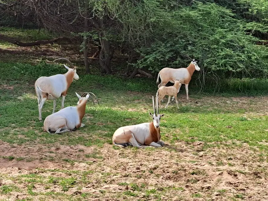
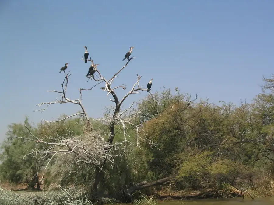
- UNESCO Biosphere Reserve in the delta protects over 3 million birds.
Explore nearby
Notable places around
Route planner — Car & Motorhome
Where do you start? We build the route here, with stops and country notes along the way.
© OpenStreetMap contributors · OpenRouteService
Sights nearby
Frequently asked questions
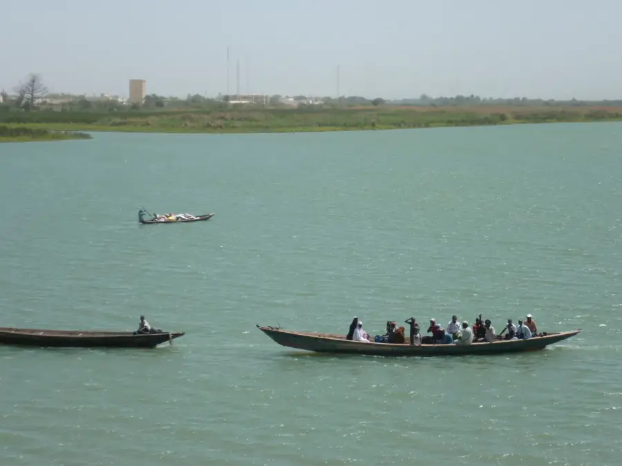
Can one go boating on the river?
When is the best time to travel?
Are there crocodiles in the river?
Is a permit needed for fishing?
What is the best time of day?
Senegal River: where is it located?
Senegal River: when is the best time to visit?
Senegal River: why is it worth visiting?

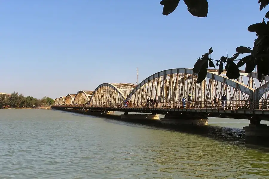
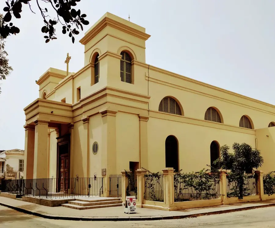
History & landmarks
Nature

More places