Plizio Visual Lab
Lac de Guiers
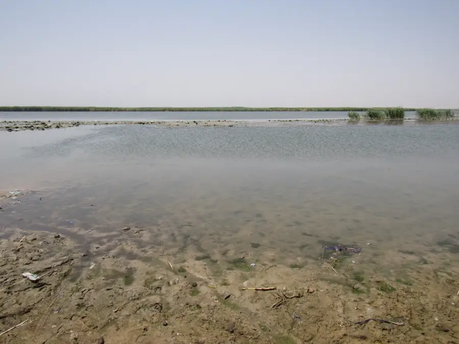
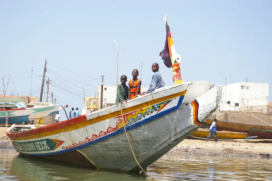
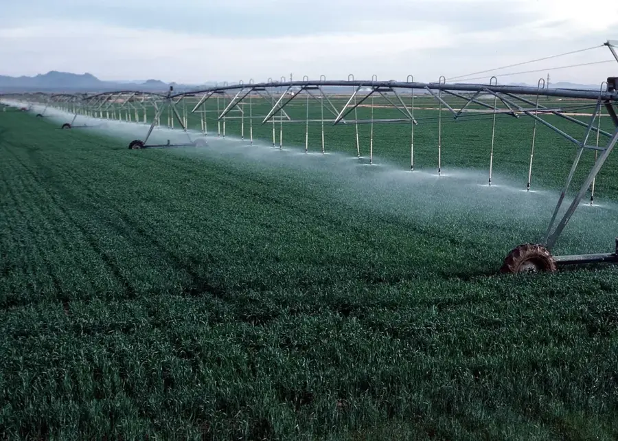
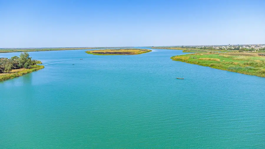
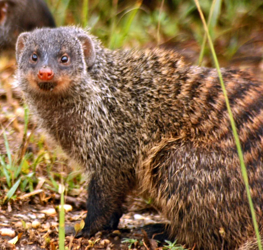
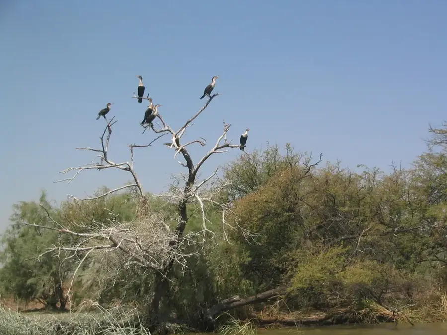
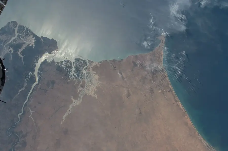
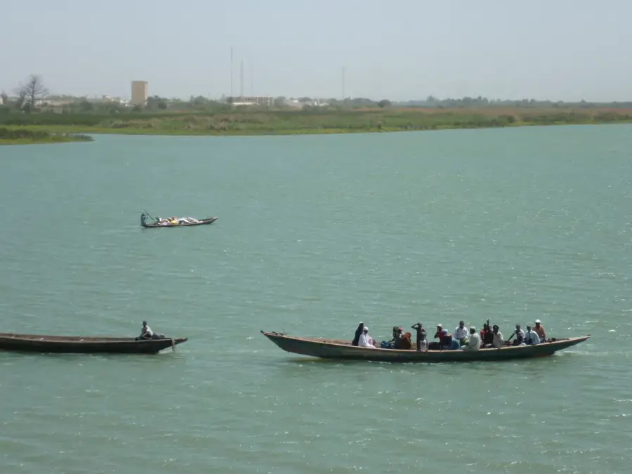
Lac de Guiers is the largest freshwater reservoir in Senegal, located in the northern Louga Region. It extends over a length of approximately 35 kilometers and is primarily fed by a channel from the Senegal River. The lake plays an existential role in the water supply of the capital city, Dakar, as a significant portion of its drinking water is transported there through pipelines spanning many kilometers. The surrounding area is characterized by agricultural land, where large quantities of sugarcane are cultivated for national production. Water quality and levels are strictly monitored through the Keur-Momar-Sarr system to ensure supply security. Despite its intensive industrial use, the lake provides habitat for numerous fish species and serves as a refuge for waterbirds within the otherwise arid Sahel region. In recent decades, efforts have been intensified to combat siltation and the overgrowth of invasive aquatic plants.
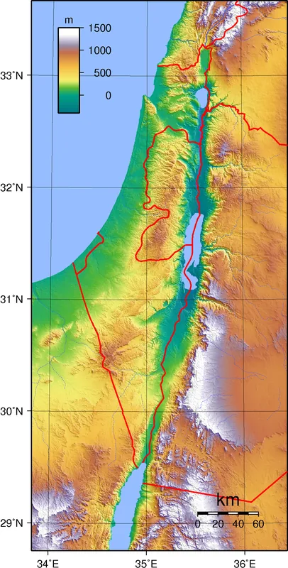
- Location: Senegal
- Nearby: Djoudj National Bird Park (53 km)
Best time to visit & climate
The most pleasant time to visit is Jan, Feb, Dec.
| Jan | Feb | Mar | Apr | May | Jun | Jul | Aug | Sep | Oct | Nov | Dec | |
|---|---|---|---|---|---|---|---|---|---|---|---|---|
| Avg °C | 22 | 23 | 25 | 25 | 27 | 28 | 29 | 29 | 29 | 29 | 27 | 24 |
| Rain mm | 3 | 9 | 38 | 2 | 0 | 10 | 65 | 123 | 109 | 20 | 1 | 0 |
📋 Practical info
Geography
Facts
- The lake has an average length of approximately 35 kilometers.
- It supplies over 50% of the drinking water for the capital, Dakar.
- The maximum depth of the water is only about 4 to 5 meters.
- Vast sugarcane plantations surround the shores of the lake.
- It is connected to the Senegal River via the Taoué Channel.
- The lake sits in a depression about 2 meters below sea level.
Explore nearby
Notable places around
Route planner — Car & Motorhome
Where do you start? We build the route here, with stops and country notes along the way.
© OpenStreetMap contributors · OpenRouteService
Sights nearby
Frequently asked questions
Can one fish here?
Are there water sports?
How is the access?
When is it most beautiful?
Are there restaurants?
Lac de Guiers: where is it located?
Lac de Guiers: when is the best time to visit?
Lac de Guiers: why is it worth visiting?

History & landmarks
Nature

More places