Plizio Visual Lab
Trotuș River
Weather…
Water temperature…
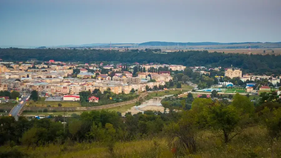
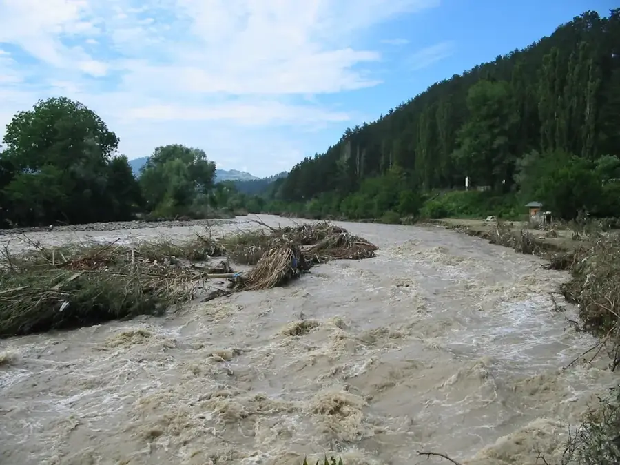
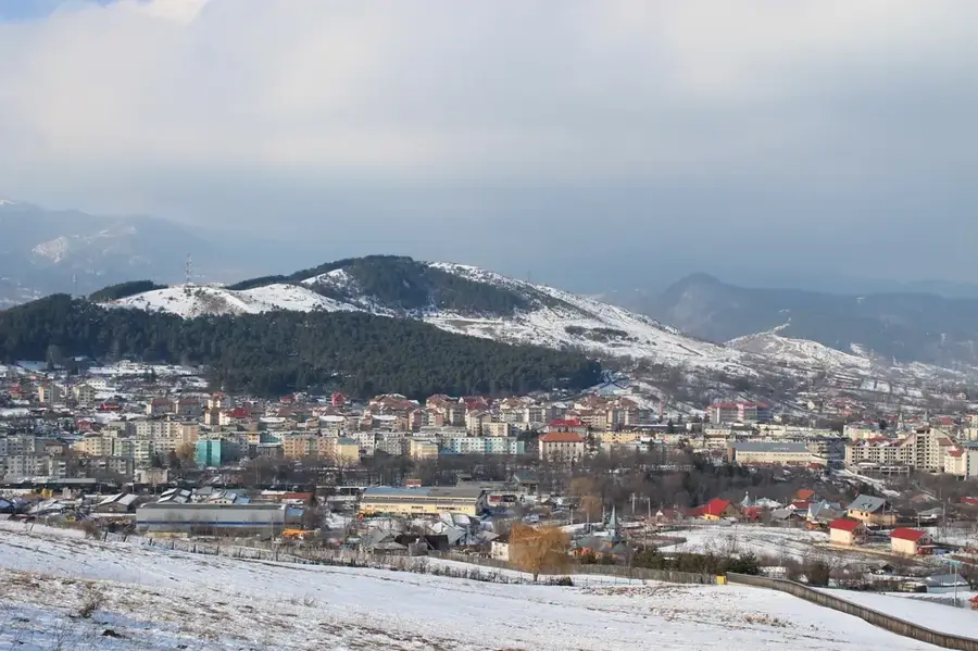
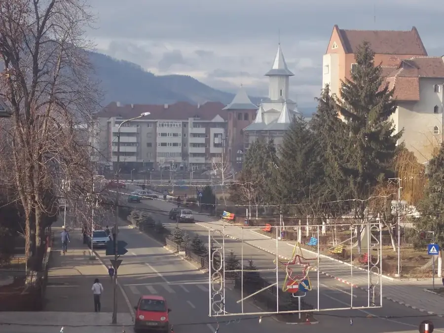
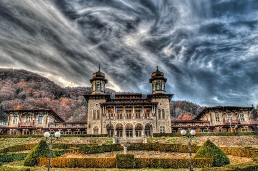
The Trotuș River is a significant waterway in eastern Romania, carving a distinctive valley through the Eastern Carpathians and the Subcarpathian hills. It flows through a region rich in history and mineral wealth, notably salt and oil, which have shaped the development of cities like Onești and Comănești along its banks. The Trotuș Valley is an important natural corridor between Transylvania and Moldova, featuring several strategic mountain passes such as the Ghimeș-Palanca pass. The river is known for its fluctuating discharge, which can lead to impressive floods during spring thaws. Along its course, the Trotuș creates a diverse landscape of rocky defiles and wide, fertile terraces. The valley is also a cultural crossroads, where traditional Moldavian customs blend with influences from the neighboring Szeklerland, making the Trotuș more than just a river, but a vital cultural and economic link for the region.
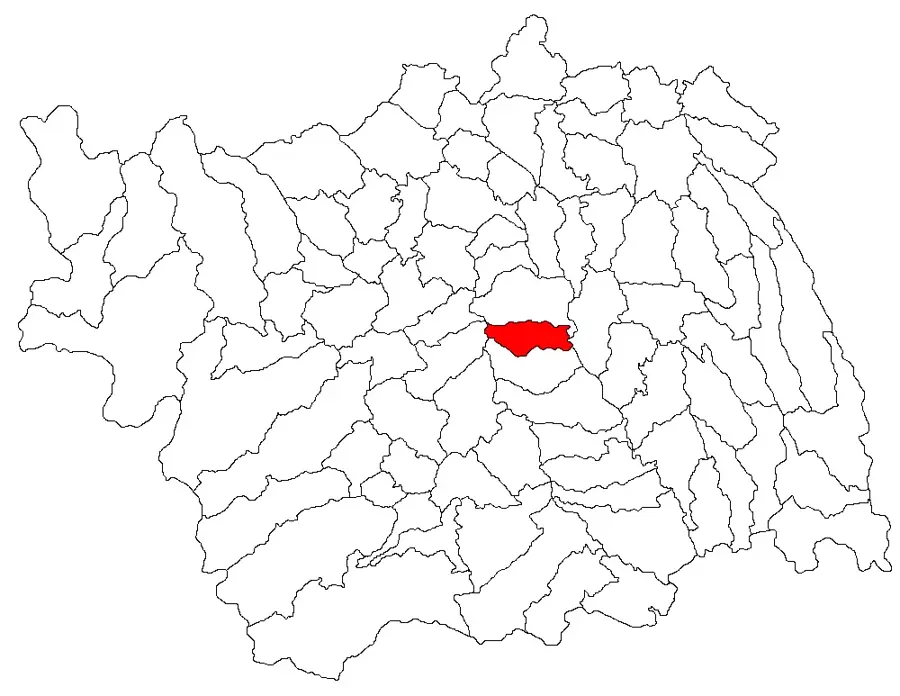
- Location: Bacău, Romania
- Nearby: Onești (5 km)
Best time to visit & climate
The most pleasant time to visit is Jul–Sep.
| Jan | Feb | Mar | Apr | May | Jun | Jul | Aug | Sep | Oct | Nov | Dec | |
|---|---|---|---|---|---|---|---|---|---|---|---|---|
| Avg °C | -5 | -4 | 1 | 7 | 13 | 17 | 19 | 19 | 13 | 8 | 2 | -3 |
| Rain mm | 30 | 31 | 39 | 53 | 83 | 113 | 96 | 69 | 51 | 54 | 34 | 35 |
📋 Practical info
Geography
Facts
- Originates in the Ciuc Mountains at an altitude of approximately 1,100 meters.
- The Trotuș River has a total length of about 162 kilometers.
- Joins the Siret River near the city of Adjud after crossing Bacău County.
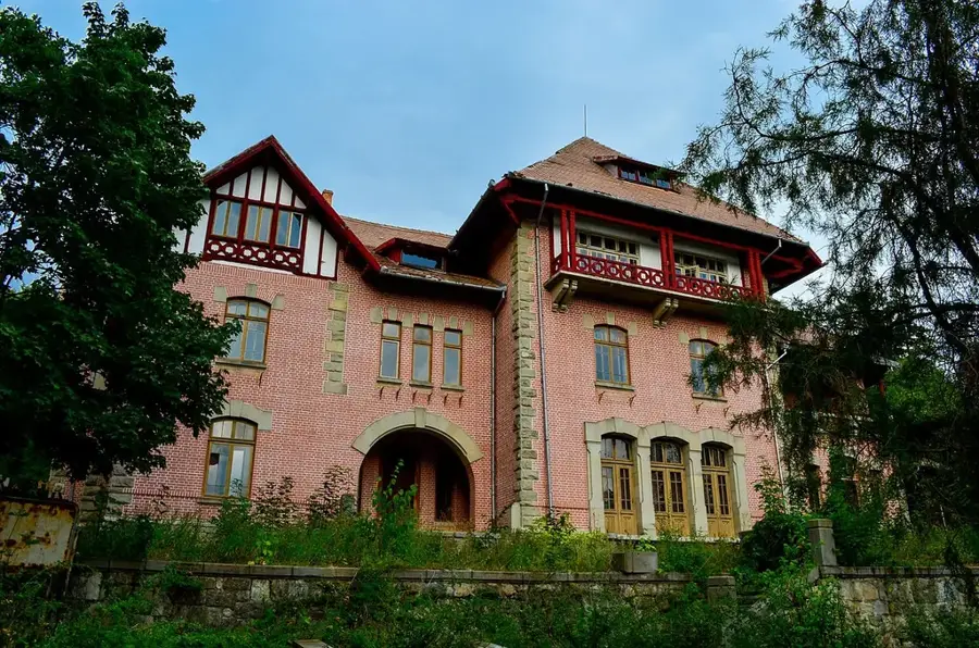
- The valley is one of the oldest and most important salt mining regions in Romania.
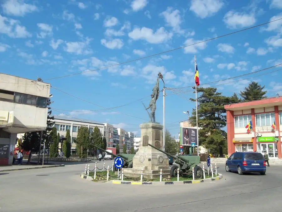
- Strategic gateway during both World Wars, with many historical monuments nearby.
- The Ghimeș Gorges offer some of the most dramatic landscapes along its upper course.
- Supports several small-scale hydroelectric plants and irrigation systems.
- Important habitat for the common barbel and other riverine fish species.
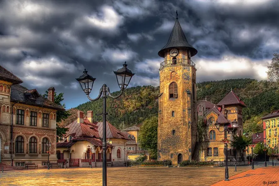
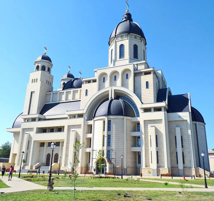
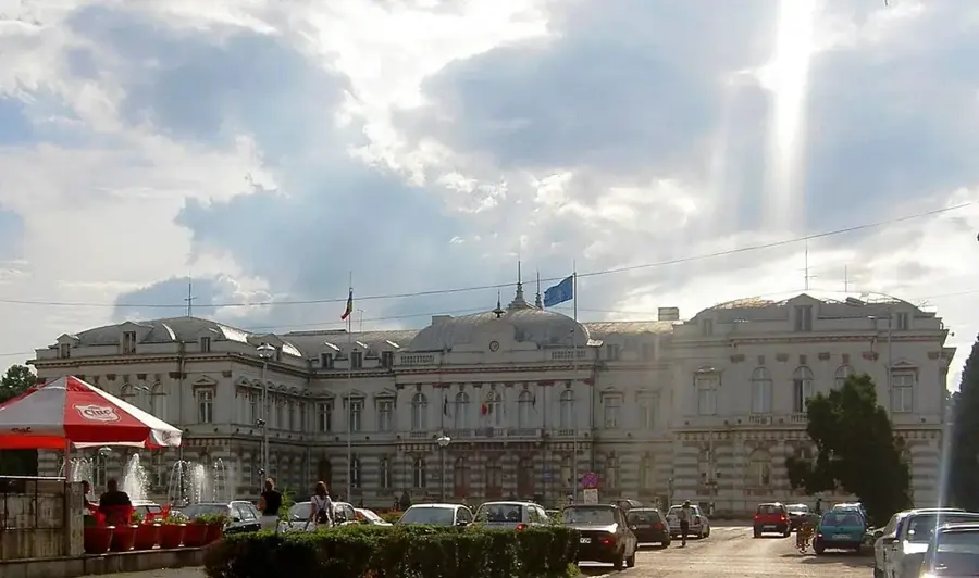
Explore nearby
Notable places around
Route planner — Car & Motorhome
Where do you start? We build the route here, with stops and country notes along the way.
© OpenStreetMap contributors · OpenRouteService
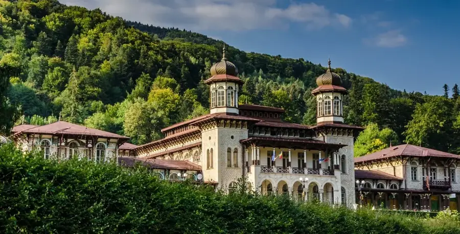
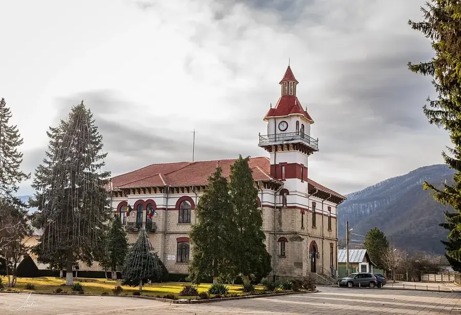
Sights in the town Trotuș River (1)
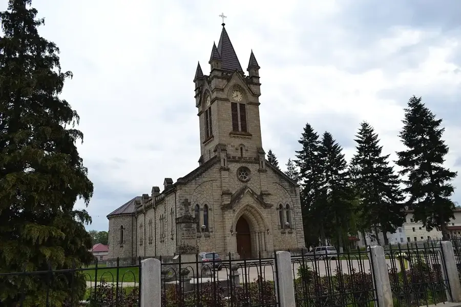
Sights nearby
Frequently asked questions
Where is the Trotuș Valley located?
Which important towns are located on the Trotuș?
Are there tourist attractions near the river?
What is the landscape like along the Trotuș River?
What recreational activities are possible there?
Trotuș River: where is it located?
Trotuș River: when is the best time to visit?
Trotuș River: why is it worth visiting?

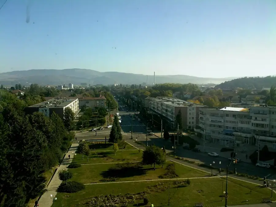
Nearby cities
History & landmarks

More places