Plizio Visual Lab
Punta Burica
Weather…
Water temperature…
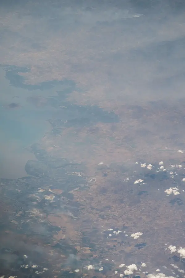
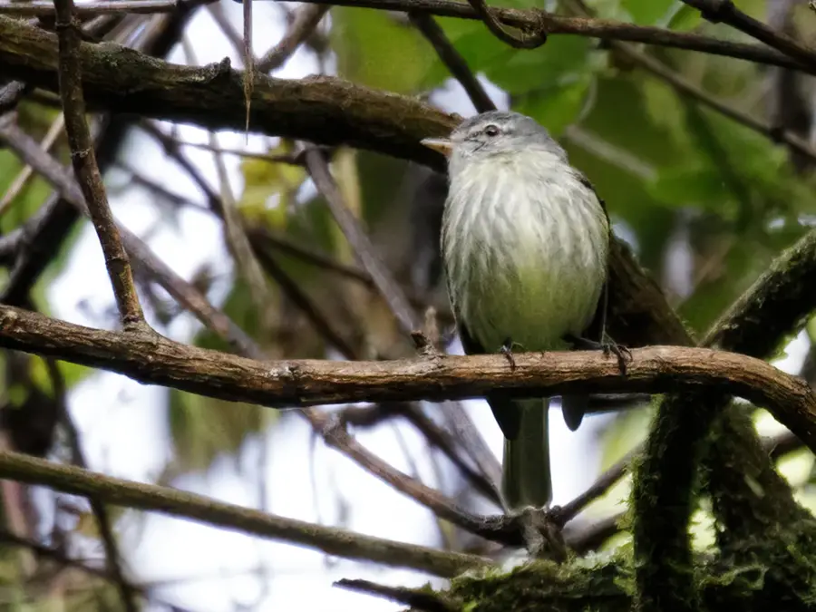
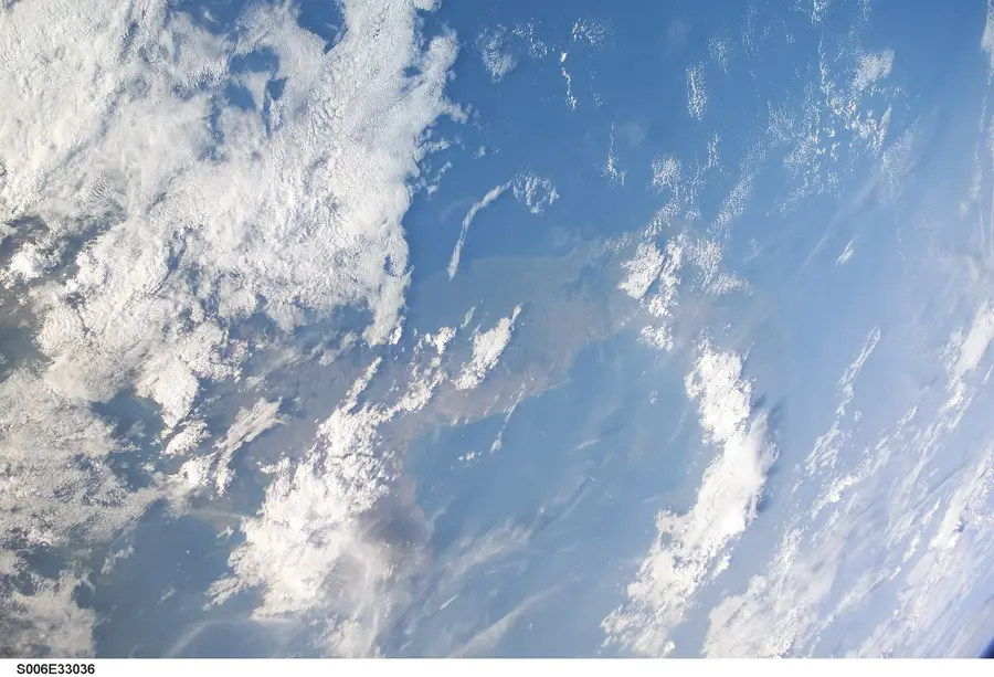
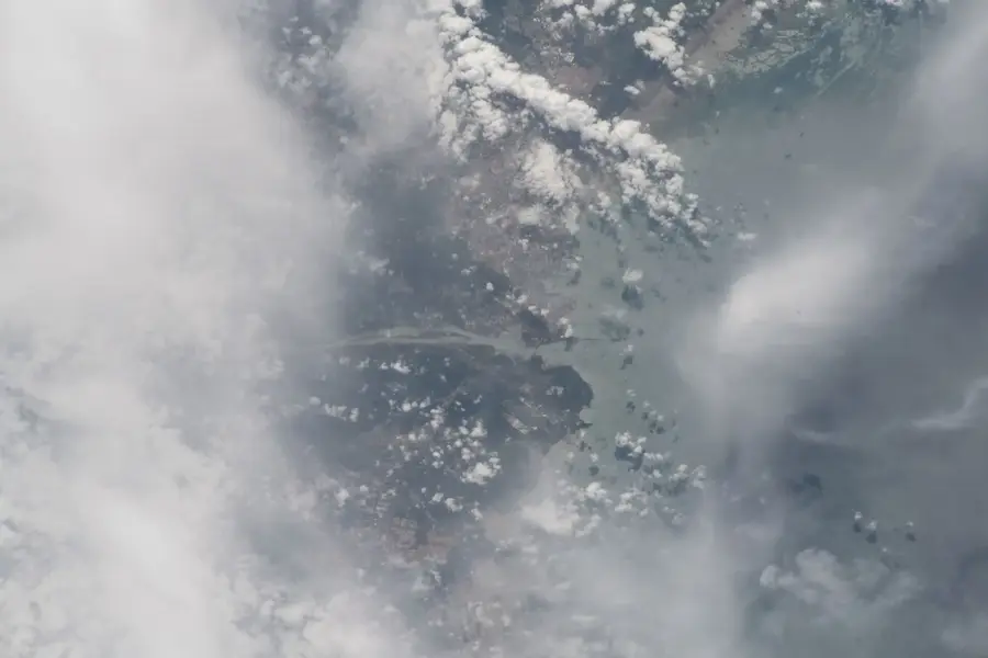
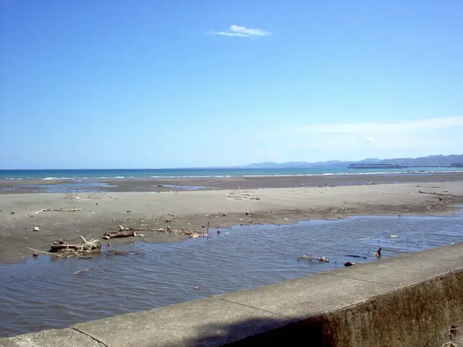
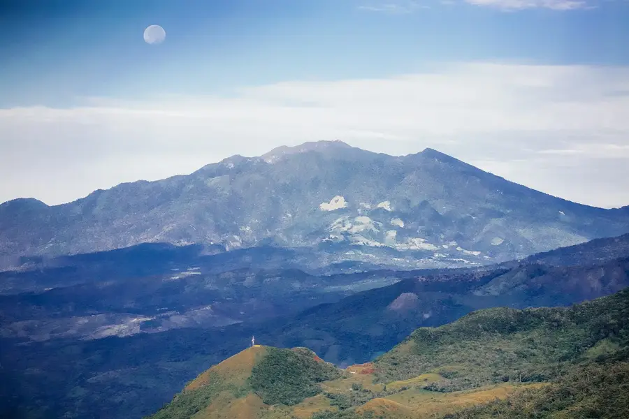
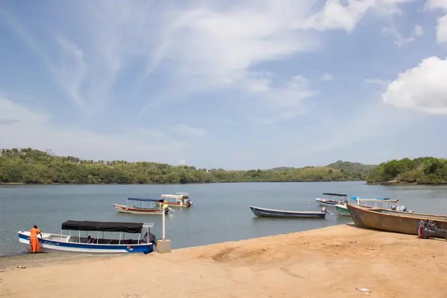
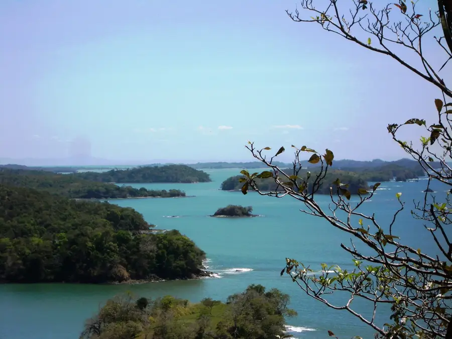
Punta Burica is a remote peninsula and headland that defines the border between Panama and Costa Rica in the far southwest of Chiriquí Province. Geographically, it is a narrow projection of land into the Pacific Ocean, characterized by rugged hills and dense tropical rainforests. Its isolation has made it a sanctuary for undisturbed wildlife, such as howler monkeys, toucans, and endangered sea turtles that nest on its secluded beaches. Historically, the peninsula remained accessible only by sea for centuries, preserving the traditional way of life of the local inhabitants. Geologically, Punta Burica sits in a tectonically active zone, shaped by the subduction of the Cocos Plate beneath the Caribbean Plate. The waters surrounding the point are known for their powerful currents and world-class surfing conditions for those willing to venture off the beaten path. In recent years, Puerto Armuelles, the gateway to the peninsula, has seen a resurgence in economic interest due to new port infrastructure developments.
- Location: Panama
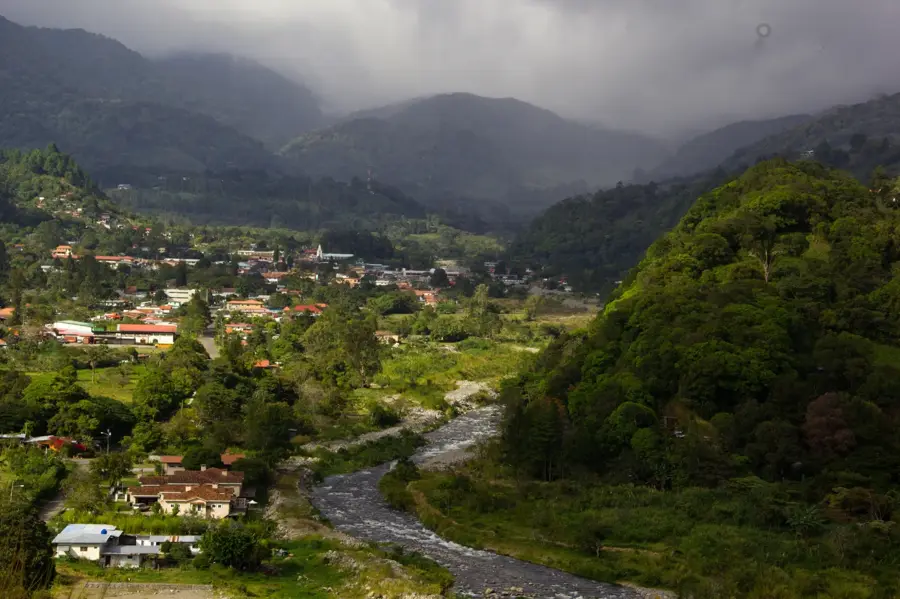
- Nearby: Chiriquí Highlands (Tierras Altas) (26 km)
Best time to visit & climate
The most pleasant time to visit is Jan–Mar.
| Jan | Feb | Mar | Apr | May | Jun | Jul | Aug | Sep | Oct | Nov | Dec | |
|---|---|---|---|---|---|---|---|---|---|---|---|---|
| Avg °C | 28 | 29 | 29 | 29 | 28 | 27 | 27 | 27 | 27 | 27 | 27 | 27 |
| Rain mm | 68 | 37 | 53 | 151 | 349 | 293 | 372 | 344 | 309 | 344 | 343 | 152 |
📋 Practical info
Geography
Facts
- The Punta Burica peninsula is politically shared between Panama and Costa Rica.
- Geologically, the point is located in one of Central America's most seismically active zones.
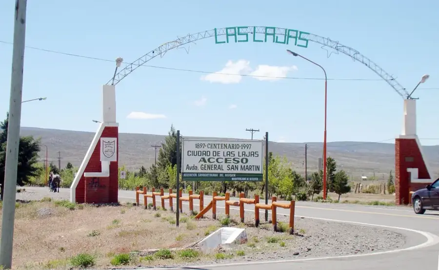
- The city of Puerto Armuelles is situated about 30 kilometers north of the cape's tip.
- The area serves as a major nesting ground for the Olive Ridley sea turtle.
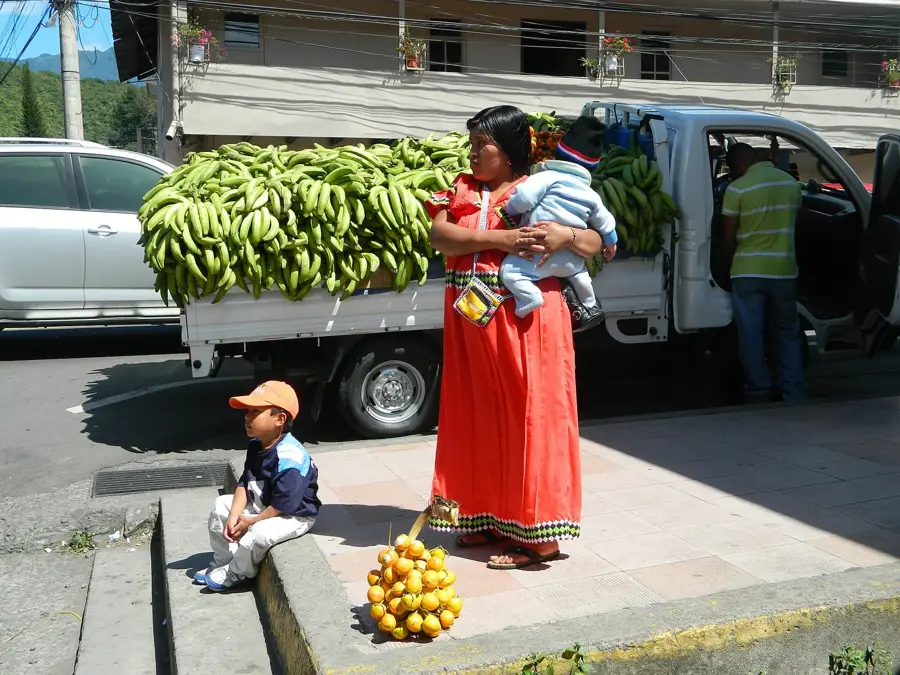
- Local communities on the Panamanian side rely heavily on artisanal fishing for survival.
- The region experiences high annual rainfall levels, often exceeding 4,000 mm.
Explore nearby
Notable places around
Route planner — Car & Motorhome
Where do you start? We build the route here, with stops and country notes along the way.
© OpenStreetMap contributors · OpenRouteService
Sights in the town Punta Burica (1)
Sights nearby
Frequently asked questions
Where is Punta Burica located?
What can you do there?
Is the area easy to reach?
Is there tourist infrastructure?
Is a guide needed?
Punta Burica: where is it located?
Punta Burica: when is the best time to visit?
Punta Burica: why is it worth visiting?

Nearby cities

Nature
More places