Plizio Visual Lab
Tenasserim Hills

Weather…
Water temperature…
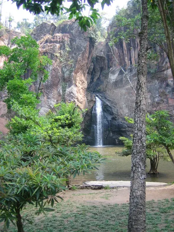
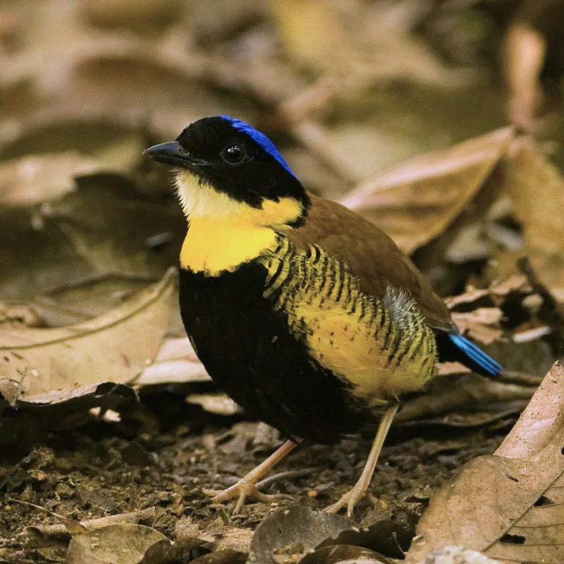
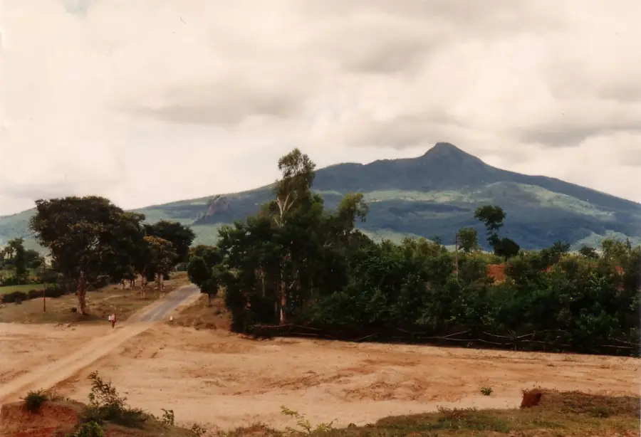
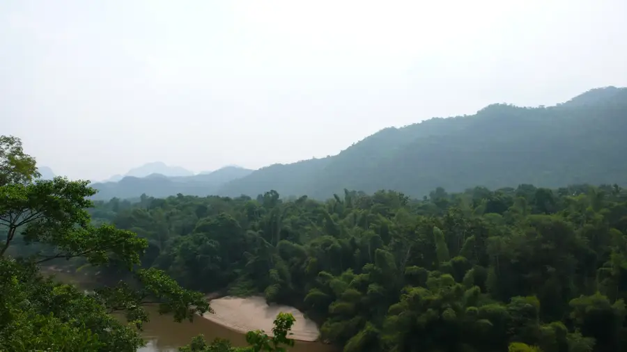
The Tenasserim Hills, also known as the Tanintharyi Range, stretch approximately 1,700 kilometers along the border between Myanmar and Thailand, extending down to the Malay Peninsula. This mountain system forms a natural barrier and significantly influences the region's climate by intercepting rain-bearing monsoon winds. Geologically, the range is primarily composed of granite and limestone, with its highest peak, Myinmoletkat Taung, reaching an elevation of 2,072 meters. The region is renowned for its dense tropical rainforests, which harbor exceptional biodiversity, including endangered species such as the tiger and the Asian elephant. Historically, the hills served as a frontier zone between the kingdoms of Siam and Burma and were the site of numerous territorial conflicts over the centuries. Today, the area is crucial for conservation efforts and is rich in natural resources like tin and tungsten, which have been mined since the 19th century.
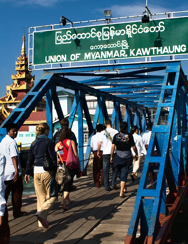
- Location: Myanmar (Burma)
- Nearby: Myeik (15 km)
Best time to visit & climate
The most pleasant time to visit is Jan, Feb, Dec.
| Jan | Feb | Mar | Apr | May | Jun | Jul | Aug | Sep | Oct | Nov | Dec | |
|---|---|---|---|---|---|---|---|---|---|---|---|---|
| Avg °C | 25 | 27 | 28 | 28 | 27 | 26 | 26 | 26 | 25 | 26 | 26 | 25 |
| Rain mm | 25 | 12 | 54 | 57 | 138 | 134 | 143 | 121 | 191 | 274 | 85 | 13 |
📋 Practical info
Geography
Facts
- The total length of the range is approximately 1,700 kilometers.
- The highest point is Myinmoletkat Taung at 2,072 meters.
- The range forms the drainage divide between the Andaman Sea and the Gulf of Thailand.
- It contains some of the largest intact tropical rainforests in Southeast Asia.
- Tin mines in the region have been active for over 150 years.
- The Tenasserim Hills are part of the Indo-Malayan mountain system.
Explore nearby
Notable places around
Route planner — Car & Motorhome
Where do you start? We build the route here, with stops and country notes along the way.
© OpenStreetMap contributors · OpenRouteService
Sights in the town Tenasserim Hills (1)
Sights nearby
Frequently asked questions
How difficult is hiking in the Tenasserim Hills?
When is the best time to visit the region?
Do you need a guide for these mountains?
Are there accommodations nearby?
What is the weather like in the Tenasserim Hills?
Tenasserim Hills: where is it located?
Tenasserim Hills: when is the best time to visit?
Tenasserim Hills: why is it worth visiting?

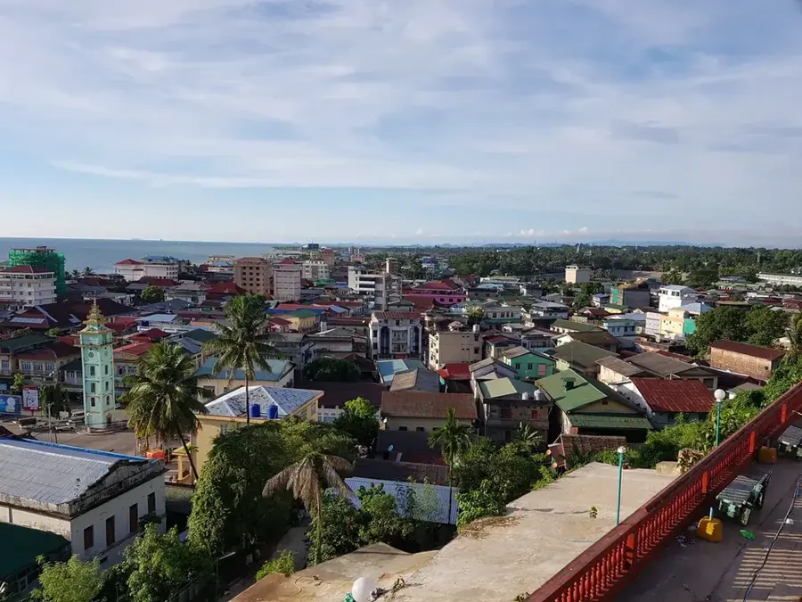
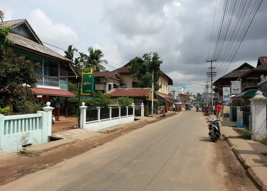
Nearby cities

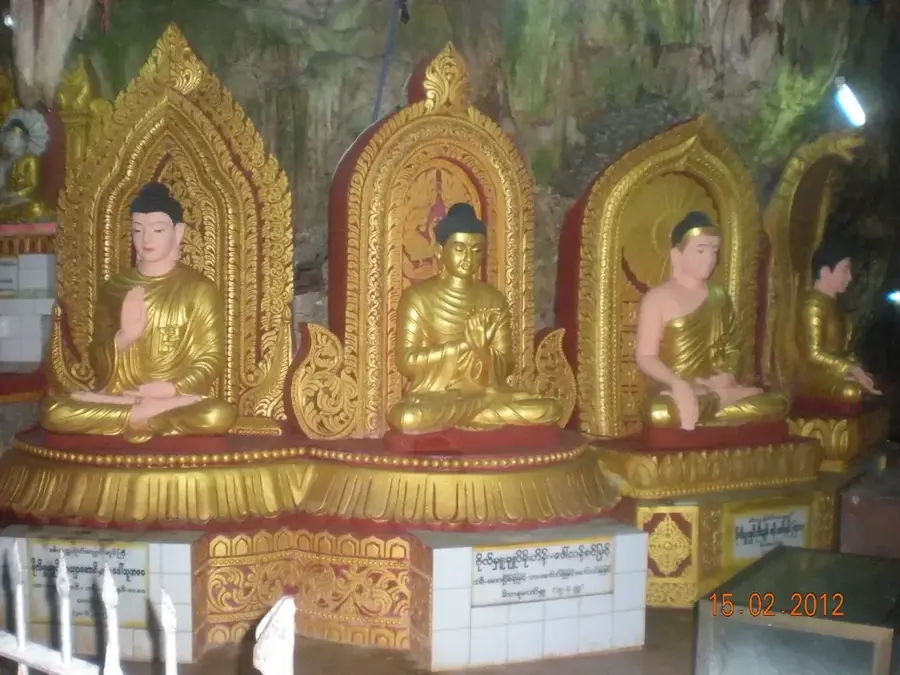
History & landmarks
Nature
More places