Plizio Visual Lab
Dattawgyaik Waterfall

Weather…
Water temperature…
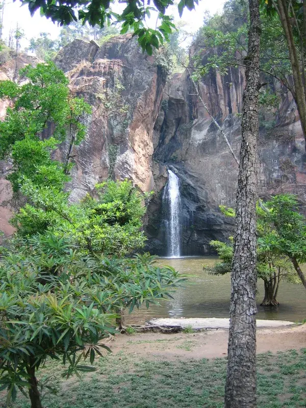
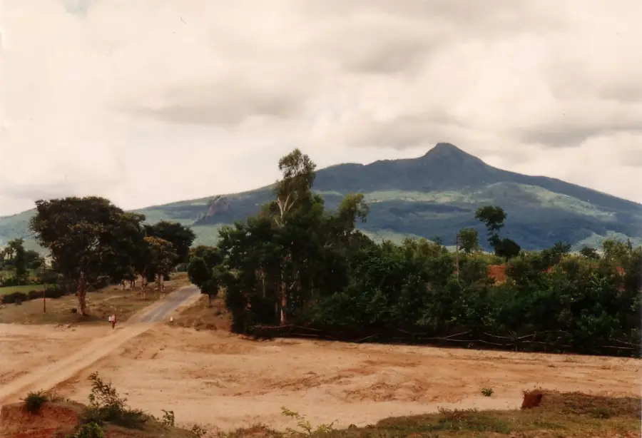
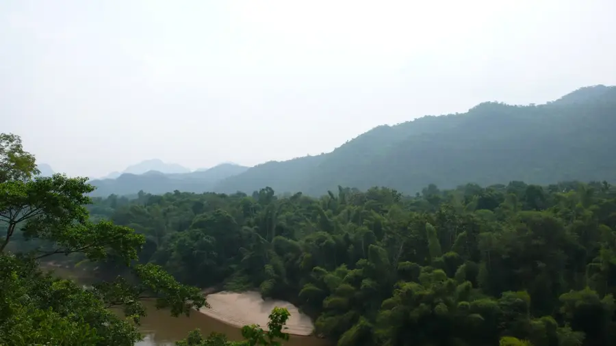
Dattawgyaik Waterfall, widely known as Anisakan Waterfall, is one of the most magnificent and tallest waterfalls in Myanmar, located near the highland town of Pyin Oo Lwin. The water plunges over a massive cliff approximately 120 meters down into a deep gorge, creating a thunderous and spectacular natural display, especially during the monsoon season. Reaching the base of the falls requires a strenuous hike down a steep, narrow trail, which typically takes about 45 minutes and demands a fair level of physical fitness. At the foot of the falls sits a small golden pagoda, providing a serene spiritual contrast to the raw power of the cascading water. Geographically, the waterfall is situated on the edge of the Shan Plateau, where the cooler climate makes it a popular retreat from the stifling heat of the lower plains. The clear water forms natural pools among the rocks, though swimming is cautioned due to strong currents. Historically, the site has been a key geographical attraction in the Mandalay region, often visited alongside the colonial-era sites of Pyin Oo Lwin. The lush vegetation and pristine environment of the canyon make it a haven for hikers and nature photographers alike.
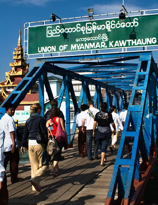
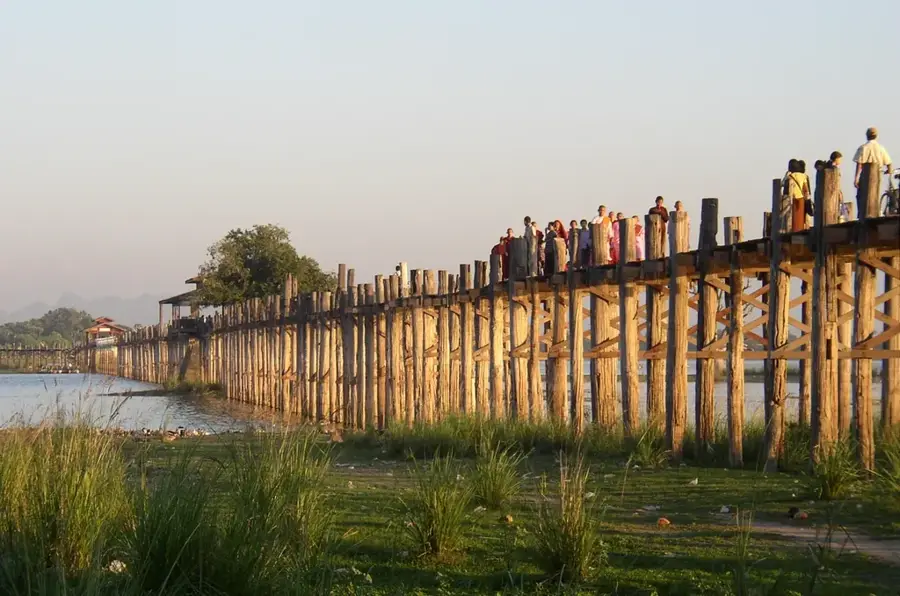
- Location: Myanmar (Burma)
- Top sights: ဒဏ္ဍာရီလာ ခံစစ်ကျုံးကျွန်းတိုင်ကြီး · z project · စေတီ
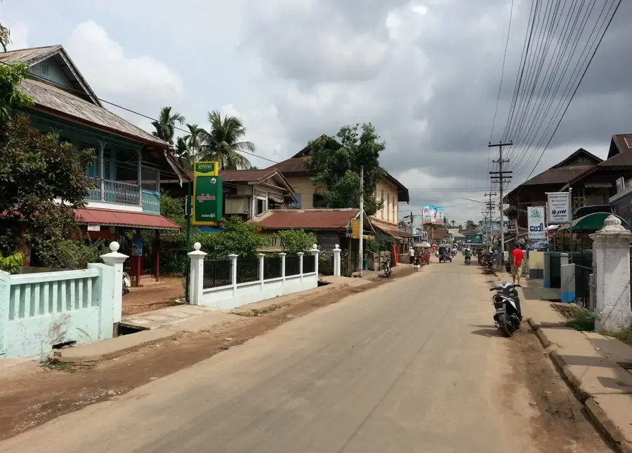
- Nearby: Pyin Oo Lwin (7 km)
Best time to visit & climate
The most pleasant time to visit is Jan, Feb, Dec.
| Jan | Feb | Mar | Apr | May | Jun | Jul | Aug | Sep | Oct | Nov | Dec | |
|---|---|---|---|---|---|---|---|---|---|---|---|---|
| Avg °C | 21 | 24 | 28 | 31 | 31 | 30 | 30 | 30 | 30 | 29 | 26 | 23 |
| Rain mm | 11 | 2 | 7 | 15 | 32 | 44 | 33 | 38 | 30 | 33 | 9 | 7 |
📋 Practical info
Geography
Facts
- The waterfall has a total drop of about 120 meters.
- The hike down to the base takes roughly 45 minutes.
- Located near Anisakan village, close to Pyin Oo Lwin.
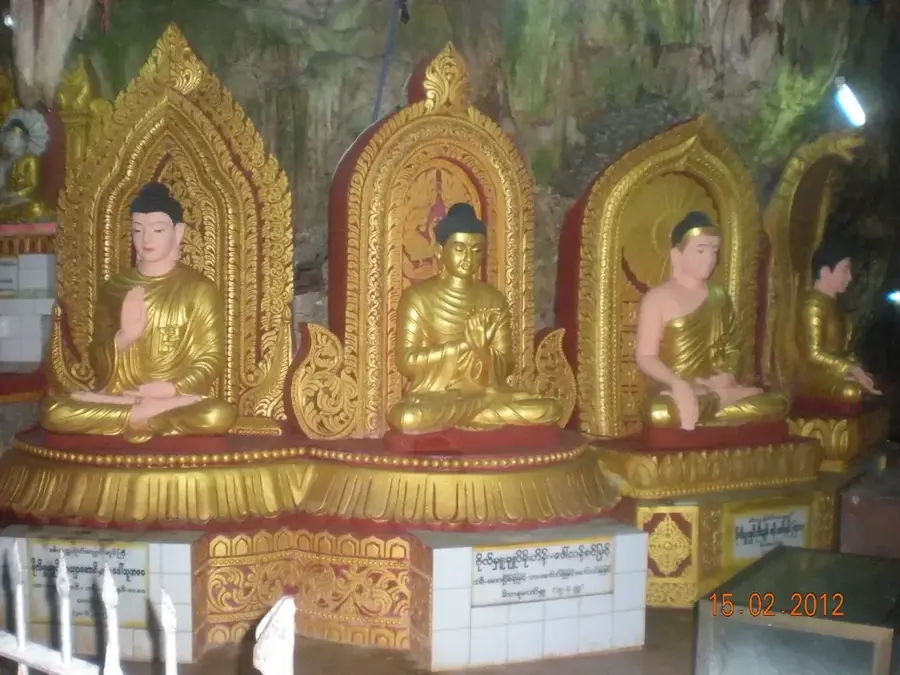
- Features a small golden pagoda at the very bottom.
- Most spectacular during the rainy season (July-October).
- Part of the Dattawgyaik River system on the Shan Plateau.
Explore nearby
Notable places around
Route planner — Car & Motorhome
Where do you start? We build the route here, with stops and country notes along the way.
© OpenStreetMap contributors · OpenRouteService
Sights in the town Dattawgyaik Waterfall (4)
Sights nearby
Frequently asked questions
How difficult is the hike to the waterfall?
Can you swim in the water?
What should you bring?
Is there food available?
When is the best time to visit?
Dattawgyaik Waterfall: where is it located?
Dattawgyaik Waterfall: what is there to see?
Dattawgyaik Waterfall: when is the best time to visit?
Dattawgyaik Waterfall: why is it worth visiting?

Nearby cities

History & landmarks
Nature
More places