Plizio Visual Lab
Songo

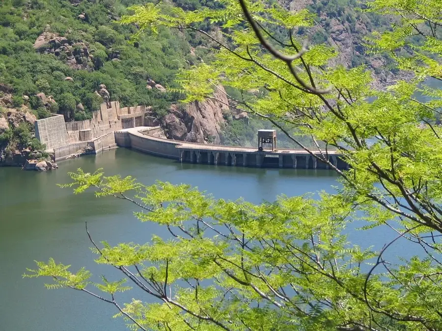
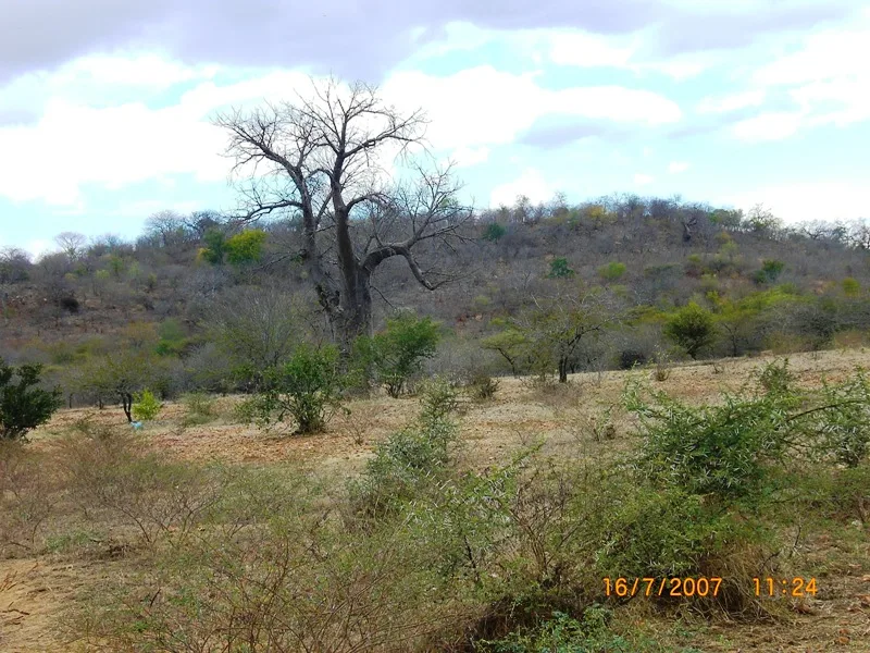
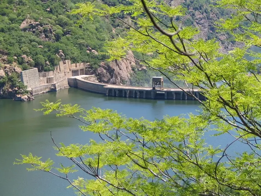
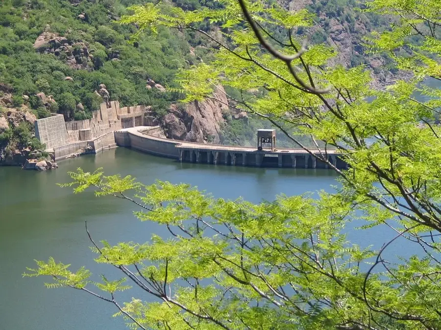
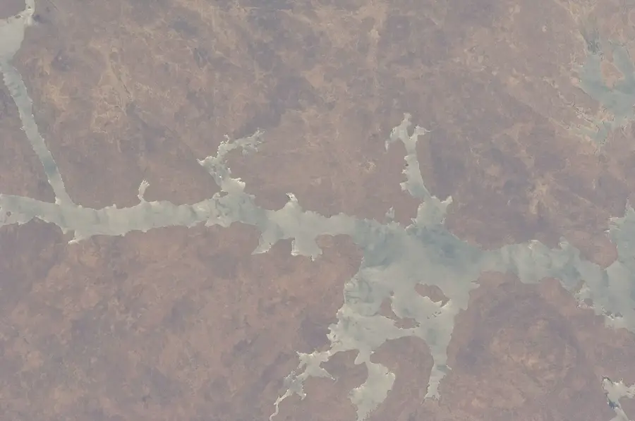
Songo was originally built as a settlement for workers constructing the Cahora Bassa Dam, and it sits picturesquely on a plateau above the Zambezi Valley. Due to its elevated position, the town provides a much more pleasant and cooler climate than the often scorching heat of the surrounding Tete region. The town is characterized by orderly streets and a relaxed, almost park-like atmosphere. The main reason for a visit is the proximity to the massive reservoir and the dam. From various viewpoints in and around Songo, you can get a spectacular view of the engineering masterpiece of the dam and the vast body of water behind it. The town serves as a logistical hub for anglers and technicians visiting the region. Visitors should take advantage of the dry months from May to September to enjoy the nature to the fullest. There is a small airport and good road connections to Tete. Songo features basic amenities and is a safe, quiet haven for travelers wanting to explore the Zambezi wilderness. The combination of technical significance and impressive views makes Songo a unique stop in central Mozambique.
Explore on the map
How well do you know Mozambique?
Find cities, landscapes and regions in 10 varied challenges on the interactive map.
Your journey, your memory
A postcard from Songo
Turn your own photo into a personal postcard with a local stamp. Free and no sign-up required.
Create a postcard- Location: Mozambique
- Population: ~31.101 (2024)
Geography
Facts
- Perched on a plateau
- Cool highland climate
- Overlooks the Zambezi
- Dam worker town
- Orderly urban layout
- Near Cahora Bassa
- Regional airport
- Safe and quiet
Explore nearby
Notable places around

Route planner — Car & Motorhome
Where do you start? We build the route here, with stops and country notes along the way.
© OpenStreetMap contributors · OpenRouteService
Sights in the town Songo (1)
Frequently asked questions
Songo: where is it located?
Songo: why is it worth visiting?

Nearby cities
History & landmarks
Nature
More places