Plizio Visual Lab
Mount Songo

Weather…
Water temperature…
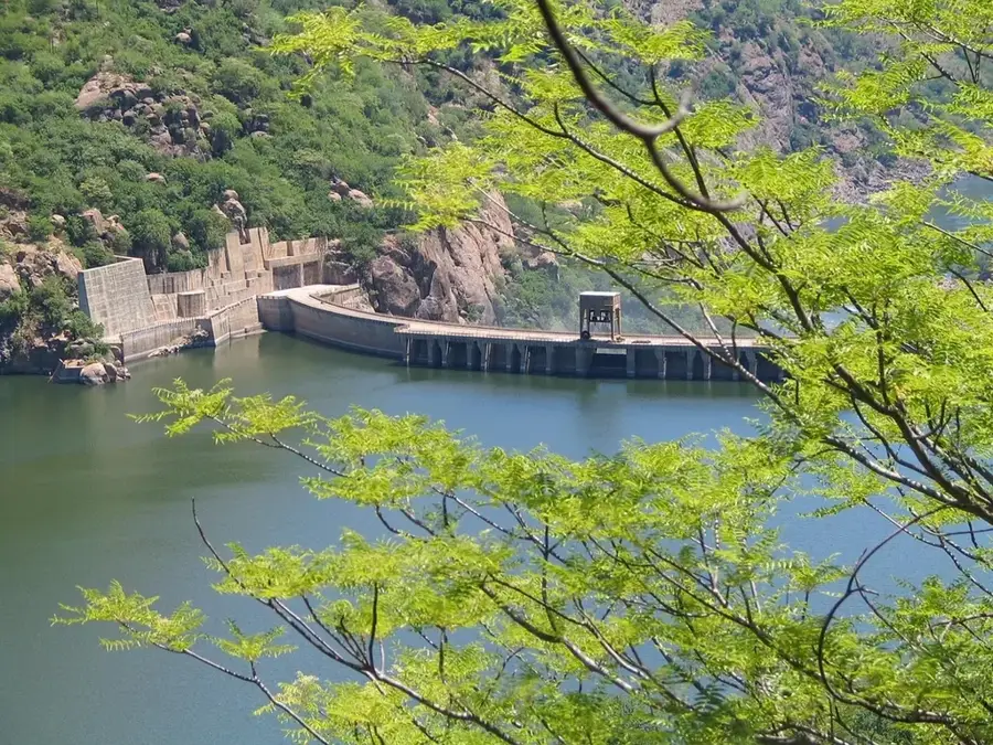
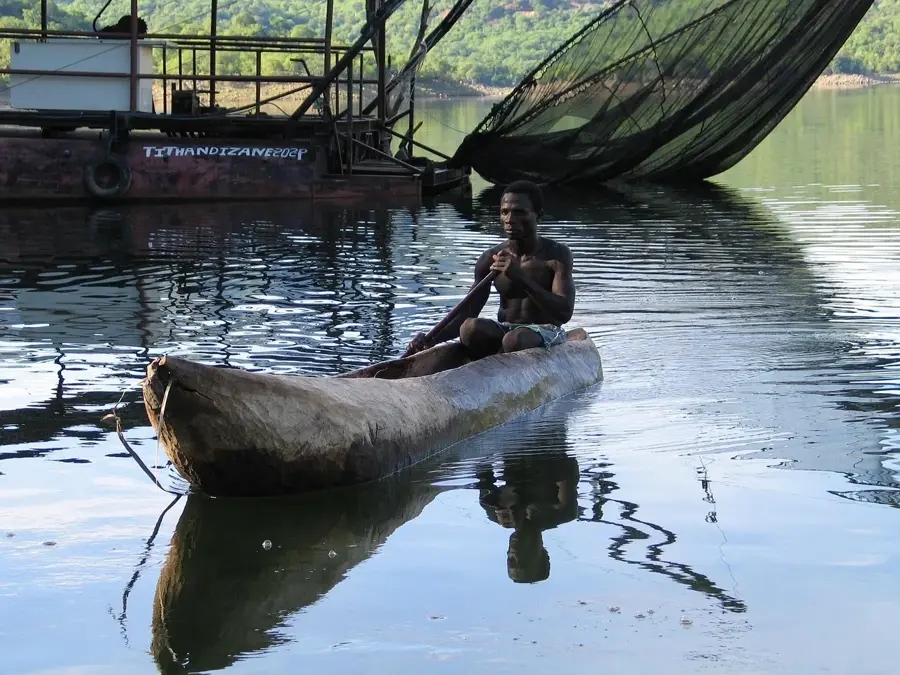
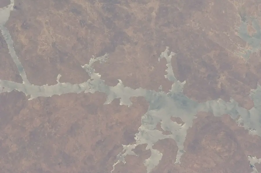
Mount Songo is located in the Tete Province of Mozambique and is closely associated with the Songo Plateau, which overlooks the Zambezi River valley. Rising to an elevation of approximately 800 to 900 meters above sea level, the massif provides a strategic overview of the Cahora Bassa dam, one of Africa's largest hydroelectric projects. Geologically, the mountain is composed of resistant igneous and metamorphic rocks that have withstood the erosion of the river valley. Historically, the region gained worldwide fame during the dam's construction in the 1970s, with Mount Songo serving as a natural anchor point for the engineering infrastructure. The flora is characterized by dry Miombo woodlands and savanna vegetation adapted to the hot and dry conditions of the Zambezi valley. In modern times, the mountain is an important site for telecommunications equipment and serves as a landmark for regional aviation. The fauna includes birds of prey and smaller reptiles that find shelter in the rocky crevices of the massif. Despite industrial proximity, the mountain preserves sections of original wilderness significant for maintaining local biodiversity in the shadow of major engineering projects.
- Location: Mozambique
- Nearby: Songo (13 km)
Best time to visit & climate
The most pleasant time to visit is May–Jul.
| Jan | Feb | Mar | Apr | May | Jun | Jul | Aug | Sep | Oct | Nov | Dec | |
|---|---|---|---|---|---|---|---|---|---|---|---|---|
| Avg °C | 26 | 26 | 25 | 25 | 23 | 21 | 20 | 23 | 26 | 29 | 30 | 27 |
| Rain mm | 216 | 170 | 100 | 26 | 6 | 5 | 9 | 2 | 3 | 11 | 66 | 197 |
📋 Practical info
Geography
Facts
- Located near the Cahora Bassa hydroelectric dam.
- Reaches an elevation of approximately 800-900 meters.
- Situated in the Tete Province of northwestern Mozambique.
- Geologically characterized by Precambrian rocks.
- Strategic site for regional telecommunications.
- Part of the Songo Plateau overlooking the Zambezi valley.
Explore nearby
Notable places around
Route planner — Car & Motorhome
Where do you start? We build the route here, with stops and country notes along the way.
© OpenStreetMap contributors · OpenRouteService
Sights nearby
Frequently asked questions
How long does it take to hike Mount Songo?
Do I need a mountain guide?
Is the mountain suitable for families?
When is the best view expected?
Are there toilets on the mountain?
Mount Songo: where is it located?
Mount Songo: when is the best time to visit?
Mount Songo: why is it worth visiting?

Nearby cities
History & landmarks

Nature
More places