Plizio Visual Lab
Namapa
ℹ️Practical info — Namapa
▾
🌤 Weather — 5 days
📍 Nearby
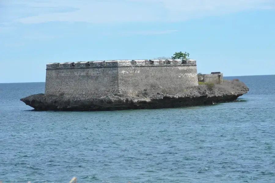
Sights nearby
💡 Tips
- Visit the banks of the Lúrio River, one of the most significant waterways in northern Mozambique.
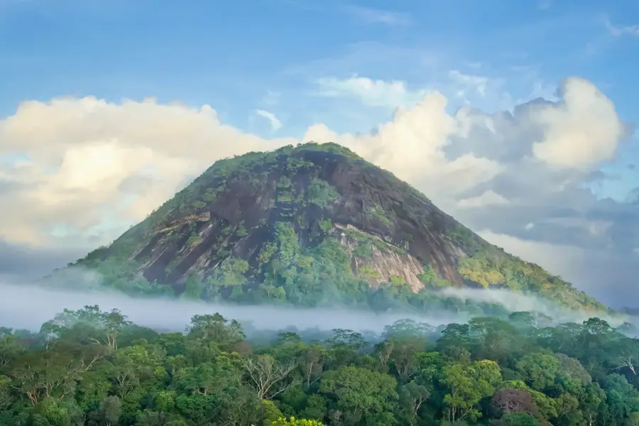
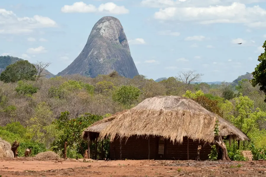
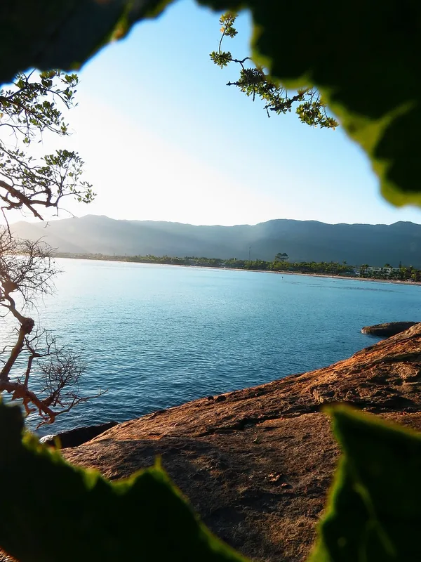
- Admire the striking granite hills (inselbergs) visible in the distance, which define the regional landscape.
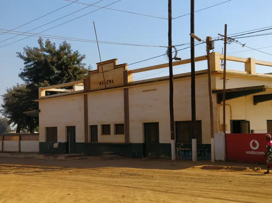
- Namapa is a strategic stop along the main north-south road in Nampula Province.
- Take the opportunity to buy fresh peanuts, as the Eráti district is well-known for them.
- Look out for local market days when farmers from across the district gather to trade.
🍽 Food
A must-try in Namapa; often sold in small cones by the roadside or in the market.
Sample the Nampula style of grilled chicken from street vendors.
A seasonal fruit that is particularly flavorful in this agricultural region.
🛍 Shopping · 🧘 Quiet spots
A bustling spot for buying grains, pulses, and locally popular fabrics.
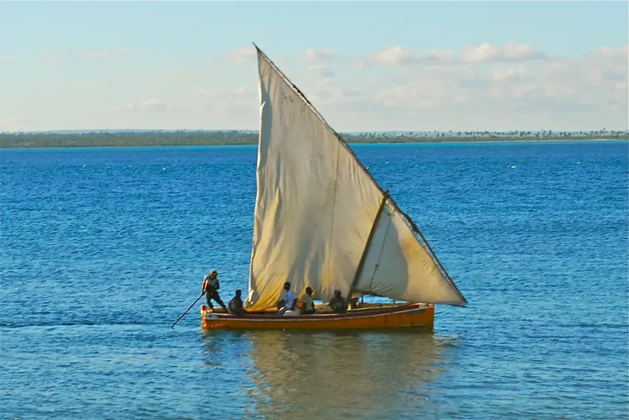
Often a good place to find fresh river fish or seasonal agricultural produce.
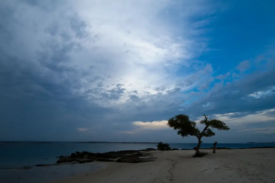
A stroll along the river features peace and scenic views, especially at sunset.
Find elevated spots on the town's edge for panoramic views of the distant granite hills.
Water temperature…
Namapa is a strategically located town in the northern part of Nampula Province, situated on the banks of the Lúrio River, which forms the border with Cabo Delgado Province. The town is an essential hub for North-South transit in Mozambique, as it hosts one of the few major bridges over the Lúrio River, enabling trade and transport between Nampula and the northernmost regions. Geographically, the area is renowned for its spectacular inselbergs, massive granite formations that rise abruptly from the savannah, giving the landscape a dramatic and unique appearance. Namapa's economy is primarily agricultural, focusing on the production of cotton, cashew nuts, and maize, with the river providing a critical resource for local irrigation. Historically an important administrative outpost during the colonial period, the town has seen growth in recent years following the rehabilitation of the national highway. The local population is predominantly of the Makua ethnic group, whose rich cultural traditions deeply influence the town's social and community life.
- Location: Mozambique
- Nearby: Chiúre (9 km)
- Population: ~26.383 (2024)
Best time to visit & climate
The most pleasant time to visit is Jun–Aug.
| Jan | Feb | Mar | Apr | May | Jun | Jul | Aug | Sep | Oct | Nov | Dec | |
|---|---|---|---|---|---|---|---|---|---|---|---|---|
| Avg °C | 26 | 26 | 25 | 24 | 23 | 22 | 22 | 23 | 25 | 27 | 28 | 27 |
| Rain mm | 351 | 255 | 190 | 127 | 21 | 22 | 16 | 16 | 11 | 22 | 47 | 180 |
Geography
Facts
- The Lúrio Bridge at Namapa is one of the longest in northern Mozambique.
- Namapa is located at the foot of striking granite inselbergs.
- Cashew nuts are the region's primary agricultural export.
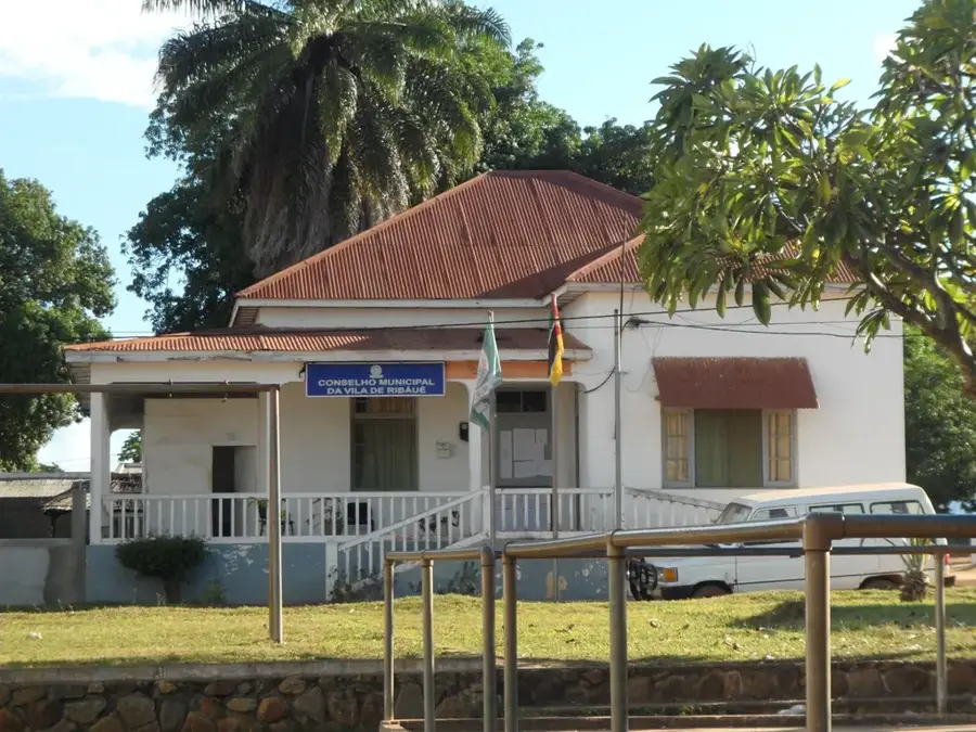
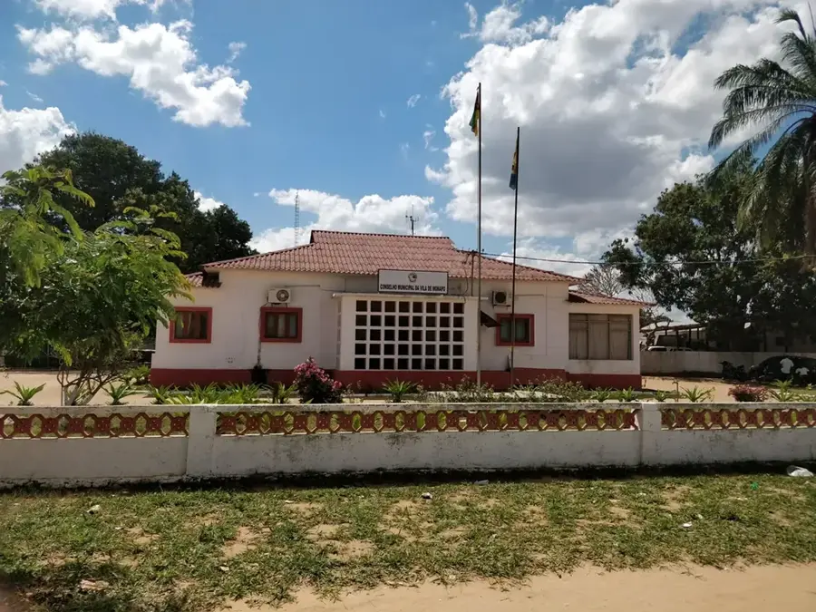
- The town serves as the administrative headquarters of the Eráti District.
- The Lúrio River flows year-round, providing a stable water source.
- The N1 highway connects Namapa directly to the cities of Nampula and Pemba.
Explore nearby
Notable places around
Route planner — Car & Motorhome
Where do you start? We build the route here, with stops and country notes along the way.
© OpenStreetMap contributors · OpenRouteService
Frequently asked questions
What is the best way to explore Namapa?
Are there any sights in Namapa city?
Where can I eat in Namapa?
Is a visa required for the Namapa region?
What is the climate like in Namapa?
Namapa: where is it located?
Namapa: when is the best time to visit?
Namapa: why is it worth visiting?

Nearby cities


History & landmarks
More places