Plizio Visual Lab
Verdon Gorge
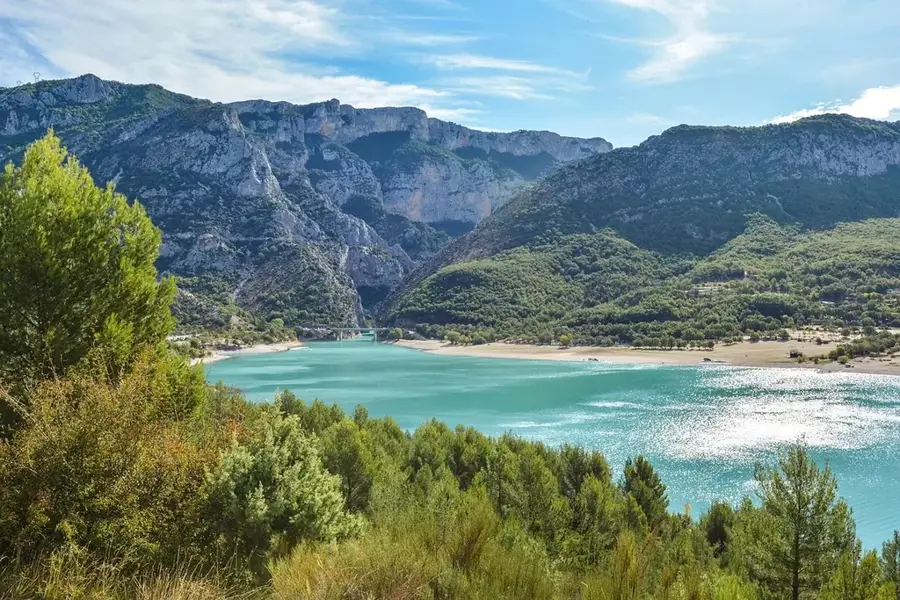
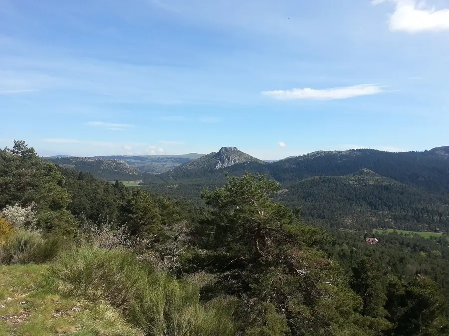
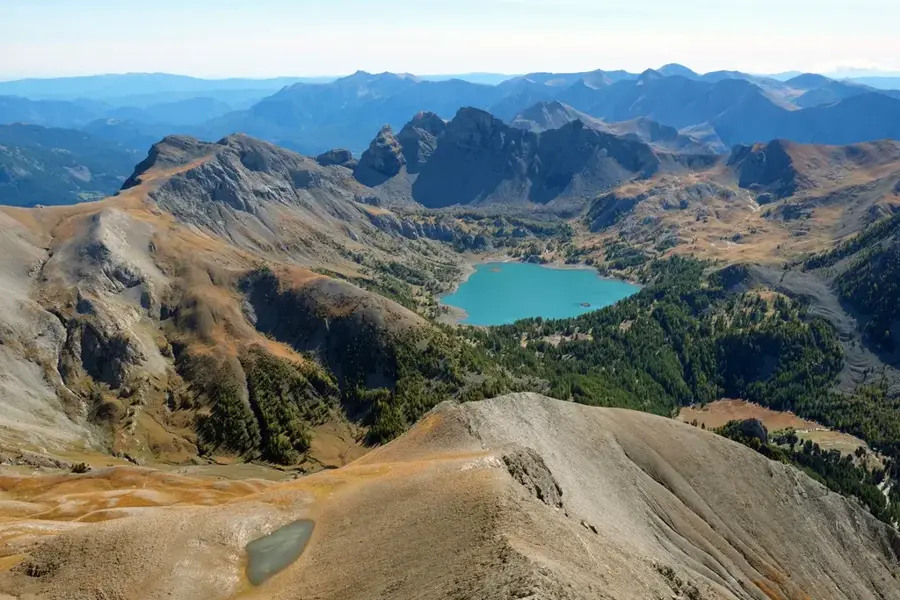
The Verdon Gorge (Gorges du Verdon) in southeastern France is widely regarded as Europe's most magnificent canyon, famed for its staggering scale and the striking turquoise-green waters of the Verdon River. Stretching for approximately 25 kilometers, the river has carved a path through the limestone massifs of Provence, creating depths that reach up to 700 meters in several sections. This geological wonder was formed during the Quaternary period through a combination of tectonic shifts and relentless water erosion. The gorge is a global destination for outdoor adventure, offering world-class rock climbing, hiking, and whitewater sports. Iconic vantage points such as 'Point Sublime' provide dramatic views of the river meandering far below between sheer vertical walls. At its western exit, the canyon opens into the expansive Lac de Sainte-Croix, a man-made lake known for its vivid azure color. The area is also a vital wildlife sanctuary within the Verdon Regional Natural Park, particularly noted for the successful reintroduction of Griffon vultures. The winding 'Route des Crêtes' allows travelers to explore the canyon's edge, offering numerous balconies over the abyss.
- Location: Monaco
- Top sights: Notre-Dame de Vauvert · Château de La Palud-sur-Verdon · Mairie de La Palud-sur-Verdon
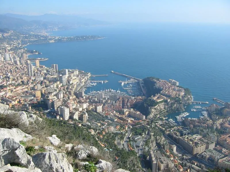
- Nearby: Les Révoires (86 km)
Best time to visit & climate
The most pleasant time to visit is Jun–Aug.
| Jan | Feb | Mar | Apr | May | Jun | Jul | Aug | Sep | Oct | Nov | Dec | |
|---|---|---|---|---|---|---|---|---|---|---|---|---|
| Avg °C | 1 | 2 | 5 | 9 | 13 | 18 | 21 | 21 | 16 | 11 | 6 | 2 |
| Rain mm | 49 | 45 | 52 | 56 | 66 | 44 | 25 | 31 | 53 | 84 | 102 | 69 |
📋 Practical info
Geography
Facts
- The gorge extends for a total length of approximately 25 kilometers.
- The canyon reaches its maximum depth of 700 meters near the 'Point Sublime'.
- The Verdon River originates in the Alps at an altitude of 2,819 meters.
- The Lac de Sainte-Croix was created in 1974 following the construction of a dam.
- There are over 1,500 established climbing routes on the canyon's limestone cliffs.
- The famous Blanc-Martel trail is approximately 15 kilometers long one way.
Explore nearby
Notable places around
Route planner — Car & Motorhome
Where do you start? We build the route here, with stops and country notes along the way.
© OpenStreetMap contributors · OpenRouteService
Sights in the town Verdon Gorge (8)
Mairie de La Palud-sur-Verdon
Commune in the Alpes-de-Haute-Provence, France.
Belvédère de l'Escales
Viewpoint overlooking the Verdon Gorge.
Belvédère de la Dent d'Aïre
Viewpoint looking into the gorge.
Belvédère du Pas de Bau
Viewpoint on the edge of the Verdon Gorge.
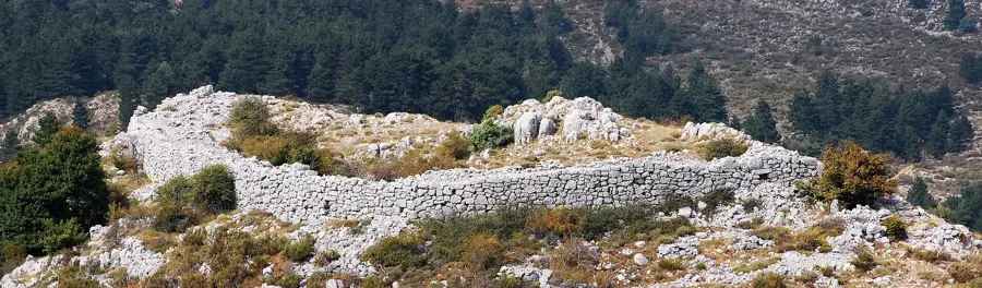
Cime de Barbin
Mountain peak in France.
Sights nearby
Frequently asked questions
Can you go boating in the Gorges du Verdon?
Which is the best panoramic road?
Can you swim in the Verdon River?
How much time should you plan for a visit?
Are the roads in the canyon suitable for motorhomes?
Verdon Gorge: where is it located?
Verdon Gorge: what is there to see?
Verdon Gorge: when is the best time to visit?
Verdon Gorge: why is it worth visiting?

Nearby cities
History & landmarks
Nature
More places