Plizio Visual Lab
Valley of Mexico

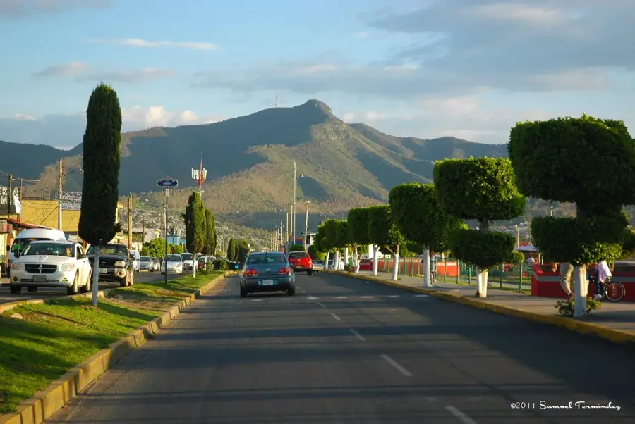
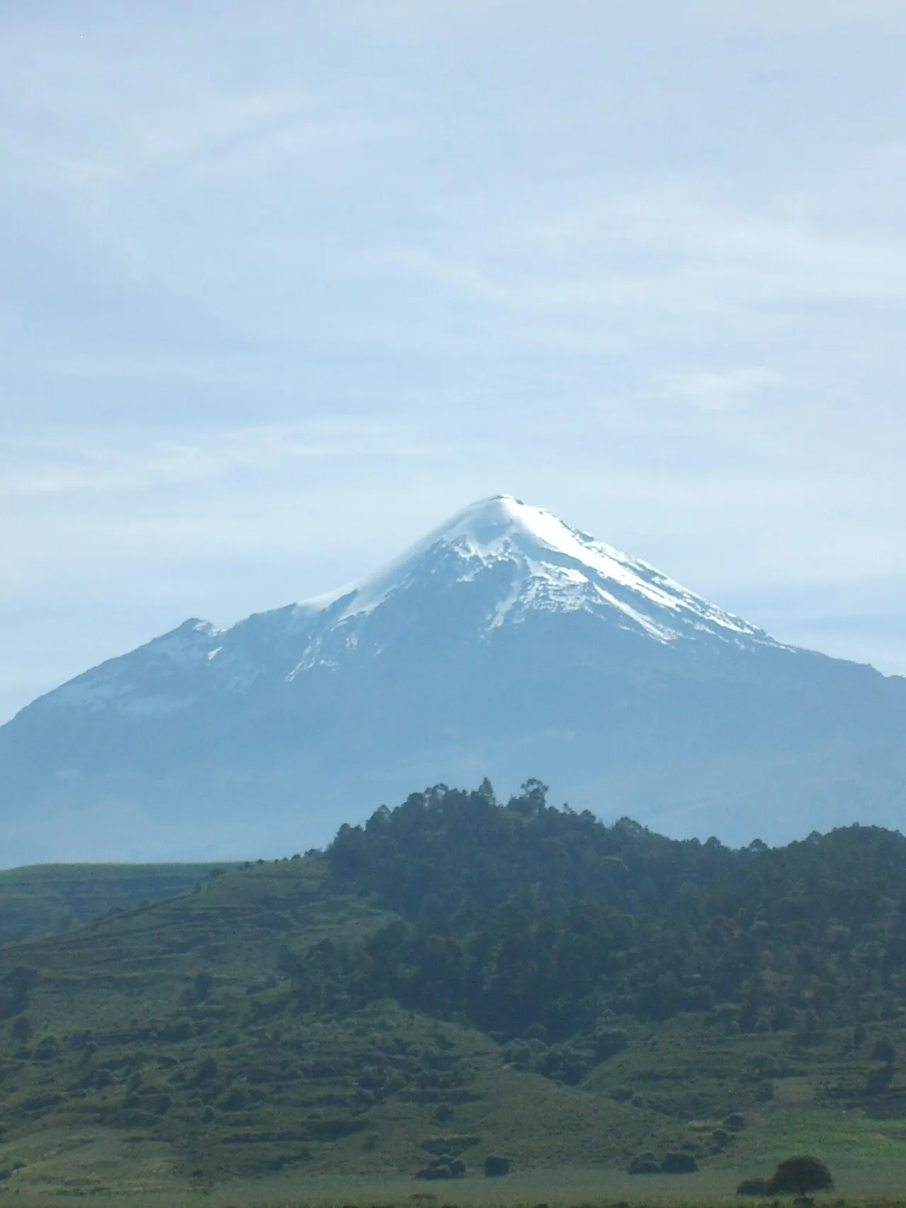
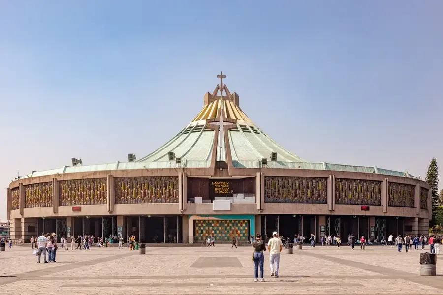
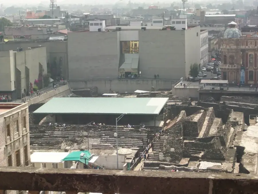
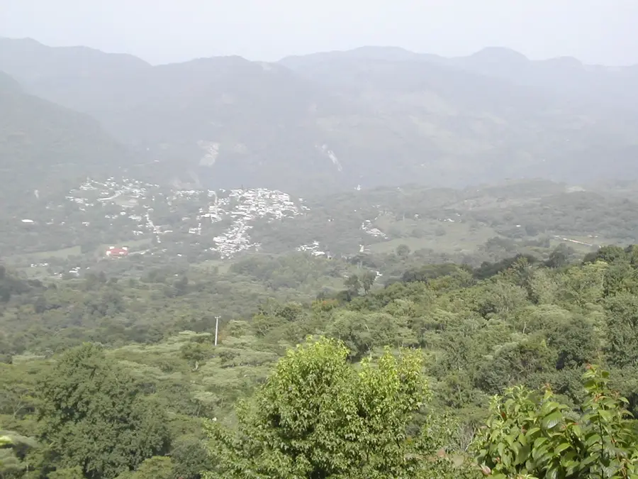
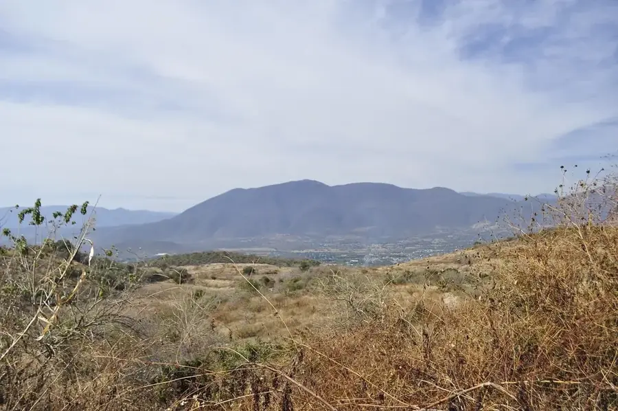
The Valley of Mexico (Valle de México) is a high plateau in the center of the country, situated at an average elevation of 2,240 meters. It is an endorheic basin that was originally covered by a large system of five interconnected lakes, including Lake Texcoco. Historically, the valley was the center of major civilizations such as Teotihuacán and the Aztecs, who built their capital Tenochtitlan on an island in the lake. Today, the valley houses the Mexico City metropolitan area, one of the world's largest urban agglomerations. The basin is almost entirely surrounded by high mountains and volcanoes, including the famous twin volcanoes Popocatépetl and Iztaccíhuatl to the east. Geologically, the valley is characterized by volcanic deposits and lake sediments, leading to soil subsidence issues as groundwater is heavily extracted. The climate is temperate but faces significant challenges from air pollution and water scarcity.
- Location: Mexico
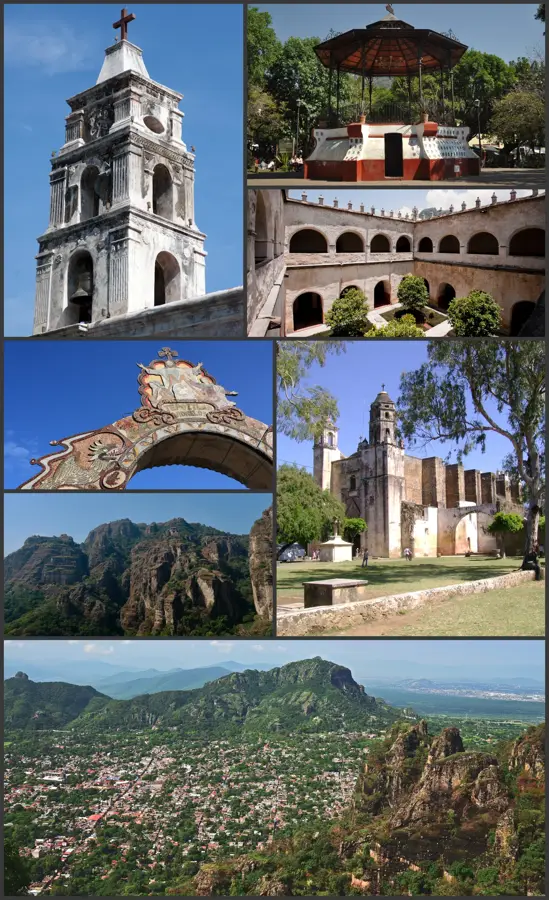
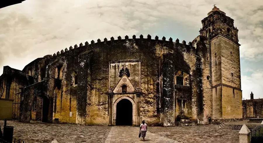
- Top sights: Casa de Cultura Iztaccíhuatl · Gran Esfera · Centro de Convivencia Carranza
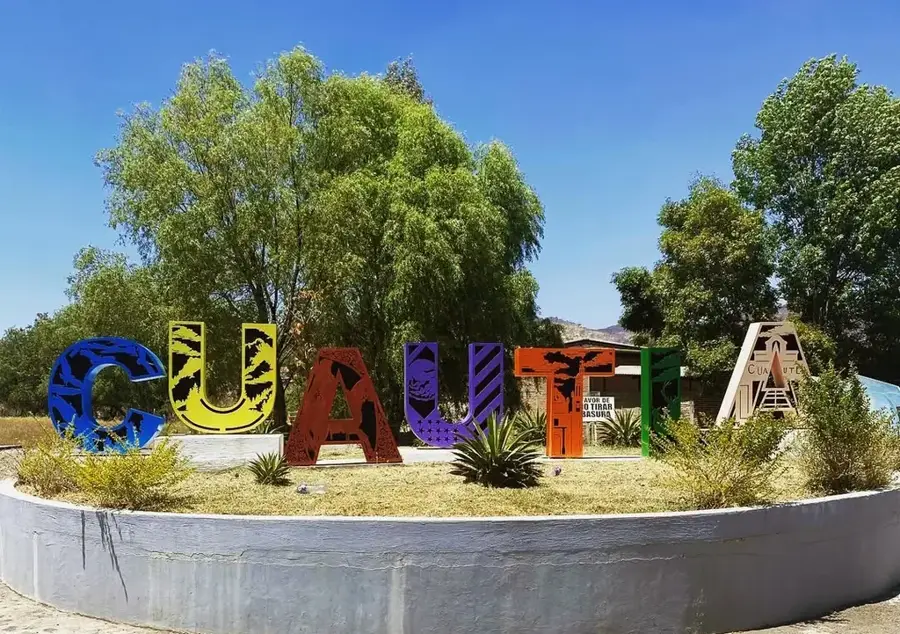
- Nearby: Tepoztlán (7 km)
Best time to visit & climate
The most pleasant time to visit is Mar–May.
| Jan | Feb | Mar | Apr | May | Jun | Jul | Aug | Sep | Oct | Nov | Dec | |
|---|---|---|---|---|---|---|---|---|---|---|---|---|
| Avg °C | 10 | 12 | 14 | 16 | 17 | 16 | 15 | 15 | 14 | 13 | 11 | 11 |
| Rain mm | 14 | 14 | 21 | 31 | 61 | 148 | 150 | 157 | 171 | 88 | 30 | 12 |
📋 Practical info
Geography
Facts
- The basin covers an area of approximately 9,600 square kilometers.
- Popocatépetl is the highest point on the valley's rim at 5,426 meters.
- Tenochtitlan was founded in 1325 in the middle of the lake system.
- Groundwater extraction causes parts of Mexico City to sink up to 30 cm annually.
- The valley is part of the Trans-Mexican Volcanic Belt geological province.
- Over 22 million people currently reside within the valley's boundaries.
Explore nearby
Notable places around
Route planner — Car & Motorhome
Where do you start? We build the route here, with stops and country notes along the way.
© OpenStreetMap contributors · OpenRouteService
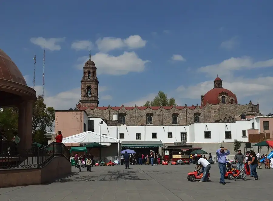
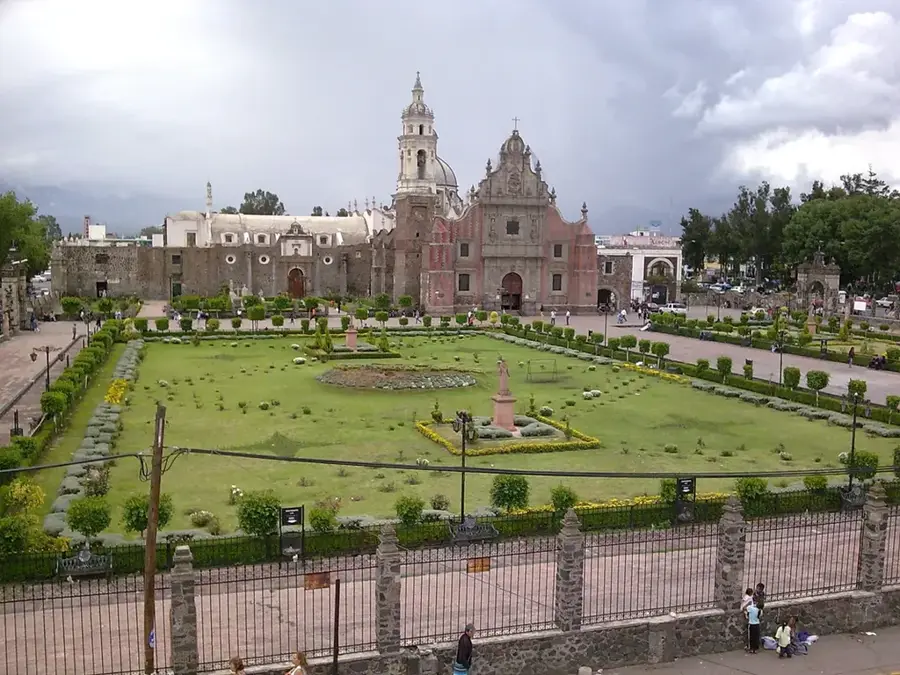
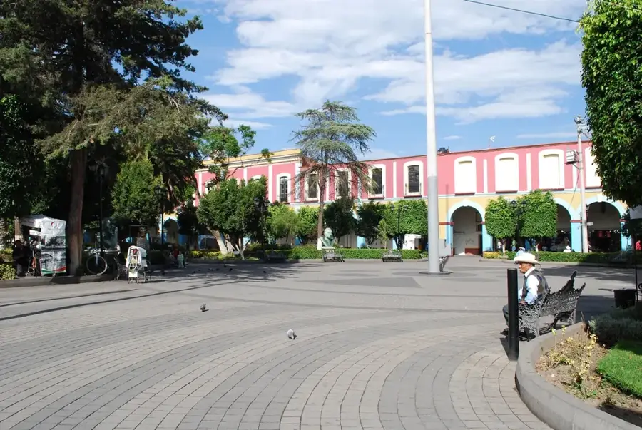
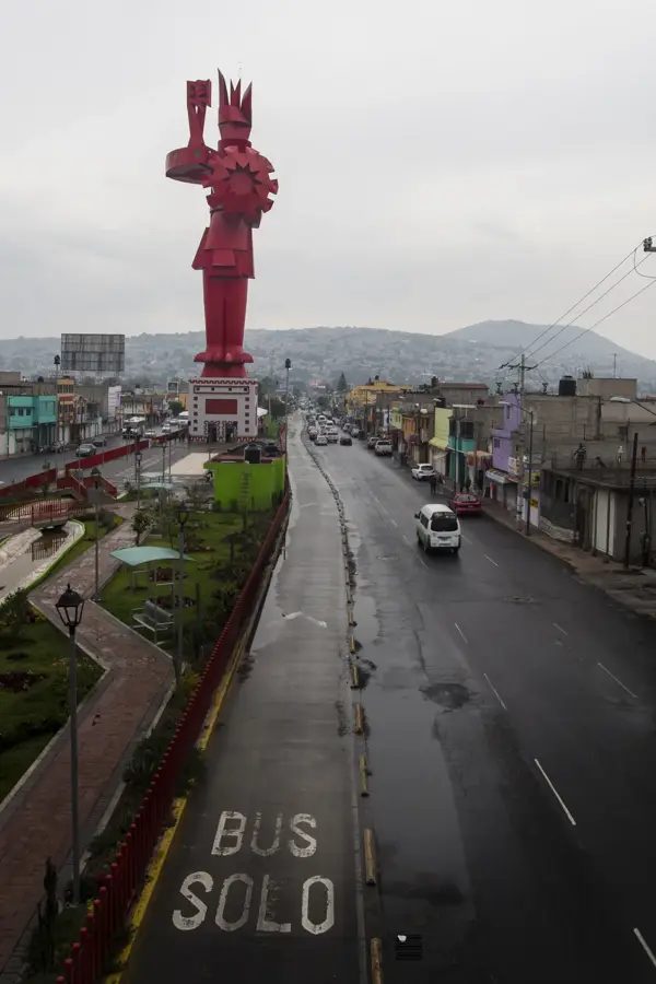
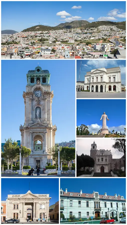
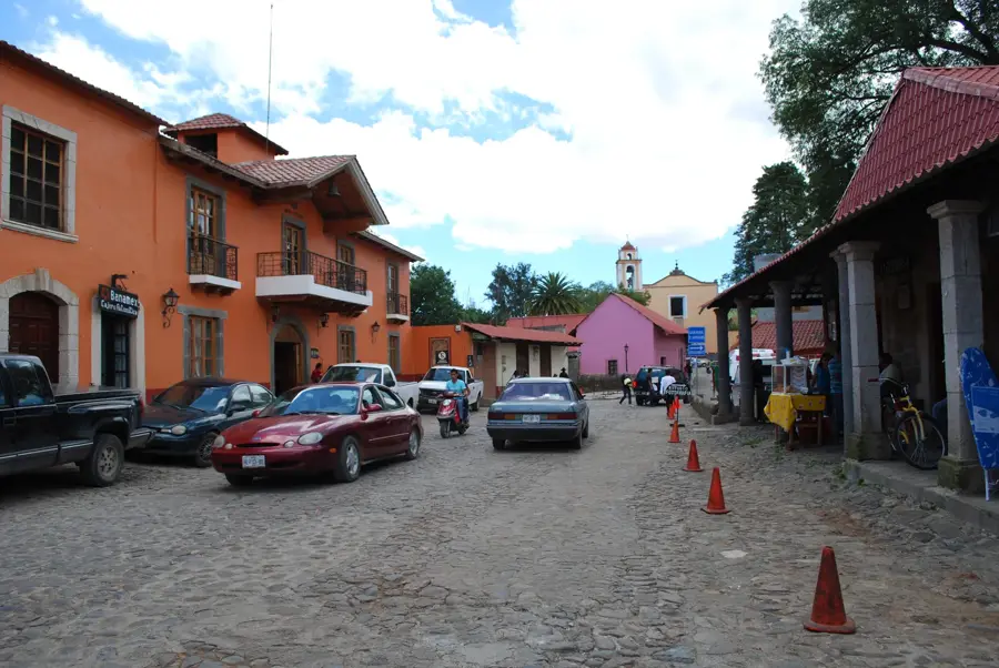
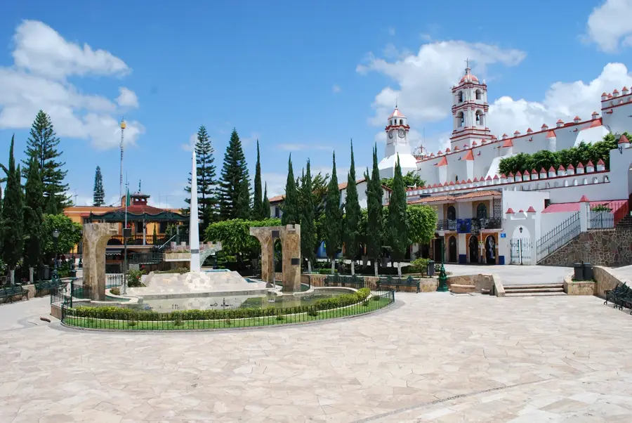
Sights in the town Valley of Mexico (9)
Sights nearby
Frequently asked questions
How best to get around?
How many days for the valley?
Is tap water drinkable?
Are there museums?
How safe is it?
Valley of Mexico: where is it located?
Valley of Mexico: what is there to see?
Valley of Mexico: when is the best time to visit?
Valley of Mexico: why is it worth visiting?

Nearby cities
More places