Plizio Visual Lab
Trans-Mexican Volcanic Belt
Weather…
Water temperature…
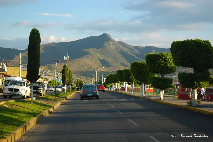
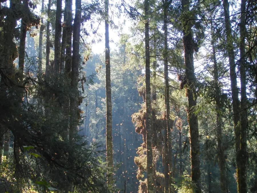
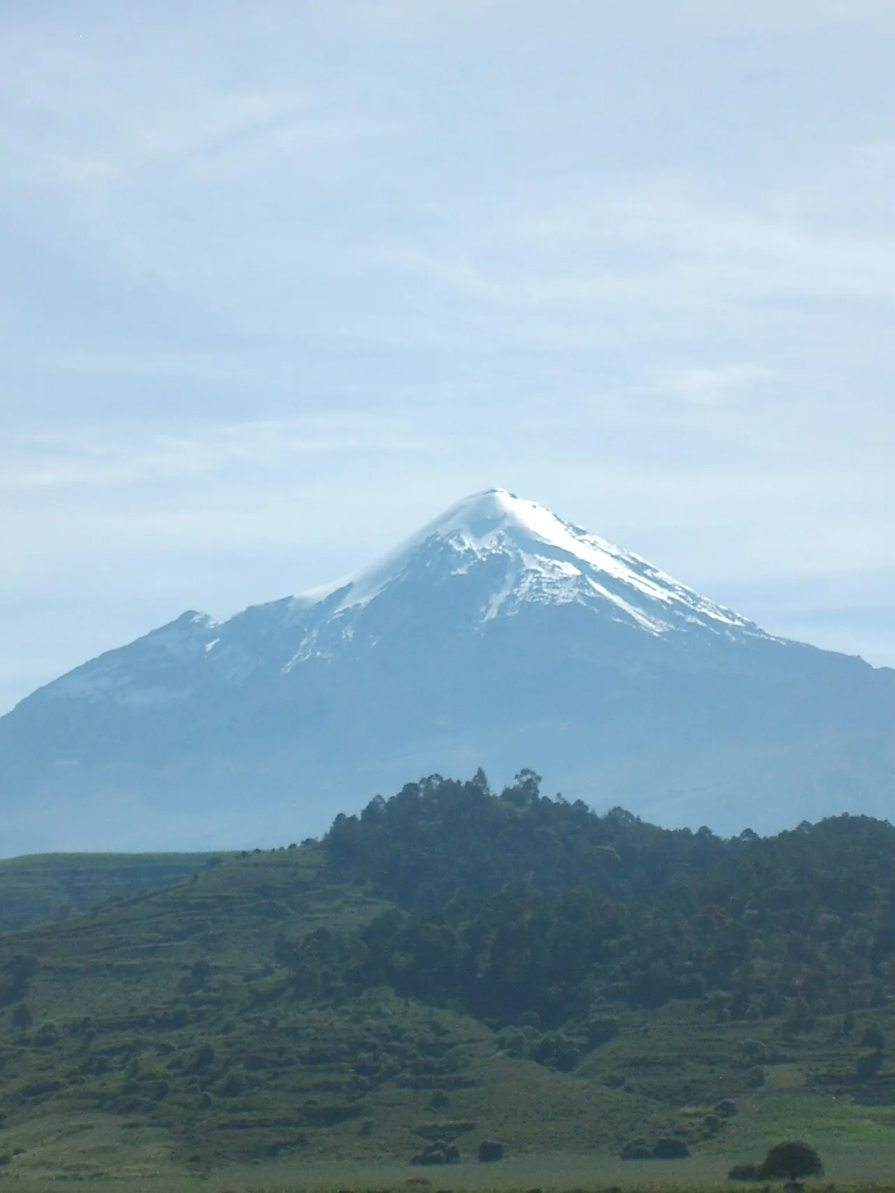
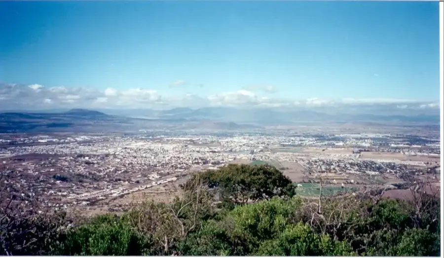
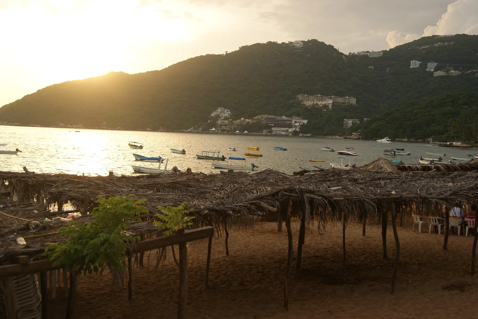
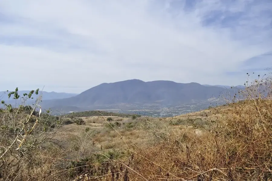
The Trans-Mexican Volcanic Belt, also known as the Eje Neovolcánico, is a massive mountain range stretching approximately 900 kilometers across central-southern Mexico from the Pacific Ocean to the Gulf of Mexico. This tectonically active belt contains the highest peaks in the country, including the 5,636-meter Pico de Orizaba and the iconic active volcano Popocatépetl. It was formed primarily during the Neogene and Quaternary periods due to the subduction of the Cocos and Rivera plates beneath the North American Plate. Beyond its stratovolcanoes, the region encompasses high plateaus and fertile basins that have been the cradle of Mexican civilizations for millennia. The belt acts as a major drainage divide and influences the climate patterns of the surrounding lowlands. Today, it remains the most densely populated area of Mexico, presenting both vital agricultural resources and ongoing geological hazards.
- Location: Mexico
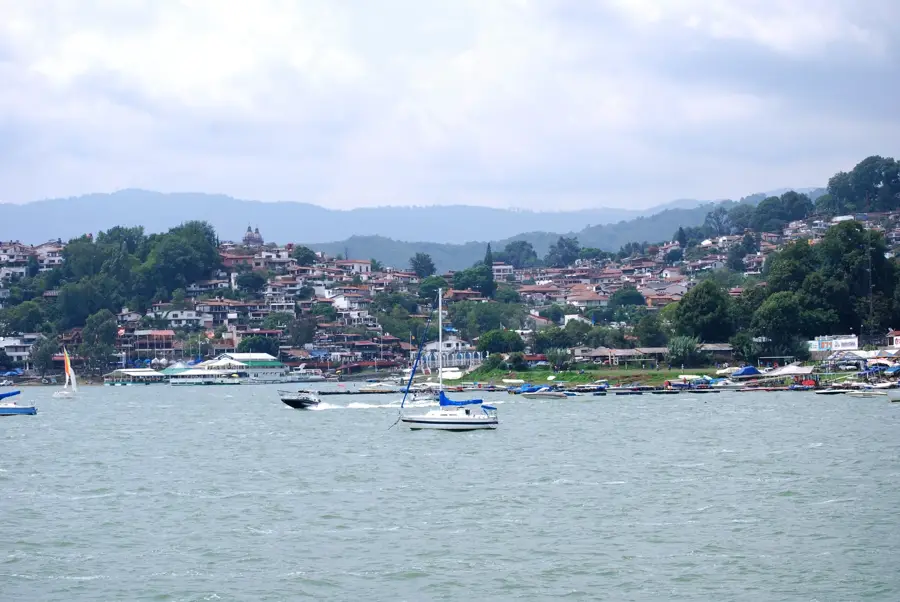
- Nearby: Valle de Bravo (16 km)
Best time to visit & climate
The most pleasant time to visit is Mar–May.
| Jan | Feb | Mar | Apr | May | Jun | Jul | Aug | Sep | Oct | Nov | Dec | |
|---|---|---|---|---|---|---|---|---|---|---|---|---|
| Avg °C | 12 | 13 | 15 | 17 | 18 | 17 | 16 | 16 | 15 | 14 | 13 | 12 |
| Rain mm | 10 | 15 | 16 | 16 | 56 | 144 | 181 | 175 | 156 | 64 | 20 | 5 |
📋 Practical info
Geography
Facts
- Pico de Orizaba is the highest peak at 5,636 meters.
- Spans 900 kilometers from Nayarit to Veracruz.
- Includes the world's youngest volcano, Parícutin, formed in 1943.
- Popocatépetl is one of the most monitored volcanoes globally.
- Formed by the subduction of the Cocos and Rivera tectonic plates.
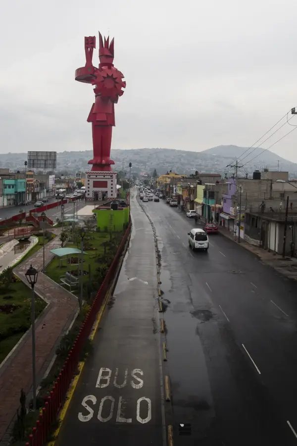
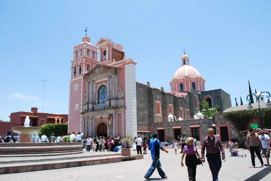
- Home to major cities including Mexico City and Puebla.
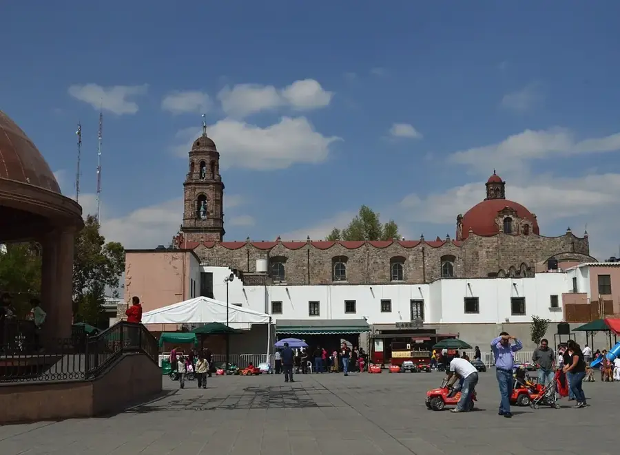
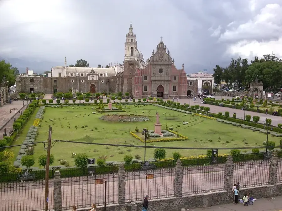
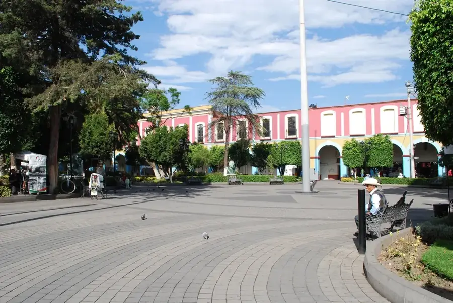
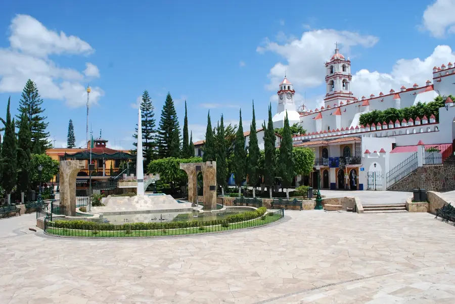
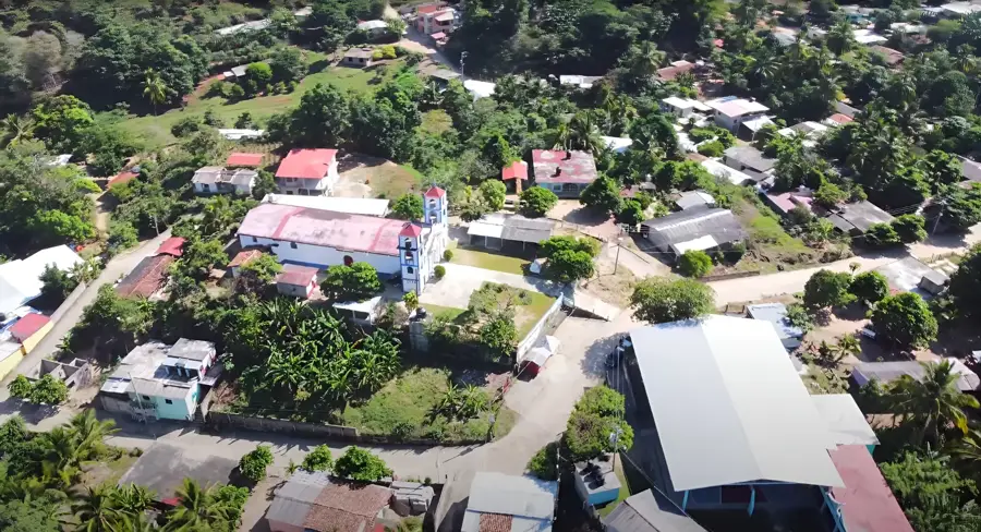
Explore nearby
Notable places around
Route planner — Car & Motorhome
Where do you start? We build the route here, with stops and country notes along the way.
© OpenStreetMap contributors · OpenRouteService
Sights nearby
Frequently asked questions
Are there many volcanoes there?
Is hiking safe?
Best time for volcanoes?
How is the infrastructure?
Do I need a car?
Trans-Mexican Volcanic Belt: where is it located?
Trans-Mexican Volcanic Belt: when is the best time to visit?
Trans-Mexican Volcanic Belt: why is it worth visiting?

Nearby cities

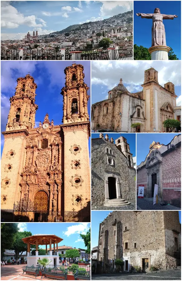
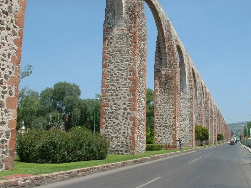
History & landmarks
More places