Plizio Visual Lab

Guelta d'Archei
Plizio editorial teamData Sources
valley
—°
Guelta d'Archei (Mauritania)

Weather…

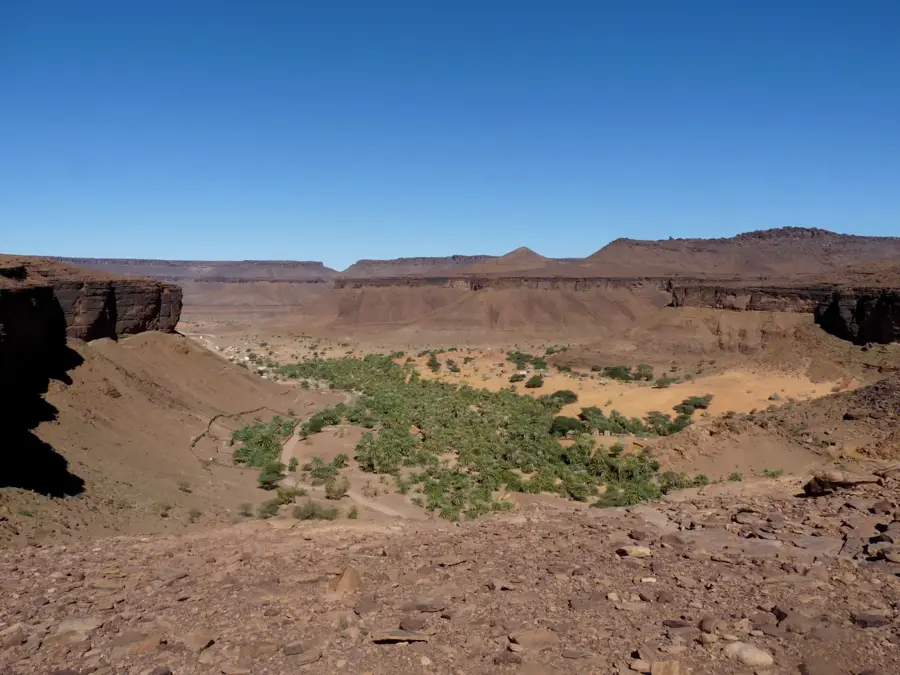
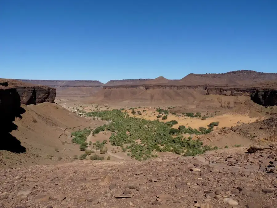
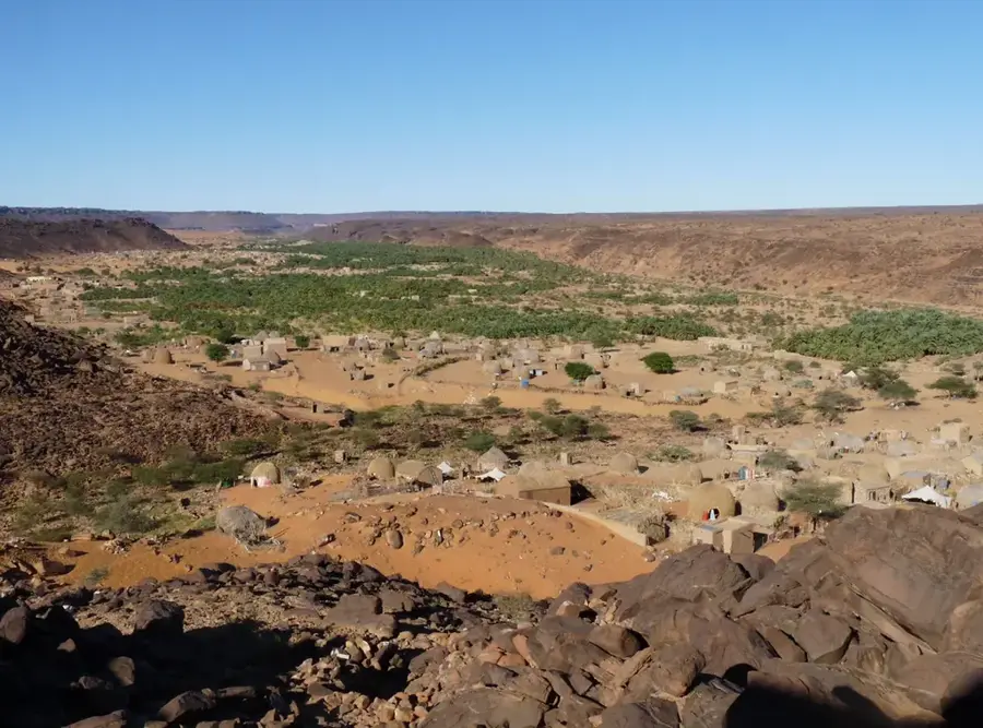
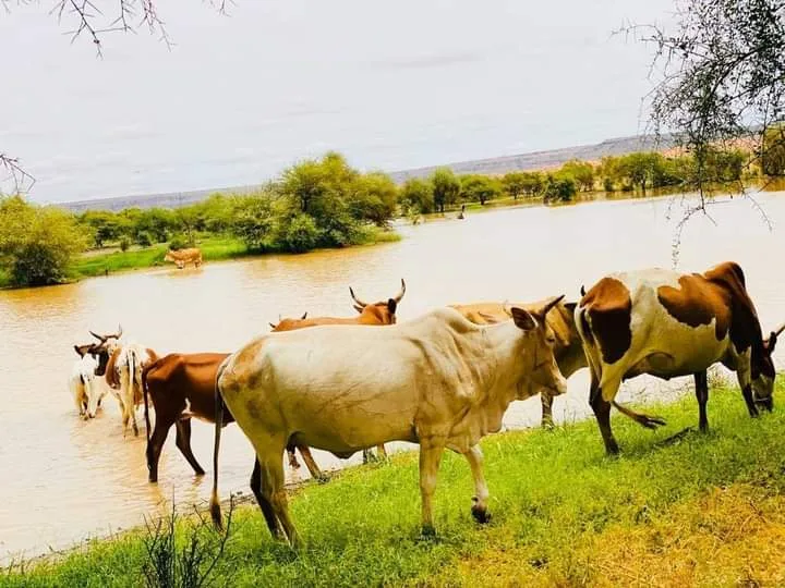
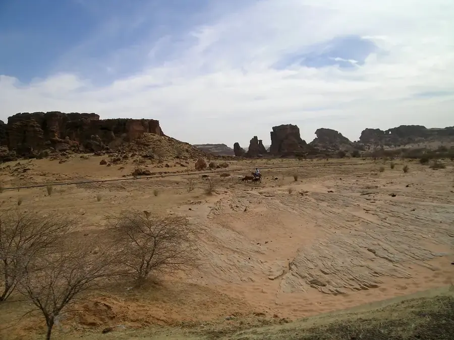
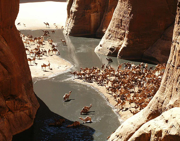
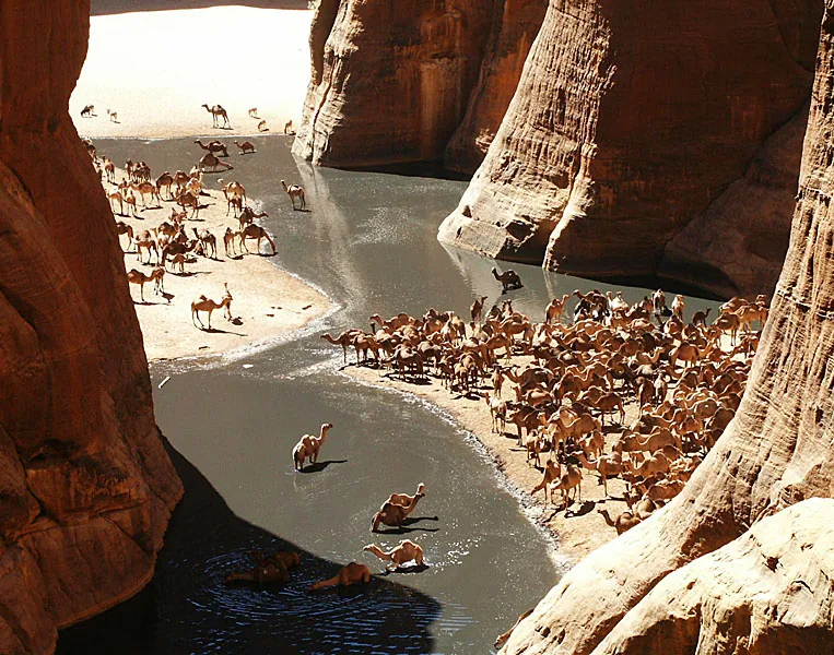
Guelta d'Archei is a true natural wonder in the heart of the Sahara, tucked away within the deep canyons of the Adrar massif. This permanent water reservoir is fed by underground seepage and remains shielded by towering walls of reddish sandstone. For millennia, it has served as a critical watering hole for massive camel caravans; it is not uncommon to see hundreds of camels crowding the dark waters, their calls echoing through the narrow rock faces. A remarkable biological feature of this guelta is the existence of one of the world's last remaining populations of desert crocodiles, surviving here in complete isolation. Reaching this remote location is an arduous journey, typically involving off-road vehicles, yet the sight of the deep water basin amidst the stark desert is unparalleled. The profound silence and nearby ancient rock art serve as reminders of a time when the Sahara was a significantly greener and more lush environment.

Explore on the map

How well do you know Mauritania?

Find cities, landscapes and regions in 10 varied challenges on the interactive map.

Start the map quiz 10 challenges

Your journey, your memory

A postcard from Guelta d'Archei

Turn your own photo into a personal postcard with a local stamp. Free and no sign-up required.

Create a postcard

Best time to visit & climate

The most pleasant time to visit is Jan, Feb, Dec.

JanFebMarAprMayJunJulAugSepOctNovDec
Avg °C192226303335343433312521
Rain mm1131041440272410

📋 Practical info

🧭
Getting there
Accessing this secluded oasis within the Adrar massif demands utilizing an experienced local guide and a highly capable 4x4 vehicle. The route weaves through unforgiving, deeply rutted rocky valleys, making independent travel without expert navigational support exceptionally difficult.
📅
Best season
The convenient time to explore the hidden basin is strongly concentrated in the winter months, typically from November through late February. Outside this window, the valley acts like a solar oven, multiplying the intense desert heat and making the trek dangerously exhausting for anyone.
⛰️
Terrain & paths
The final approach requires an adventurous hike through a narrow gorge filled with massive boulders, loose scree, and patches of deep sand. There are absolutely no maintained trails, requiring visitors to confidently scramble over natural obstacles to reach the shaded water's edge.
🎒
What to bring
Durable, ankle-supporting hiking boots are essential to safely traverse the unpredictable jumble of fallen rocks within the gorge. Given the high contrast between the searing open desert and the shaded valley, carrying layers of clothing, strong sunblock, and copious water is vital.
🅿️
Parking
Organized parking is nonexistent; drivers carefully choose stable, flat ground near the entrance of the gorge, ensuring vehicles will not sink into soft sand. From this makeshift base camp, visitors must proceed entirely on foot, leaving the vehicles completely behind in the desert.
⚠️
Safety
Flash floods, though very rare, can be catastrophic in these narrow canyons, so always monitor regional weather before entering. Additionally, falling rocks from the high cliff walls are a constant natural hazard, meaning visitors should move cautiously and avoid shouting loudly.
⏱️
Time needed
The physical hike into the gorge, spending time observing the serene water basin, and returning to the vehicles usually requires around three hours. Most groups plan to spend a relaxed half-day at this remarkable site to fully absorb the dramatic, contrasting scenery of the Adrar massif.

Geography

Coordinates
19.10000, -13.00000

Facts

  • Permanent water reservoir in a hyper-arid environment
  • Sustained by ancient underground springs
  • Home to relict populations of the West African crocodile
  • Crucial watering hole for thousands of desert camels
  • High canyon walls provide shade from direct sunlight
  • Surrounding cliffs often feature ancient rock art

Explore nearby

Notable places around
Route planner — Car & Motorhome

Where do you start? We build the route here, with stops and country notes along the way.

Vehicle
Only stops with (optional):
Motorhome dimensions

© OpenStreetMap contributors · OpenRouteService

Sights nearby

Frequently asked questions

What is Guelta d'Archei?
A famous waterhole between impressive rock walls.
Are there crocodiles there?
Yes, one of the last populations in the desert.
Can you swim there?
Absolutely not, due to crocodiles and water quality.
When to visit?
Early in the morning for the best light for photography.
Is the place hard to reach?
Yes, very remote and only doable with 4x4 and GPS.
Guelta d'Archei: where is it located?
Guelta d'Archei is located in Mauritania.
Guelta d'Archei: when is the best time to visit?
The most pleasant time to visit is Jan, Feb, Dec.
Guelta d'Archei: why is it worth visiting?

Guelta d'Archei is a true natural wonder in the heart of the Sahara, tucked away within the deep canyons of the Adrar massif.
View on map → The Top 50 Attractions → OpenStreetMap →
Africa
Explore with Plizio Discover more places in Africa
More places in Mauritania →

Nearby cities

History & landmarks

Nature

More places