Plizio Visual Lab
Dhar Oualata

Weather…
Water temperature…
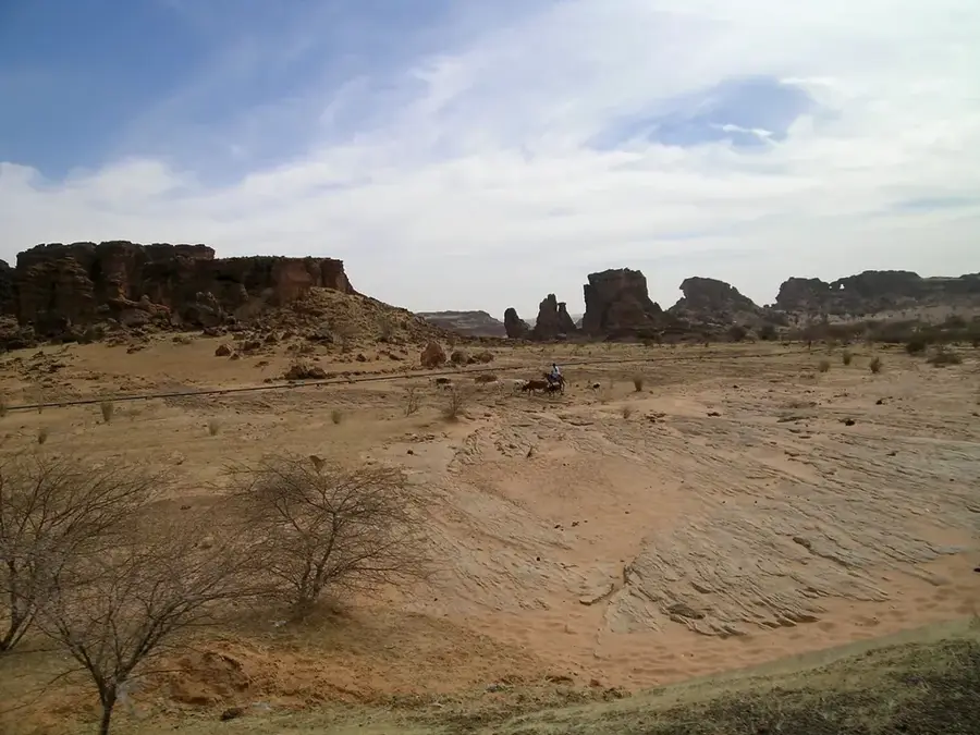
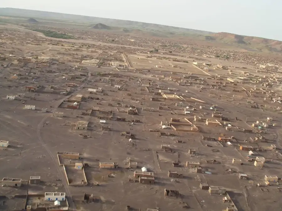
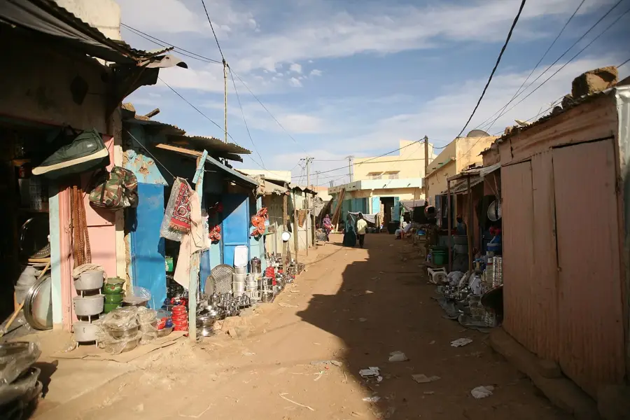
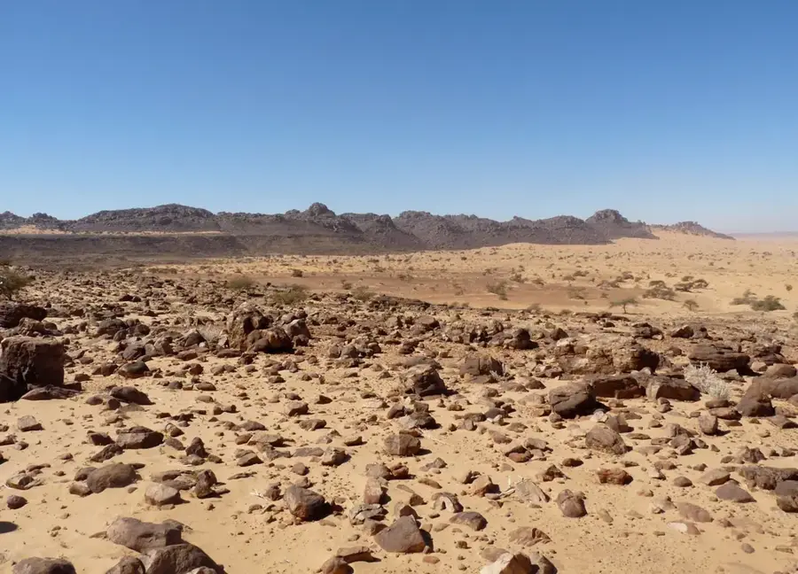
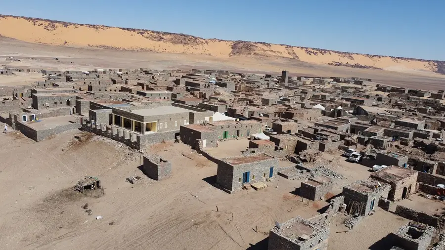
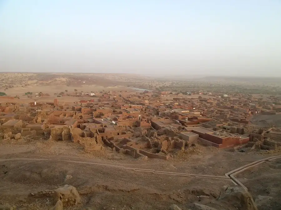
Dhar Oualata is a massive sandstone escarpment in southeastern Mauritania that rises sharply above the surrounding desert floor. This geological formation serves as a natural boundary between the arid Sahara and the transitional Sahel zone to the south. The ridge is closely associated with the historic town of Oualata, a UNESCO World Heritage site known for its ancient trade connections. Archaeological evidence found along the cliffs, including rock art and ruins of dry-stone settlements, points to a long history of human habitation dating back to the Neolithic era when the region enjoyed a wetter climate. The terrain is characterized by rugged slopes and plateau-like summits that offer expansive views of the shifting sand dunes below. Despite the harsh modern climate, the area remains a significant landmark for nomadic herders and a place of great interest for those studying the environmental changes of the African continent. The erosion patterns on the rock faces provide a visual record of thousands of years of wind and sand activity.
Explore on the map
How well do you know Mauritania?
Find cities, landscapes and regions in 10 varied challenges on the interactive map.
Your journey, your memory
A postcard from Dhar Oualata
Turn your own photo into a personal postcard with a local stamp. Free and no sign-up required.
Create a postcard- Location: Mauritania
- Nearby: Néma (27 km)
Best time to visit & climate
The most pleasant time to visit is Jan, Feb, Dec.
| Jan | Feb | Mar | Apr | May | Jun | Jul | Aug | Sep | Oct | Nov | Dec | |
|---|---|---|---|---|---|---|---|---|---|---|---|---|
| Avg °C | 20 | 23 | 27 | 31 | 34 | 35 | 32 | 29 | 29 | 29 | 25 | 21 |
| Rain mm | 0 | 1 | 1 | 1 | 9 | 21 | 83 | 137 | 65 | 8 | 0 | 0 |
📋 Practical info
Geography
Facts
- Part of the UNESCO World Heritage region of Oualata
- Composed mainly of sedimentary sandstone rock
- Served as a defensive rampart for ancient villages
- Site of discovery for numerous Neolithic tools
- Provides extensive views over the Hodh Basin
- Crucial landmark for caravans traveling to Mali
Explore nearby
Notable places around
Route planner — Car & Motorhome
Where do you start? We build the route here, with stops and country notes along the way.
© OpenStreetMap contributors · OpenRouteService
Sights nearby
Frequently asked questions
What is Dhar Oualata?
Are there hiking trails there?
Best time for a photo?
Are there restaurants here?
Is it family-friendly?
Dhar Oualata: where is it located?
Dhar Oualata: when is the best time to visit?
Dhar Oualata: why is it worth visiting?

Nearby cities