Plizio Visual Lab
Port of Morondava

Weather…
Water temperature…
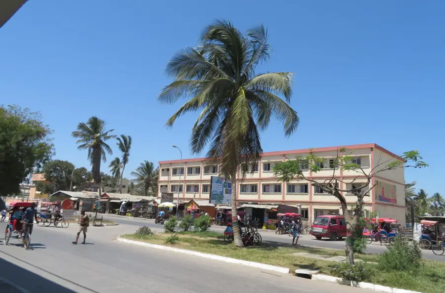
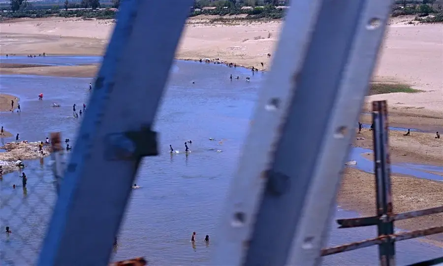
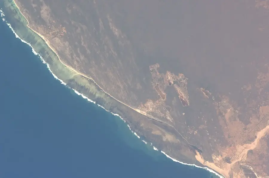
The Port of Morondava on Madagascar's western coast is the central economic hub for the Menabe region. It traditionally serves as a vital transshipment point for agricultural goods and stands at the heart of the local fishing industry. A unique feature of the port is its fleet of traditional wooden sailing vessels, known as 'boutres,' which dominate coastal transport in areas where roads are frequently impassable. Morondava is also a major center for the export of wild-caught shrimp, harvested from the nutrient-rich waters of the Mozambique Channel. The port is sheltered by a shifting sandbar, which limits access for large ocean-going vessels and necessitates regular dredging operations. Despite these geographical hurdles, it remains essential for supplying the region with fuel and construction materials. The port area also serves as a cultural meeting point where the maritime traditions of the Sakalava people are preserved. Future expansion plans aim to better integrate logistics with the growing regional tourism sector.
Explore on the map
How well do you know Madagascar?
Find cities, landscapes and regions in 10 varied challenges on the interactive map.
Your journey, your memory
A postcard from Port of Morondava
Turn your own photo into a personal postcard with a local stamp. Free and no sign-up required.
Create a postcard- Location: Madagascar
- Nearby: Belo sur Tsiribihina (71 km)
Best time to visit & climate
The most pleasant time to visit is Jun–Aug.
| Jan | Feb | Mar | Apr | May | Jun | Jul | Aug | Sep | Oct | Nov | Dec | |
|---|---|---|---|---|---|---|---|---|---|---|---|---|
| Avg °C | 28 | 27 | 27 | 26 | 25 | 23 | 23 | 24 | 26 | 28 | 29 | 29 |
| Rain mm | 307 | 196 | 125 | 44 | 13 | 8 | 5 | 4 | 14 | 26 | 56 | 143 |
📋 Practical info
Geography
Facts
- Morondava serves as the base for the 'Pêcheries de Nosy Be' shrimp fleet.
- The port relies on traditional dhows (boutres) for regional coastal trade.
- Siltation of the Hellot Channel is a persistent challenge for larger vessels.
- Key exports include rice, maize, and high-quality dried fish.
- The port is the primary logistics gateway for the Menabe administrative region.
- Maritime infrastructure was first established during the colonial era.
Explore nearby
Notable places around

Route planner — Car & Motorhome
Where do you start? We build the route here, with stops and country notes along the way.
© OpenStreetMap contributors · OpenRouteService
Sights in the town Port of Morondava (1)
Sights nearby
Frequently asked questions
What is the importance of the port of Morondava?
Is Morondava a tourist destination?
When should one visit Morondava?
What is the Alley of the Baobabs?
How is the journey?
Port of Morondava: where is it located?
Port of Morondava: when is the best time to visit?
Port of Morondava: why is it worth visiting?

Nearby cities
History & landmarks
More places