Plizio Visual Lab
Nyambene Hills

Weather…
Water temperature…
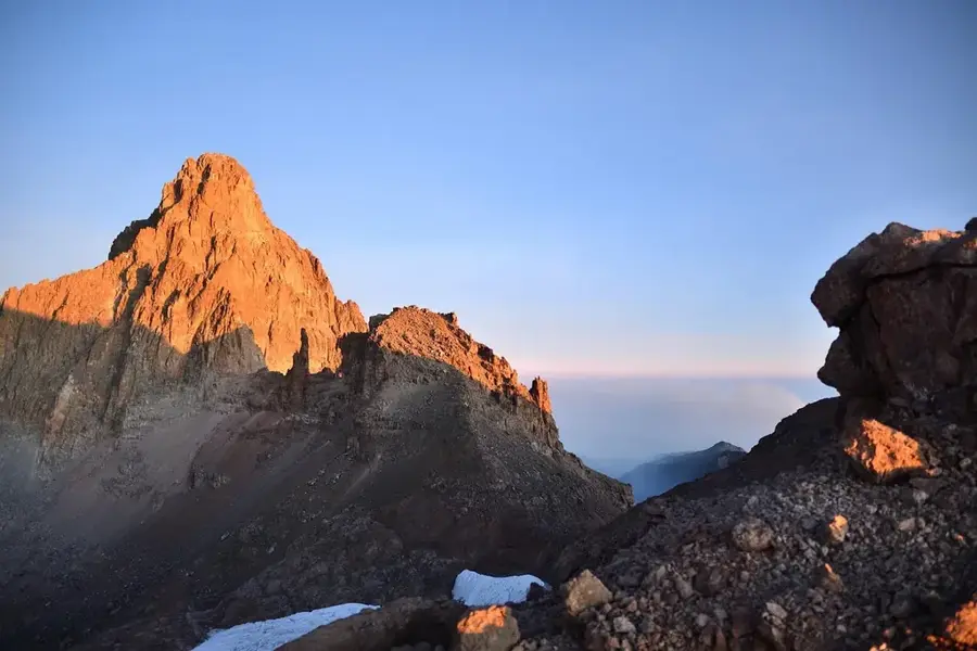
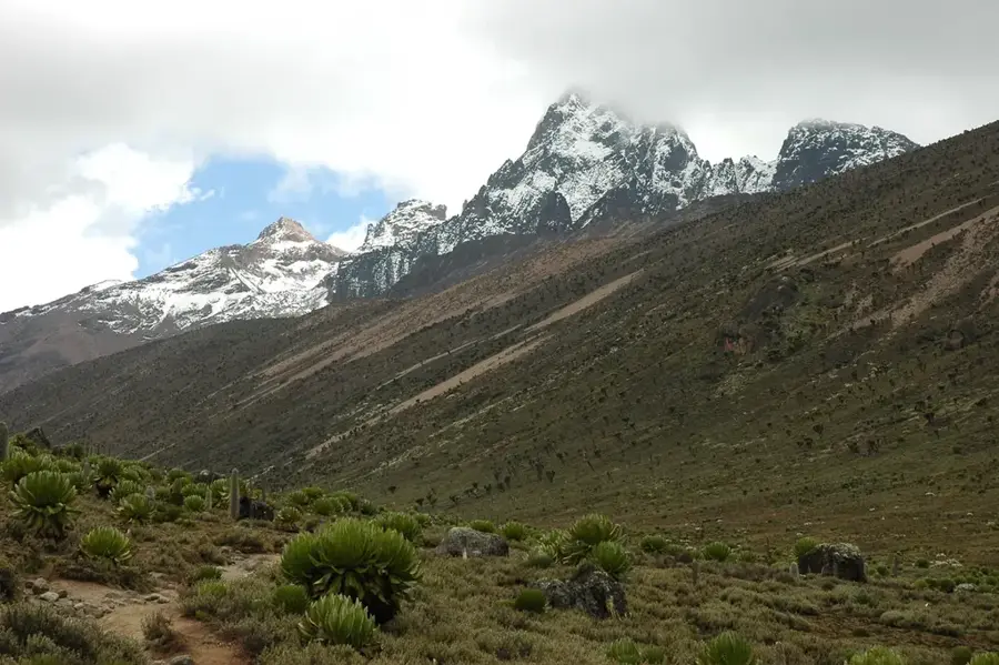
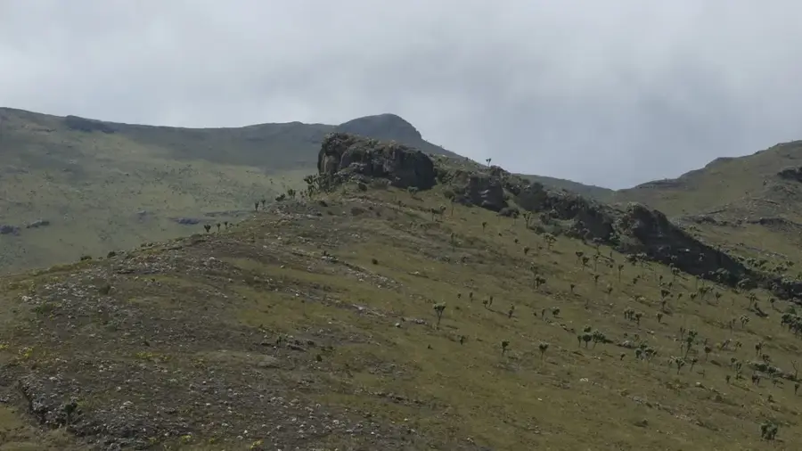
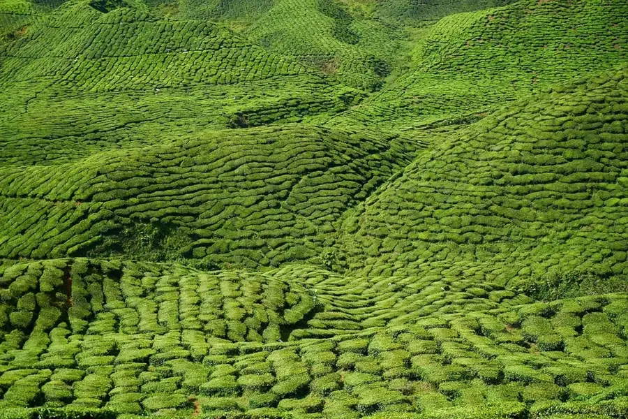
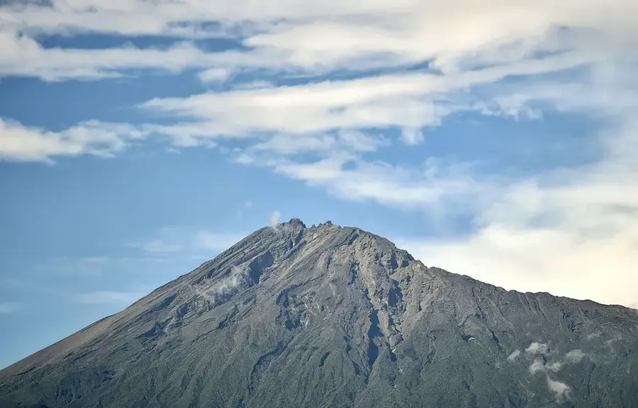
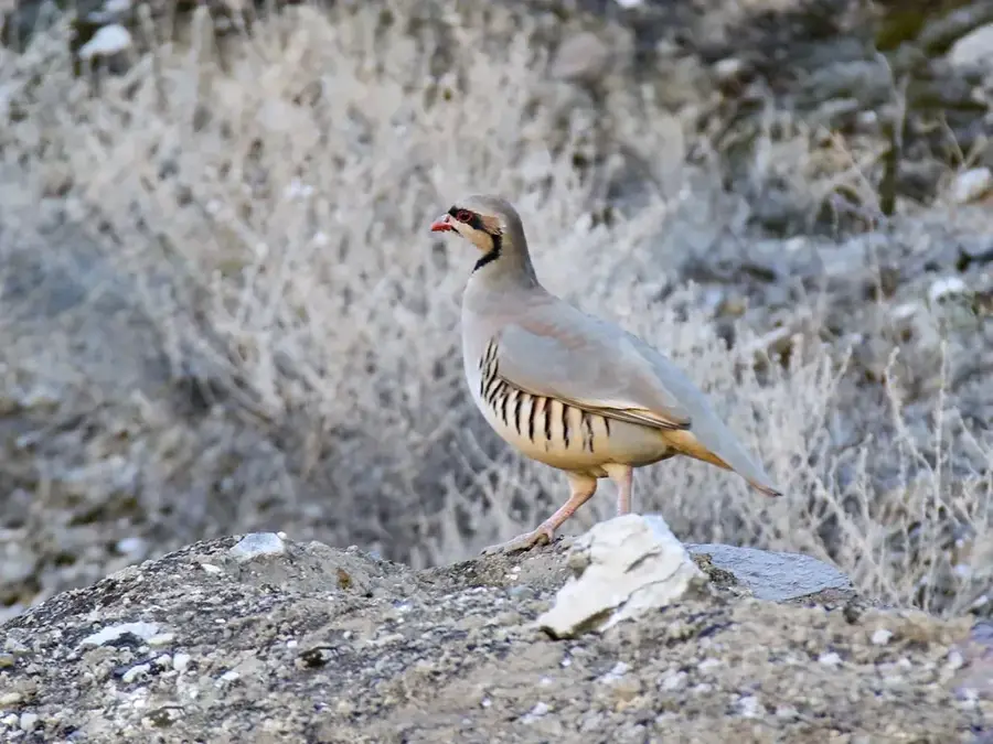
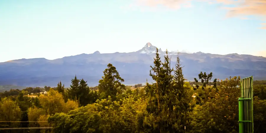
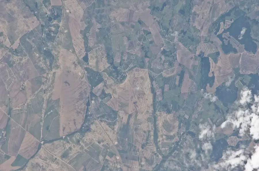
The Nyambene Hills are a volcanic mountain range located northeast of Mount Kenya in Meru County. The range extends for approximately 50 kilometers in a northeasterly direction, reaching an elevation of about 2,500 meters at its highest point. Geologically, the hills consist of basaltic and phonolitic lava flows that originated during the Pliocene and Pleistocene epochs. The region serves as a critical water catchment area for the Ewaso Ng'iro River to the north and the Tana River to the south, making it indispensable for agriculture in central Kenya. The Nyambene Hills are particularly famous for the large-scale cultivation of Miraa (Khat), which is a vital economic commodity for the local Igembe and Tigania sub-groups of the Meru people. The moist microclimate of the higher elevations also supports the growth of tea and coffee, while the lower slopes are utilized for livestock grazing. The dense vegetation and steep terrain provide a habitat for various bird species and small mammals.
- Location: Kenya
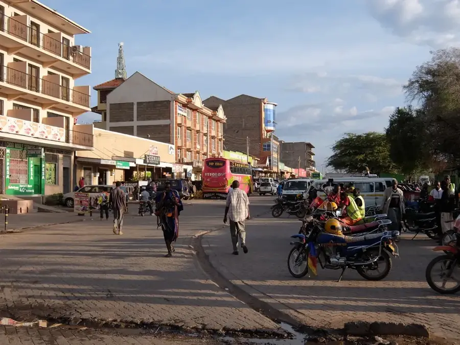
- Nearby: Meru (22 km)
Best time to visit & climate
The most pleasant time to visit is Jun–Aug.
| Jan | Feb | Mar | Apr | May | Jun | Jul | Aug | Sep | Oct | Nov | Dec | |
|---|---|---|---|---|---|---|---|---|---|---|---|---|
| Avg °C | 26 | 27 | 27 | 26 | 26 | 25 | 25 | 25 | 26 | 26 | 25 | 25 |
| Rain mm | 28 | 14 | 41 | 115 | 45 | 12 | 11 | 13 | 11 | 65 | 127 | 68 |
📋 Practical info
Geography
Facts
- The highest elevation in the Nyambene Hills is approximately 2,514 meters.
- The range is considered part of the broader Mount Kenya volcanic province.
- Miraa from this region is exported to countries in the Horn of Africa and formerly to parts of Europe.
- Igembe South district serves as the core area for agricultural production within the hills.
- Volcanic cones and occasional crater lakes are scattered throughout the range.
- Rainfall in the hills can reach as high as 1,500 mm per year due to orographic effects.
Explore nearby
Notable places around
Route planner — Car & Motorhome
Where do you start? We build the route here, with stops and country notes along the way.
© OpenStreetMap contributors · OpenRouteService
Sights nearby
Frequently asked questions
What are the Nyambene Hills known for?
What is the climate like in this region?
Can the hills be accessed with a normal car?
Are there any dangers from wildlife?
When is the best time to visit the hills?
Nyambene Hills: where is it located?
Nyambene Hills: when is the best time to visit?
Nyambene Hills: why is it worth visiting?

Nearby cities


History & landmarks
Nature
More places