Plizio Visual Lab
Runyenjes
ℹ️Practical info — Runyenjes
▾
🌤 Weather — 5 days
📍 Nearby
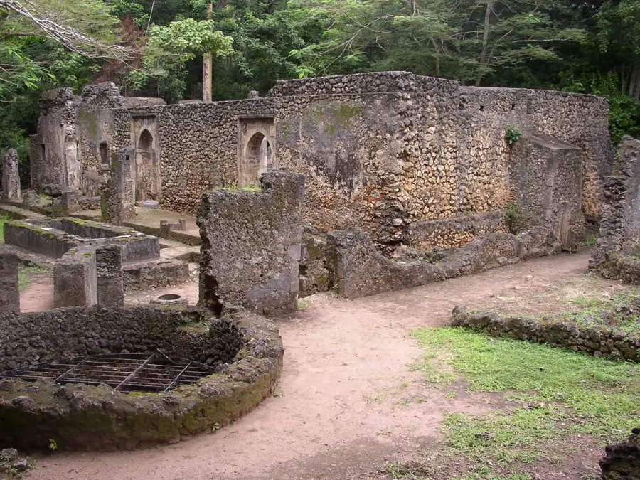
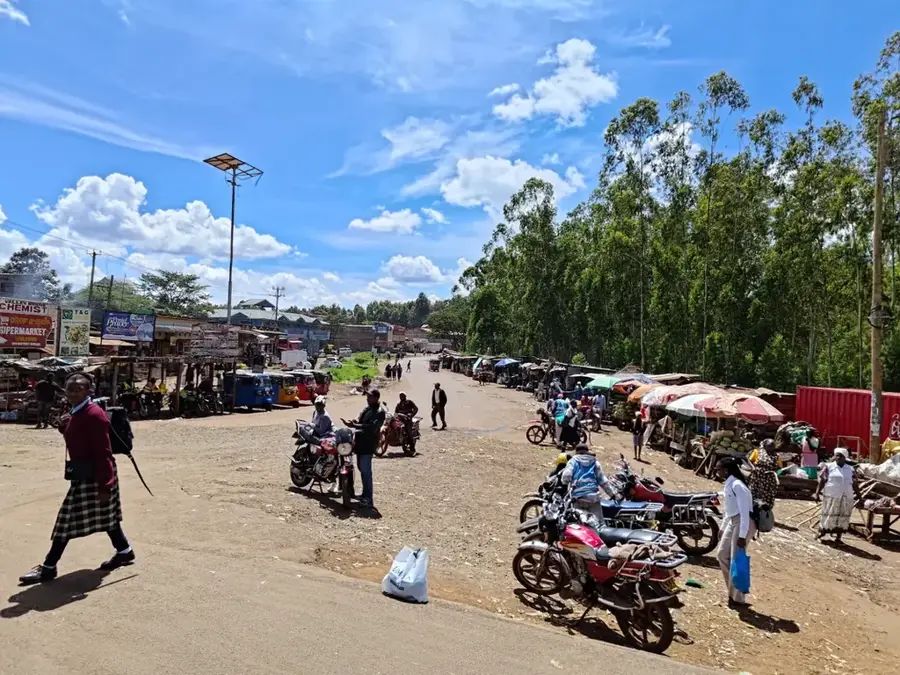
Sights nearby
💡 Tips
- Runyenjes sits on steep, hilly terrain; comfortable walking shoes with good grip are essential.
- The town is deeply agricultural, producing some of Kenya's finest coffee and macadamia nuts.
- Weather can change rapidly due to its location on the slopes of Mount Kenya, so carry a light rain jacket.
- It's a great spot to pause and stretch your legs if you're exploring the broader Embu County.
🍽 Food
Sip incredibly fresh coffee brewed straight from the local cooperative's beans.
Buy freshly roasted macadamia nuts from local vendors, they are a regional specialty.
A nutritious and filling traditional dish of boiled maize and beans, readily served in town.
🛍 Shopping · 🧘 Quiet spots
Purchase unroasted or roasted beans directly from the source to take home.
Explore the lively local market for incredibly fresh avocados, bananas, and local vegetables.
Wandering paths through the lush, green coffee estates offer deep tranquility and beautiful scenery.
Descend into the valleys nearby for the soothing sound of flowing water and cool forest shade.
Water temperature…
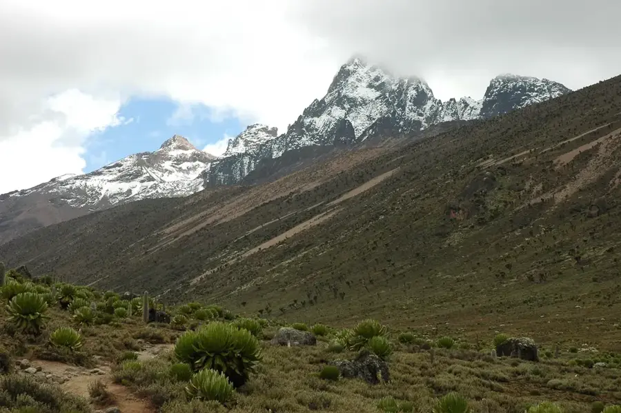
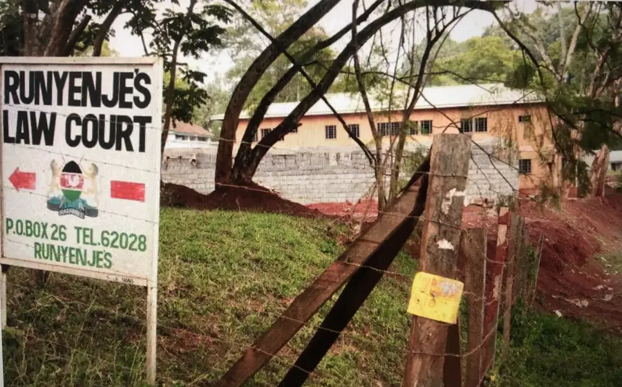
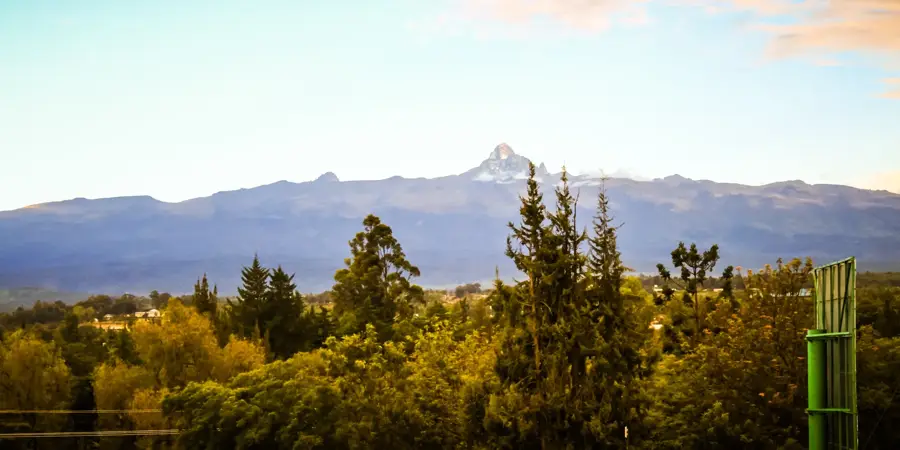
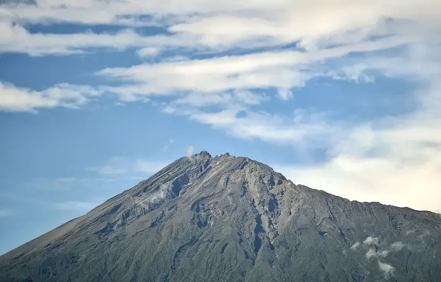
Runyenjes is a significant market town in Embu County, located on the southeastern slopes of Mount Kenya. The town is situated in an ecologically rich zone where high rainfall and fertile volcanic soils make it well-suited for the cultivation of premium tea and coffee. Runyenjes serves as a vital commercial and administrative hub for the surrounding rural population and is renowned for its bustling open-air markets. Geographically, the town provides dramatic views of the Mount Kenya massif and often serves as a gateway for hikers and expeditions heading into the national park. The region is also abundant in water resources, with numerous rivers and streams flowing from the mountain to support local farming and small-scale hydroelectric projects. Culturally, the town is deeply rooted in the traditions of the Embu people, which is evident in the local social structures and architecture. Recently, Runyenjes has benefited from infrastructure upgrades that have improved its connectivity to Nairobi and other regional centers like Meru.
- Location: Kenya
- Nearby: Chuka (13 km)
- Population: ~4.943 (2024)
Best time to visit & climate
The most pleasant time to visit is Jan, Feb, Sep.
| Jan | Feb | Mar | Apr | May | Jun | Jul | Aug | Sep | Oct | Nov | Dec | |
|---|---|---|---|---|---|---|---|---|---|---|---|---|
| Avg °C | 21 | 22 | 22 | 21 | 20 | 19 | 19 | 19 | 20 | 21 | 20 | 20 |
| Rain mm | 42 | 29 | 82 | 183 | 106 | 50 | 45 | 57 | 49 | 105 | 149 | 83 |
Geography
Facts
- Located on the lower slopes of Mount Kenya
- Hub for high-quality tea and coffee production
- Strategic commercial center in Embu County
- High annual rainfall supports lush agriculture
- Gateway for expeditions to Mount Kenya National Park
- Abundant in natural rivers and mountain streams
Explore nearby
Notable places around
Route planner — Car & Motorhome
Where do you start? We build the route here, with stops and country notes along the way.
© OpenStreetMap contributors · OpenRouteService
Frequently asked questions
Where is Runyenjes located?
What is mainly grown in Runyenjes?
Is Runyenjes interesting for tourists?
What is the infrastructure like?
Which community lives here?
Runyenjes: where is it located?
Runyenjes: when is the best time to visit?
Runyenjes: why is it worth visiting?

Nearby cities
History & landmarks
More places