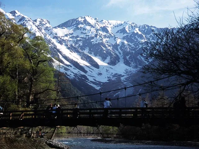
Plizio Visual Lab

Japanese Alps

Plizio editorial teamData Sources
Mountain
—°4
Japanese Alps (Japan)

Weather…

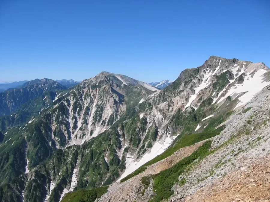
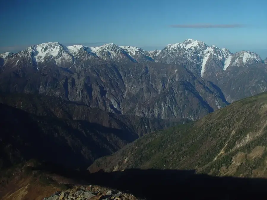
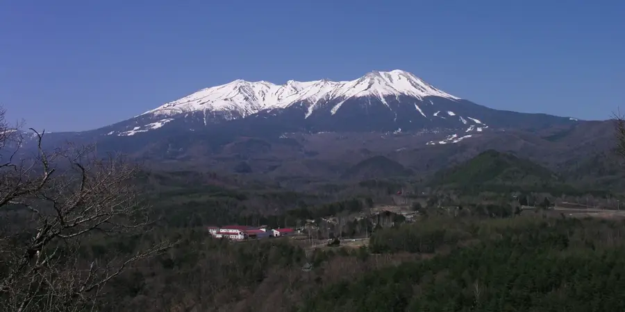
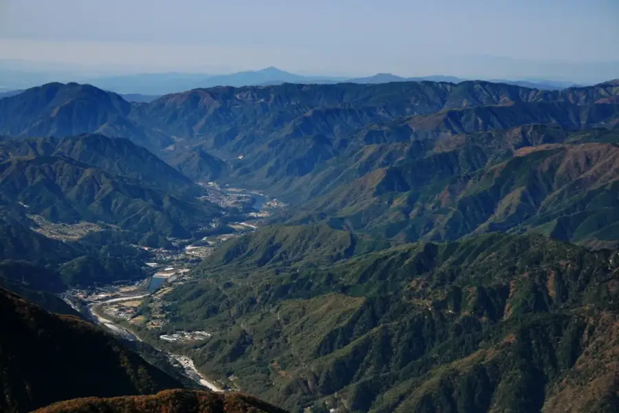
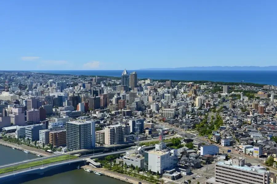
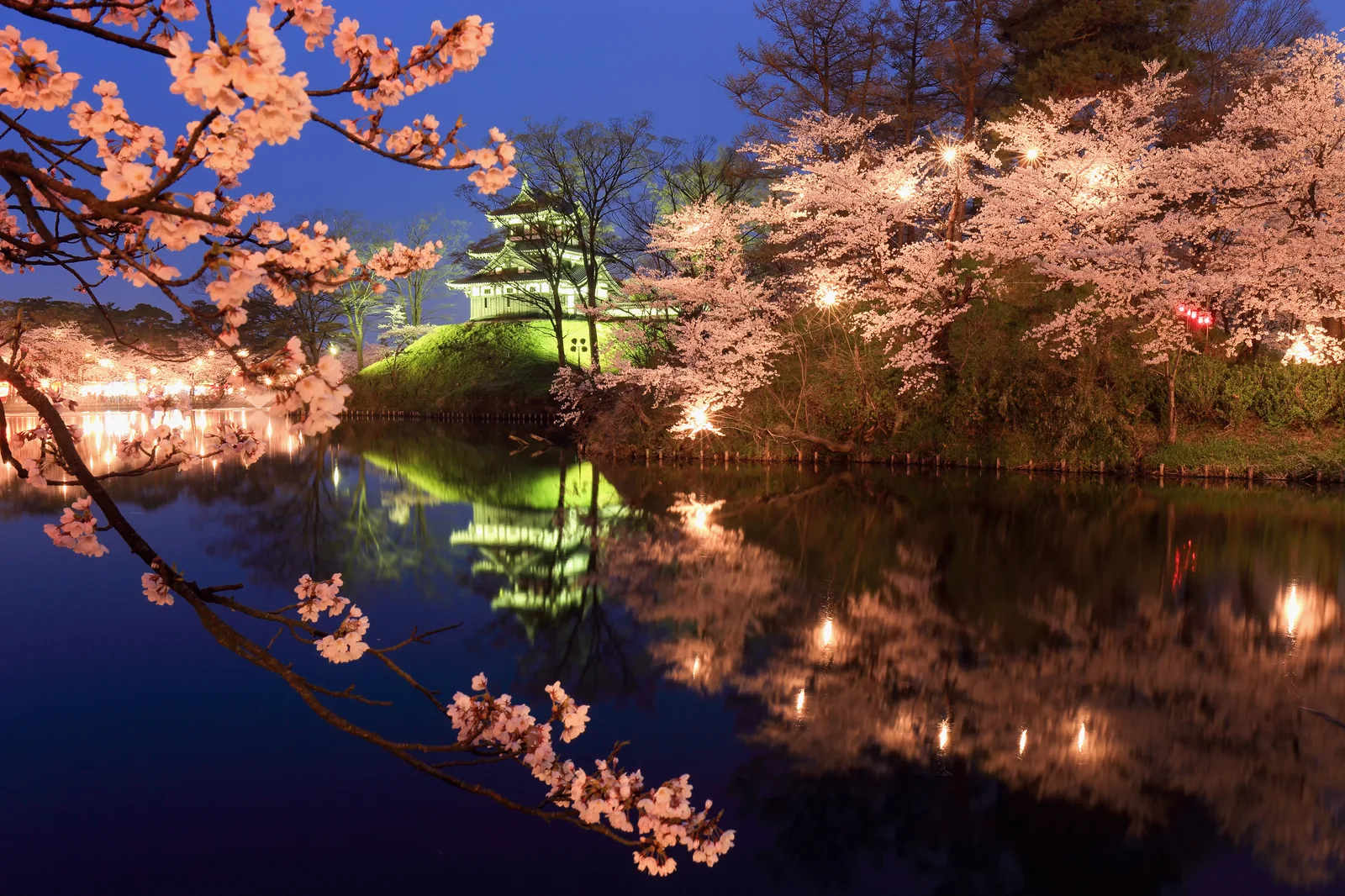
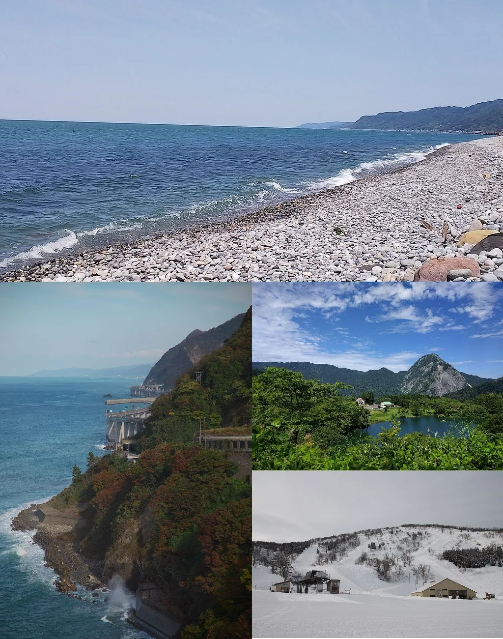
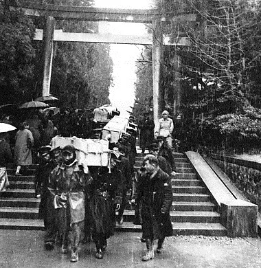
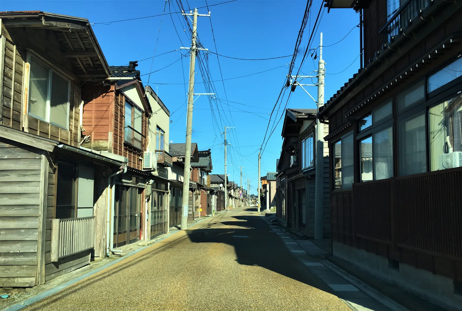
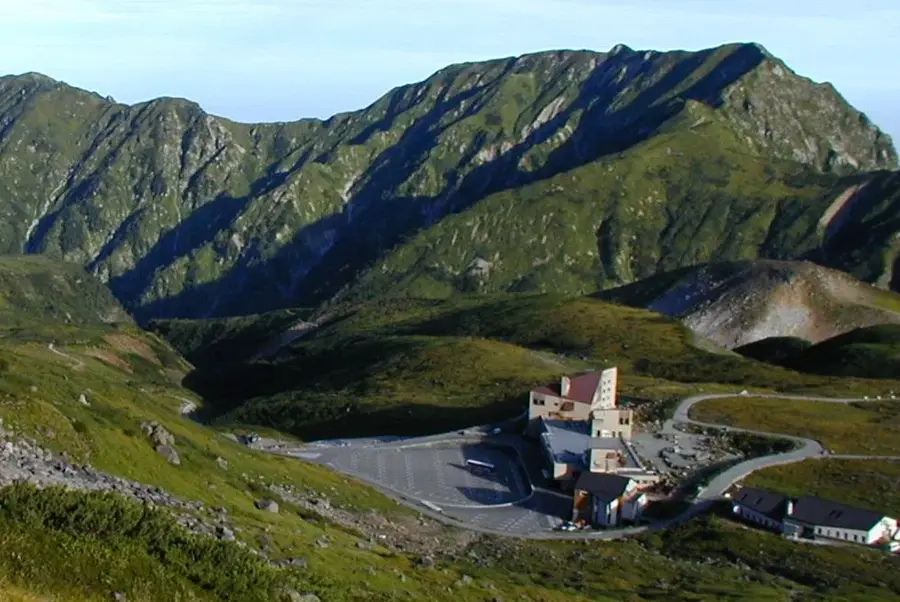
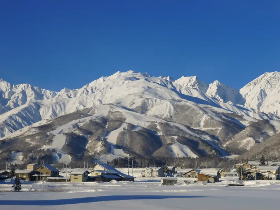
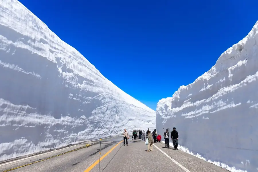
Japanese Alps is a remarkable feature of the geography and culture of Japan. A series of mountain ranges in central Honshū, comprising the Hida, Kiso, and Akaishi Mountains. A popular destination for hiking and skiing. Highest peak: Mount Hotaka (3,190 m). Includes several national parks. The name was popularized by Walter Weston. This landform shapes the topography of Japan, between the main islands of Honshu, Hokkaido, Kyushu, and Shikoku, dominated by volcanic mountain ranges. Like many notable places in Japan, it combines regional character with the legacy of the samurai tradition, Shinto and Buddhist heritage, and the modern industrial nation. Thus, this place contributes to the diverse profile of Japan, from Mount Fuji and Tokyo to the volcanic island arc along the Pacific.

Best time to visit & climate

The most pleasant time to visit is Jun–Aug.

JanFebMarAprMayJunJulAugSepOctNovDec
Avg °C-5-5-161216202117104-2
Rain mm158108121112110147226162181159143184

📋 Practical info

🧭
Getting there
The Japanese Alps are excellently accessible by Shinkansen train from Tokyo or Nagoya. From stations such as Nagano, Matsumoto, or Toyama, buses lead directly into the national parks and popular hiking areas like Kamikochi.
📅
Best season
July to September is handy for hiking, while the skiing season typically lasts from December to March. Spring and autumn offer beautiful cherry blossoms or fall foliage, though snow often lingers on the high ridges during these times.
⛰️
Terrain & paths
The terrain is high alpine and demanding, featuring steep ascents and prominent ridges. There are well-maintained hiking trails in the valleys as well as technically difficult routes for experienced mountaineers in the summit regions.
🎒
What to bring
Professional hiking gear, including sturdy mountain boots and weatherproof layered clothing, is necessary. Mountaineers should also carry navigation tools and, in some areas, bear bells to keep wildlife at a safe distance.
🅿️
Parking
At major gateways like Kamikochi, there are large parking lots in the valley from which shuttle buses run into the protected area. Direct parking at trailheads is often restricted to protect the fragile alpine environment from pollution.
⚠️
Safety
Sudden weather changes and thunderstorms are real dangers at high elevations; checking current weather reports is vital. Hikers must assess their stamina realistically and watch for warning signs in volcanically active zones.
⏱️
Time needed
Day trips to viewpoints are possible, but for true mountain experiences, plan 2 to 5 days for hut-to-hut hiking circuits. Many visitors also engage in longer trekking tours from peak to peak spanning several weeks during the summer.

Geography

Coordinates
36.25700, 137.64600

Facts

  • A series of mountain ranges in central Honshū, comprising the Hida, Kiso, and Akaishi Mountains. A popular destination for hiking and skiing.
  • Located within the island nation of Japan in the North Pacific.
  • Plays a role in the local identity of the region.
  • Known for its scenic or cultural significance.

Explore nearby

Notable places around

Route planner — Car & Motorhome

Where do you start? We build the route here, with stops and country notes along the way.

Vehicle
Only stops with (optional):

© OpenStreetMap contributors · OpenRouteService

Sights in the town Japanese Alps (4)

Miount Ohtaki🌿 nature

A high peak in the Northern Alps situated along a trekking route that features sweeping views of the Azusa River.

Mount Cho🌿 nature

Famous for its broad, flat summit, this peak provides one of the best panoramas of the entire Hotaka mountain range.

Mount Mae-Hotaka🌿 nature

A rugged peak in the Hotaka massif characterized by its massive rocky cliffs and steep climbing routes.

Hotaka Okumiya Shrine📍 landmark

A sacred Shinto shrine situated in the upper Kamikochi valley on the edge of the mystical Myojin Pond.

💶

Sights nearby

Frequently asked questions

How are the Japanese Alps divided?
They consist of three mountain ranges: the Northern (Hida), Central (Kiso), and Southern Alps (Akashi).
When is there snow in the Alps?
Snow typically lasts from November to May. High-altitude routes like Tateyama-Kurobe feature snow walls until June.
Are there cable cars for non-hikers?
Yes, cable cars like Shin-Hotaka and Komagatake offer spectacular mountain views without the need for strenuous hiking.
What is the Tateyama Kurobe Alpine Route?
A unique sightseeing route through the Northern Alps, traversed by various modes of transport including cable cars and buses.
Are the Japanese Alps beautiful in autumn?
Yes, the autumn foliage (koyo) in October is one of the best times to visit, especially in areas like Kamikōchi.
Japanese Alps: where is it located?
Japanese Alps is located in Japan.
Japanese Alps: what is there to see?
Highlights include Miount Ohtaki, Mount Cho, Mount Mae-Hotaka.
Japanese Alps: when is the best time to visit?
The most pleasant time to visit is Jun, Aug.
Japanese Alps: why is it worth visiting?
Japanese Alps is a remarkable feature of the geography and culture of Japan.
View on map → The Top 50 Attractions → OpenStreetMap →
Asia
Explore with Plizio Discover more places in Asia
More places in Japan →

Nearby cities

History & landmarks

Nature

More places