Plizio Visual Lab
Mount Yari

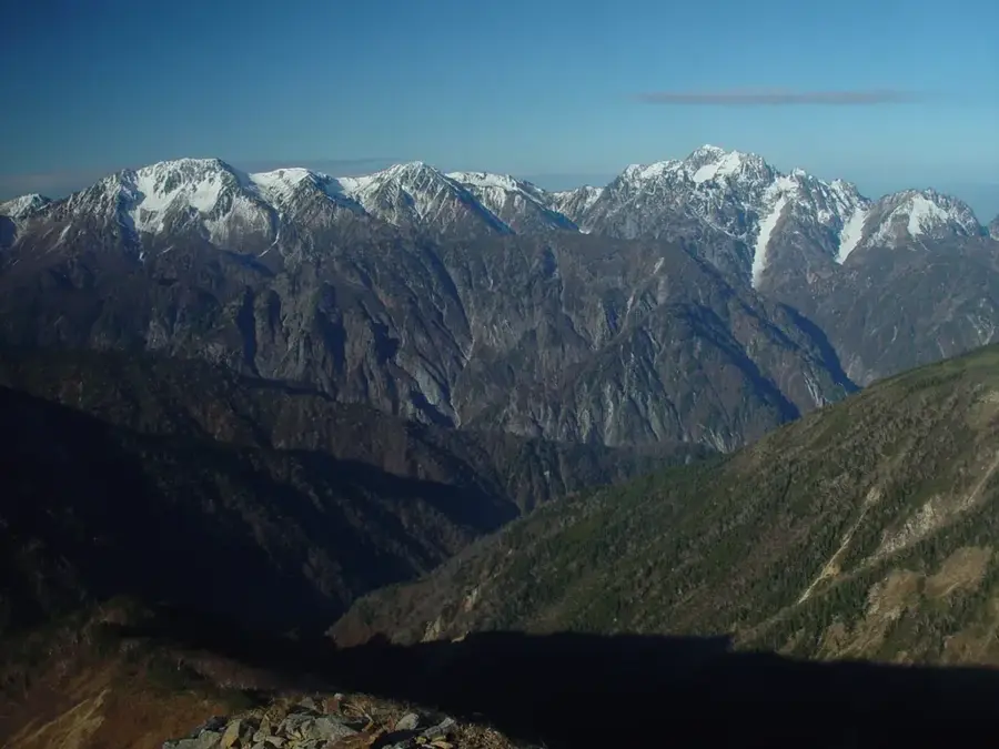
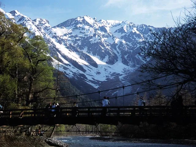
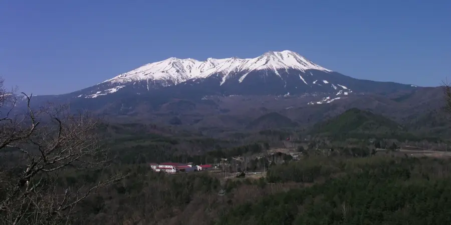
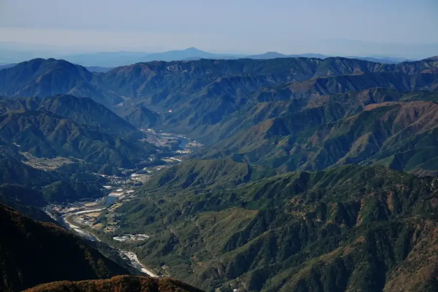
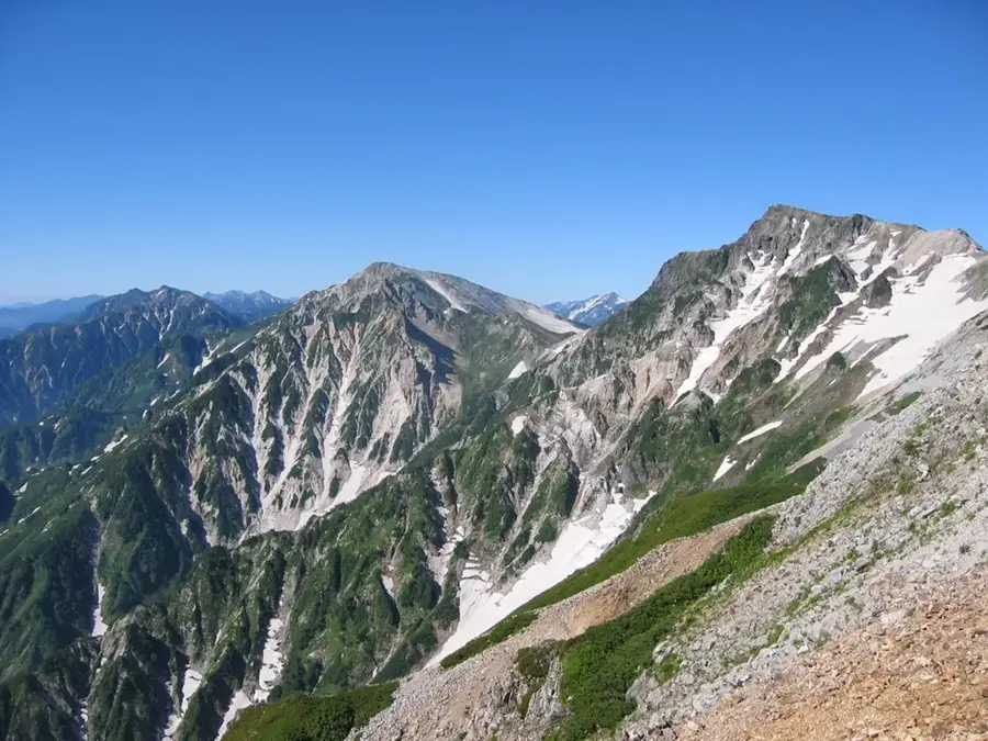
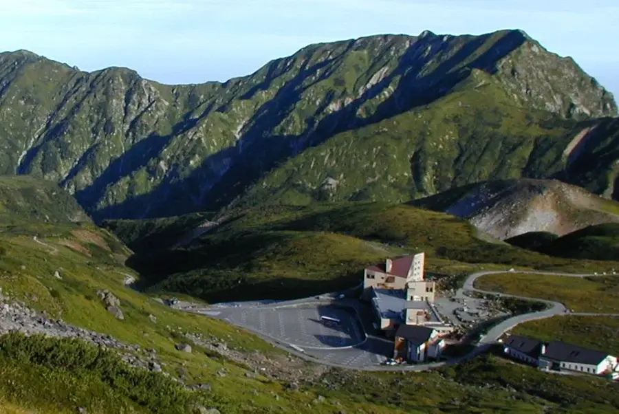
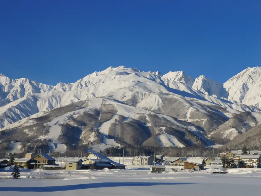
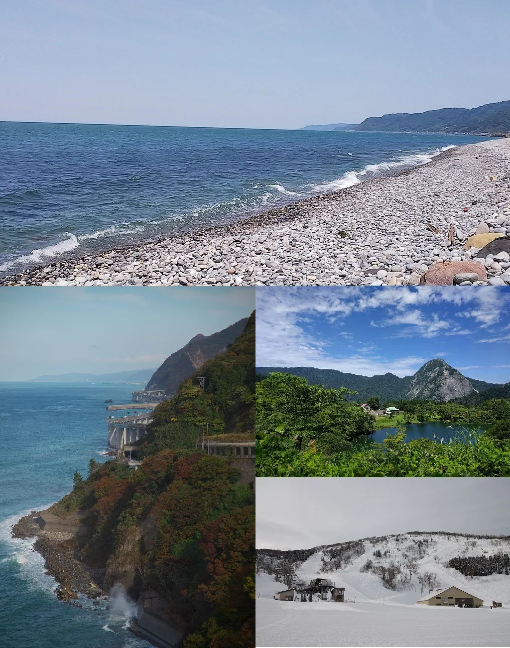
Mount Yari, widely known as Yarigatake, stands at 3,180 meters and is one of the most distinctive peaks in the Japanese Alps. Its sharp, spear-like summit has earned it the nickname 'the Matterhorn of Japan.' Located within the Hida Mountains (Northern Alps) of Chūbu-Sangaku National Park, it straddles the border of Nagano and Gifu Prefectures. The peak’s striking geometry is the result of glacial erosion during the last Ice Age, which carved four prominent ridges and steep precipices. The first recorded ascent was made in 1828 by the Buddhist monk Banryu, who established a religious site at the summit. Today, Mount Yari is a premier destination for serious hikers and mountaineers; the final ascent to the needle-like peak involves climbing steep, vertical iron ladders bolted to the rock face. From the summit, climbers enjoy a dramatic 360-degree panorama of the surrounding Northern Alps and, on clear days, the distant silhouette of Mount Fuji. Several major trekking routes converge at the mountain, including the infamous Daikiiretto ridge, a highly technical crossing to the neighboring Hotaka range. Mount Yari remains an enduring symbol of Japan’s rugged alpine heritage and a ultimate goal for many mountain enthusiasts.
- Location: Japan
- Top sights: Mt. Oku-Maruyama · Mount Yari · Mt. Ohbami
- Nearby: Tateyama Kurobe (22 km)
Best time to visit & climate
The most pleasant time to visit is Jun–Aug.
| Jan | Feb | Mar | Apr | May | Jun | Jul | Aug | Sep | Oct | Nov | Dec | |
|---|---|---|---|---|---|---|---|---|---|---|---|---|
| Avg °C | -5 | -5 | -1 | 6 | 12 | 16 | 20 | 21 | 17 | 10 | 4 | -2 |
| Rain mm | 158 | 108 | 121 | 112 | 110 | 147 | 226 | 162 | 181 | 159 | 143 | 184 |
📋 Practical info
Geography
Facts
- Mount Yari is the fifth-highest mountain in Japan at 3,180 meters.
- The mountain features four distinct ridges: East, West, South, and North.
- Monk Banryu climbed the peak five times during his lifetime.
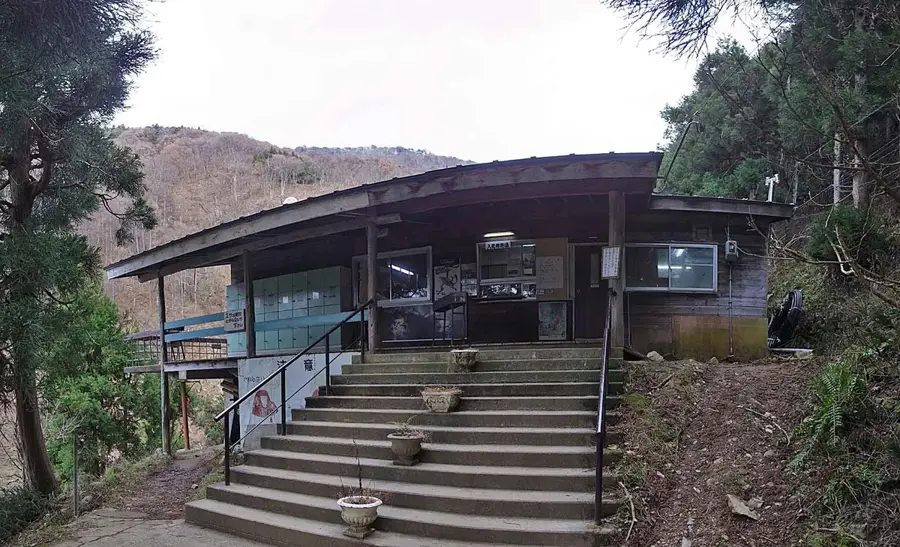
- The 'Yarigatake Sanso' hut can accommodate up to 650 hikers.
- It was famously described in the book '100 Famous Japanese Mountains' by Kyuya Fukada.
- The surrounding area is a protected habitat for the Japanese serow.
Explore nearby
Notable places around
Route planner — Car & Motorhome
Where do you start? We build the route here, with stops and country notes along the way.
© OpenStreetMap contributors · OpenRouteService
Sights in the town Mount Yari (3)
Sights nearby
Frequently asked questions
How difficult is it to climb Mount Yari?
When is the best time for a hike to the summit?
Are there accommodation options on the mountain?
How long does the tour to Mount Yari take?
What is Mount Yari known for?
Mount Yari: where is it located?
Mount Yari: what is there to see?
Mount Yari: when is the best time to visit?
Mount Yari: why is it worth visiting?

Nearby cities


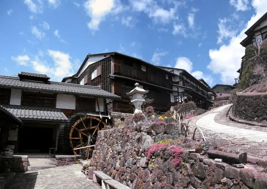
History & landmarks

More places