Plizio Visual Lab
Geba Lowland
Weather…
Water temperature…
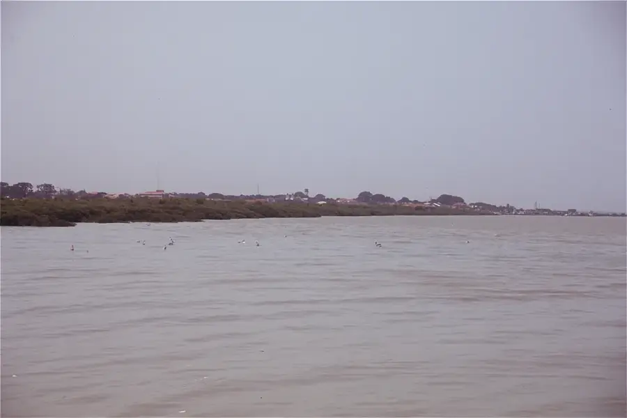
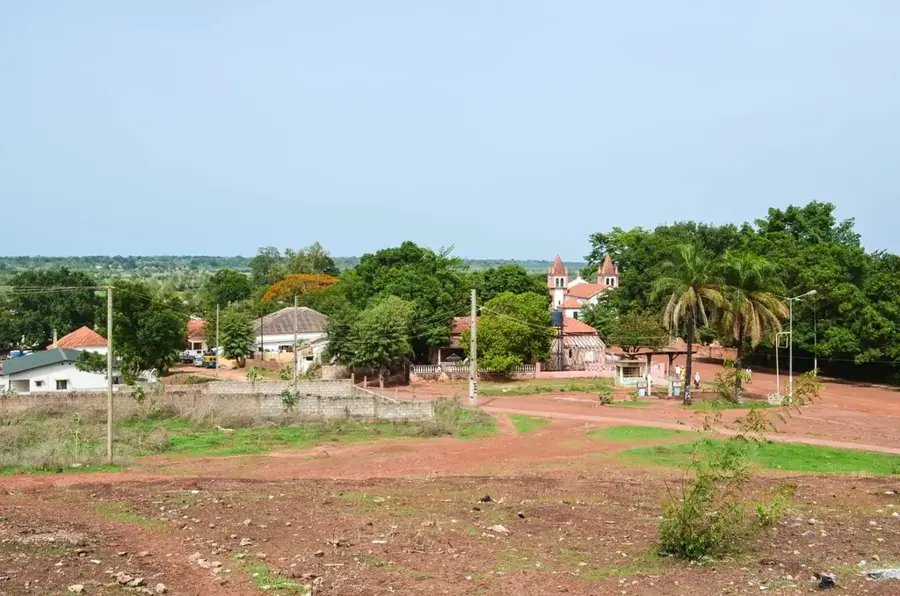
The Geba River lowland is Guinea-Bissau's most prominent hydrographic relief feature, forming the geographical heart of the country. This relief is characterized by an extremely flat topography that barely rises above sea level, making the river susceptible to tidal effects far inland. The Geba lowland consists predominantly of alluvial deposits, laid down over millennia by the river's annual flooding. These soils are highly fertile and form the so-called 'bolonhas' (marshlands), which represent the backbone of national rice production. The relief is distinguished by a complex network of canals, oxbow lakes, and seasonally flooded areas. During the rainy season, the lowland transforms into a vast water landscape, while in the dry season, it is drained through an artificial system of dikes and ditches to allow for cultivation. Geomorphologically, the lowland represents a vast depression situated between the higher plateaus of the north and east. Preserving this sensitive relief is crucial for the country's food security, as it hosts Guinea-Bissau's most productive agricultural lands.
- Location: Guinea-Bissau
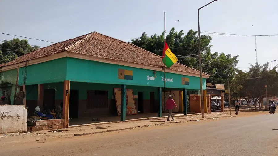
- Nearby: Bafatá (7 km)
Best time to visit & climate
The most pleasant time to visit is Jan, Nov, Dec.
| Jan | Feb | Mar | Apr | May | Jun | Jul | Aug | Sep | Oct | Nov | Dec | |
|---|---|---|---|---|---|---|---|---|---|---|---|---|
| Avg °C | 25 | 28 | 31 | 32 | 32 | 29 | 26 | 26 | 26 | 27 | 26 | 24 |
| Rain mm | 1 | 0 | 1 | 1 | 30 | 156 | 370 | 468 | 323 | 151 | 14 | 0 |
📋 Practical info
Geography
Facts
- The lowland is the largest sea-level rice cultivation area in West Africa.
- Tidal forces affect the river's water level up to 100 km upstream.
- The relief was shaped over millennia by fine river sediments.
- The 'bolonhas' are protected from saltwater intrusion by extensive dikes.
- It is one of the most densely populated agricultural landscapes in the country.
- The relief serves as a natural catchment basin for heavy monsoon rains.
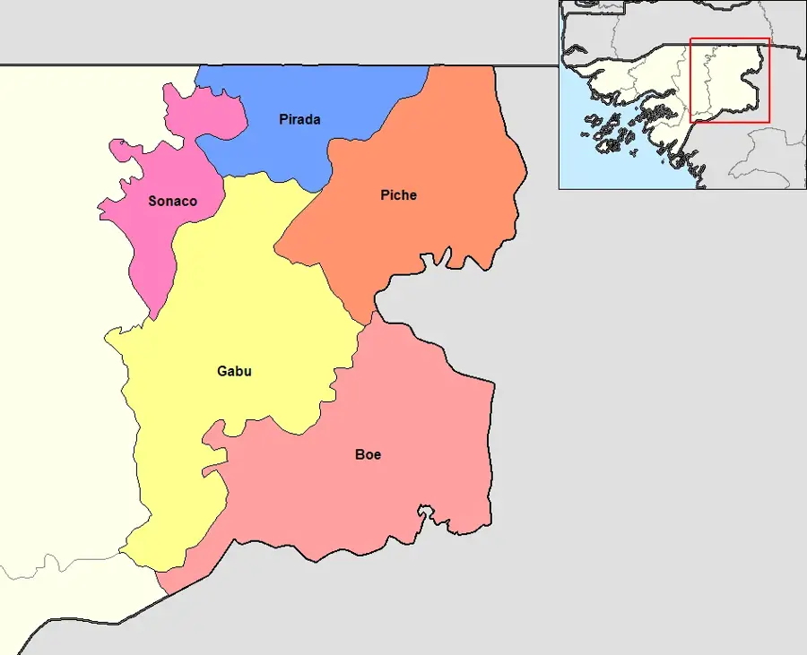
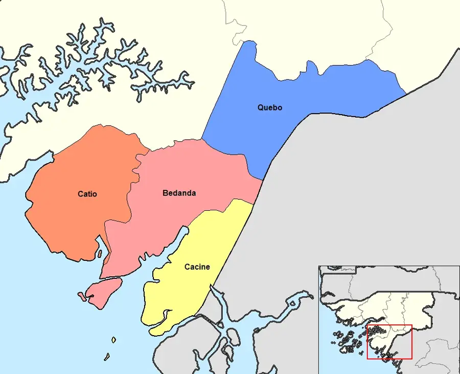
Explore nearby
Notable places around
Route planner — Car & Motorhome
Where do you start? We build the route here, with stops and country notes along the way.
© OpenStreetMap contributors · OpenRouteService
Sights nearby
Frequently asked questions
What characterizes the Geba Lowland?
Is the area known for agriculture?
Can you go birdwatching in the Geba Lowland?
How is the accessibility of the region?
Are there accommodations directly in the lowland?
Geba Lowland: where is it located?
Geba Lowland: when is the best time to visit?
Geba Lowland: why is it worth visiting?

Nearby cities
History & landmarks
More places