Plizio Visual Lab
Volta Basin
Weather…
Water temperature…
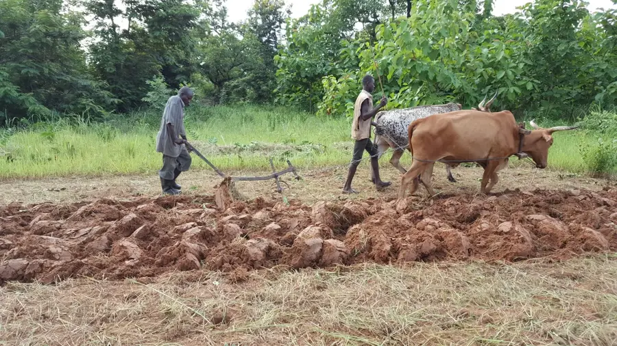
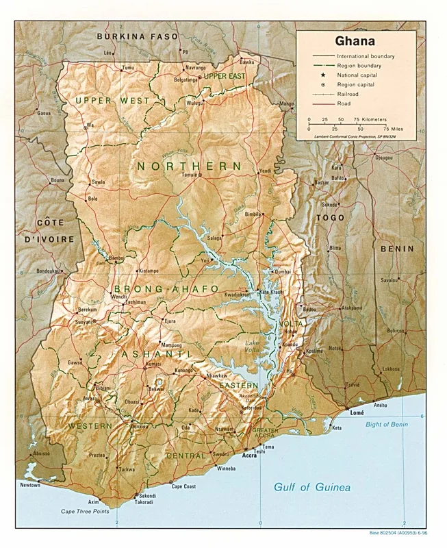
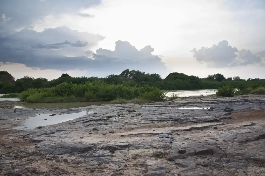
The Volta Basin is the largest drainage system in West Africa, covering approximately 45% of Ghana's total landmass. It is characterized as a vast, shallow, bowl-shaped depression bordered by highland features such as the Kwahu Plateau and the Gambaga Escarpment. Geologically, the basin is composed of the Voltaian System, consisting of sedimentary rock layers like sandstone, shale, and limestone deposited over hundreds of millions of years. At its heart lies Lake Volta, one of the world's largest man-made reservoirs, created following the completion of the Akosombo Dam in 1965. The formation of the lake significantly altered the region's geography, ecology, and economy, providing a major inland waterway and boosting the fishing industry. The basin's climate features distinct wet and dry seasons, with vegetation transitioning from savanna in the north to semi-deciduous forest in the south. Historically, the basin has been a cultural crossroads for various ethnic groups migrating along the Black, White, and Red Volta rivers. Today, while vital for hydroelectric power, the basin faces environmental challenges such as siltation and fluctuating water levels due to climate change.
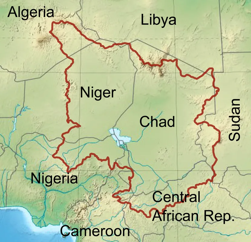
- Location: Ghana
- Nearby: Salaga (50 km)
Best time to visit & climate
The most pleasant time to visit is Jan, Nov, Dec.
| Jan | Feb | Mar | Apr | May | Jun | Jul | Aug | Sep | Oct | Nov | Dec | |
|---|---|---|---|---|---|---|---|---|---|---|---|---|
| Avg °C | 26 | 29 | 30 | 29 | 28 | 27 | 26 | 26 | 26 | 27 | 27 | 26 |
| Rain mm | 5 | 15 | 49 | 93 | 123 | 150 | 185 | 177 | 213 | 137 | 24 | 3 |
📋 Practical info
Geography
Facts
- The entire basin covers a total area of about 400,000 square kilometers.
- Approximately 165,000 square kilometers of the basin lie within Ghana's borders.
- Lake Volta at the center has a surface area of roughly 8,502 square kilometers.
- Geological surveys show that the basin contains significant deposits of iron ore.
- The basin is fed by three primary river branches: the Black, White, and Red Voltas.
- The lowest elevation in the basin occurs at the southern end near Akosombo Gorge.
Explore nearby
Notable places around
Route planner — Car & Motorhome
Where do you start? We build the route here, with stops and country notes along the way.
© OpenStreetMap contributors · OpenRouteService
Sights nearby
Frequently asked questions
What is the Volta Basin?
What is the economic importance of the basin?
Can you visit Lake Volta?
What flora and fauna are found here?
What is the terrain like?
Volta Basin: where is it located?
Volta Basin: when is the best time to visit?
Volta Basin: why is it worth visiting?

Nearby cities
History & landmarks

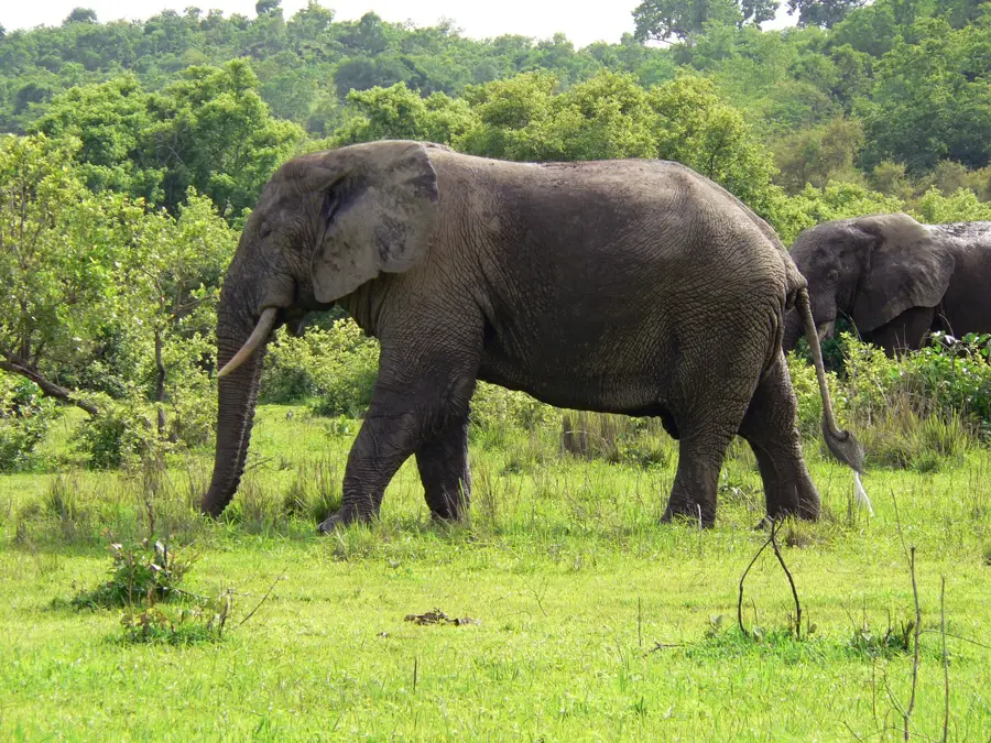
Nature
More places