Plizio Visual Lab
White Volta
Weather…
Water temperature…
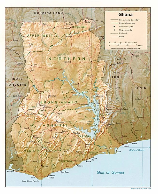
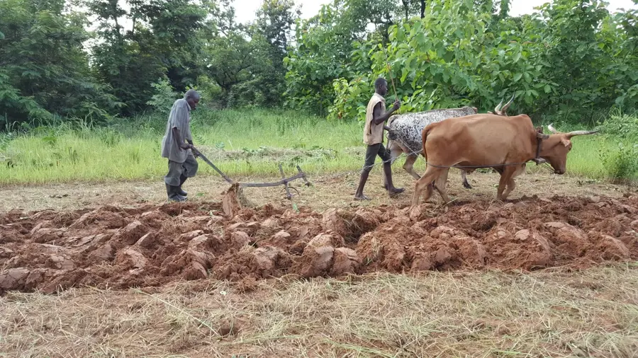
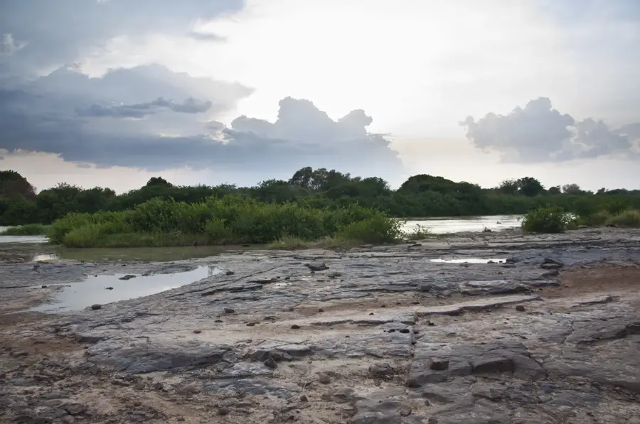
The White Volta, also known as the Nakambé in Burkina Faso, is one of the primary tributaries of the Volta River system, originating in the northern part of Burkina Faso. It flows southward across the Upper East and Northern Regions of Ghana before eventually emptying into Lake Volta. The river is a lifeline for agriculture in northern Ghana, providing essential water for irrigation and livestock during the prolonged dry seasons. Geographically, the White Volta forms extensive floodplains rich in alluvial deposits, which are highly conducive to the cultivation of rice and vegetables. The river's flow is highly seasonal, characterized by dramatic increases during the rainy season that can lead to flooding, and significantly reduced levels during the dry months. Ecologically, it supports a variety of wildlife, including hippopotamuses in more remote areas and a wide array of waterfowls. The management of the river's resources falls under the Volta Basin Authority, which coordinates cross-border cooperation between Ghana and Burkina Faso to ensure sustainable water use.
- Location: Ghana
- Nearby: Tamale (48 km)
Best time to visit & climate
The most pleasant time to visit is Jan, Nov, Dec.
| Jan | Feb | Mar | Apr | May | Jun | Jul | Aug | Sep | Oct | Nov | Dec | |
|---|---|---|---|---|---|---|---|---|---|---|---|---|
| Avg °C | 26 | 29 | 31 | 30 | 29 | 27 | 26 | 26 | 26 | 27 | 28 | 26 |
| Rain mm | 3 | 15 | 43 | 84 | 109 | 135 | 166 | 161 | 195 | 123 | 23 | 3 |
📋 Practical info
Geography
Facts
- The total length of the river is about 1,140 kilometers.
- Its drainage basin covers roughly 106,000 square kilometers.
- Site of the Pwalugu Multi-purpose Dam project.
- Its main tributary is the Red Volta river.
- Empties into Lake Volta in the central part of Ghana.
- A key source of water for rice farming in the Northern Region.
Explore nearby
Notable places around
Route planner — Car & Motorhome
Where do you start? We build the route here, with stops and country notes along the way.
© OpenStreetMap contributors · OpenRouteService
Sights nearby
Frequently asked questions
Where does the White Volta originate?
Can you go boating on the river?
Are there crocodiles in the river?
What role does the river play in agriculture?
Can you fish there?
White Volta: where is it located?
White Volta: when is the best time to visit?
White Volta: why is it worth visiting?

Nearby cities
History & landmarks

More places