Plizio Visual Lab
Kartong Cliffs

Weather…
Water temperature…
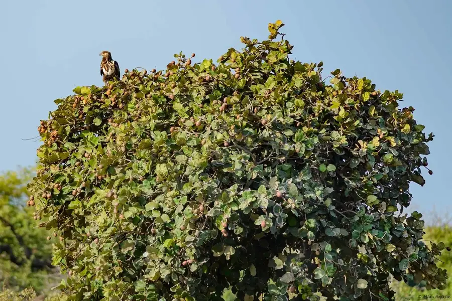
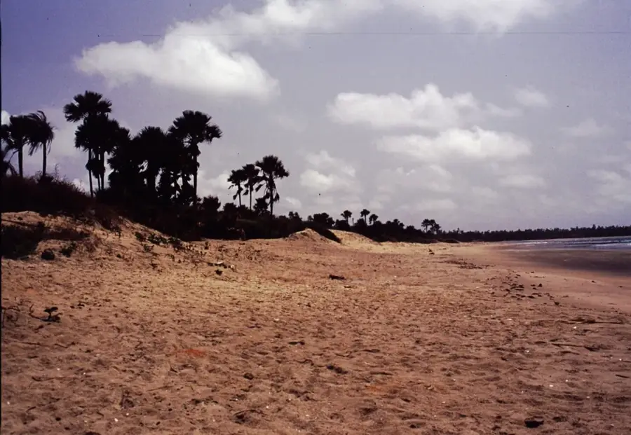
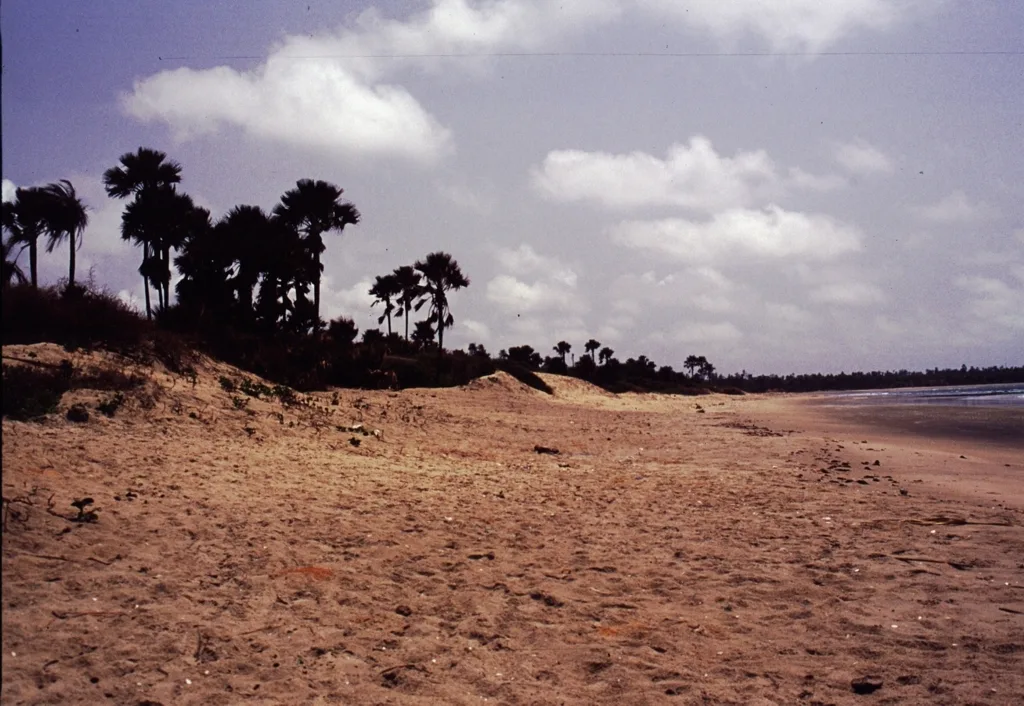
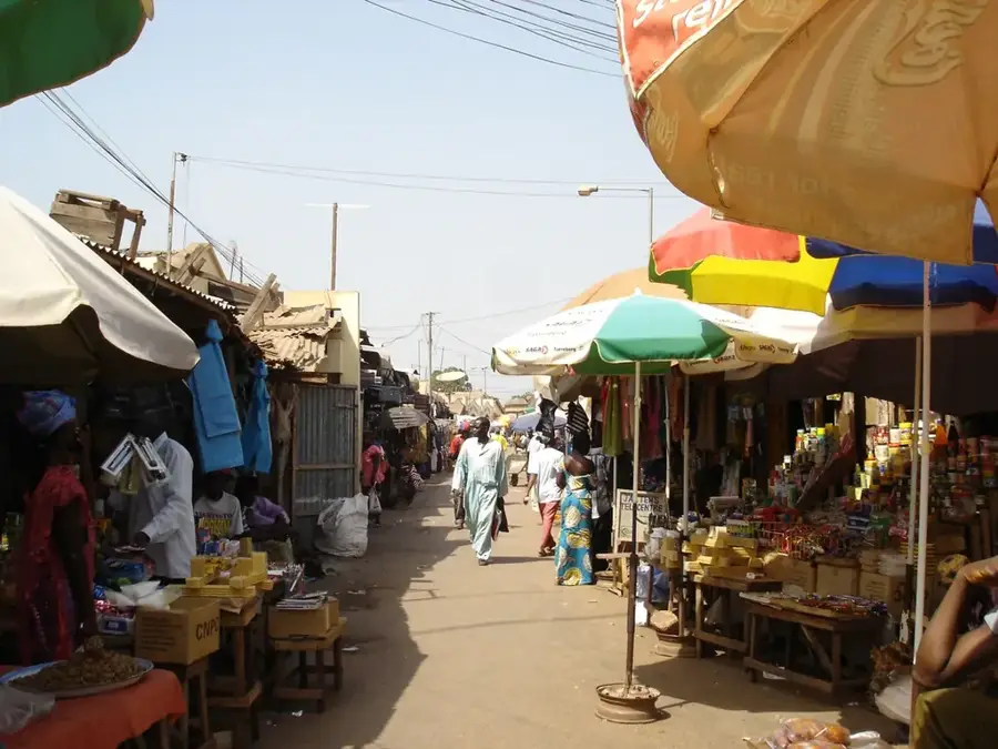
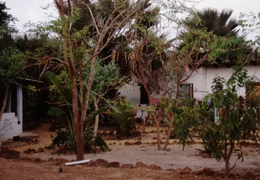
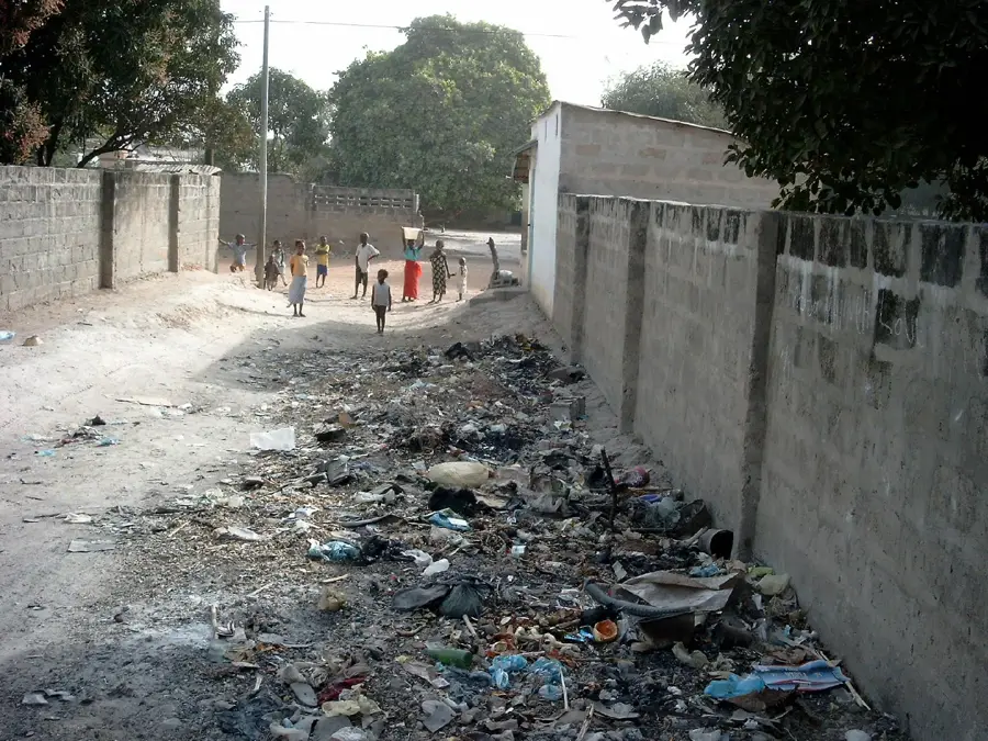
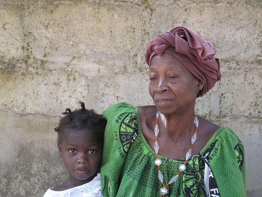
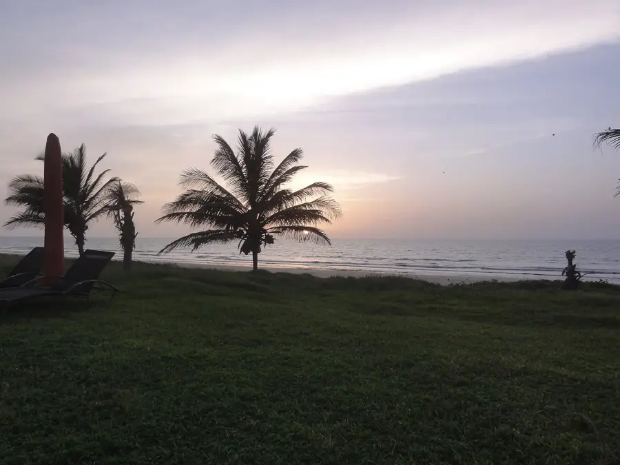
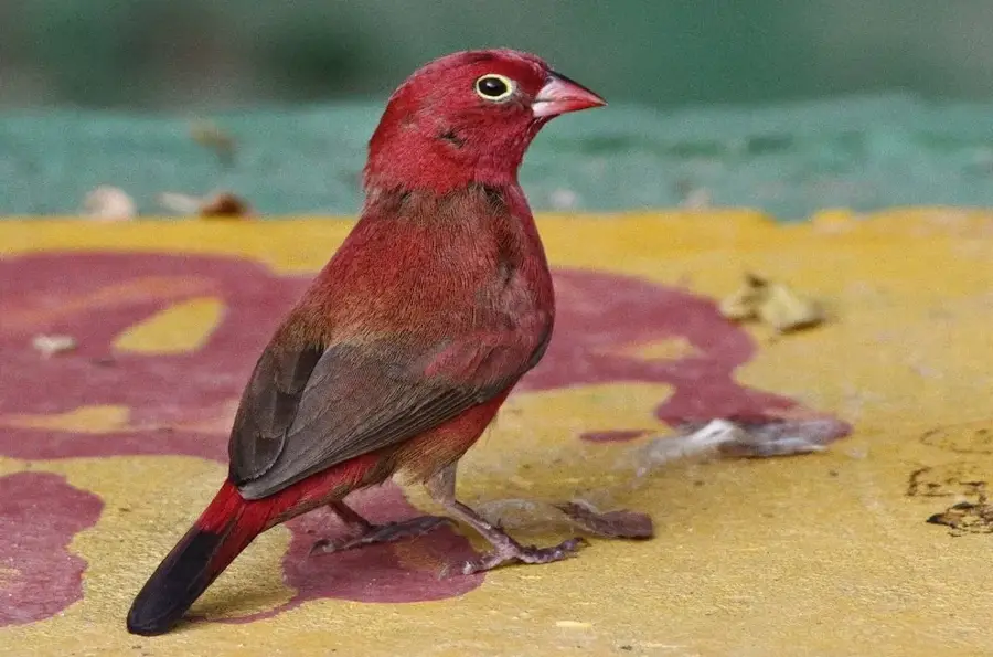
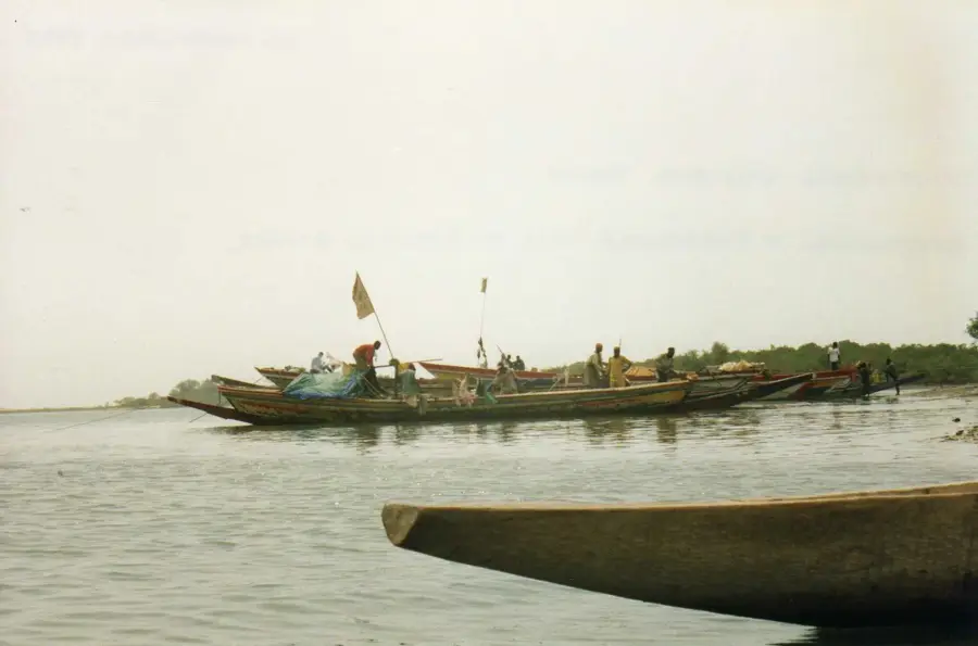
The Kartong Cliffs are situated at the southernmost tip of The Gambia, right on the border with the Casamance region of Senegal. This geological formation primarily consists of low-lying laterite cliffs that stretch along the Atlantic Ocean, providing a sharp contrast to the otherwise flat, sandy beaches of the region. The cliffs offer a strategic vantage point over the mouth of the Halahin River, which serves as the natural boundary between the two nations. Historically, the area around Kartong was a significant center for traditional fishing and salt harvesting, whereas today it is mostly renowned for its ecological richness. The surroundings are a haven for birdwatchers, as the combination of coastal habitats, mangroves, and wetlands attracts rare avian species. Geologically, the cliffs bear witness to coastal erosion processes that have shaped the shoreline over millennia. In modern times, Kartong plays a crucial role in The Gambia's sustainable tourism sector, focusing on preserving the natural coastline and protecting marine biodiversity.
- Location: Gambia
- Top sights: Tesito Beach · Halahin Beach
- Nearby: Kafaya (5 km)
Best time to visit & climate
The most pleasant time to visit is Jan, Feb, Apr.
| Jan | Feb | Mar | Apr | May | Jun | Jul | Aug | Sep | Oct | Nov | Dec | |
|---|---|---|---|---|---|---|---|---|---|---|---|---|
| Avg °C | 23 | 23 | 23 | 23 | 24 | 27 | 27 | 27 | 27 | 28 | 27 | 25 |
| Rain mm | 3 | 3 | 21 | 3 | 4 | 68 | 234 | 349 | 250 | 85 | 8 | 2 |
📋 Practical info
Geography
Facts
- The cliffs mark the southernmost coastal point of The Gambia at 13.04 North.
- The adjacent Halahin River forms the border with Senegal.
- The rock formation is predominantly composed of iron-rich laterite.
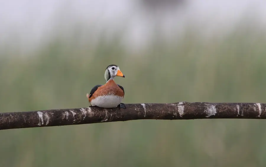
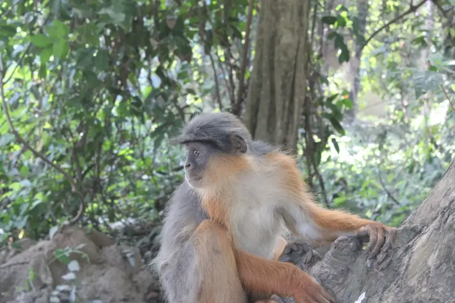
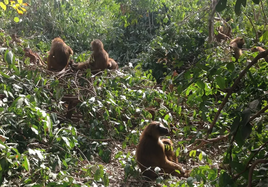
- Over 300 bird species have been recorded in the immediate vicinity.
- The height of the cliffs typically ranges between 2 and 5 meters.
- Kartong is one of the oldest villages in the West Coast District.
Explore nearby
Notable places around
Route planner — Car & Motorhome
Where do you start? We build the route here, with stops and country notes along the way.
© OpenStreetMap contributors · OpenRouteService
Sights in the town Kartong Cliffs (2)
Sights nearby
Frequently asked questions
Where are the Kartong Cliffs located?
Can fossils be found at the cliffs?
Is the place suitable for swimming?
What is the Kartong Reptile Centre?
What is the atmosphere in Kartong?
Kartong Cliffs: where is it located?
Kartong Cliffs: what is there to see?
Kartong Cliffs: when is the best time to visit?
Kartong Cliffs: why is it worth visiting?

Nearby cities


History & landmarks
Nature
More places