Plizio Visual Lab
Allahein River
Weather…
Water temperature…
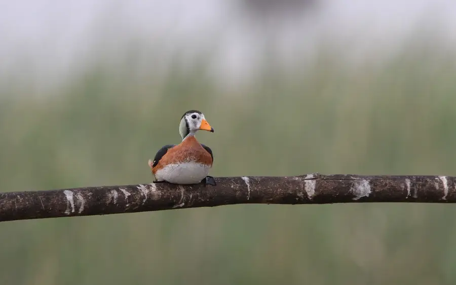
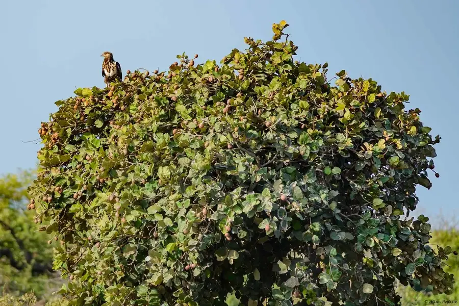
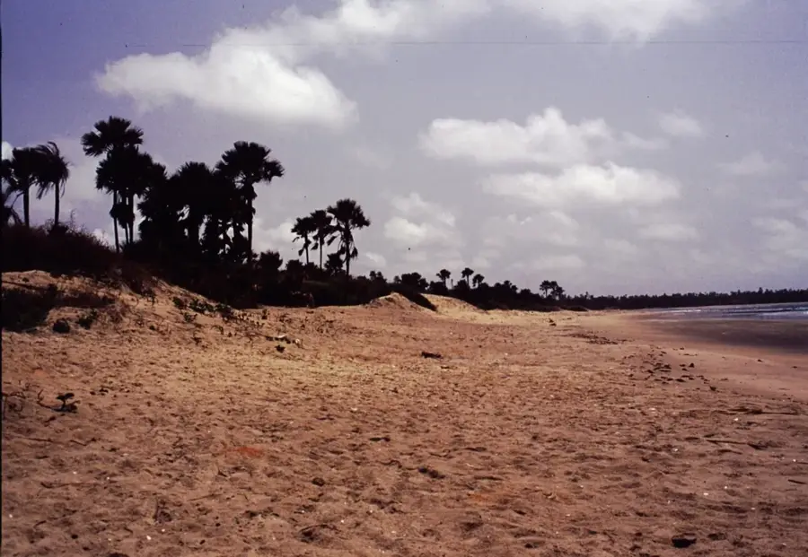
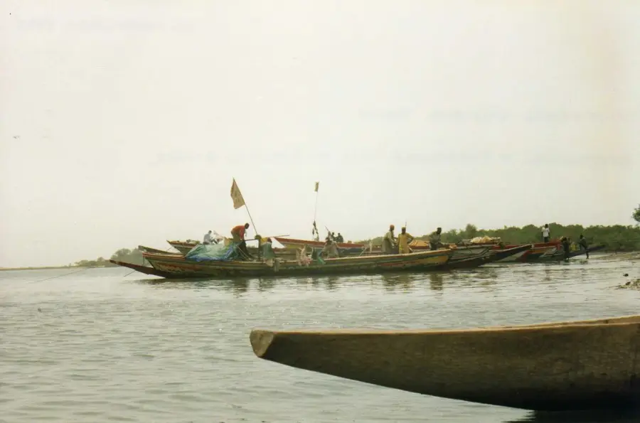
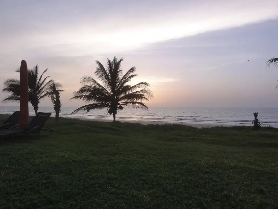
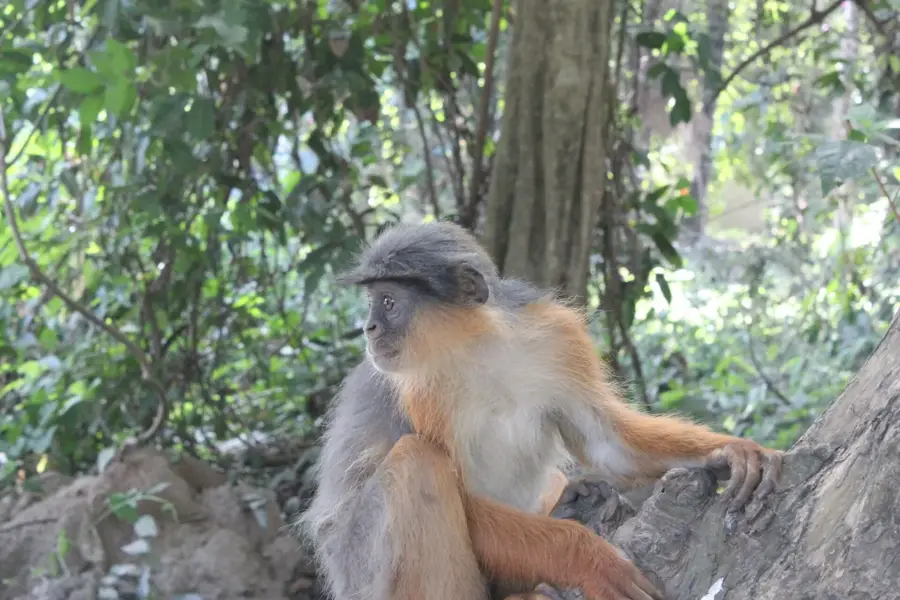
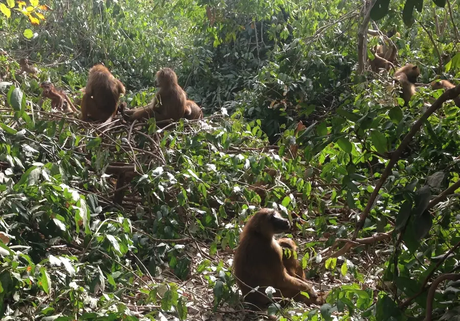
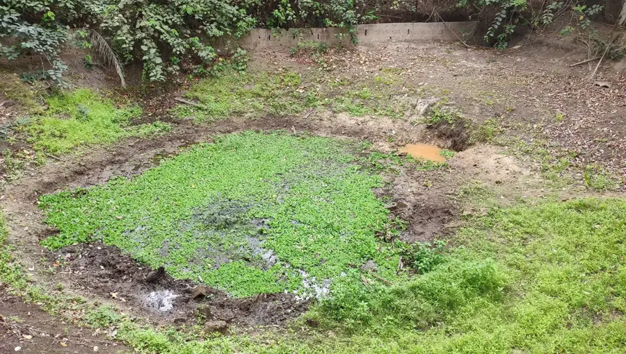
The Allahein River forms a significant portion of the southern border between The Gambia and the Senegalese region of Casamance. Originating in southern Senegal, it flows into the Atlantic Ocean near Kartong, with its lower reaches defined by dense mangrove forests and extensive mudflats. The area is of high ecological importance, serving as a vital sanctuary for numerous bird species and diverse marine life. Historically, the river marked a key boundary between colonial spheres of influence and various local kingdoms. Today, the estuary serves as a hub for artisanal fishing and community-based eco-tourism in the West Coast Region. Tidal dynamics significantly affect the water's salinity levels far inland, which in turn dictates the composition of the local flora and fauna.
- Location: Gambia
- Nearby: Kafaya (8 km)
Best time to visit & climate
The most pleasant time to visit is Jan, Feb, Dec.
| Jan | Feb | Mar | Apr | May | Jun | Jul | Aug | Sep | Oct | Nov | Dec | |
|---|---|---|---|---|---|---|---|---|---|---|---|---|
| Avg °C | 23 | 26 | 28 | 29 | 30 | 29 | 27 | 26 | 26 | 27 | 26 | 23 |
| Rain mm | 1 | 0 | 15 | 2 | 7 | 98 | 247 | 368 | 266 | 89 | 5 | 0 |
📋 Practical info
Geography
Facts
- The estuary is located at coordinates 13.047 degrees North and 16.758 degrees West.
- The river serves as the international boundary between The Gambia and Senegal.
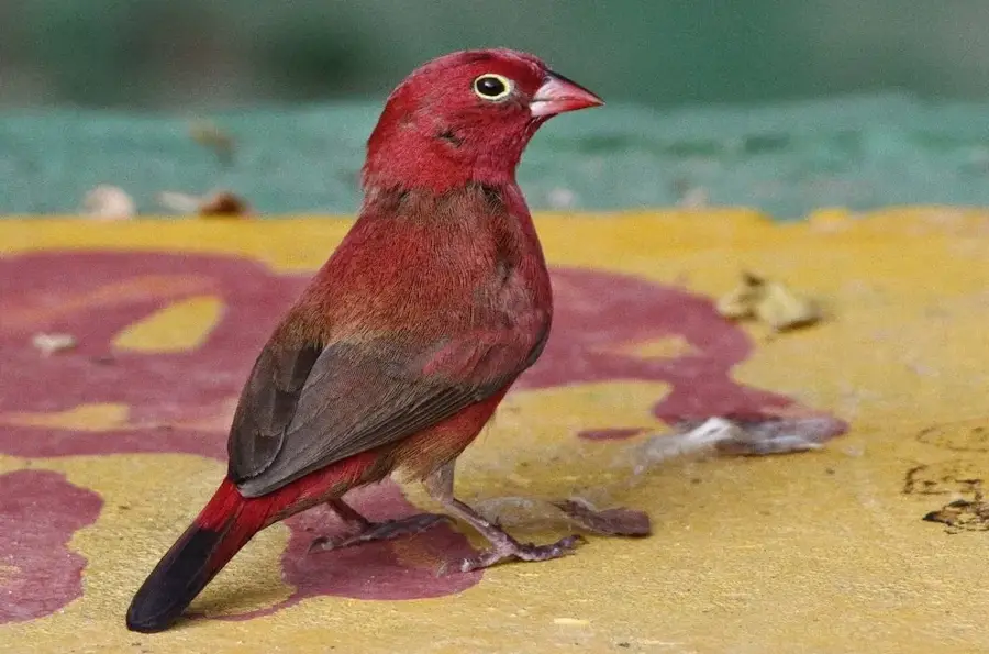
- The estuary area near Kartong is renowned for hosting over 100 bird species.
- Tidal influence extends several kilometers inland along the river's path.
- Oysters are traditionally harvested from the mangrove roots along the riverbanks.
- The Allahein River is one of the few rivers in Gambia that does not drain into the Gambia River.
Explore nearby
Notable places around
Route planner — Car & Motorhome
Where do you start? We build the route here, with stops and country notes along the way.
© OpenStreetMap contributors · OpenRouteService
Sights in the town Allahein River (1)
Sights nearby
Frequently asked questions
What is special about the Allahein River?
Can you do boat trips?
Which birds live by the river?
Are there crocodiles?
Is the river suitable for fishing?
Allahein River: where is it located?
Allahein River: when is the best time to visit?
Allahein River: why is it worth visiting?

Nearby cities


History & landmarks
More places