Plizio Visual Lab
Ngounié River
Weather…
Water temperature…
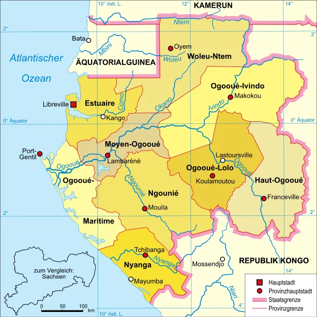
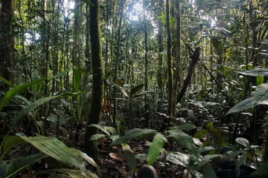
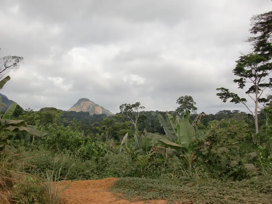
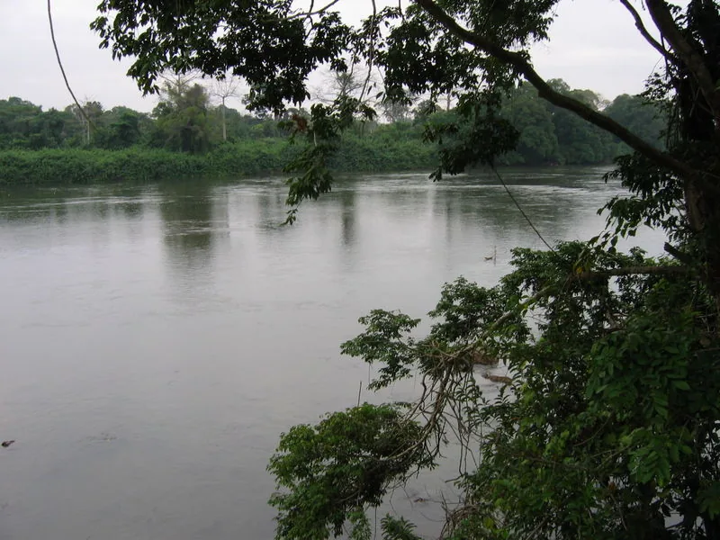
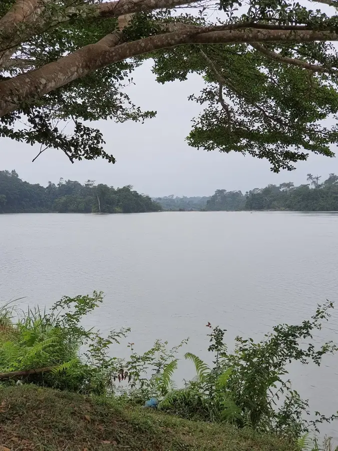
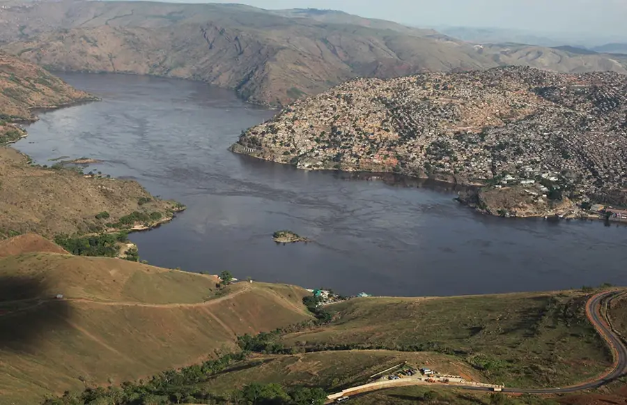
The Ngounié River is the second most important tributary of the Ogooué, flowing northward through southern Gabon. It rises in the central highlands of the Chaillu Massif, near the border with the Republic of the Congo. Along its course, the river passes through major regional towns such as Mouila and Fougamou before joining the Ogooué near Lambaréné. The Ngounié is noted for its scenic beauty, with rolling hills and lush gallery forests lining its banks. During the colonial era, it was a crucial transport route for exporting palm oil and other agricultural goods from the interior. Today, it remains essential for local fisheries and agriculture within the Ngounié Province. The river also features several impressive rapids and waterfalls, most notably the Empress Falls (Chutes de l'Impératrice), named in honor of Empress Eugénie during 19th-century French exploration.
- Location: Gabon
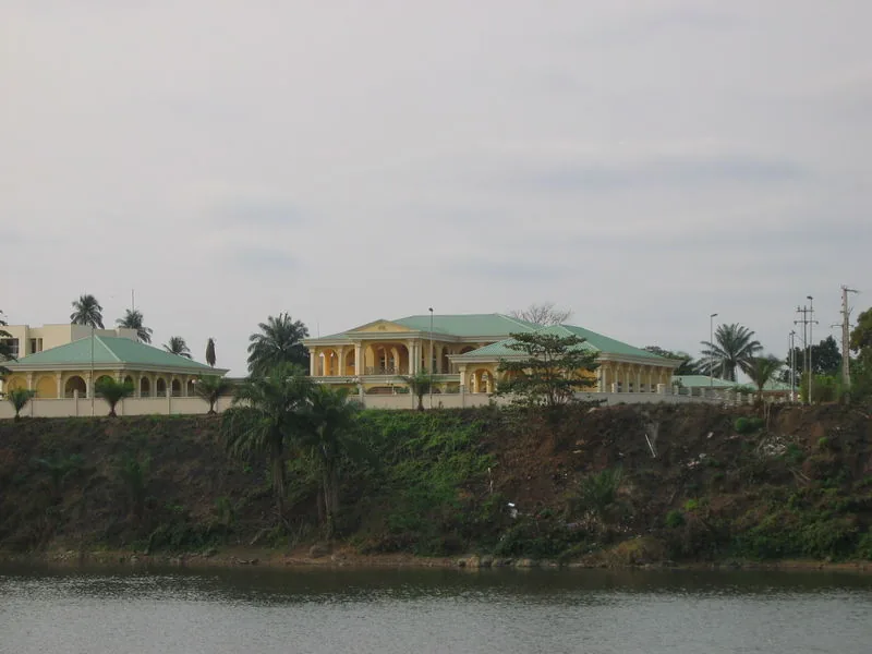
- Top sights: Cathedral of Saint John the Apostle · Le cimetière Magondo
- Nearby: Lebamba (62 km)
Best time to visit & climate
The most pleasant time to visit is Jun–Aug.
| Jan | Feb | Mar | Apr | May | Jun | Jul | Aug | Sep | Oct | Nov | Dec | |
|---|---|---|---|---|---|---|---|---|---|---|---|---|
| Avg °C | 25 | 25 | 25 | 25 | 25 | 24 | 24 | 24 | 25 | 25 | 24 | 25 |
| Rain mm | 174 | 166 | 251 | 245 | 165 | 22 | 4 | 10 | 74 | 333 | 403 | 222 |
📋 Practical info
Geography
Facts
- Gabon's second-largest tributary to the Ogooué River.
- Sources in the Chaillu Massif at an elevation above 600 meters.
- Features the famous Empress Falls (Chutes de l'Impératrice).
- The namesake for one of the nine administrative provinces of Gabon.
- Historically significant for the regional trade of palm oil and peanuts.
- Joins the main Ogooué current just north of the town of Lambaréné.
Explore nearby
Notable places around
Route planner — Car & Motorhome
Where do you start? We build the route here, with stops and country notes along the way.
© OpenStreetMap contributors · OpenRouteService
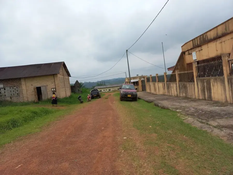
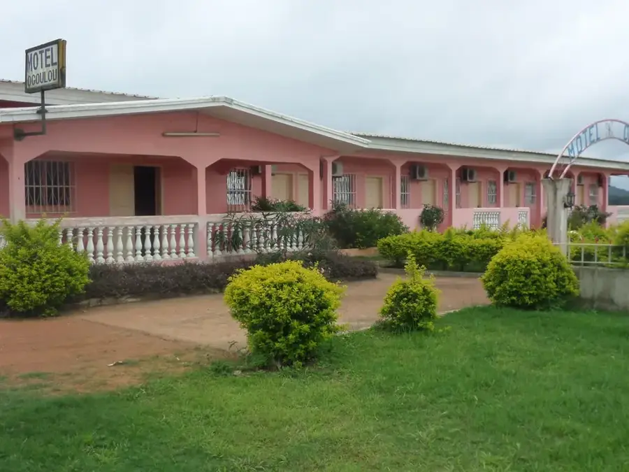
Sights in the town Ngounié River (2)
Sights nearby
Frequently asked questions
In which province does the Ngounié River flow?
Does the Ngounié flow into the Ogooué?
What are the 'Chutes de l'Impératrice'?
Can you fish by the river?
Is the river navigable?
Ngounié River: where is it located?
Ngounié River: what is there to see?
Ngounié River: when is the best time to visit?
Ngounié River: why is it worth visiting?

Nearby cities

More places