Plizio Visual Lab
Mount Duff
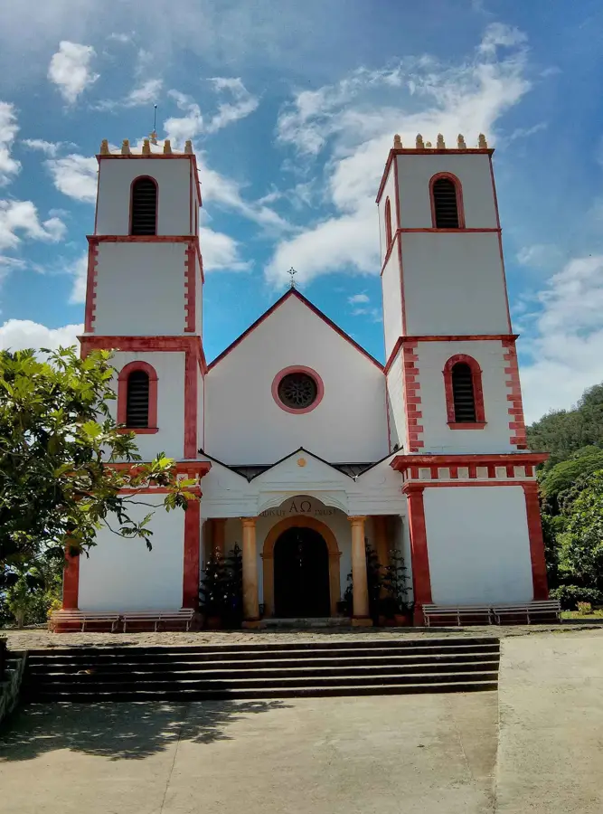
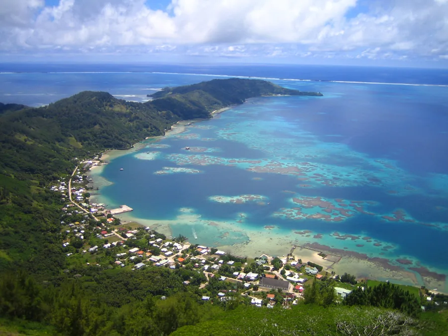
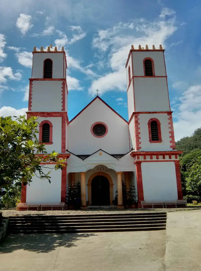
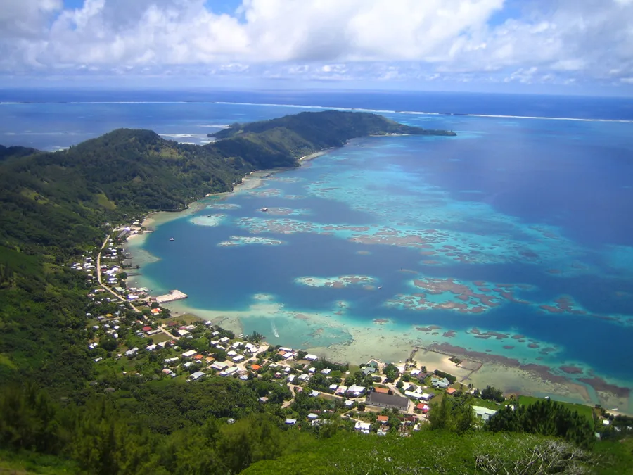
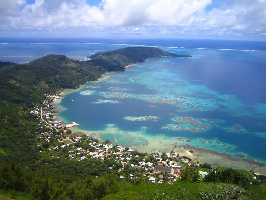
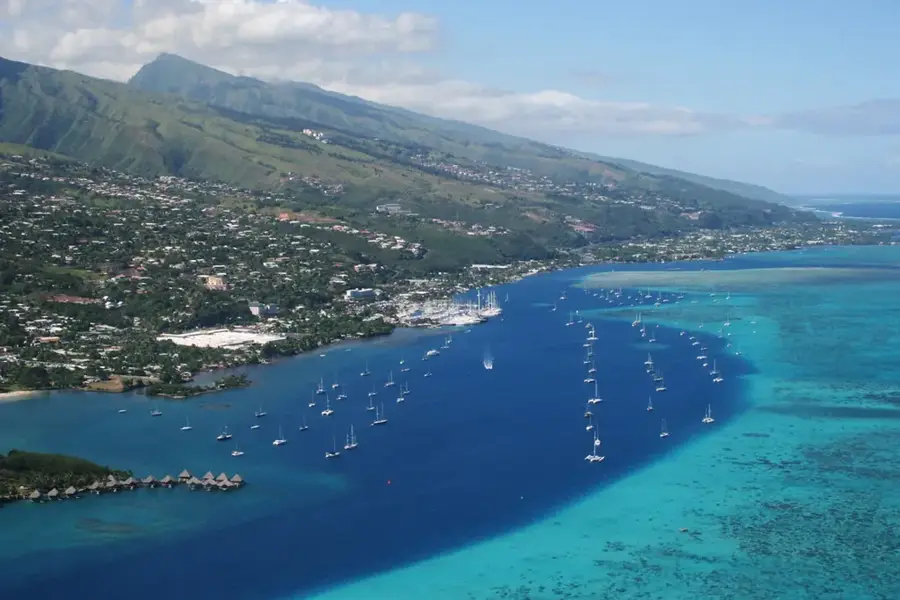
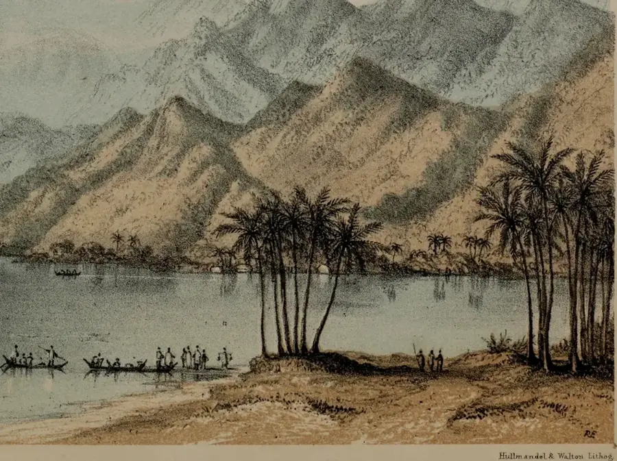
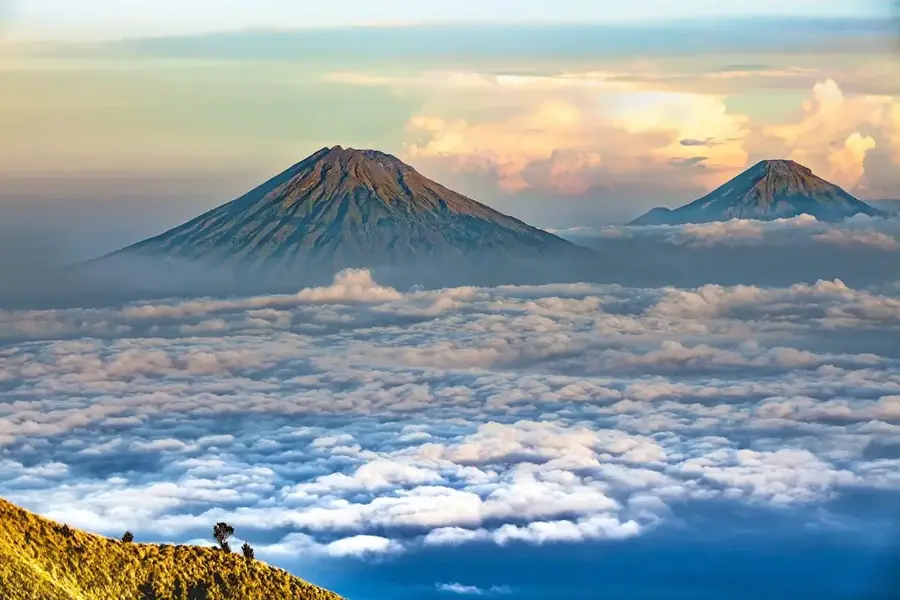
Mount Duff, rising to an elevation of 441 meters, is the highest peak on Mangareva and the entire Gambier Islands archipelago in French Polynesia. Also known by its local name, Auorotini, the mountain is a remnant of the rugged volcanic rim that once formed a massive crater. It was named after the missionary ship 'Duff,' which arrived in the islands in 1797, signaling a major turning point in local history. The hike to the summit is steep and rewarding, leading adventurers across grassy slopes and rocky ridges that offer increasingly spectacular views. Once at the top, hikers are treated to a wide-open 360-degree panorama of the vast turquoise lagoon, the barrier reef, and the sister islands scattered across the Pacific. From this vantage point, the historic St. Michael's Cathedral in the town of Rikitea is clearly visible at the mountain's base. Mount Duff remains a site of immense natural beauty and spiritual significance, representing the wild, untouched essence of the Gambier Islands.
Explore on the map
How well do you know French Polynesia?
Find cities, landscapes and regions in 10 varied challenges on the interactive map.
Your journey, your memory
A postcard from Mount Duff
Turn your own photo into a personal postcard with a local stamp. Free and no sign-up required.
Create a postcard- Location: French Polynesia
- Highlights: Teiupiti o te rima merieraga · Moai · Tour de guet
Best time to visit & climate
The most pleasant time to visit is Jul–Sep.
| Jan | Feb | Mar | Apr | May | Jun | Jul | Aug | Sep | Oct | Nov | Dec | |
|---|---|---|---|---|---|---|---|---|---|---|---|---|
| Avg °C | 26 | 26 | 26 | 26 | 25 | 24 | 23 | 22 | 22 | 23 | 24 | 25 |
| Rain mm | 144 | 104 | 101 | 116 | 127 | 132 | 82 | 92 | 74 | 131 | 148 | 171 |
📋 Practical info
Geography
Facts
- Mount Duff is 855 meters high.
- It is located on Ua Huka Island.
- Ua Huka has an area of 83 square kilometers.
- The mountain is of volcanic origin.
- Average temperature is 25 degrees Celsius.
- 10 endemic orchid species have been recorded on the mountain.
Route planner — Car & Motorhome
Where do you start? We build the route here, with stops and country notes along the way.
© OpenStreetMap contributors · OpenRouteService
Sights in the town Mount Duff (10)
Arc de triomphe de Kirimiro
Triumphal arch on Mount Duff, a local landmark.
Chapelle de la grotte
Christian chapel inside a cave on Mount Duff.
Belvédère de Piiti
Viewpoint on Mount Duff, offering a panorama.
Chapelle Saint-Pierre
Chapel on Mount Duff, dedicated to Saint Peter.
Duff
Mountain peak in French Polynesia, part of the island group.
Puits
Ruins of a well on Mount Duff, evidence of past settlement.
Sights nearby
Frequently asked questions
How long does the hike take?
Is a guide necessary?
Does the summit offer good views?
Is it safe in rain?
Do you need lots of water?
Mount Duff: where is it located?
Mount Duff: what is there to see?
Mount Duff: when is the best time to visit?
Mount Duff: why is it worth visiting?

Nearby cities

Nature
More places