Plizio Visual Lab
Mount Perau

Weather…
Water temperature…
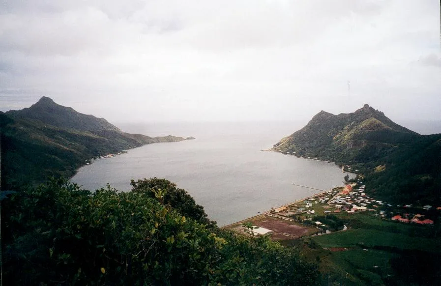
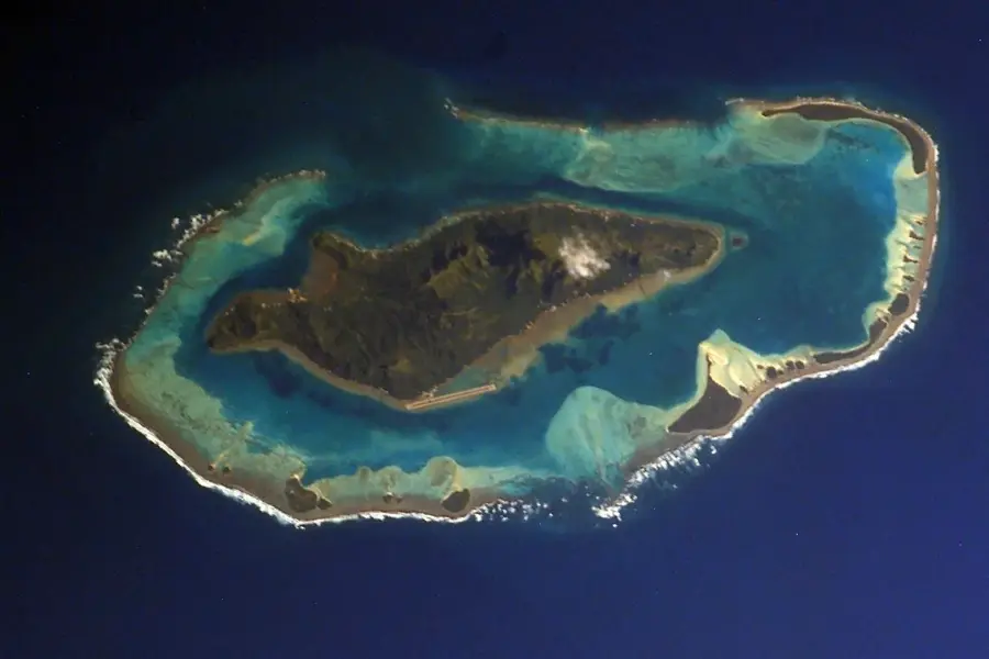
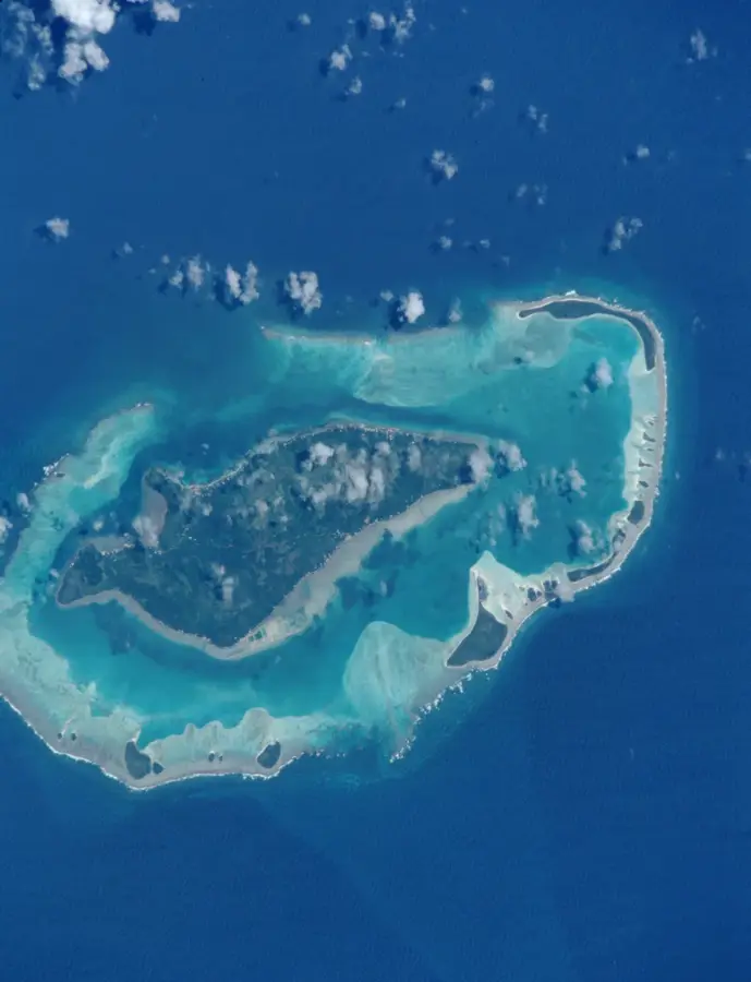
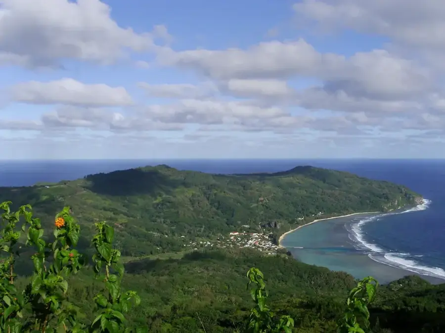
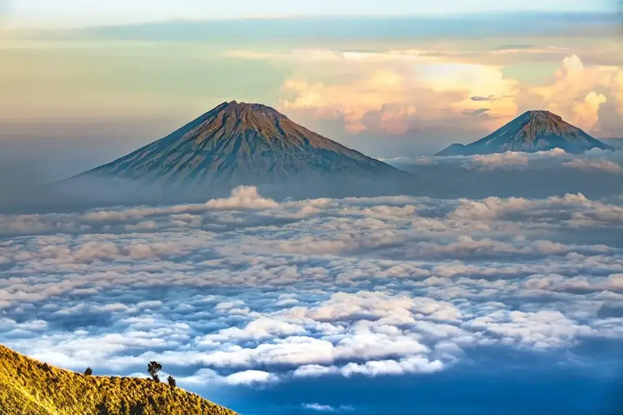
Mount Perau is the commanding highest peak of Rapa Iti, reaching an elevation of 650 meters on the southernmost inhabited island of French Polynesia. Geographically, the mountain forms part of the rugged rim of an ancient, partially submerged volcanic caldera that defines the island's unique horseshoe shape. Its summits are frequently shrouded in a thick veil of mist and low-hanging clouds, a result of the cooler, humid climate prevalent in this remote part of the Austral Islands. This constant moisture fosters a lush and rare ecosystem of high-altitude flora that is found nowhere else on earth. For the adventurous traveler, the slopes of Mount Perau provide a vantage point to see the historic "Pa" sites—the remarkable terraced hillforts built by ancient islanders for defense and social organization. The climb to the top is a journey through time and nature, offering breathtaking views of the sunken volcanic crater now filled by the turquoise waters of Ahurei Bay. It remains a silent sentinel over a landscape shaped by fire and centuries of human resilience.
Best time to visit & climate
The most pleasant time to visit is May, Oct, Nov.
| Jan | Feb | Mar | Apr | May | Jun | Jul | Aug | Sep | Oct | Nov | Dec | |
|---|---|---|---|---|---|---|---|---|---|---|---|---|
| Avg °C | 24 | 25 | 24 | 23 | 22 | 20 | 19 | 19 | 19 | 20 | 21 | 22 |
| Rain mm | 139 | 140 | 178 | 156 | 124 | 164 | 159 | 147 | 114 | 112 | 118 | 174 |
📋 Practical info
Geography
Facts
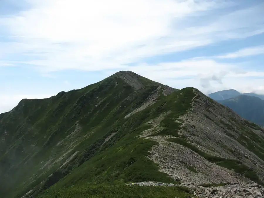
- Mount Perau is 1,107 meters high.
- It is located on Moorea Island.
- Moorea has an area of 134 square kilometers.
- The mountain is of volcanic origin.
- The hike to the summit takes 3-4 hours.
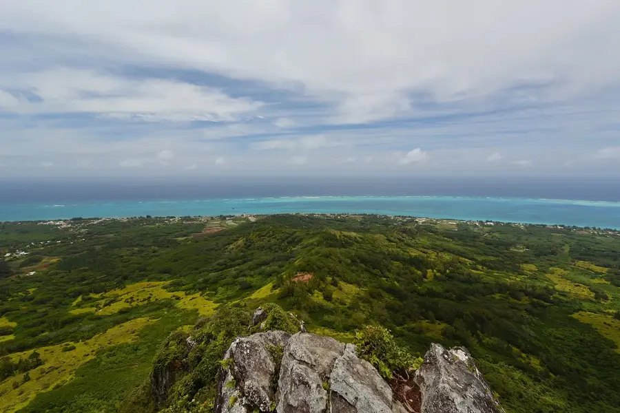
- From the summit, both bays are visible.
Route planner — Car & Motorhome
Where do you start? We build the route here, with stops and country notes along the way.
© OpenStreetMap contributors · OpenRouteService
Sights nearby
Frequently asked questions
Can you hike to the summit?
What is the view like?
Is a guide necessary?
Are there dangers?
How fit do you need to be?
Nearby cities
History & landmarks

Nature
More places