Plizio Visual Lab
Tumuc-Humac Mountains
Weather…
Water temperature…
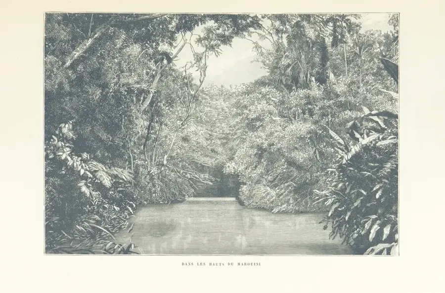
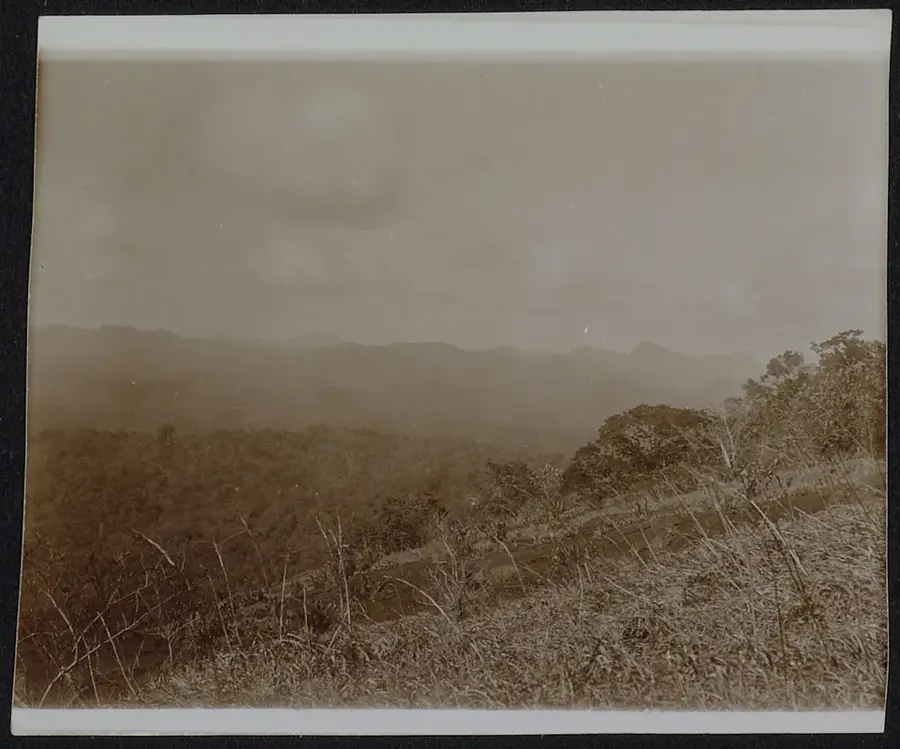
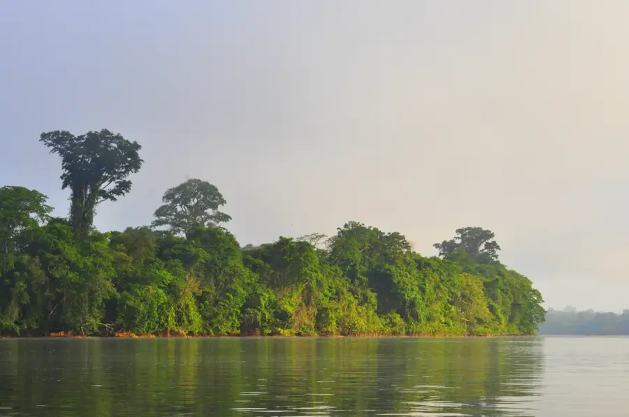
The Tumuc-Humac Mountains extend along the southern border of French Guiana with Brazil and Suriname. They form an integral part of the geologically ancient Guiana Shield and serve as a significant watershed between the Amazon basin and the rivers flowing north directly into the Atlantic Ocean. The region is almost entirely uninhabited and covered by dense, pristine tropical rainforest that hosts exceptional biological diversity. Historically, the mountains were the target of numerous scientific and border expeditions in the 19th and 20th centuries aimed at mapping the remote interior and identifying the sources of the Maroni and Oyapock rivers. Today, much of the area is strictly protected under the Guiana Amazonian Park. Its remote location has helped preserve the traditional lifestyles of indigenous communities such as the Wayana and Apalaí peoples. Geologically, the mountains consist primarily of Precambrian granite and gneiss, shaped by erosion over millions of years into rounded ridges and massifs. The range also acts as a climatic barrier, influencing local rainfall patterns across the southern Guianese territory.
Your journey, your memory
A postcard from Tumuc-Humac Mountains
Turn your own photo into a personal postcard with a local stamp. Free and no sign-up required.
Create a postcardBest time to visit & climate
The most pleasant time to visit is Aug–Oct.
| Jan | Feb | Mar | Apr | May | Jun | Jul | Aug | Sep | Oct | Nov | Dec | |
|---|---|---|---|---|---|---|---|---|---|---|---|---|
| Avg °C | 25 | 25 | 25 | 25 | 25 | 24 | 24 | 25 | 26 | 28 | 28 | 26 |
| Rain mm | 196 | 222 | 258 | 308 | 307 | 217 | 166 | 103 | 47 | 51 | 68 | 150 |
📋 Practical info
Geography
Facts
- The mountains serve as the primary watershed for the Maroni and Oyapock river systems.
- The geological age of the rock formations exceeds 2 billion years in some sectors.
- Maximum altitudes in this specific range reach approximately 700 meters above sea level.
- The area was integrated into the Guiana Amazonian Park upon its establishment in 2007.
- Traditional indigenous territories of the Wayana people encompass the mountain foothills.
- Annual rainfall in the Tumuc-Humac region consistently exceeds 3,000 millimeters.
Explore nearby
Notable places around
Route planner — Car & Motorhome
Where do you start? We build the route here, with stops and country notes along the way.
© OpenStreetMap contributors · OpenRouteService
Sights in the town Tumuc-Humac Mountains (1)
Sights nearby
Frequently asked questions
What are the Monts Tumuc-Humac?
Can you visit the Monts Tumuc-Humac?
Why are these mountains so famous?
Are there human settlements there?
What is the highest peak of the range?
Tumuc-Humac Mountains: where is it located?
Tumuc-Humac Mountains: when is the best time to visit?
Tumuc-Humac Mountains: why is it worth visiting?
Nearby cities

History & landmarks

More places