Plizio Visual Lab
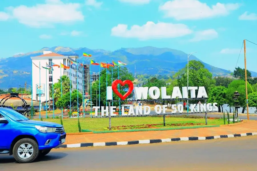
Sodo
ℹ️Practical info — Sodo
▾
🌤 Weather — 5 days
📍 Nearby
Sights nearby
💡 Tips
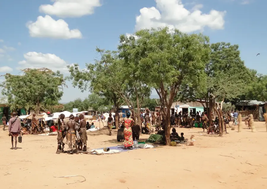
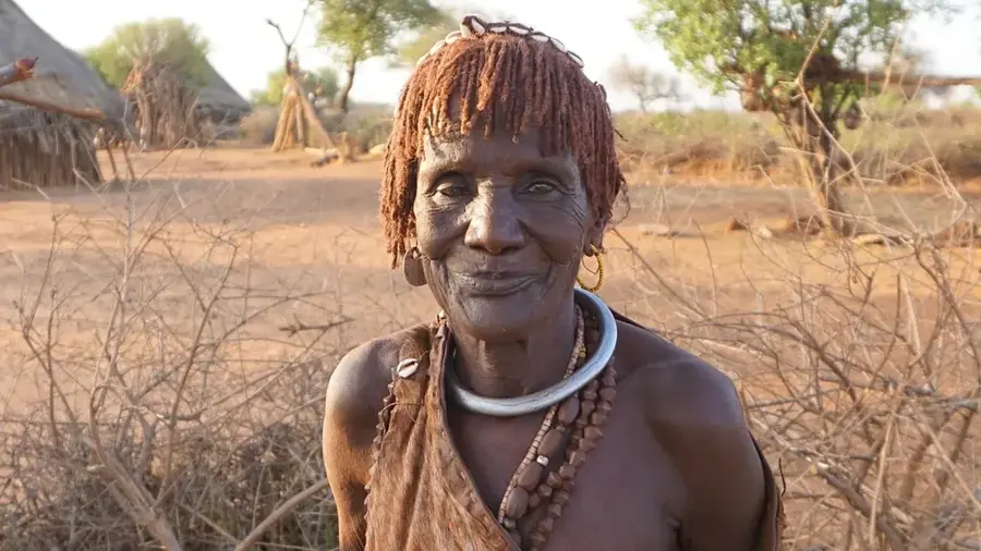
- Sodo is the center of the Wolaita zone, making it a great place to experience the unique Wolaita culture and music.
- The town is situated at the foot of Mount Damot; hiring a local guide for a morning hike up the mountain features spectacular views.
- Bajaj (three-wheeled taxis) are the main mode of transport within the town; negotiate the fare before getting in.
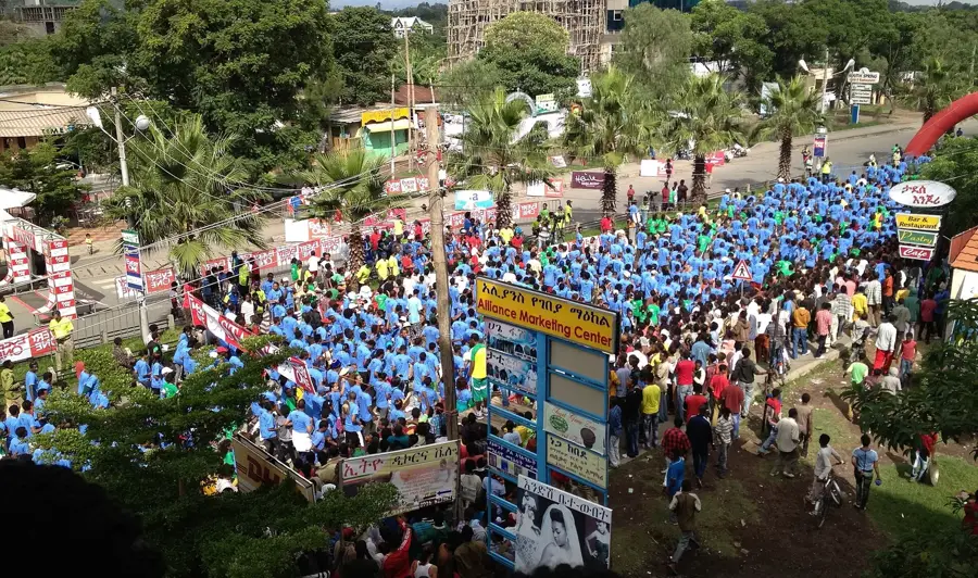
- Check the local calendar for the Fichee-Chambalaalla New Year festival, a massive and animated cultural celebration if your timing aligns.
🍽 Food
Try dishes made from kocho or bulla, the traditional staples of the Wolaita people, available in local eateries.
Minced beef dish served with kocho, widely popular in southern Ethiopia.
Buy fresh mangoes, avocados, and bananas from street vendors, grown in the fertile surrounding areas.
🛍 Shopping · 🧘 Quiet spots
A great place to buy traditional Wolaita cotton clothes with distinctive colorful patterns.
Explore the spice stalls for fresh berbere and korarima.
The lower trails of Mount Damot provide a peaceful escape from the bustling town center.
Though a bit of a drive, the surrounding countryside near the falls is incredibly tranquil.
Water temperature…
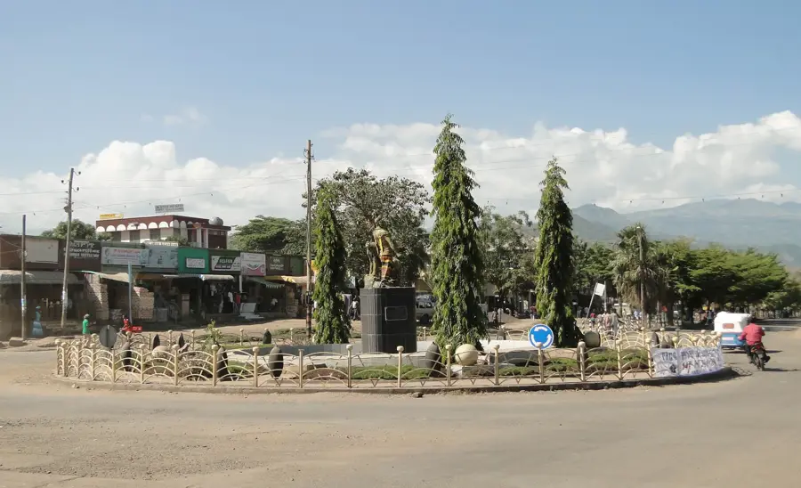
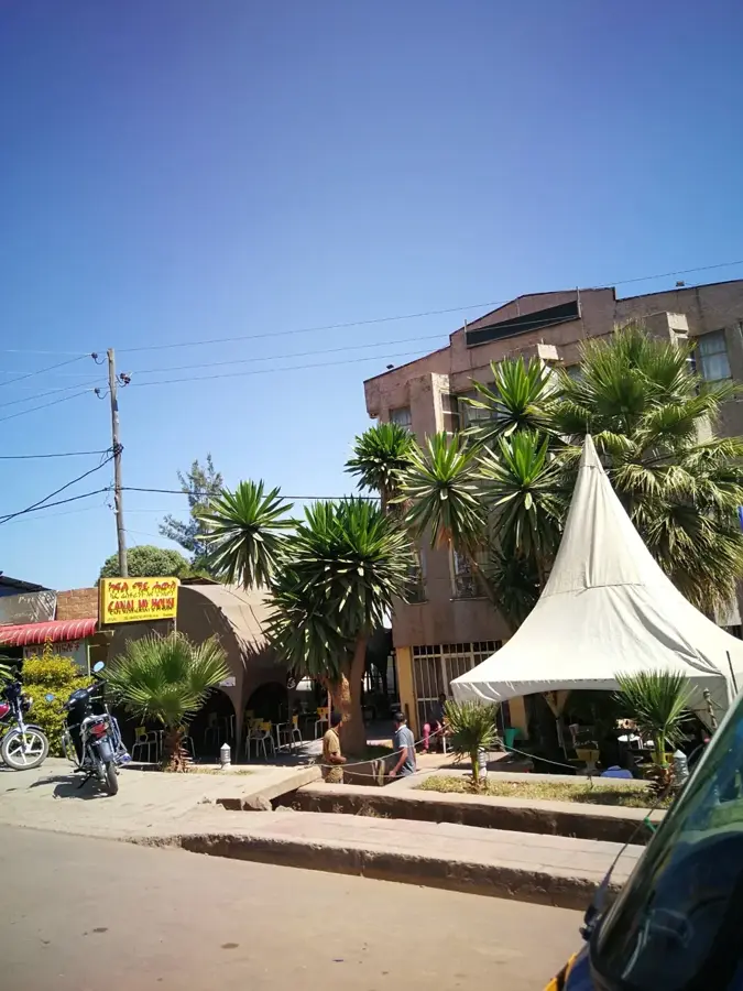
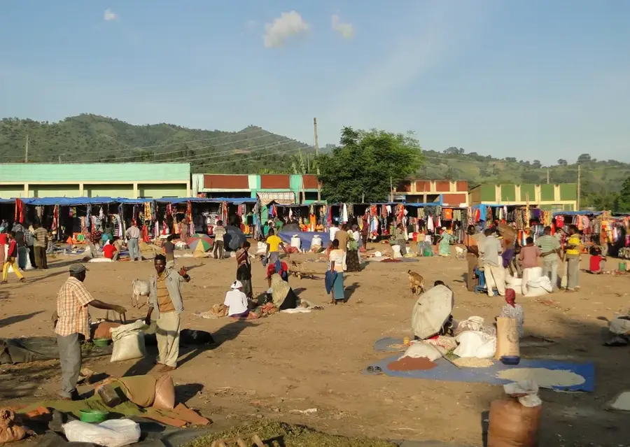
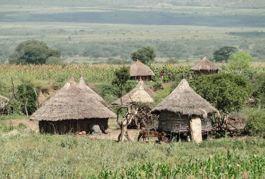
Sodo, also known as Wolaita Sodo, is the capital of the Wolayita Zone in southern Ethiopia. The city is situated in a hilly landscape at an elevation ranging from 1,600 to 2,100 meters, serving as the hub of one of the country's most densely populated regions. Sodo is a vital commercial center for agricultural goods such as coffee, grains, and spices. The town is home to Wolaita Sodo University, established in 2007, which has played a key role in the cultural and economic growth of the region. A significant landmark is St. Mary's Cathedral, which is the seat of the Roman Catholic Apostolic Vicariate of Soddo. The city's surroundings are marked by the imposing Mount Damota, an essential water tower for the local area. Sodo acts as a major transportation link, connecting the southern highlands with the Great Rift Valley. The local culture of the Wolayita people is deeply integrated into the city's identity, visible through traditional music and artisanal crafts found in local markets.
- Location: Ethiopia
- Top sights: Maedot Wolayta · ደመቀ ሙሉጌታ · historic sites
- Nearby: Hosaena (61 km)
- Population: ~204.100 (2025)
Best time to visit & climate
The most pleasant time to visit is Jan, Feb, Dec.
| Jan | Feb | Mar | Apr | May | Jun | Jul | Aug | Sep | Oct | Nov | Dec | |
|---|---|---|---|---|---|---|---|---|---|---|---|---|
| Avg °C | 21 | 22 | 23 | 21 | 20 | 19 | 18 | 18 | 19 | 19 | 19 | 19 |
| Rain mm | 18 | 35 | 89 | 200 | 203 | 110 | 130 | 168 | 158 | 132 | 80 | 32 |
Geography
Facts
- Administrative capital of the Wolayita Zone in South Ethiopia.
- Wolaita Sodo University was established in the year 2007.
- Located at an elevation between 1,600 and 2,100 meters.
- Seat of the Roman Catholic Apostolic Vicariate of Soddo.
- Mount Damota nearby rises to an altitude of 2,900 meters.
- Key commercial hub for the regional trade of coffee and spices.
Explore nearby
Notable places around
Route planner — Car & Motorhome
Where do you start? We build the route here, with stops and country notes along the way.
© OpenStreetMap contributors · OpenRouteService
Sights in the town Sodo (4)
Frequently asked questions
What culture characterizes Sodo?
What is the landmark of Sodo?
What is the economic situation?
Are there museums?
How do you get to Sodo?
Sodo: where is it located?
Sodo: what is there to see?
Sodo: when is the best time to visit?
Sodo: why is it worth visiting?

Nearby cities
History & landmarks
Nature
More places