Plizio Visual Lab
Lake Abaya

Weather…
Water temperature…
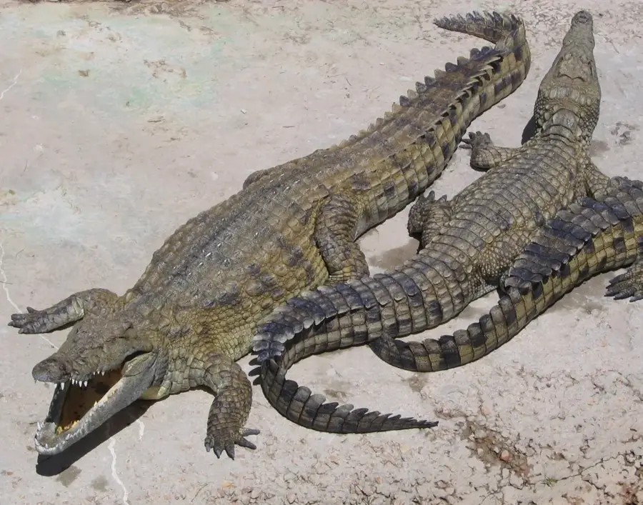
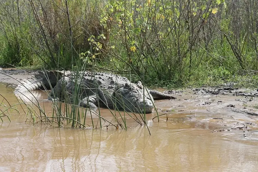
Lake Abaya is the largest lake in the Ethiopian Rift Valley, situated in the Gamo Gofa Zone of southern Ethiopia. Covering an area of approximately 1,162 square kilometers and stretching over 60 kilometers in length, it is a dominant feature of the landscape north of Arba Minch. The lake is uniquely characterized by its reddish-brown color, which results from a high concentration of suspended sediments carried by tributary rivers like the Bilate. Despite its vast surface area, Lake Abaya is relatively shallow, with a maximum depth of around 13 meters. It contains several islands, the largest being Gidicho Island, inhabited by the Haruro people who are known for their traditional boat-building and fishing skills. The lake supports large populations of Nile crocodiles and hippopotamuses, although the murky water often obscures them from view. Geologically, it sits in a tectonically active depression, separated from the southern Lake Chamo by a scenic volcanic ridge.
- Location: Ethiopia
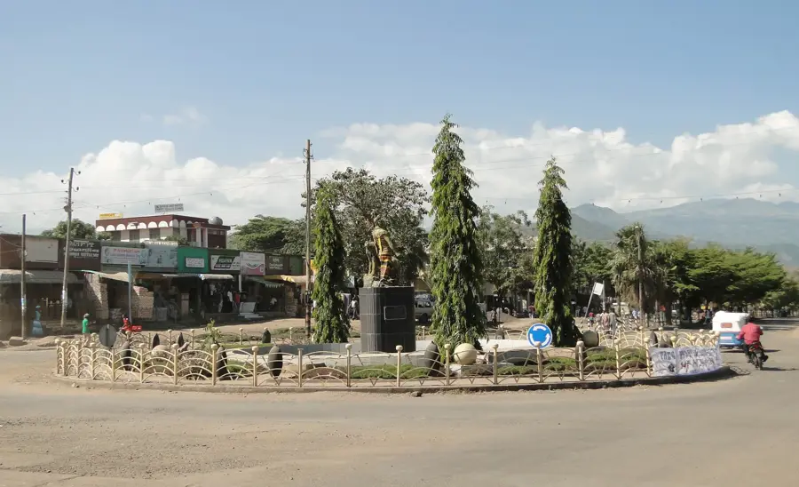
- Nearby: Arba Minch (42 km)
📋 Practical info
Geography
Facts
- The lake covers a total area of approximately 1,162 km².
- Its distinctive red hue comes from iron-rich sediments.
- The maximum depth of the lake is only 13 meters.
- It extends over 60 km in length and up to 20 km in width.
- Gidicho Island is the largest of several islands in the lake.
- The lake is situated at an elevation of 1,285 meters above sea level.
Explore nearby
Notable places around
Route planner — Car & Motorhome
Where do you start? We build the route here, with stops and country notes along the way.
© OpenStreetMap contributors · OpenRouteService
Sights nearby
Frequently asked questions
Why does Lake Abaya have a reddish color?
Is Lake Abaya larger than Lake Chamo?
Are there islands in Lake Abaya?
What fish live in the lake?
Can you see the lake from Arba Minch?
Lake Abaya: where is it located?
Lake Abaya: why is it worth visiting?

Nearby cities


History & landmarks
Nature

More places