Plizio Visual Lab
Shambu
ℹ️Practical info — Shambu
▾
🌤 Weather — 5 days
📍 Nearby
Sights nearby
💡 Tips
- Situated at a higher altitude, so evenings can be quite cool; bring warm layers.
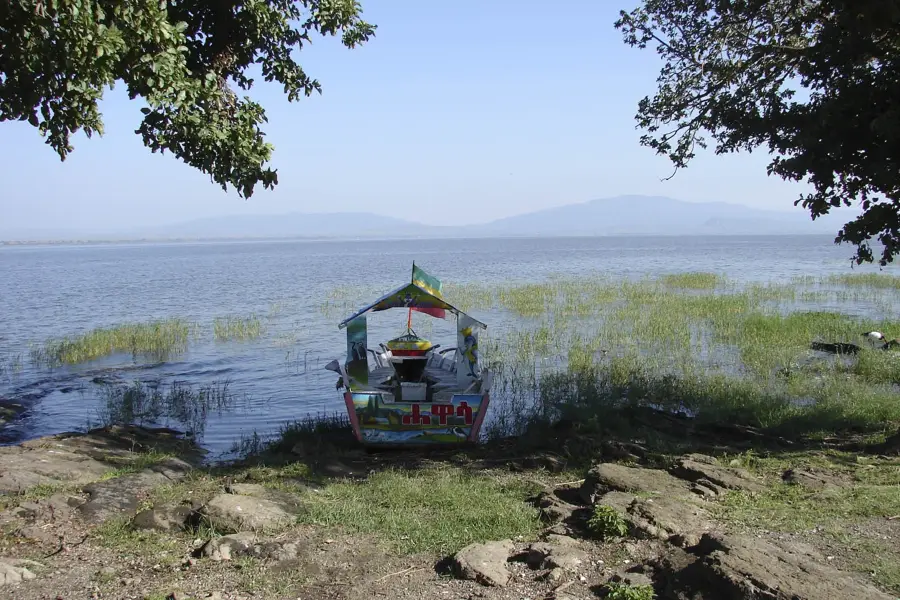
- Access to Lake Fincha requires local guidance due to shifting road conditions.
- A major agricultural area, the local market is a great place to observe daily life.
- English is less commonly spoken, so learning a few words of Afaan Oromo is highly appreciated.
- Heavy rains can temporarily disrupt travel, so keep your schedule flexible.
🍽 Food
Specialty restaurants in the town center.
Local cafes serving traditional morning dishes.
Traditional eateries highlighting regional crops.
🛍 Shopping · 🧘 Quiet spots
Shambu market.
Local shops and market stalls.
If accessible, features peaceful waterside views.
Panoramic views of the region and grazing cattle.
Water temperature…
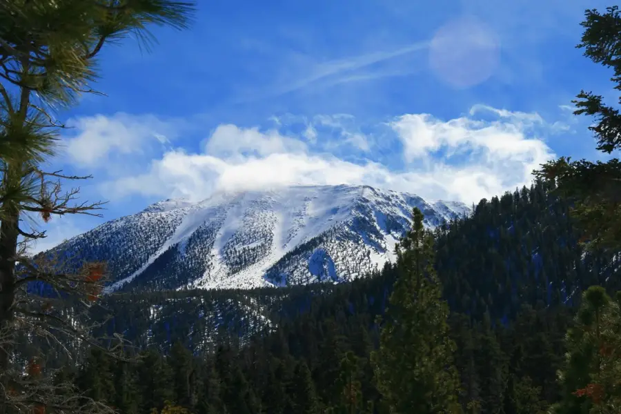
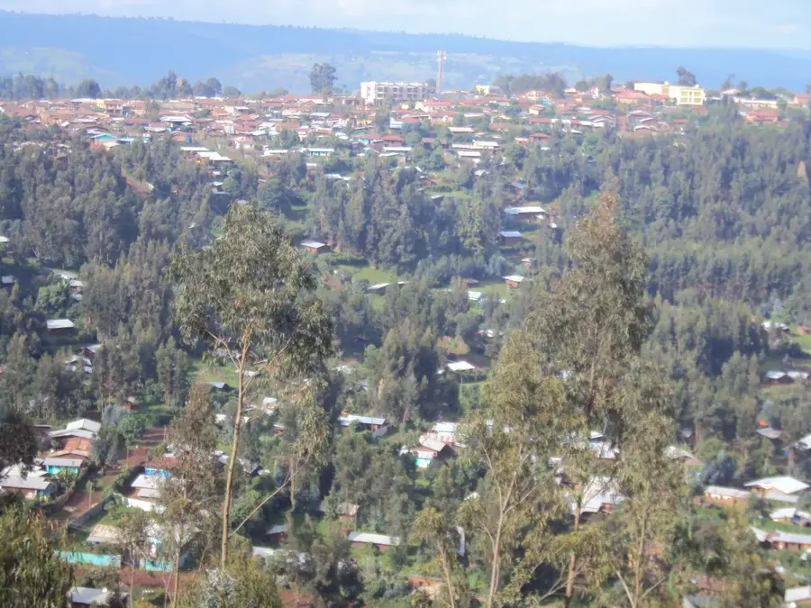
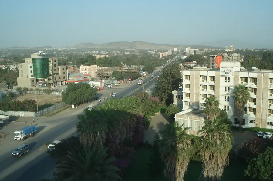
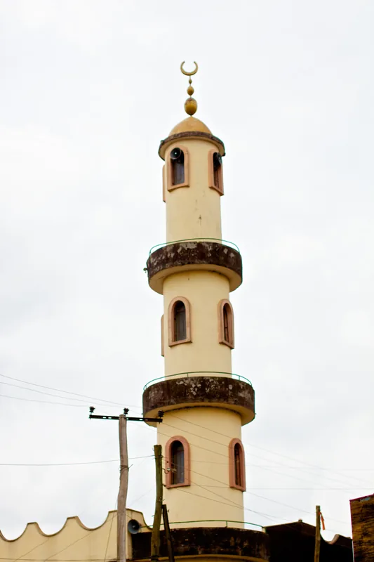
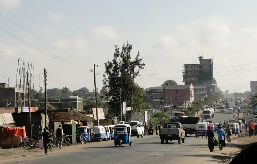
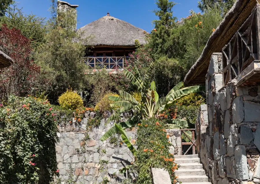
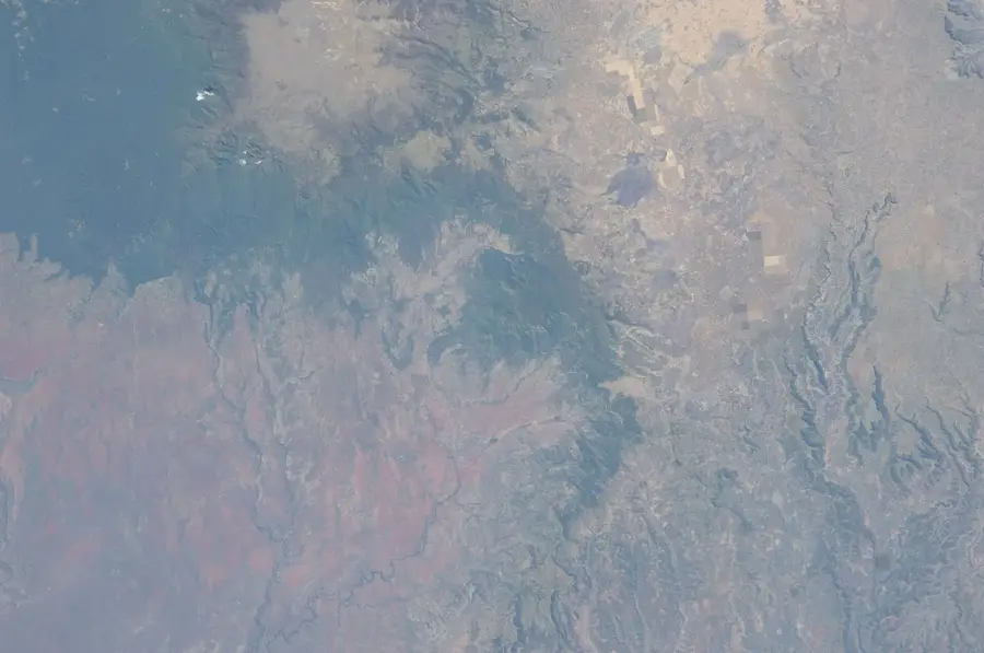
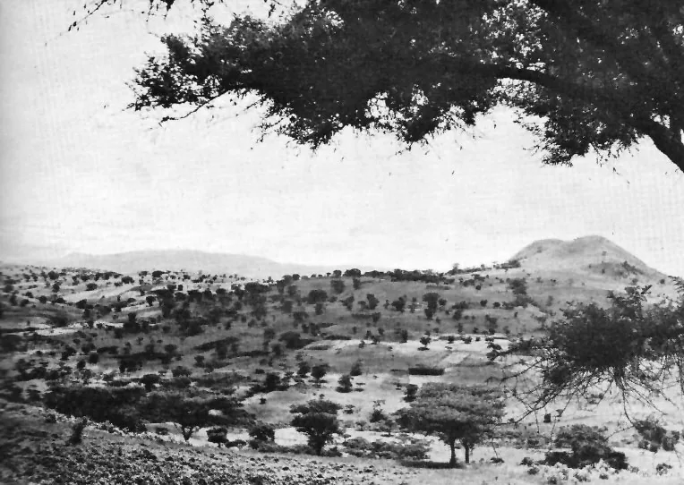
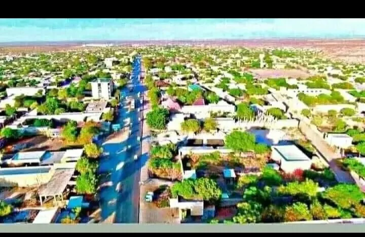
Shambu is located in the western highlands of Ethiopia and serves as the administrative center of the Horo Guduru Wollega Zone in the Oromia Region. At an elevation of approximately 2,503 meters, it is one of the cooler urban centers in the country, surrounded by a scenic mountainous landscape. A significant feature of the nearby region is the Fincha'a Lake and its dam, which is used for both hydroelectric power generation and the irrigation of sugar cane plantations. Shambu's economy is primarily based on agriculture, specifically the cultivation of highland cereals like wheat and barley, alongside livestock rearing. Historically, the town was a prominent administrative and trade hub within the former Wollega province. The inhabitants of Shambu maintain a strong connection to Oromo cultural traditions, which are evident in local festivals and social organization. The town has evolved into an important educational and commercial node for the highland population in western Ethiopia.
- Location: Ethiopia
- Nearby: Fincha (30 km)
- Population: ~31.100 (2023)
Best time to visit & climate
The most pleasant time to visit is Jan, Feb, Dec.
| Jan | Feb | Mar | Apr | May | Jun | Jul | Aug | Sep | Oct | Nov | Dec | |
|---|---|---|---|---|---|---|---|---|---|---|---|---|
| Avg °C | 20 | 22 | 23 | 23 | 22 | 19 | 17 | 17 | 18 | 19 | 19 | 19 |
| Rain mm | 11 | 18 | 40 | 68 | 171 | 269 | 323 | 324 | 267 | 77 | 33 | 13 |
Geography
Facts
- Administrative center of the Horo Guduru Wollega Zone.
- Located at a high altitude of 2,503 meters in the highlands.
- Near the Fincha'a Lake and dam used for hydroelectricity.
- Historically a key administrative center of the former Wollega province.
- Economy is based on livestock rearing and highland cereal crops.
- Climate is characterized by cool temperatures and high precipitation.
Explore nearby
Notable places around
Route planner — Car & Motorhome
Where do you start? We build the route here, with stops and country notes along the way.
© OpenStreetMap contributors · OpenRouteService
Frequently asked questions
What is the Shambu region known for?
What is the climate like in Shambu?
Are there natural beauties near Shambu?
How do you reach Shambu?
Is Shambu developed for tourism?
Shambu: where is it located?
Shambu: when is the best time to visit?
Shambu: why is it worth visiting?

Nearby cities


History & landmarks
Nature
More places