Plizio Visual Lab
Hlatikulu
ℹ️Practical info — Hlatikulu
▾
🌤 Weather — 5 days
📍 Nearby
Sights nearby
💡 Tips
- Due to its elevated location on a ridge, the weather can be cooler and mistier than in the lowlands; always bring an extra layer.
- Driving involves navigating steep and winding roads, so take it slow.
- Cash (Lilangeni or South African Rand) is widely used in smaller shops.
- Enjoy the panoramic views of the Grand Valley from various vantage points in town.
🍽 Food
Barbecued meats served at local roadside eateries or casual diners.
A traditional thick porridge usually eaten with meat stews or vegetables.
Buy fresh, creamy avocados from street vendors when in season.
🛍 Shopping · 🧘 Quiet spots
Roadside stalls offering the region's agricultural harvest.
Look for small shops selling Swazi candles, beadwork, and woven items.
Find a quiet spot along the ridge to take in the vast landscape.
The grounds around this historic church offer a peaceful atmosphere.
Water temperature…
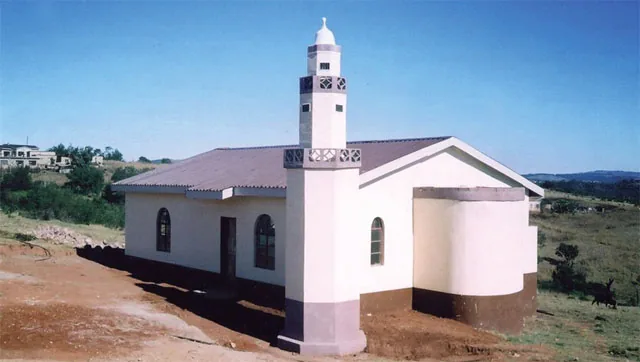
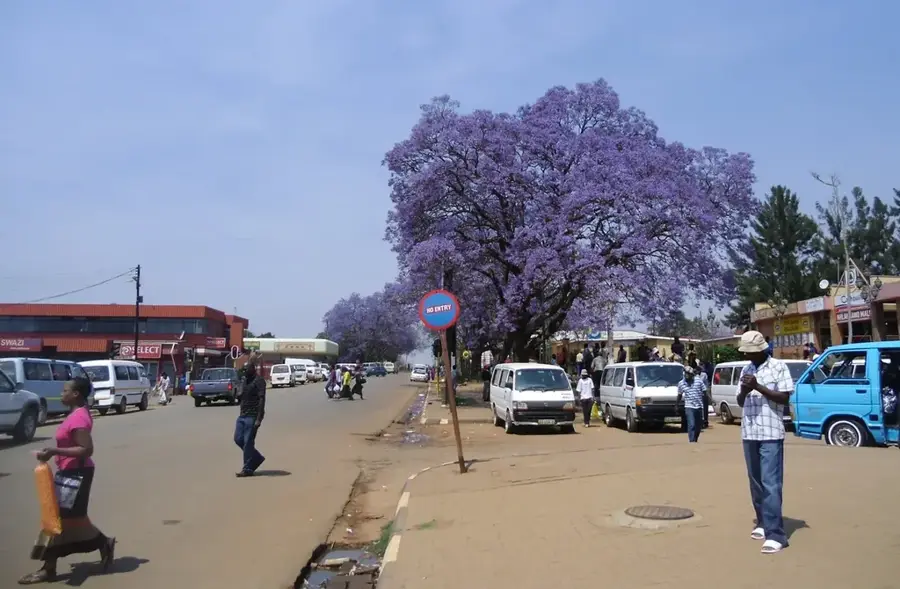
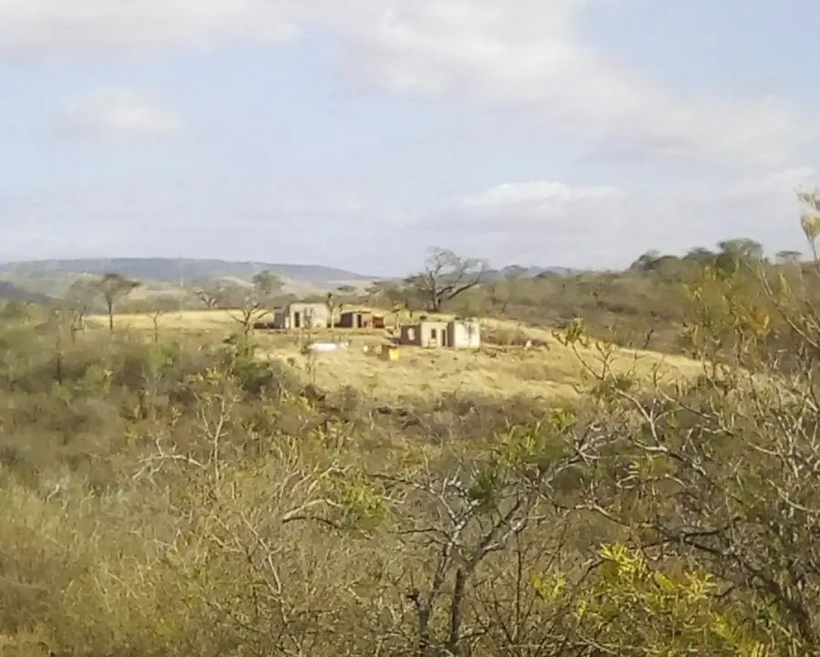
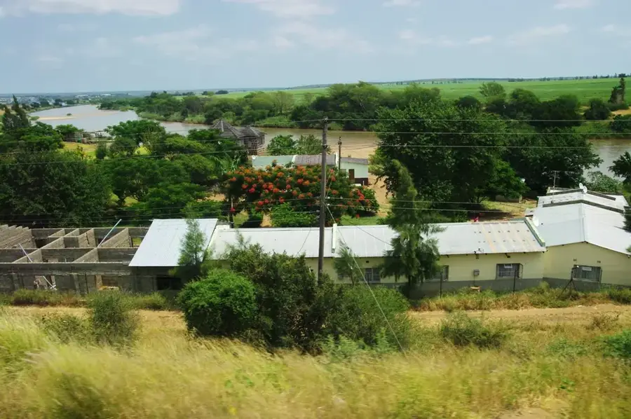
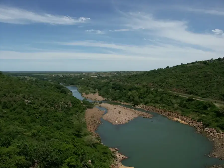
Hlatikulu is a characterful small town in the Shiselweni District, perched on a mountain ridge at around 1,250 meters elevation. Its name means 'great forest' in siSwati, recalling the once-dense woodland that covered the region. The town developed in the late 19th century as a British administrative post and as a Methodist and Anglican mission settlement. For many decades it was the most important center of southern Eswatini before Nhlangano took over that role. Despite its small size Hlatikulu has a rich cultural heritage, with well-preserved colonial-era architecture, an old magistrate's court and the famous Hlatikulu Government Hospital, one of the country's oldest medical institutions, still playing a central role in healthcare for the region. The local economy is based on subsistence farming, forestry and sheep ranching on the surrounding hills. Climatically Hlatikulu enjoys cool mountain summers and cold, often frosty winters, a climate otherwise rare in Eswatini. From the town's lookout point one can see the famous Hlatikulu Gorge and the vast maize fields of the Shiselweni Plateau, making the region an unforgettable destination for nature lovers.
- Location: Eswatini
- Nearby: Mahlalini (10 km)
- Population: ~2.748 (2024)
Best time to visit & climate
The most pleasant time to visit is Apr, Sep, Oct.
| Jan | Feb | Mar | Apr | May | Jun | Jul | Aug | Sep | Oct | Nov | Dec | |
|---|---|---|---|---|---|---|---|---|---|---|---|---|
| Avg °C | 23 | 23 | 22 | 19 | 17 | 14 | 14 | 16 | 19 | 20 | 21 | 23 |
| Rain mm | 125 | 93 | 84 | 48 | 16 | 10 | 12 | 15 | 29 | 59 | 102 | 113 |
Geography
Facts
- Hlatikulu is situated at an elevation of about 1,100 meters above sea level.
- The Hlatikulu Government Hospital was opened as early as the 1930s.
- The town was originally a center for British colonial administration.
- Hlatikulu means 'great forest' in the local Siswati language.
- The region is known for its granite formations and hilly terrain.
- The town sits at the junction of important regional roads leading south.
Explore nearby
Notable places around
Route planner — Car & Motorhome
Where do you start? We build the route here, with stops and country notes along the way.
© OpenStreetMap contributors · OpenRouteService
Frequently asked questions
How much time for Hlatikulu?
When is it worth visiting?
How to get to Hlatikulu?
What dishes can one try?
Is Hlatikulu suitable for families?
Hlatikulu: where is it located?
Hlatikulu: when is the best time to visit?
Hlatikulu: why is it worth visiting?

Nearby cities


Nature
More places