Plizio Visual Lab
Mhlambanyatsi
ℹ️Practical info — Mhlambanyatsi
▾
🌤 Weather — 5 days
📍 Nearby
Sights nearby
💡 Tips
- Experience the 'English countryside' feel in the heart of the vast Usutu pine forest.
- Book the famous Sunday lunch buffet at the Foresters Arms Hotel well in advance.
- Wear layers; the highland climate is significantly cooler and mistier than the Lowveld.
- Explore the forest trails through horseback riding or mountain biking for the best views.
- Drive cautiously on the winding roads, as thick fog is common in the mornings and evenings.
🍽 Food
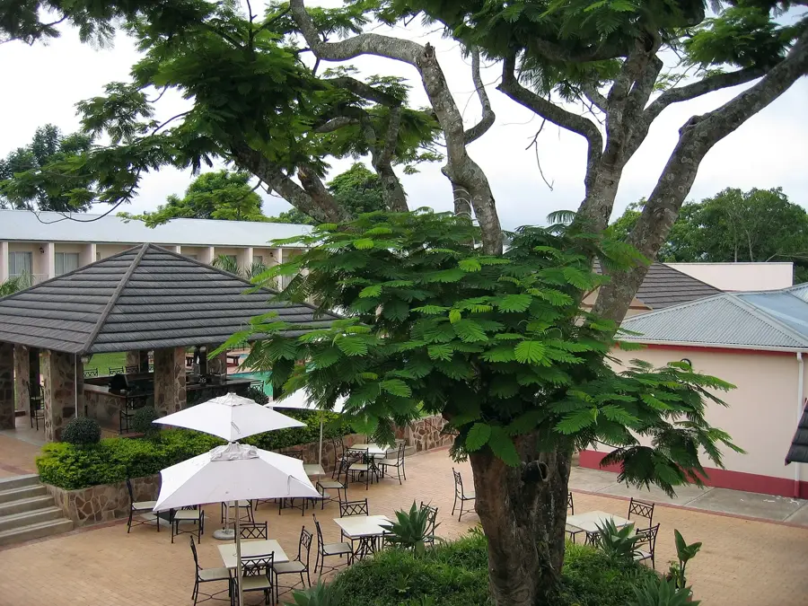
A legendary multi-course feast at the Foresters Arms Hotel.
Locally sourced from nearby dams and often featured on hotel menus.
Enjoy scones and cakes during afternoon tea by the fireplace.
🛍 Shopping · 🧘 Quiet spots
Beautiful hand-woven grass products from the nearby Malkerns Valley.
Exquisite hand-painted fabrics and clothing by local artisans.
A 1.5-hour forest path following the river, handy for peaceful reflection.
The lush gardens are a haven for colorful birdlife and quiet relaxation.
Water temperature…
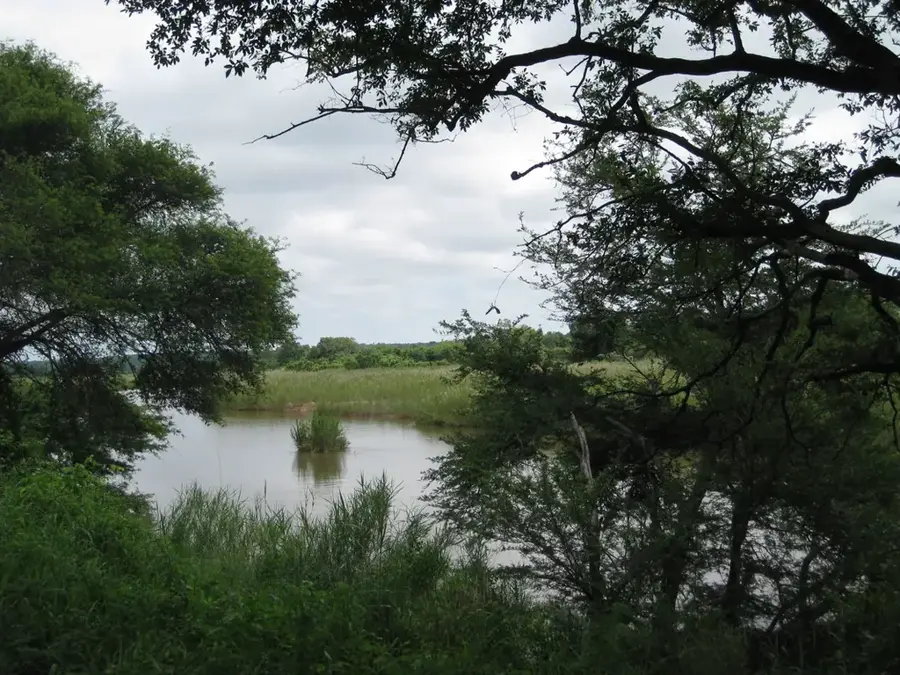
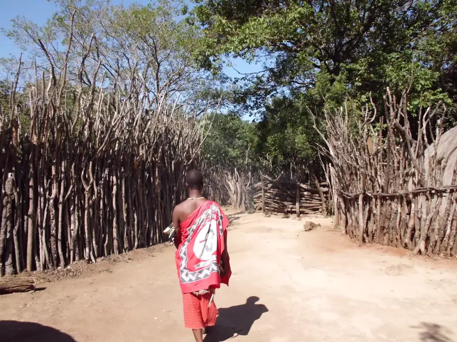
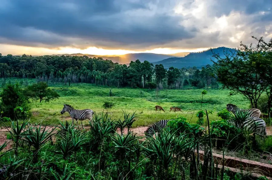
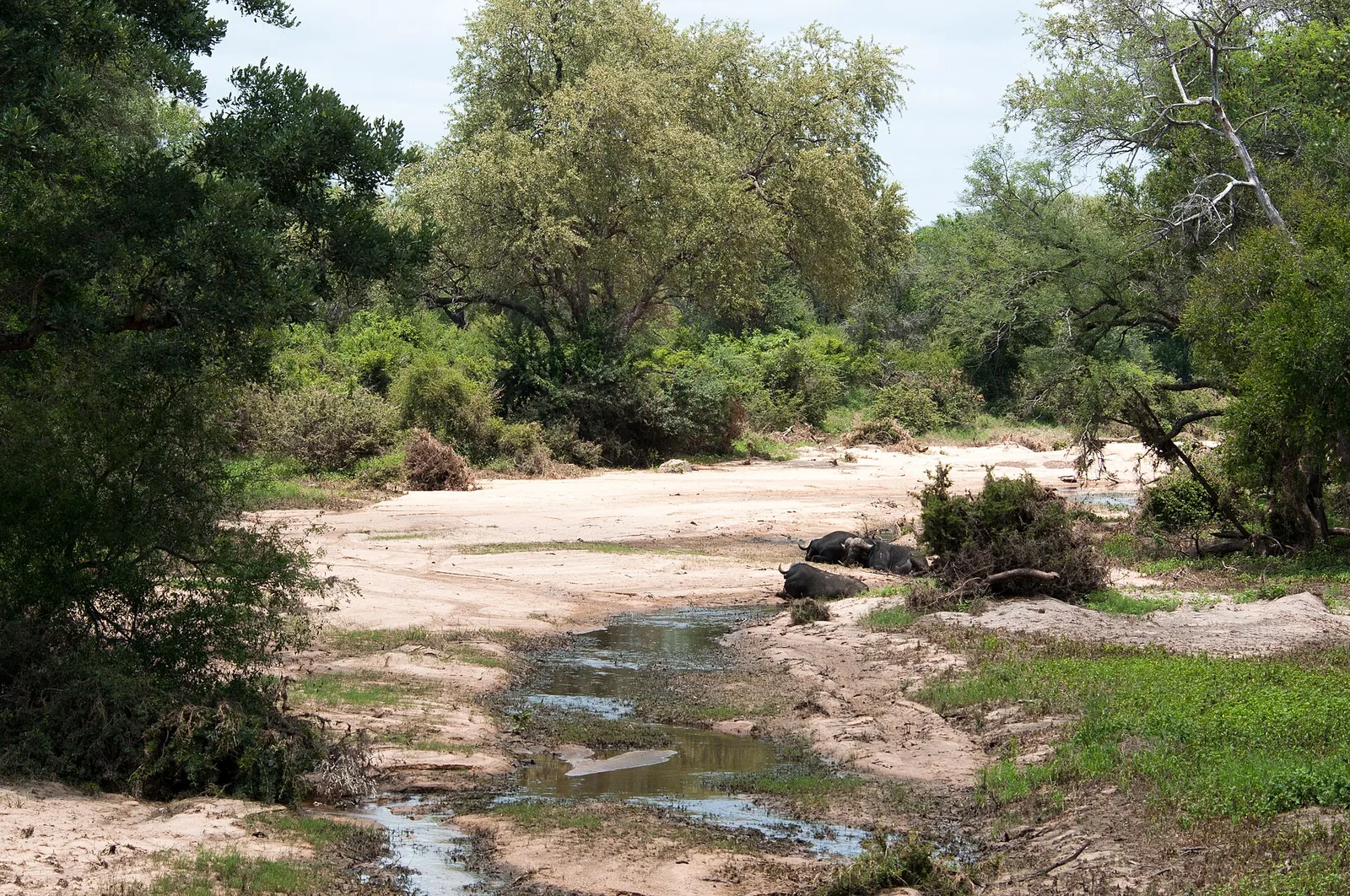
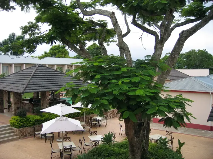
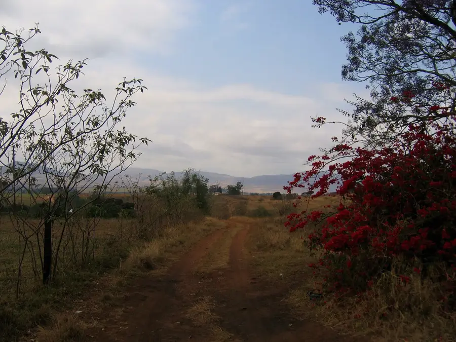
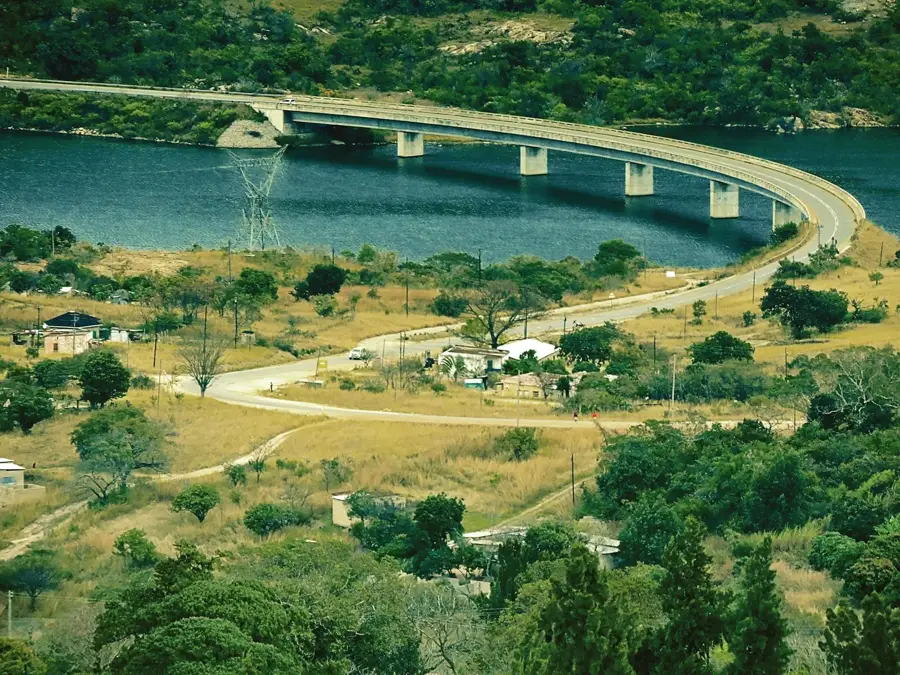
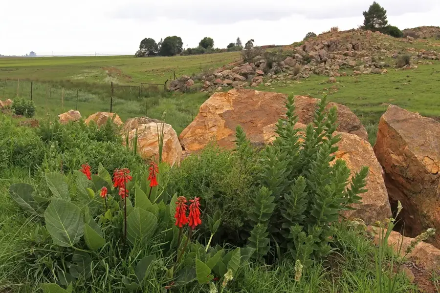
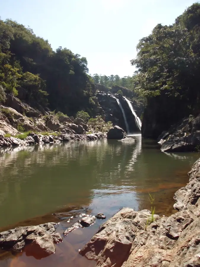
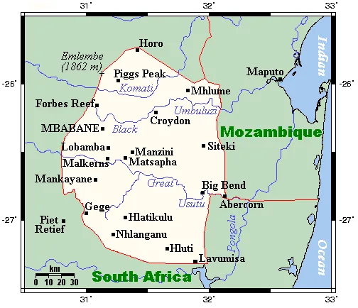
Mhlambanyatsi sits in the highlands of the Manzini District at around 1,300 meters elevation and is one of the most scenic places in Eswatini. The name means 'buffalo bath' in siSwati, recalling the days when Cape buffalo wallowed in the moist hollows here. Today the region is shaped above all by extensive pine and eucalyptus plantations, established since the 1950s in one of Africa's largest afforestation projects. At its center stands the Foresters Arms Hotel, a long-established country inn founded by British settlers, offering horse-riding stables, hiking trails and mountain-bike routes that draw both local families and international tourists. Climatically the area features cool summers and mild, frosty winters; the average annual temperature stays below 16 degrees Celsius. The Mhlambanyatsi region is also an important watershed, feeding several rivers that supply Mbabane and Manzini with water. Mountain bikers and hikers love the area for its misty cool landscapes, waterfalls and steep mountain passes. Nearby is also the Mlilwane Wildlife Sanctuary, designated in the 1960s as the first protected area in Eswatini.
- Location: Eswatini
- Nearby: Bhunya (9 km)
- Population: ~2.886 (2024)
Best time to visit & climate
The most pleasant time to visit is Apr, Sep, Oct.
| Jan | Feb | Mar | Apr | May | Jun | Jul | Aug | Sep | Oct | Nov | Dec | |
|---|---|---|---|---|---|---|---|---|---|---|---|---|
| Avg °C | 23 | 23 | 22 | 19 | 17 | 15 | 14 | 17 | 20 | 21 | 22 | 23 |
| Rain mm | 137 | 96 | 86 | 53 | 16 | 10 | 12 | 13 | 29 | 59 | 104 | 122 |
Geography
Facts
- Mhlambanyatsi is located at an elevation of approximately 1,200 meters above sea level.
- The name Mhlambanyatsi translates to 'Buffalo Wallow' in the SiSwati language.
- The Usutu forests were established starting in 1949 by the Commonwealth Development Corporation.
- The town hosts the renowned Foresters Arms hotel complex.
- The region is a hub for equestrian tourism and trout fishing.
- Mhlambanyatsi features one of the highest-rated golf courses in Eswatini.
Explore nearby
Notable places around
Route planner — Car & Motorhome
Where do you start? We build the route here, with stops and country notes along the way.
© OpenStreetMap contributors · OpenRouteService
Frequently asked questions
How much time to plan for Mhlambanyatsi?
When is the best time for Mhlambanyatsi?
How is it best to get there?
What food is there in the area?
Is Mhlambanyatsi a family-friendly destination?
Mhlambanyatsi: where is it located?
Mhlambanyatsi: when is the best time to visit?
Mhlambanyatsi: why is it worth visiting?

Nearby cities


History & landmarks


Nature
More places