Plizio Visual Lab
Mankayane
ℹ️Practical info — Mankayane
▾
🌤 Weather — 5 days
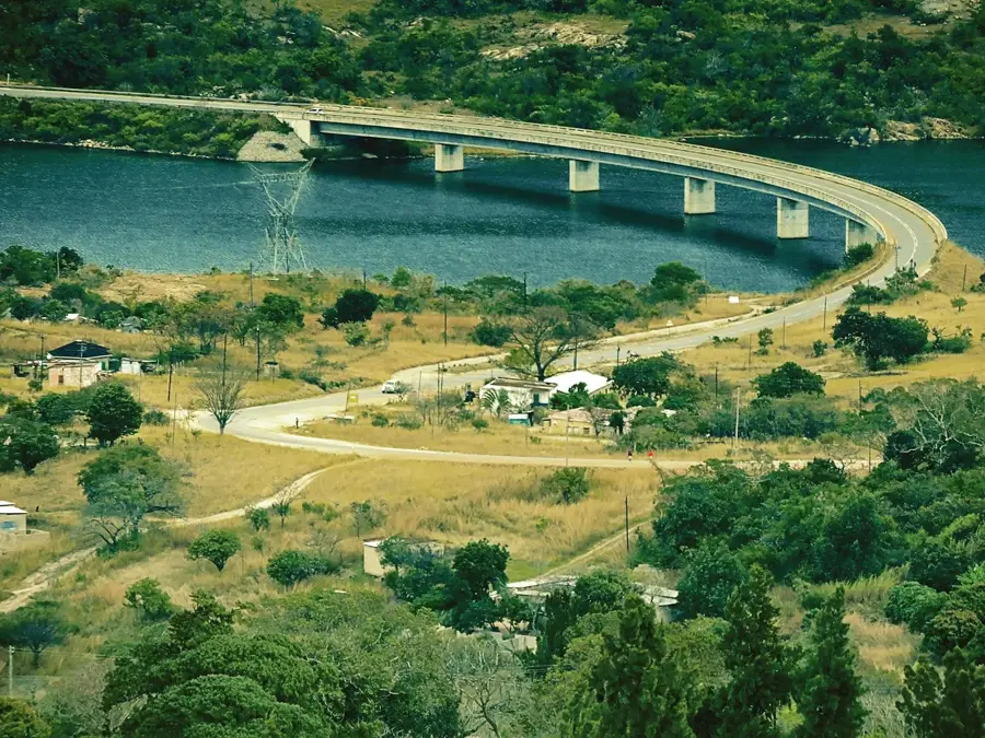
📍 Nearby
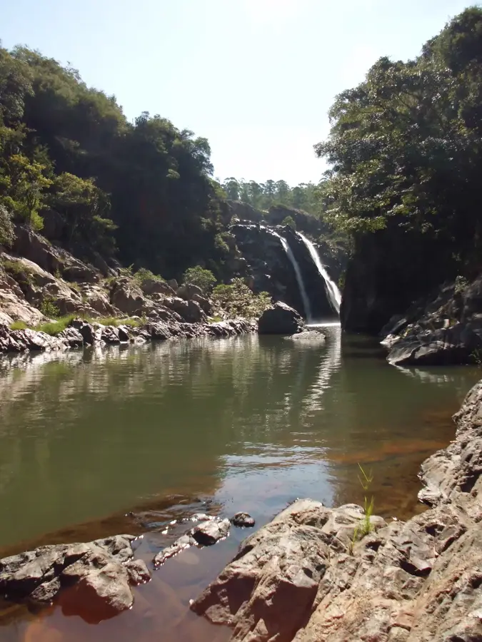
Sights nearby
💡 Tips
- Enjoy the cooler mountain temperatures; Mankayane is a pleasant break from the hot Lowveld.
- Visit the local market in the morning when surrounding farmers bring their freshest produce.
- Use the town as a base for scenic drives through the Highveld landscape.
- Be prepared for winding roads; the drive features spectacular views but requires caution.
- Inquire at the administrative center about local community events or traditional festivals.
🍽 Food
Look for pure local honey in the market, known for its rich and distinct flavor.
A traditional dish of sour milk and maize kernels, popular in local homes and cafes.
Depending on the season, look for fruits that thrive in the cooler mountain air at roadside stalls.
🛍 Shopping · 🧘 Quiet spots
Excellent for hand-woven mats and traditional Swazi clothing.
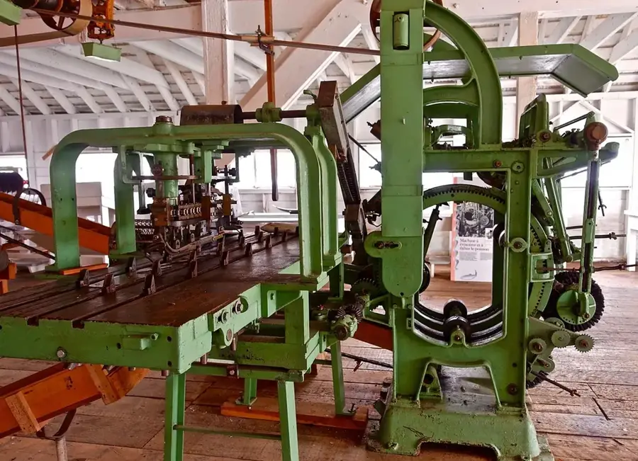
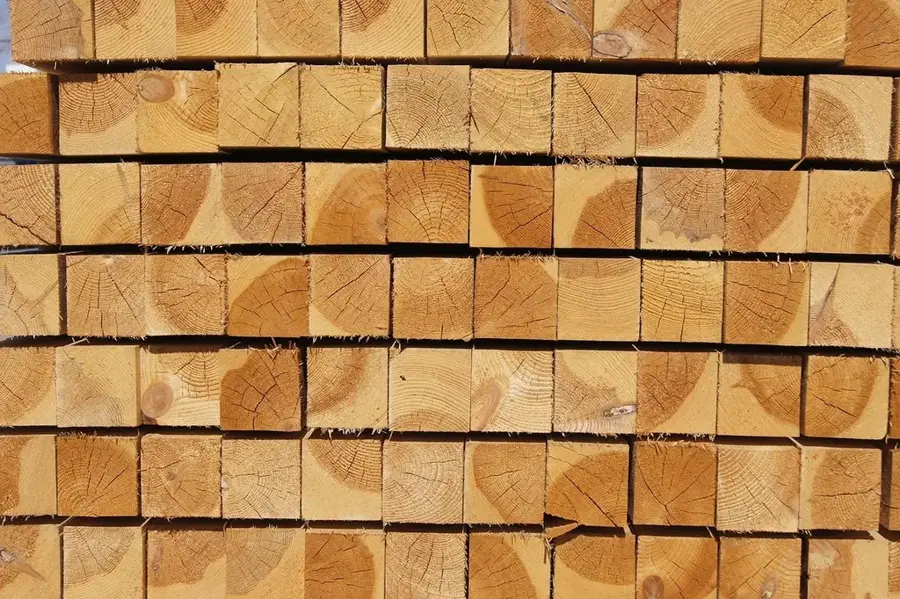
The region is known for forestry; you can often find interesting plants for the garden here.
In the nearby pine forests, there are quiet paths for relaxed walks.
A short walk to the outskirts of town features silence and a view over the valley.
Water temperature…
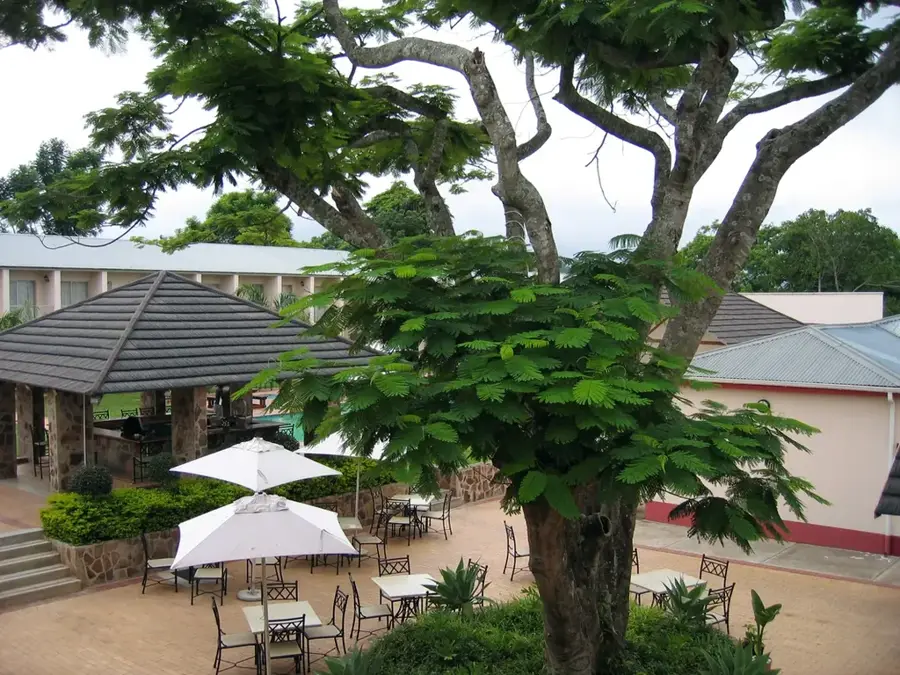
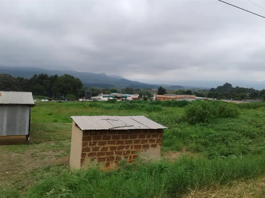
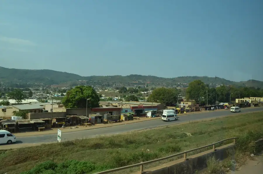
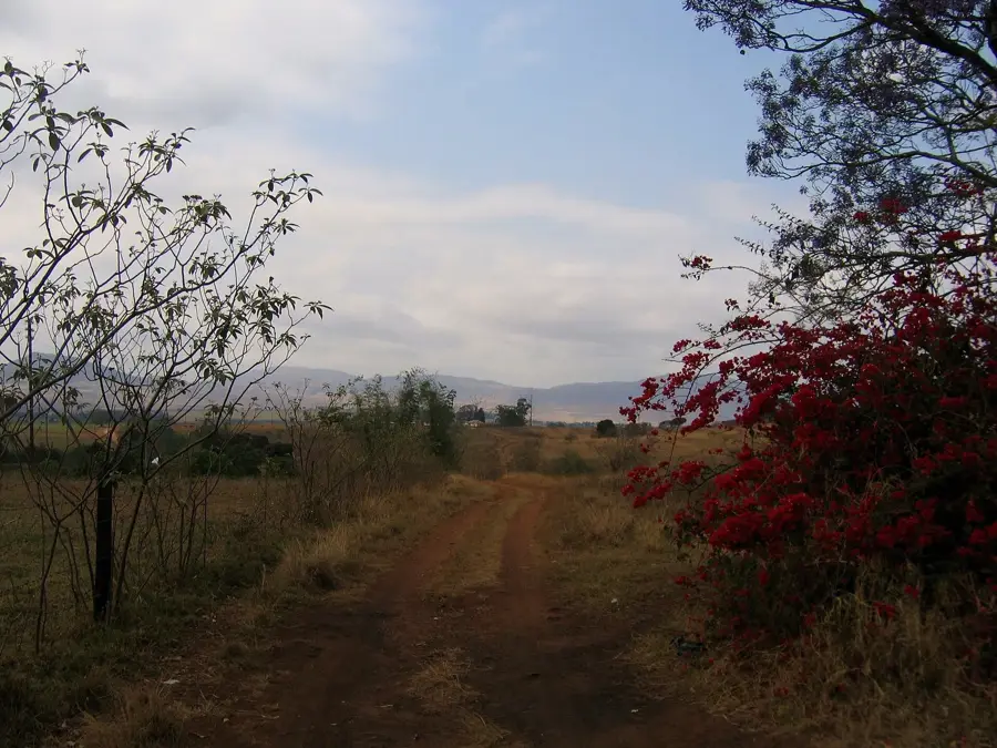
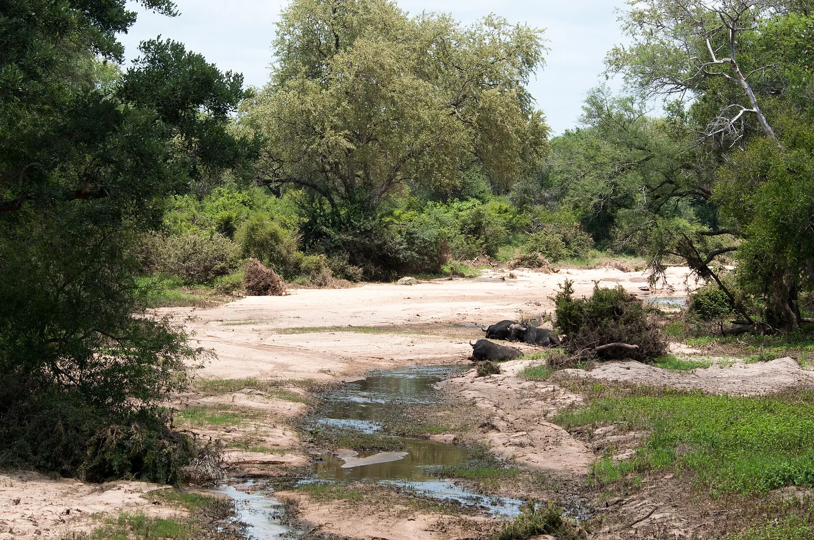
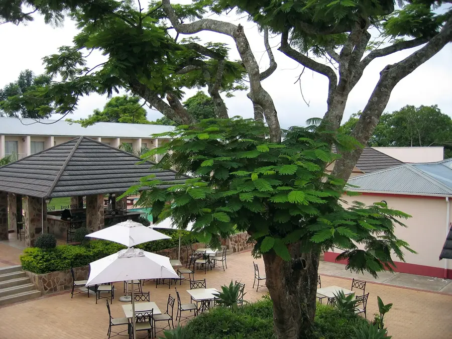
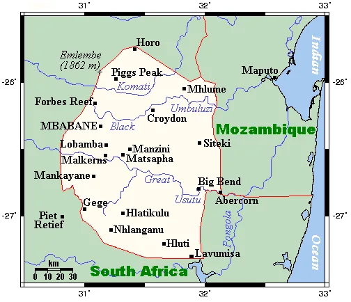
Mankayane is a characterful mountain town in the Manzini District at around 1,300 meters elevation, regarded as the administrative seat of the Mankayane Inkhundla. The town sits in hilly countryside dotted with maize fields, eucalyptus groves and small Swazi villages. Mankayane plays an important role as a regional service and education hub: it hosts the Mankayane Government Hospital, several secondary schools and a local magistrate. Economically the region is based on subsistence agriculture, especially maize, alongside forestry and small craft enterprises. In recent years Mankayane has also developed into a center for rural cooperatives specializing in beekeeping, mushroom growing and medicinal herbs. The climate is temperate, with cool winters that can occasionally bring frost and warm summers with frequent afternoon thunderstorms. The region is also culturally significant: traditional Sibhaca dances, marula festivals and initiation rites are held here and remain a central part of local identity. Mankayane is surrounded by dramatic views of the Lubombo Mountains in the east and the Bhunya forestry area in the west, making it a popular destination for hikers and nature lovers.
- Location: Eswatini
- Nearby: Abercorn (11 km)
Best time to visit & climate
The most pleasant time to visit is Apr, Sep, Oct.
| Jan | Feb | Mar | Apr | May | Jun | Jul | Aug | Sep | Oct | Nov | Dec | |
|---|---|---|---|---|---|---|---|---|---|---|---|---|
| Avg °C | 23 | 23 | 22 | 19 | 17 | 15 | 14 | 17 | 20 | 21 | 22 | 23 |
| Rain mm | 137 | 96 | 86 | 53 | 16 | 10 | 12 | 13 | 29 | 59 | 104 | 122 |
Geography
Facts
- Mankayane is situated at an elevation of approximately 950 meters.
- The town is a significant center for forestry operations in the west.
- The Mankayane Government Hospital was expanded during the 1950s.
- The name Mankayane is derived from a local traditional leader.
- The region is known for higher rainfall levels compared to the Lowveld.
- The town is located on the main road connecting Manzini with the Sicunusa border post.
Explore nearby
Notable places around
Route planner — Car & Motorhome
Where do you start? We build the route here, with stops and country notes along the way.
© OpenStreetMap contributors · OpenRouteService
Frequently asked questions
How much time to spend in Mankayane?
When is a visit recommended?
How to get to Mankayane?
What can you try here?
Is Mankayane family-friendly?
Mankayane: where is it located?
Mankayane: when is the best time to visit?
Mankayane: why is it worth visiting?

Nearby cities


History & landmarks


Nature
More places