Plizio Visual Lab
Tessenei Lowland

Weather…
Water temperature…
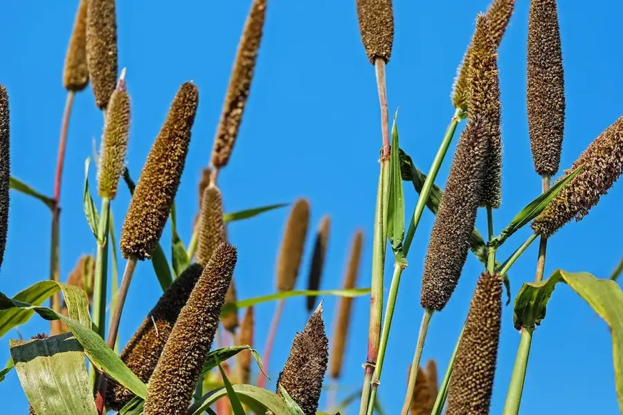
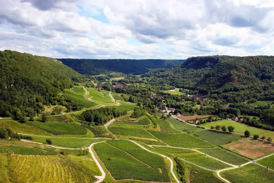
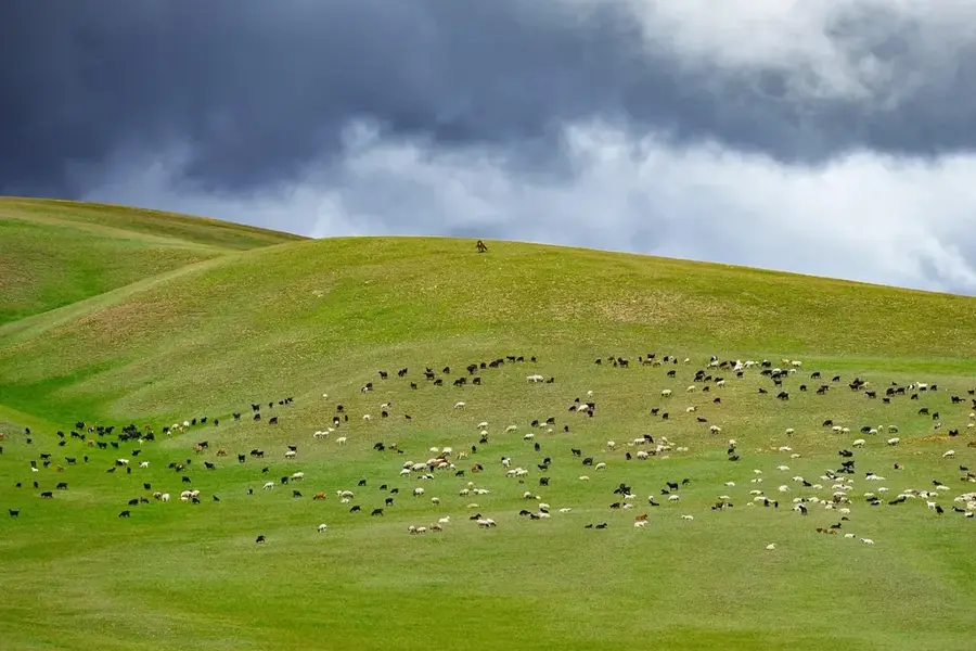
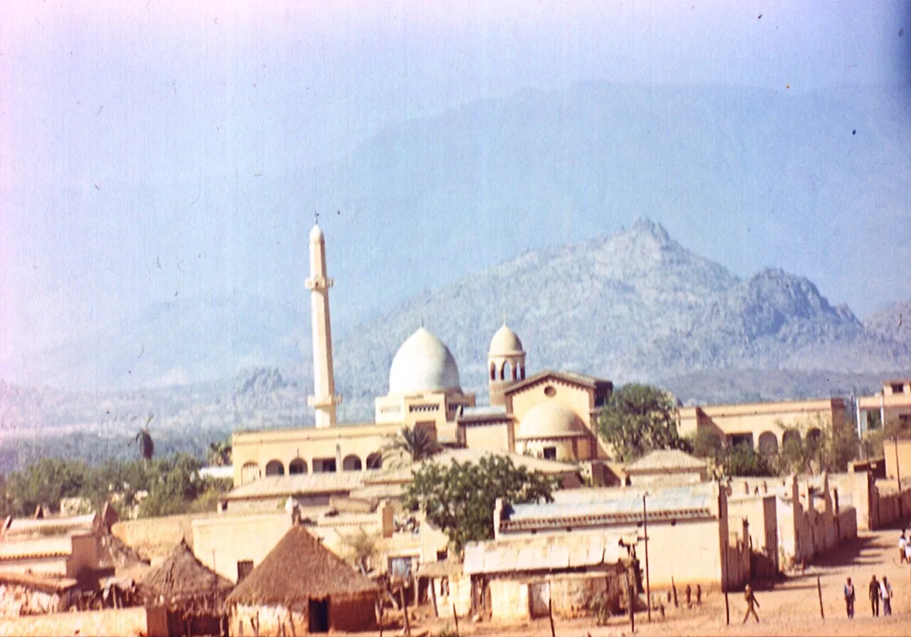
The Tessenei Lowland in far western Eritrea is a strategically vital border region adjoining Sudan. This vast plain is defined by an arid savanna climate and serves as the primary gateway for cross-border trade between the two nations. Geographically, the area is significantly influenced by the seasonal Gash River, which provides essential water for agriculture during the rainy months. Historically, Tessenei was a key theater during the Eritrean War of Independence and has since evolved into a major agricultural hub specializing in cotton and sesame for export. The town of Tessenei itself functions as a bustling commercial center where various ethnic groups, such as the Tigre and Nara, converge. While the flat topography facilitates large-scale farming, it also presents challenges regarding water resource management during prolonged dry spells.
Best time to visit & climate
The most pleasant time to visit is Jan, Feb, Dec.
| Jan | Feb | Mar | Apr | May | Jun | Jul | Aug | Sep | Oct | Nov | Dec | |
|---|---|---|---|---|---|---|---|---|---|---|---|---|
| Avg °C | 26 | 28 | 30 | 33 | 34 | 32 | 28 | 26 | 27 | 29 | 29 | 27 |
| Rain mm | 0 | 1 | 1 | 6 | 29 | 45 | 136 | 158 | 72 | 21 | 2 | 0 |
📋 Practical info
Geography
Facts
- Tessenei is situated at an elevation of about 600 meters above sea level.
- The seasonal Gash River usually reaches the lowland between July and September.
- The region is Eritrea's primary cultivation zone for industrial cotton.
- The distance to the Sudanese city of Kassala is only about 40 kilometers.
- Extensive irrigation schemes utilize water from the Gash River for crops.
- Summer temperatures in the lowland can frequently exceed 42 degrees Celsius.
Explore nearby
Notable places around
Route planner — Car & Motorhome
Where do you start? We build the route here, with stops and country notes along the way.
© OpenStreetMap contributors · OpenRouteService
Sights nearby
Frequently asked questions
Where is Tessenei-Tiefland located?
Is Tessenei-Tiefland safe for tourists?
What is the climate in Tessenei-Tiefland?
What are the main economic sectors in Tessenei-Tiefland?
Is there infrastructure for travelers in Tessenei-Tiefland?
Tessenei Lowland: where is it located?
Tessenei Lowland: when is the best time to visit?
Tessenei Lowland: why is it worth visiting?

Nearby cities

History & landmarks
More places