Plizio Visual Lab
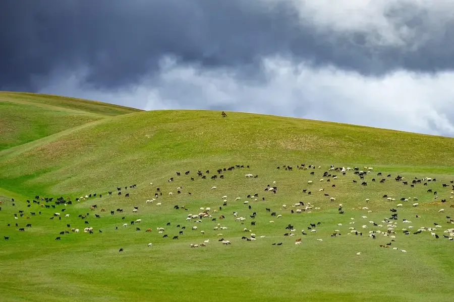
Gash-Barka grazing area
Weather…
Water temperature…
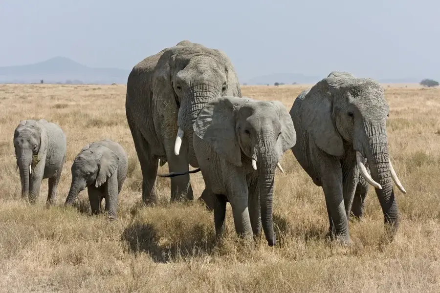
The grazing areas of Gash-Barka stretch across the vast western lowlands of Eritrea, forming the backbone of the nation's livestock industry. This region is characterized by semi-arid savannas that produce nutrient-rich vegetation during the rainy season from June to September. Pastoralism is deeply rooted here, with ethnic groups such as the Beni-Amer and Tigre traditionally migrating with their herds of cattle, camels, and goats between reliable water sources. Geographically, the area is defined by the seasonal Gash and Barka rivers, whose floodplains provide essential forage during the dry periods. In recent decades, modern veterinary stations and controlled watering points have been established to improve herd health and reduce land-use conflicts. Gash-Barka is often called Eritrea's 'breadbasket,' with livestock production contributing significantly to the national GDP and export earnings. Preserving these grasslands is crucial for the socioeconomic stability of nomadic and semi-nomadic communities.
- Location: Eritrea
- Nearby: Barentu (22 km)
Best time to visit & climate
The most pleasant time to visit is Jan, Nov, Dec.
| Jan | Feb | Mar | Apr | May | Jun | Jul | Aug | Sep | Oct | Nov | Dec | |
|---|---|---|---|---|---|---|---|---|---|---|---|---|
| Avg °C | 25 | 27 | 29 | 32 | 32 | 29 | 25 | 24 | 25 | 27 | 27 | 25 |
| Rain mm | 0 | 0 | 3 | 11 | 35 | 50 | 140 | 167 | 64 | 19 | 2 | 1 |
📋 Practical info
Geography
Facts
- Largest administrative region in Eritrea for grazing.
- High concentration of camels, cattle, and goats.
- Gash and Barka seasonal rivers are key water sources.
- Rainy season occurs between June and September.
- Major contributor to national GDP and export revenue.
- Home to the nomadic Beni-Amer and Tigre ethnic groups.
Explore nearby
Notable places around
Route planner — Car & Motorhome
Where do you start? We build the route here, with stops and country notes along the way.
© OpenStreetMap contributors · OpenRouteService
Sights nearby
Frequently asked questions
What animals graze in Gash-Barka Pasture Land?
When is best time to visit the pasture lands?
Can visitors meet herders and learn about their practices?
What hikes are possible in the pasture areas?
Are there local foods to try in the region?
Gash-Barka grazing area: where is it located?
Gash-Barka grazing area: when is the best time to visit?
Gash-Barka grazing area: why is it worth visiting?

Nearby cities

History & landmarks
More places