Plizio Visual Lab
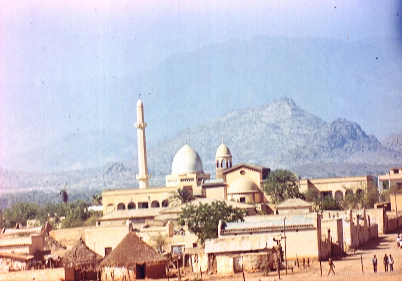
Gash-Barka grain cultivation

Weather…
Water temperature…
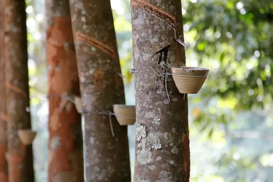
Grain cultivation in Gash-Barka is the backbone of Eritrean agriculture, providing the nation with essential staples such as sorghum, millet, and teff. This vast region in western Eritrea benefits from the fertile alluvial soils provided by the Gash and Barka rivers, which carry large volumes of water down from the highlands during the summer months. Cultivation takes place both in large-scale irrigation projects, such as the Aligider scheme, and through traditional rain-fed farming methods used by local farmers. The government has invested heavily in the construction of dams and canals to boost agricultural output and reduce dependence on food imports. Due to its high productivity, Gash-Barka is recognized as the 'breadbasket of Eritrea.' The harvesting season is a period of intense activity and plays a central role in the economic stability and food security of the entire country.
- Location: Eritrea
- Nearby: Barentu (36 km)
Best time to visit & climate
The most pleasant time to visit is Jan, Feb, Dec.
| Jan | Feb | Mar | Apr | May | Jun | Jul | Aug | Sep | Oct | Nov | Dec | |
|---|---|---|---|---|---|---|---|---|---|---|---|---|
| Avg °C | 26 | 28 | 30 | 32 | 33 | 31 | 28 | 26 | 27 | 29 | 28 | 26 |
| Rain mm | 0 | 1 | 2 | 9 | 20 | 30 | 97 | 130 | 41 | 8 | 1 | 0 |
📋 Practical info
Geography
Facts
- Gash-Barka is the largest of Eritrea's six regions by land area.
- Sorghum is the most widely cultivated grain crop in this region.
- The Aligider irrigation project encompasses thousands of hectares of farmland.
- The Gash and Barka rivers flow seasonally and eventually reach Sudan.
- The region also supports significant populations of livestock.
- Mechanized harvesters are increasingly used to improve agricultural efficiency.
Explore nearby
Notable places around
Route planner — Car & Motorhome
Where do you start? We build the route here, with stops and country notes along the way.
© OpenStreetMap contributors · OpenRouteService
Sights nearby
Frequently asked questions
When is harvest season at Gash-Barka Grain Farming?
Can you observe traditional farming methods?
How long is a visit to the grain facilities?
What grain types are grown in Gash-Barka?
Is it possible to buy grain products?
Gash-Barka grain cultivation: where is it located?
Gash-Barka grain cultivation: when is the best time to visit?
Gash-Barka grain cultivation: why is it worth visiting?

Nearby cities

History & landmarks
More places