Plizio Visual Lab
Barka Plain

Weather…
Water temperature…
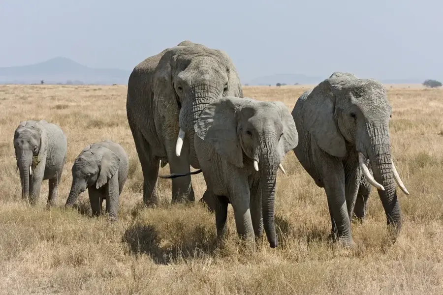
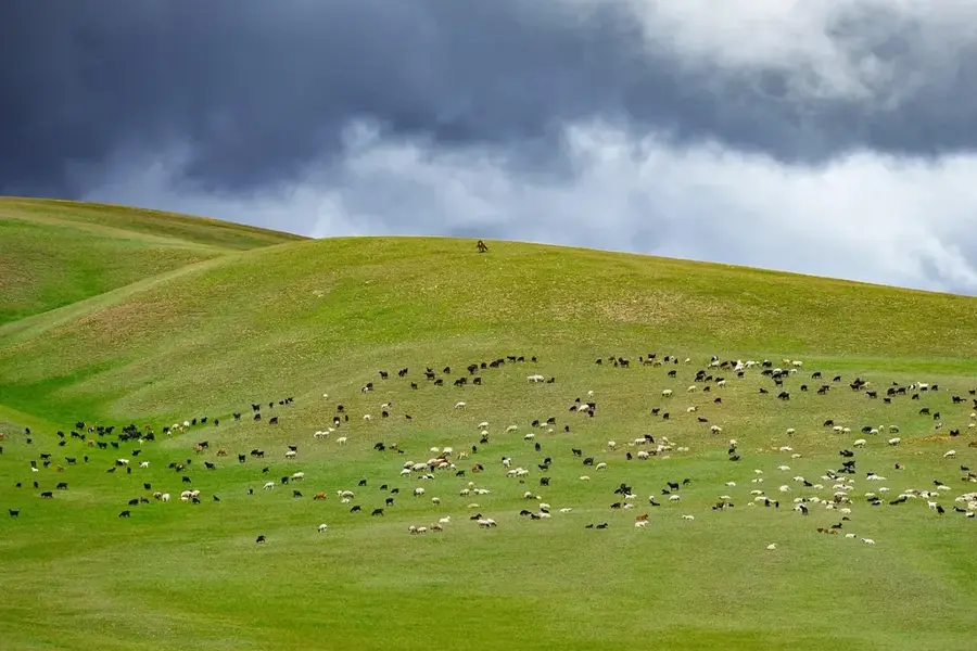
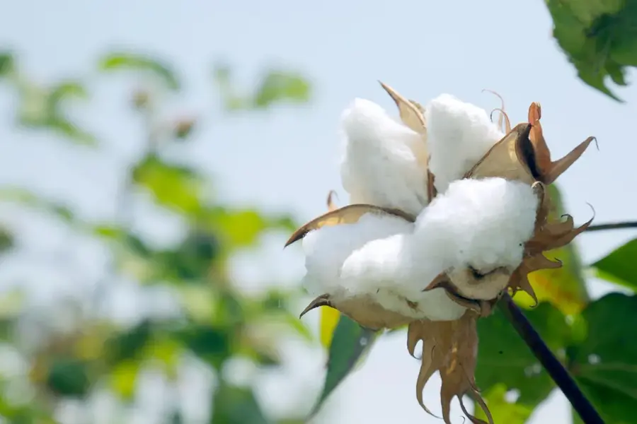
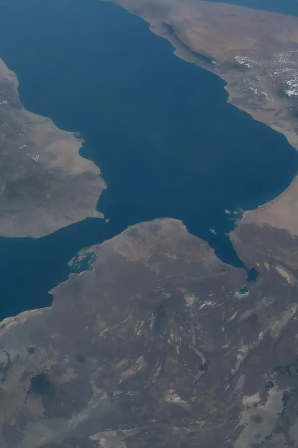
The Barka Plain extends across the western part of Eritrea, forming a wide, gently undulating landscape that geographically slopes toward the Sudanese border. This region is drained by the Barka River and its tributaries, making it one of the most important agricultural areas in the country. The relief is characterized by sedimentary deposits and occasional granite inselbergs that stand out from the otherwise flat surface. The climate here is significantly hotter and drier than in the highlands, leading to the development of savanna and semi-desert vegetation. Historically, the Barka Plain was a significant corridor for trade caravans between the Nile Basin and the Red Sea coast. Today, the region is known for its large-scale cultivation of grain and cotton, as well as livestock farming by nomadic communities roaming the plain.
- Location: Eritrea
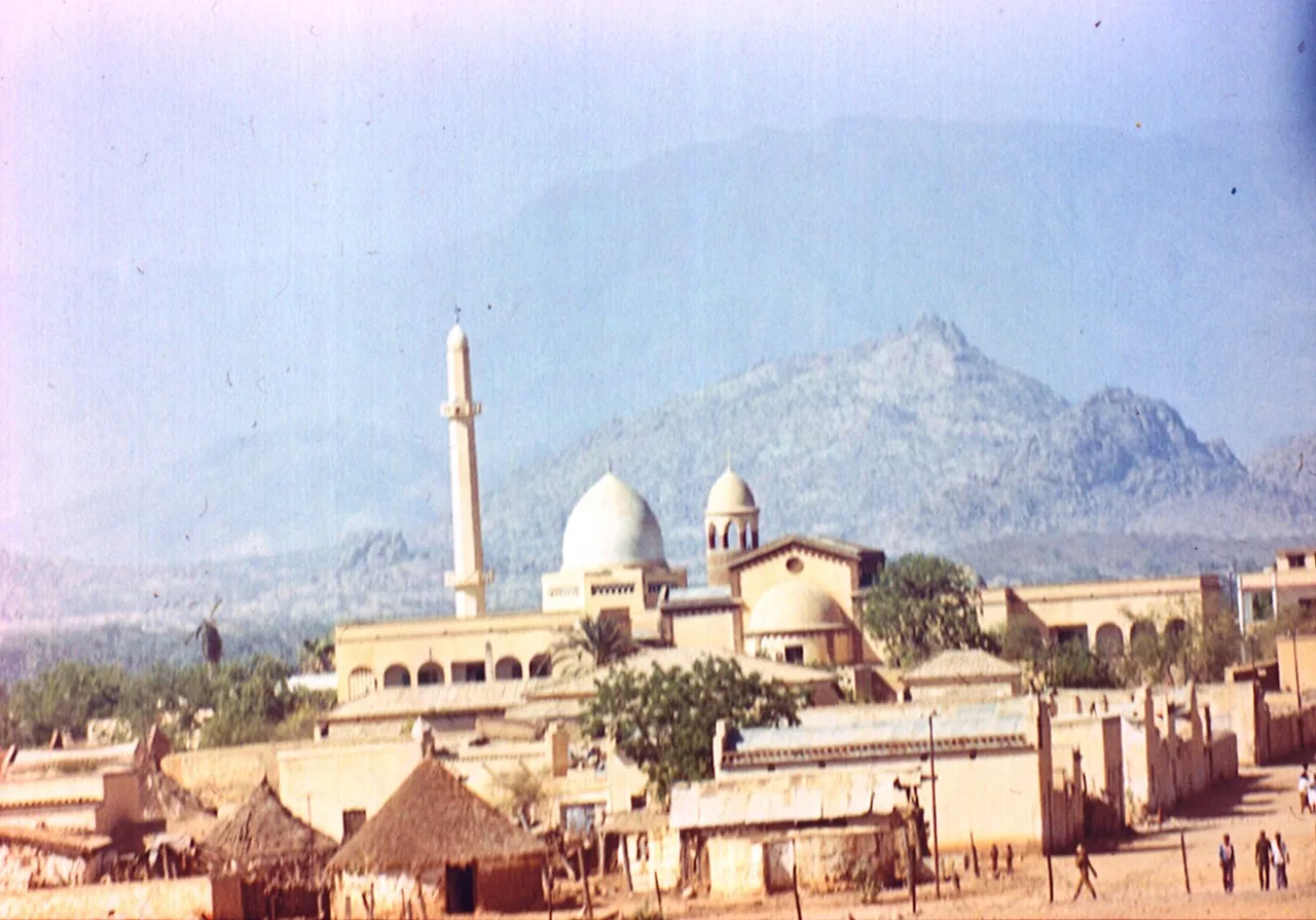
- Nearby: Barentu (36 km)
Best time to visit & climate
The most pleasant time to visit is Jan, Feb, Dec.
| Jan | Feb | Mar | Apr | May | Jun | Jul | Aug | Sep | Oct | Nov | Dec | |
|---|---|---|---|---|---|---|---|---|---|---|---|---|
| Avg °C | 26 | 28 | 30 | 32 | 33 | 31 | 28 | 26 | 27 | 29 | 28 | 26 |
| Rain mm | 0 | 1 | 2 | 9 | 20 | 30 | 97 | 130 | 41 | 8 | 1 | 0 |
📋 Practical info
Geography
Facts
- The plain lies at an average altitude of 600 to 1000 meters.
- The Barka River carries water only during the summer rainy season.
- The region is one of the main growing areas for millet and sorghum.
- Granite inselbergs characterize the otherwise flat relief.
- Geographically, the plain borders Sudan to the west.
- Vegetation consists mainly of acacias and thorn bushes.
Explore nearby
Notable places around
Route planner — Car & Motorhome
Where do you start? We build the route here, with stops and country notes along the way.
© OpenStreetMap contributors · OpenRouteService
Sights nearby
Frequently asked questions
What characterizes the Barka Plain?
Is the plain developed for tourism?
What is the best season?
Do I need a guide?
What equipment is important?
Barka Plain: where is it located?
Barka Plain: when is the best time to visit?
Barka Plain: why is it worth visiting?

Nearby cities

History & landmarks
More places