Plizio Visual Lab
Ciudad de la Paz
ℹ️Practical info — Ciudad de la Paz
▾
🌤 Weather — 5 days
📍 Nearby
Sights nearby
💡 Tips
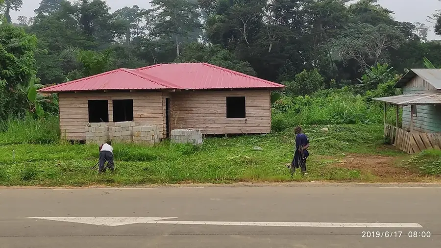
- As a planned city still under development, infrastructure can be patchy; arrange private transport through your hotel.
- The city is surrounded by dense jungle; bring effective insect repellent and anti-malarial medication if advised.
- Photography of government buildings and military areas is often restricted; always ask for permission first.
- Cash is king here (CFA francs); ATMs can be unreliable, so withdraw enough money in Malabo or Bata before arriving.
🍽 Food
A savory chicken and plantain stew. Usually available in the restaurants of larger international hotels.
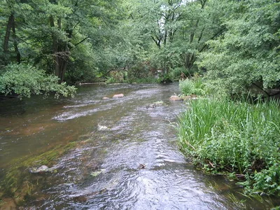
Caught locally from the Wele River. Ask your hotel chef if they can prepare it traditional style.
Papaya, mango, and pineapple purchased from small local vendors on the outskirts of the city.
🛍 Shopping · 🧘 Quiet spots
Currently the most reliable places to buy basic supplies or souvenirs in the newly built areas.
Look for locally grown Equatorial Guinean coffee in the nearby established towns or hotel shops.
The manicured grounds of this luxury resort offer a safe and very quiet walking area.
Take a guided walk along the river where the modern city infrastructure meets the untouched rainforest.
Water temperature…
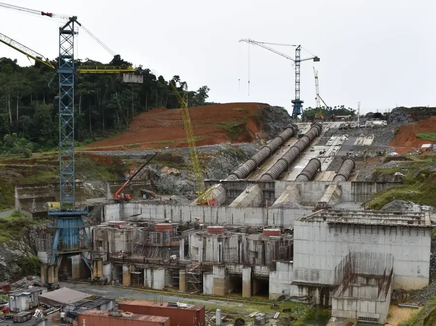
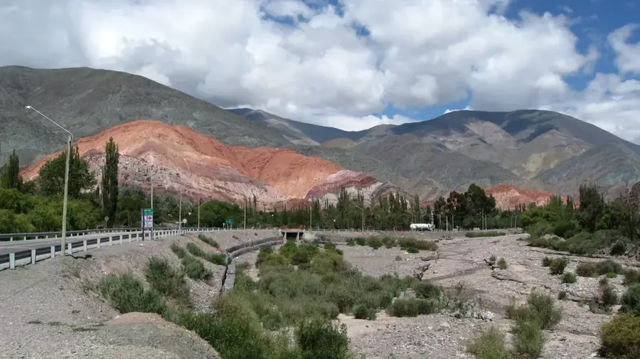
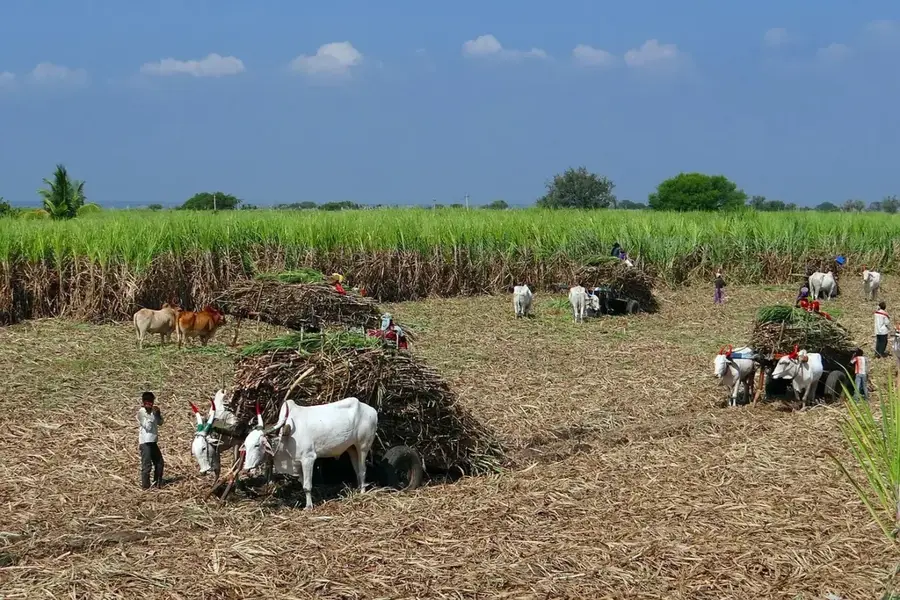
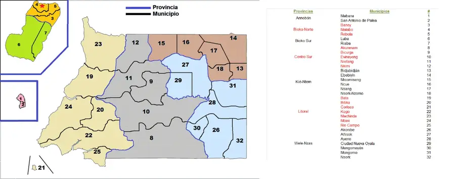
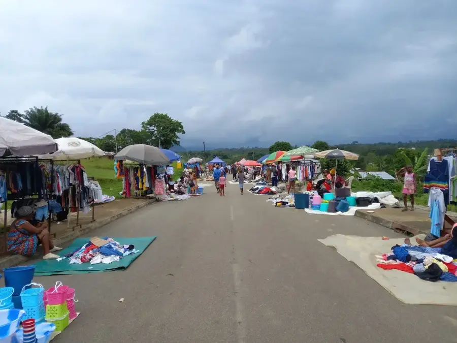
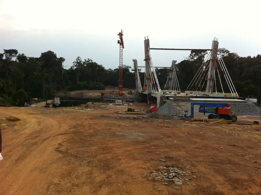
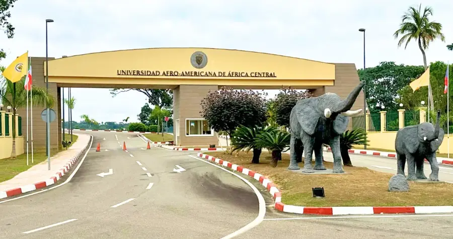
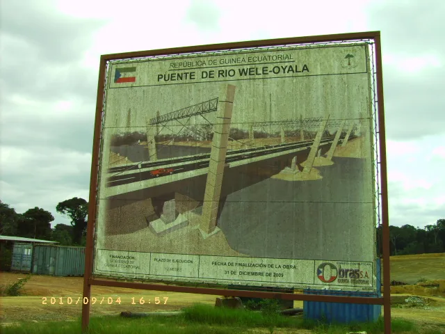
Ciudad de la Paz, formerly known as Oyala, is a futuristic planned city envisioned as the new administrative capital of Equatorial Guinea. Located in the heart of the mainland forest within the Djibloho province, it represents a strategic shift of the national government from the island of Bioko to the interior of Rio Muni. The city was designed by international architects to be a model of modern urbanism, featuring sustainable energy systems, advanced telecommunications, and a layout that integrates the natural beauty of the Wele River. The decision to establish a capital here was driven by national security considerations and the objective of decentralizing development away from the coast. Today, Ciudad de la Paz has impressive landmarks, including high-end government ministries, presidential residences, and the renowned American University of Central Africa (AUCA). The city's infrastructure is supported by the Djibloho Dam, which provides clean hydroelectric power to the metropolitan area. One of its most striking features is the system of modern bridges spanning the Wele River, connecting various functional zones such as the financial district, administrative quarter, and residential blocks. The Grand Hotel Djibloho serves as a centerpiece for international conferences and luxury tourism, offering world-class amenities in a lush tropical setting. As a hub for regional diplomacy, the city frequently hosts summits for African leaders. While the transition from Malabo is an ongoing process, Ciudad de la Paz already functions as a symbol of the nation's 21st-century ambitions and its wealth derived from natural resources. The surrounding rainforest is being carefully managed to maintain an ecological balance even as urban growth continues. The city's location provides a much cooler and more stable environment compared to the humid coastal plains, making it an attractive destination for the country's growing administrative elite and international partners.
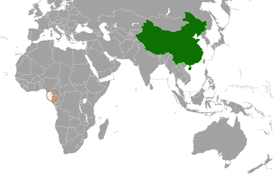
- Location: Equatorial Guinea
- Nearby: Mengomeyén (23 km)
- Population: ~2.000 (2026)
Best time to visit & climate
The most pleasant time to visit is Jun–Aug.
| Jan | Feb | Mar | Apr | May | Jun | Jul | Aug | Sep | Oct | Nov | Dec | |
|---|---|---|---|---|---|---|---|---|---|---|---|---|
| Avg °C | 24 | 24 | 24 | 24 | 24 | 23 | 23 | 23 | 23 | 23 | 23 | 24 |
| Rain mm | 70 | 93 | 188 | 173 | 145 | 75 | 30 | 54 | 130 | 263 | 228 | 103 |
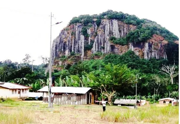
Geography
Facts
- Planned to eventually house up to 200,000 residents.
- Renamed from Oyala to Ciudad de la Paz in 2017.
- Host city for the American University of Central Africa.
- Located near the Djibloho Dam for sustainable energy.
- Coordinates: 1.5994° N, 10.8268° E.
- Served as a venue for multiple African Union meetings.
- Designed to decentralize the nation's political power.
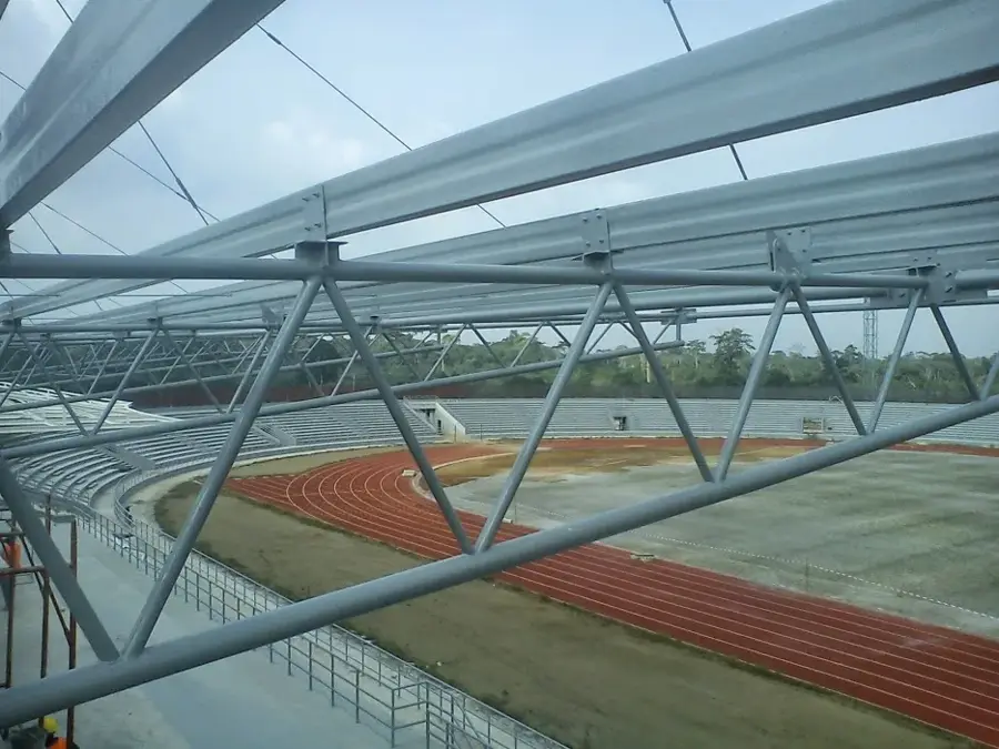
- The city features state-of-the-art medical and sports facilities.
Explore nearby
Notable places around
Route planner — Car & Motorhome
Where do you start? We build the route here, with stops and country notes along the way.
© OpenStreetMap contributors · OpenRouteService
Sights in the town Ciudad de la Paz (1)
Frequently asked questions
What is Ciudad de la Paz?
Can you visit the city?
Where exactly is Ciudad de la Paz located?
What is there to see?
What is the security like there?
Ciudad de la Paz: where is it located?
Ciudad de la Paz: when is the best time to visit?
Ciudad de la Paz: why is it worth visiting?

Nearby cities


History & landmarks
Nature
More places